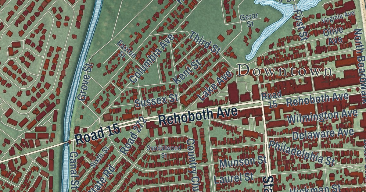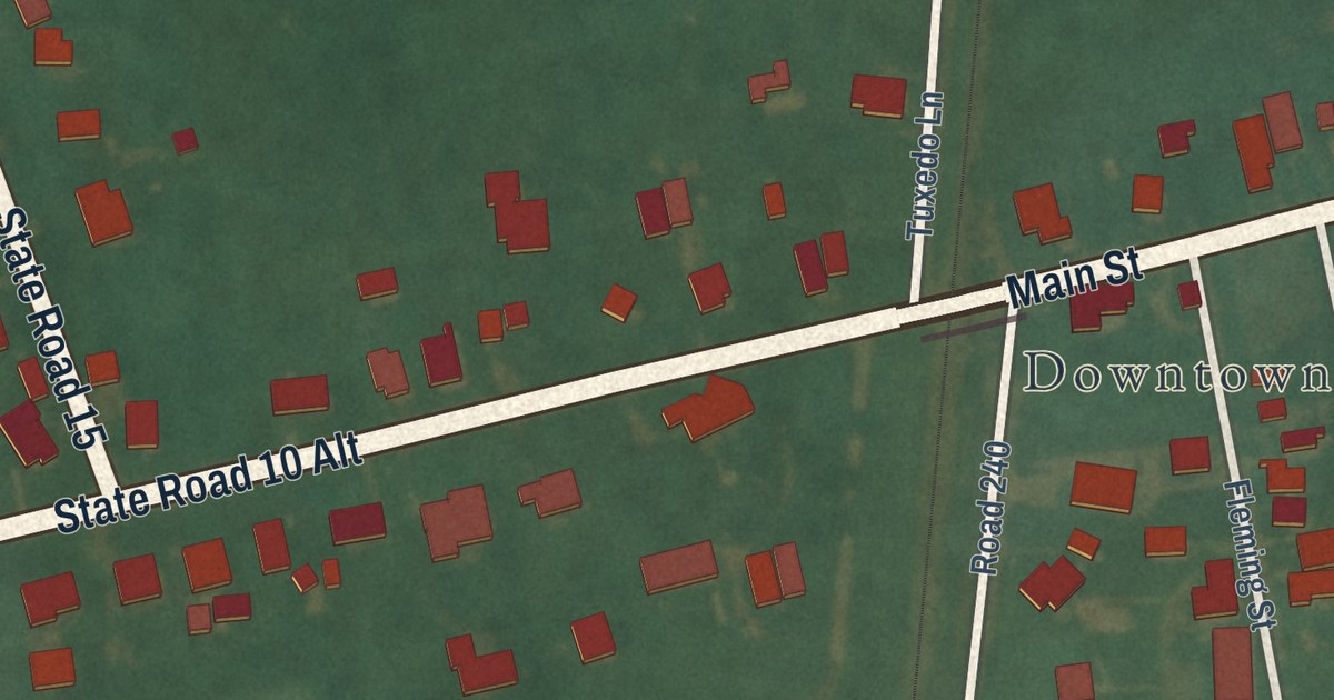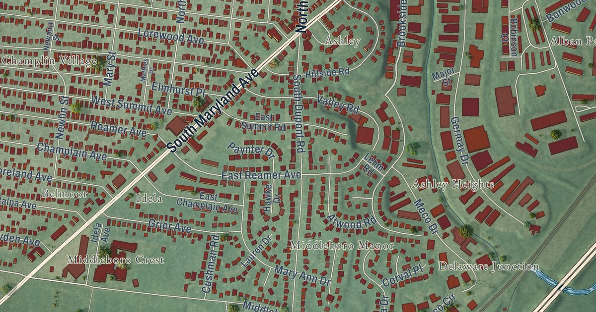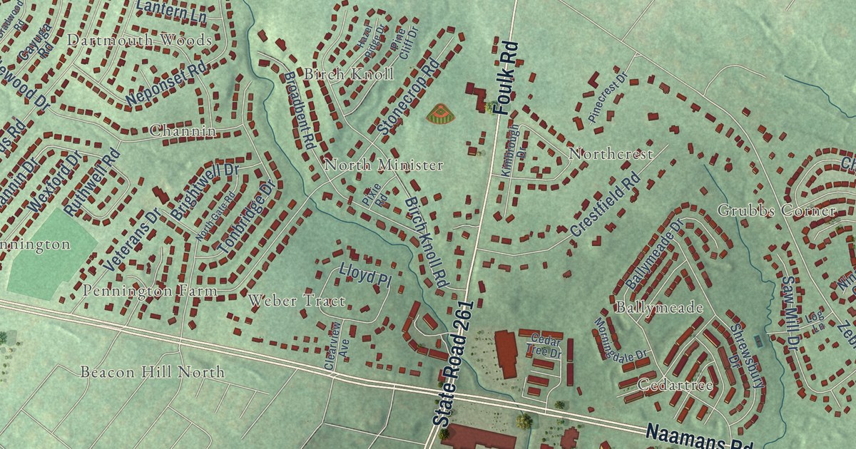
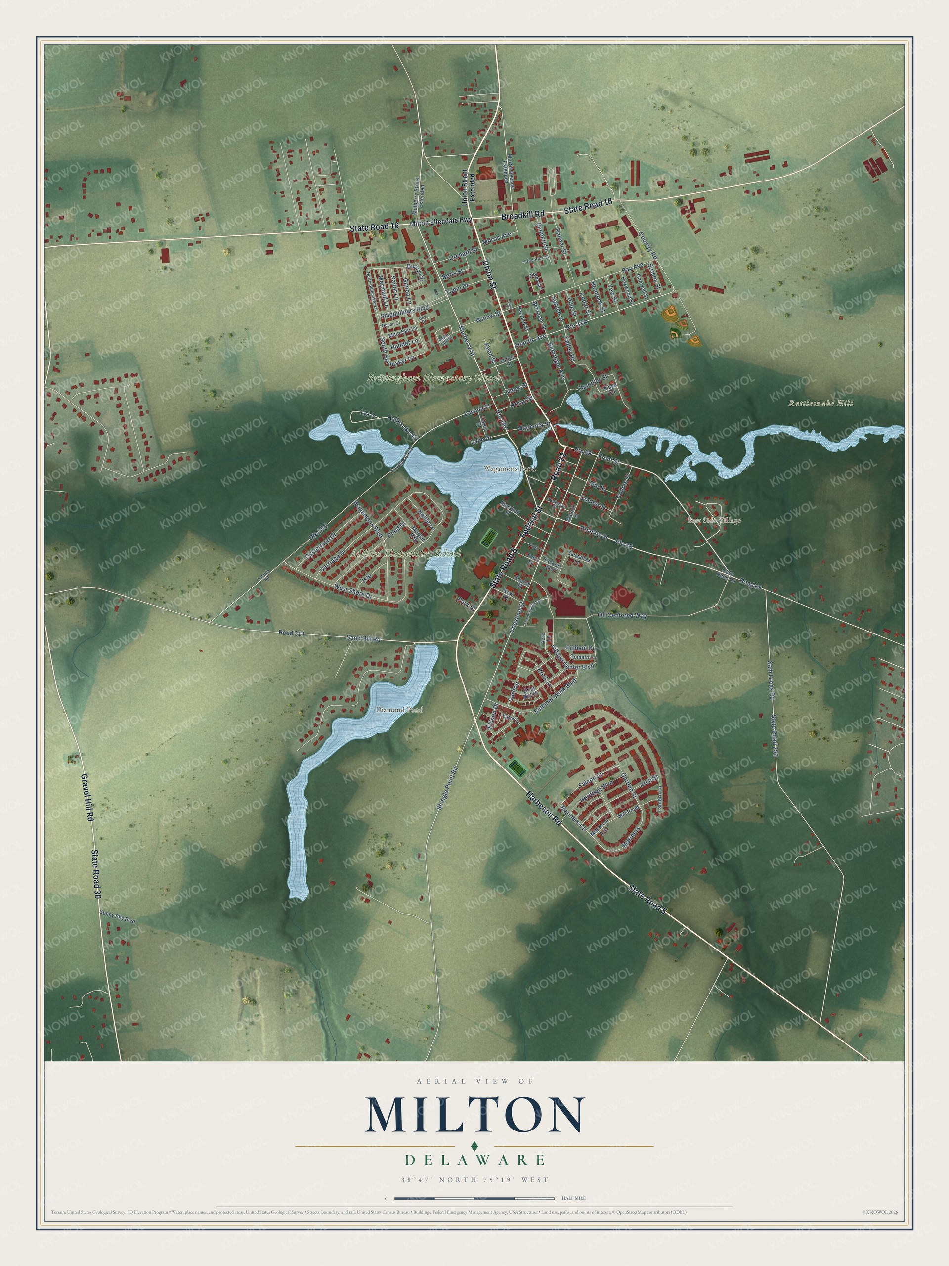
This beautifully detailed map of Milton, Delaware was created in 2026 using aerial imagery combined with modern topographical, census, street and landmark data. It’s a one-of-a-kind view of Milton that combines accurate data with a vintage aesthetic. The map shows every building in its true location, many of the roads carry their names, and the shaded topographic relief shows the shape of the land.
Explore an aerial view of Milton, Delaware
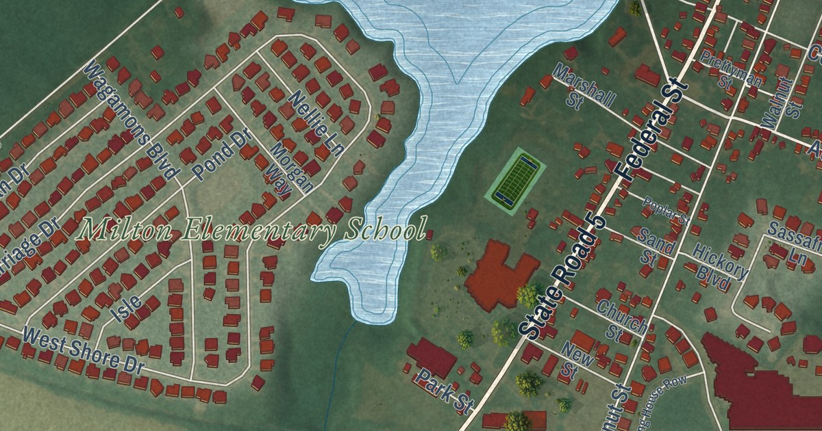
On the map you’ll find Downtown, Wagamons Pond, Brittingham Elementary School, Diamond Pond, Rattlesnake Hill, Milton Elementary School, Collins and Russell Development, East Side Village, and Road 22, along with Union Street, State Road 5, Harbeson Road, and more. If you look closely you can even find your house accurately drawn in its correct location. Zoom in on the preview to look for yours.
Did you know this piece of Milton, Delaware history?
From the Delaware Public Archives: "During World War II, the theater was used for fundraising efforts and sold war bonds and stamps, and collected vinyl records to send to troops."
Take a closer look at the Milton map
Street and place names on the Milton, Delaware map
These names are printed on the map of Milton, Delaware.
Places: Wagamons Pond, Brittingham Elementary School, Diamond Pond, Rattlesnake Hill, Milton Elementary School and East Side Village.
Streets and roads: Union Street, State Road 5, Road 22, Harbeson Road, State Road 16, Federal Street, Gravel Hill Road, State Road 30, Broadkill Road, Front Street, Route 89, Atlantic Street.
More street names, A to Z
Acre Lane, Arch Street, Atlantic Avenue, Bay Avenue, Bay Court, Behringer Avenue, Behringer Street, Bennett Street, Betts Street, Boxwood Street, Brick Lane, Broad Street, Canning House Row, Carey Street, Carlton, Carriage Drive, Cave Neck Road, Cedar Street, Chandler Street, Chestnut Street, Church Street, Clifton Street, Collins Street, Conwell Street, Coulter Street, Country Road, Duory Circle, Eaton Lane, Ellison Drive, Falcon Lane, Frederick Street, Fulham Drive, Garden Street, Genoa Lane, Grist Mill Drive, Hazzard Street, Hemlock Street, Heritage Boulevard, Hickory Boulevard, Holly Lake Circle, Isle, Lake Drive, Lantern Lane, Lavinia Causeway, Lavinia Road, Lavinia Street, Luther Circle, Magnolia Street, Main Sail Drive, Main Sail Lane, Mariners, Mariners Circle, Marshall Street, Mermaid Lane, Mill Pond, Mill Pond Avenue, Mill Street, Milton Ellendale Highway, Morgan Way, Morris Avenue, Morris Avenue Extended, Mulberry Street, Mulberry Street Extended, Nellie Lane, New Street, North Spinnaker Lane, Ocean Court, Off Centered Way, Orchard Street, Oysterman Drive, Palmer Street, Park Street, Pine Street, Plum Street, Pond Drive, Poplar Street, Prettyman Street, Reed Street, Ridge Road, Road 88, Road 319, Route 88, Route 197, Route 250, Rudder Lane, Sailor Lane, Sam Lucas Road, Sand Hill Road, Sand Street, Sassafras Lane, Shingle Point Road, Shipbuilders Boulevard, South Spinnaker Lane, Spruce Street, State Road 256, Summer Walk Boulevard, Sunny Sky Boulevard, Sussex Street, Tilney Street, Tobin Drive, Tomato Lane, Union Street Extended, Valley Road, Village Center Boulevard, Wagamons Boulevard, Walnut Street, West Shore Drive, Willow Street, Yew Street.
See the Milton, Delaware map on a wall
The Milton map as an 18 x 24 inch print in a black frame.

This beautifully detailed map of Milton makes an attractive addition to your office, library, or den, and it can even be used to teach children the geography and history of the area. It also makes a great gift for anyone with Milton roots. When you’re done exploring, click here to get your copy of the Milton map.