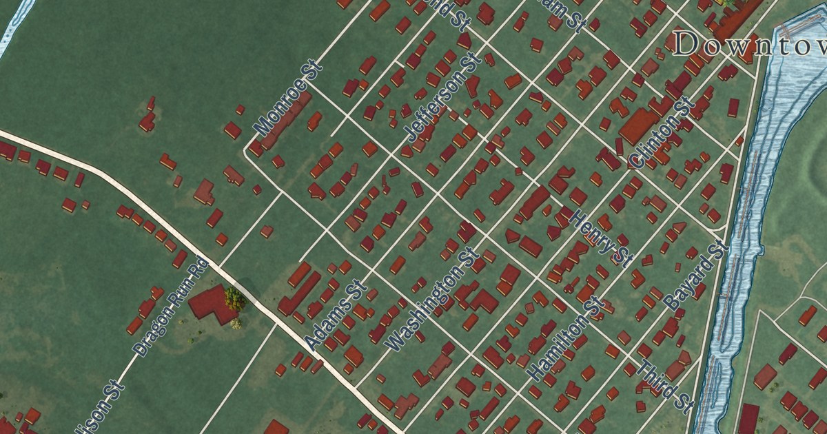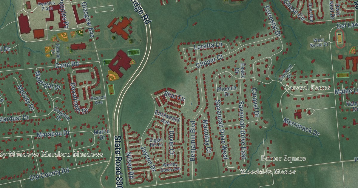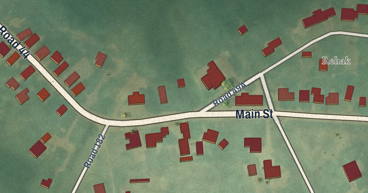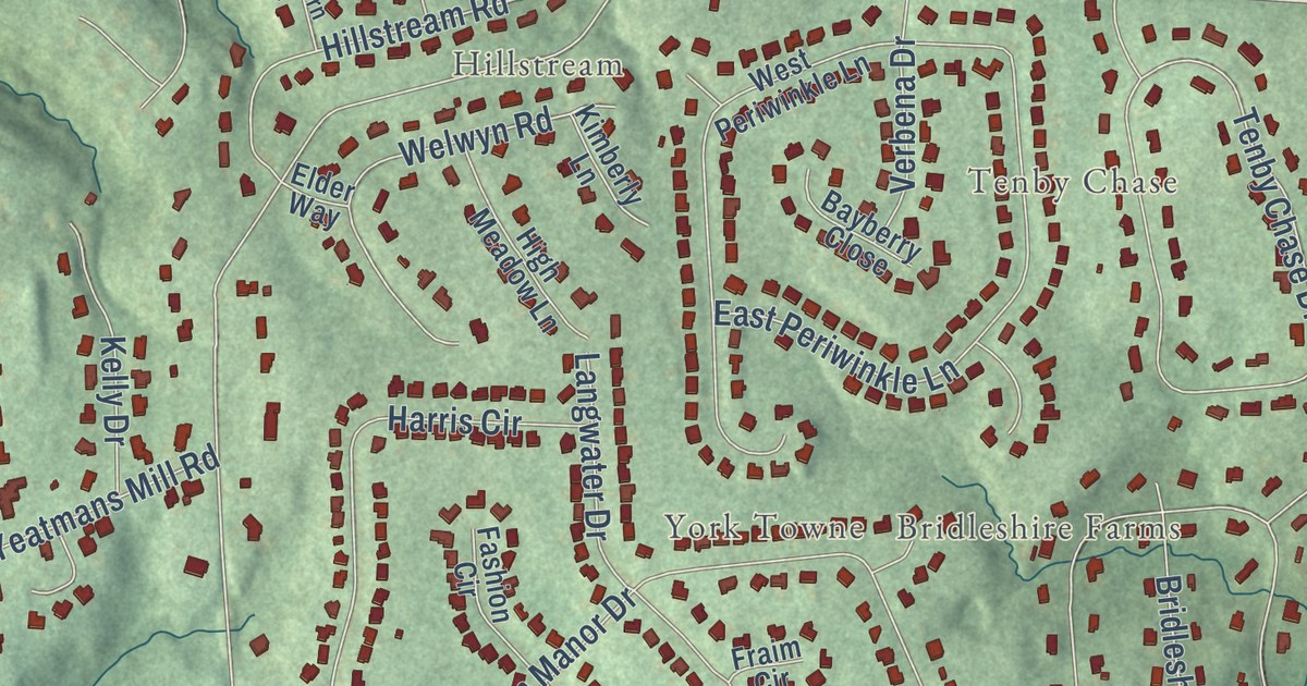
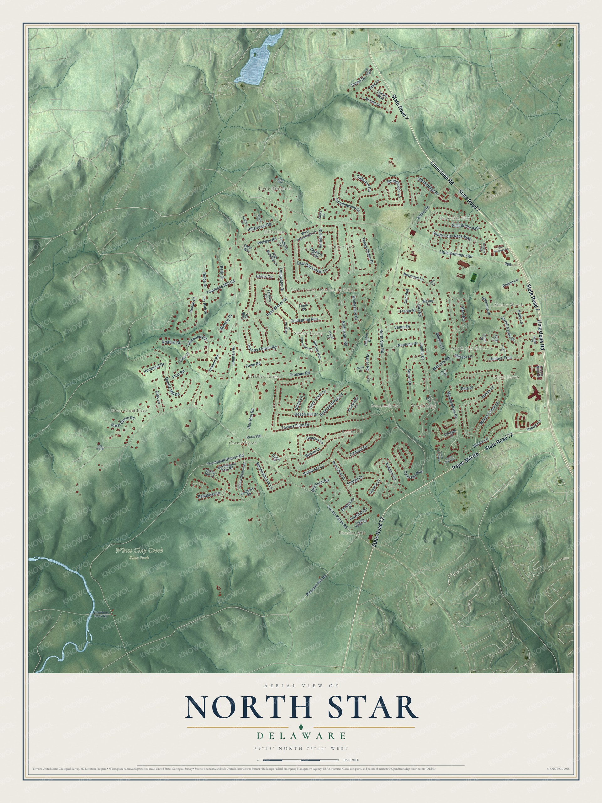
This beautifully detailed map of North Star, Delaware was created in 2026 using aerial imagery combined with modern topographical, census, street and landmark data. It’s a one-of-a-kind view of North Star that combines accurate data with a vintage aesthetic. The map shows every building in its true location, many of the roads carry their names, and the shaded topographic relief shows the shape of the land.
Explore an aerial view of North Star, Delaware
On the map you’ll find White Clay Creek State Park, Ainsley Woods, Beech Hill, Berkeley Farms, Bridleshire Farms, Corner Ketch, Great Good Place, Hillstream, Hockessin Hunt, Jarrell Farms, Little Baltimore, Meadowbrook, and more. If you look closely you can even find your house accurately drawn in its correct location. Zoom in on the preview to look for yours.
Did you know this piece of North Star, Delaware history?
From the National Register of Historic Places: "The log section of the Graham House was originally a tenant house owned by the Thompson family… The walls are built with horizontally-laid logs, with the bark still attached, chinked with wood scraps and mortar."
Take a closer look at the North Star map
Street and place names on the North Star, Delaware map
These names are printed on the map of North Star, Delaware.
Places: White Clay Creek State Park, Hockessin Hunt, Beech Hill, Hillstream, Great Good Place, Jarrell Farms, Pleasant Hill, Stirrup Farms, Corner Ketch, Wood Ridge, Ainsley Woods, Berkeley Farms, Bridleshire Farms, Little Baltimore, Tenby Chase, Meadowbrook, North Star Addition and York Towne.
Streets and roads: Limestone Road, State Road 7, Paper Mill Road, State Road 72, Great Circle Road, Coldspring Run, Stirrup Run, Corner Ketch Road, Little Baltimore Road, Auspice Circle, Thompson Station Road, Doe Run Road.
More street names, A to Z
Abelia Lane, Aubrey Lane, Auspice Court, Autumnwood Drive, Bayberry Close, Beacon Lane, Beech Hill Drive, Branch Road, Bridleshire Court, Bridleshire Road, Bristol Lane, Brookridge Lane, Cabot Place, Cain Rue, Cardiff Court East, Cardiff Court West, Celestial Way, Chambers Rock Road, Chesbee Drive, Comet Lane, Country Flower Road, Cox Road, Croom Mills Drive, Crossan Road, Deer Run, Deer Track Lane, Delpa Drive, Donegal Court, East Bridle Path, East Periwinkle Lane, Eileens Way, Elder Way, Faith Circle, Farm Meadows Lane, Fashion Circle, Fawn Road, Findail Drive, Flint Road, Forestal Circle, Fox Path Drive, Fraim Circle, Fraser Place, Galaxy Drive, Gibbs Lane, Haileys Trail, Harris Circle, High Meadow Lane, Hillstream Road, Horseshoe Road, Ironwood Drive, Jacks Lane, Jarrell Farms Drive, Jobs Lane, Jupiter Drive, Kelly Drive, Kelly Lane, Kimberly Lane, Kingbury Road, Kraffert Court, Lakeview Drive, Lakewood Circle, Lamatan Road, Langwater Drive, Libbys Circle, Loras Way, Lowe Court, Madison Lane, Mars Road, Meadowbrook Lane, Meadowdale Drive, Mercury Road, Meteor Court, Meteor Lane, Mollie Court, Neptune Drive, Nicola Lane, Normans Lane, North Star Road, Oakknoll Circle, Old Farm Road, Orbit Circle, Orion Court, Pacer Court, Paloni Lane, Penn Manor Drive, Pickering Trail, Pigeon Hollow Road, Pine Hill Road, Pine Place, Planet Road, Pleasant Hill Road, Polaris Drive, Quartz Mill Road, Radburn Lane, Reese Drive, Renee Lane, Revelstone Court, Revelstone Drive, Road 296, Running Brook Lane, Saturn Drive, Sebastian Drive, Shannon Place, Solar Court, Somerset Lane, South Colts Neck Way, Springbrook Lane, Spring Hill Lane, Stonebridge Drive, Sun Court, Sunway Drive, Susan Drive, Taylors Farm Drive, Tenby Chase Drive, Tims Lane, Tremont Court, Union Station Road, Valley Road, Venus Drive, Verbena Drive, Welwyn Road, Wesley Drive, West Periwinkle Lane, Willow Creek Lane, Worthington Park Road, Yeatmans Mill Road.
See the North Star, Delaware map on a wall
The North Star map as an 18 x 24 inch print in a black frame.

This beautifully detailed map of North Star makes an attractive addition to your office, library, or den, and it can even be used to teach children the geography and history of the area. It also makes a great gift for anyone with North Star roots. When you’re done exploring, click here to get your copy of the North Star map.