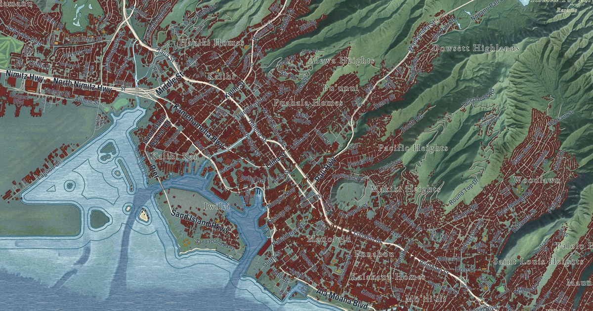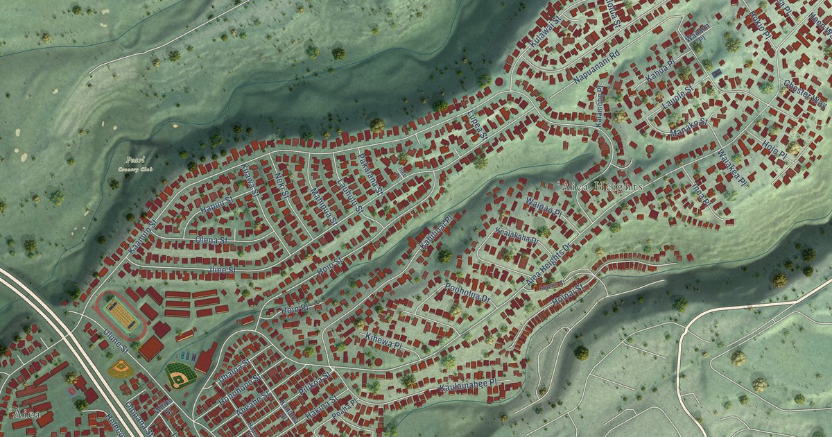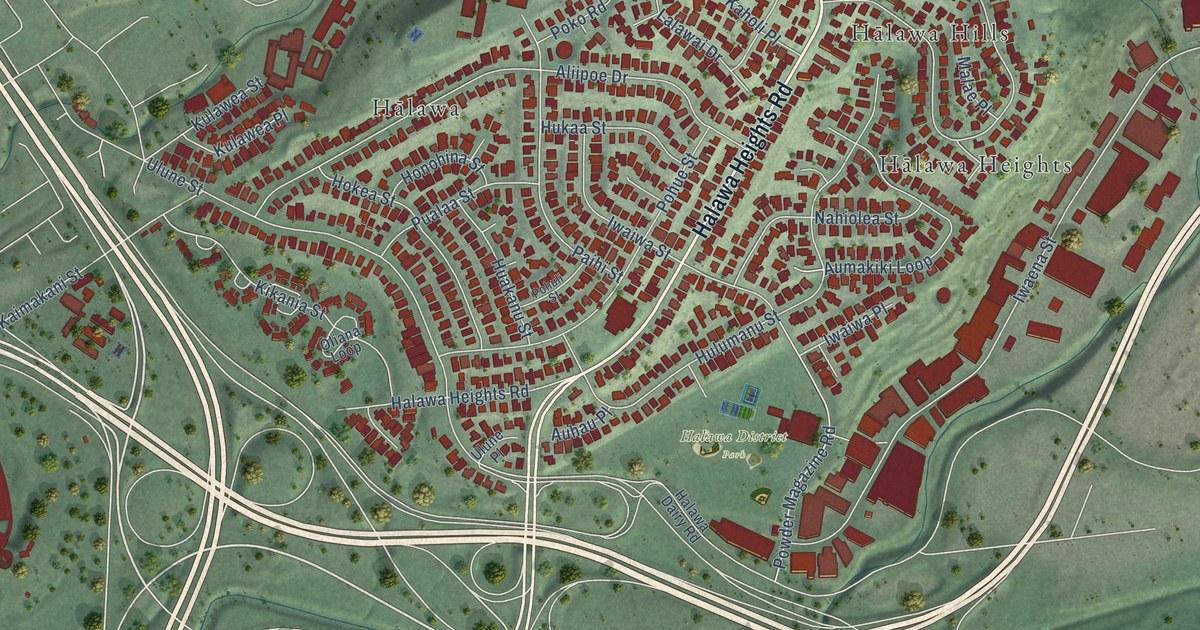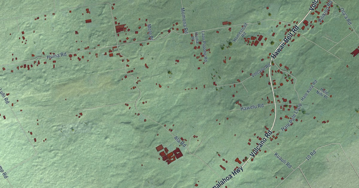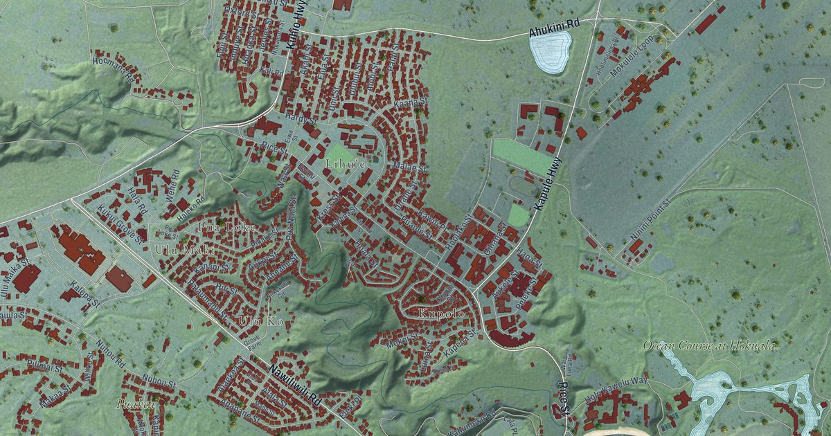
This beautifully detailed map of Lihue, Hawaii was created in 2026 using aerial imagery combined with modern topographical, census, street and landmark data. It’s a one-of-a-kind view of Lihue that combines accurate data with a vintage aesthetic. The map shows every building in its true location, many of the roads carry their names, and the shaded topographic relief shows the shape of the land.
Explore an aerial view of Lihue, Hawaii
On the map you’ll find Ulu Mahi, Ulu Ko, Kupolo, Līhuʻe, Nāwiliwili, Pua Loke, Ocean Course at Hokuala, and Puakea, along with Rice Street, Kuhio Highway, Ahukini Road, Nawiliwili Road, and more. If you look closely you can even find your house accurately drawn in its correct location. Zoom in on the preview to look for yours.
Did you know this piece of Lihue, Hawaii history?
From Thrum's Hawaiian Annual: "On June 18, 1881, the bark Ceder arrived from Bremen with 124 passengers, 34 of whom were children, for the Lihue plantation."
Take a closer look at the Lihue map
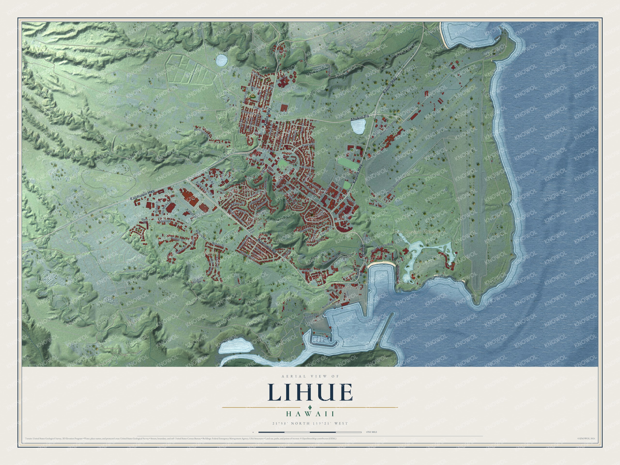
Street and place names on the Lihue, Hawaii map
These names are printed on the map of Lihue, Hawaii.
Places: Ulu Mahi, Ulu Ko, Kupolo, Līhuʻe, Nāwiliwili, Pua Loke, Ocean Course at Hokuala and Puakea.
Streets and roads: Rice Street, Kuhio Highway, Ahukini Road, Nawiliwili Road, Kapule Highway, Kaumualii Highway, Ehiku Street, Nuhou Road, Nuhou Street, Ninini Point Street, Niumalu Road, Hoolako Street.
More street names, A to Z
Aheahe Street, Akahi Street, Akoki, Akoki Street, Alaekea Street, Alala Place, Alala Street, Alohi Street, Apapane Street, Aukele Street, Aukoi Street, Cane Road, Eha Street, Eiwa Street, Ekolu Street, Eleki Place, Elima Street, Elua Street, Eono Street, Ewalu Street, Fujii Street, Grove Farm, Hala Road, Halehaka Road, Haleko Road, Haoa Street, Hardy Street, Hili Street, Hinahina Street, Hiraoka Street, Hoala Street, Holo Kawelu Way, Hoolimalima Place, Hoomana Road, Inouye Street, Jerves Street, Kaana Street, Kahumoku Road, Kalapaki Circle, Kalena Street, Kalepa Street, Kali Road, Kanakolu Street, Kanani Street, Kanio Street, Kanoa Road, Kapaia Road, Kapena Street, Kauila Street, Kawili Place, Kress Street, Kuene Street, Kukui Grove Street, Lala Place, Lala Road, Luina Street, Makaa Street, Malae Street, Malama Street, Mapu Street, Mokoi Street, Mokulele Loop, Nakamura Street, Noi Street, Nokekula Circle, Ohiohi Street, Oihana Street, Oxford Street, Pahee Street, Palai Street, Pala Street, Palaumahu Street, Peleke Street, Pikake Street, Pilimai Street, Pua Loke Street, Pua Nani Street, Puaole Street, Uluhui Street, Ulu Maika Street, Umi Street, Unahe Street, Upena Street, Waapa Road, Waa Street, Wai Luna Road, Wehe Road, Wiliko Street.
See the Lihue, Hawaii map on a wall
The Lihue map as an 18 x 24 inch print in a black frame.

This beautifully detailed map of Lihue makes an attractive addition to your office, library, or den, and it can even be used to teach children the geography and history of the area. It also makes a great gift for anyone with Lihue roots. When you’re done exploring, click here to get your copy of the Lihue map.