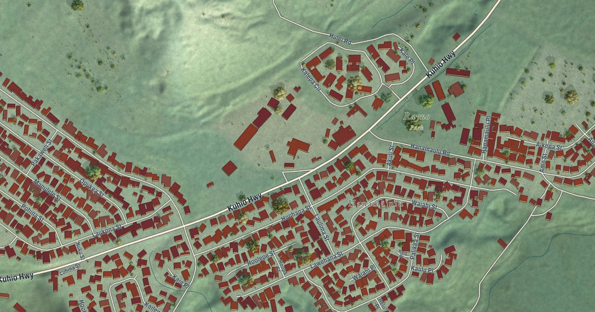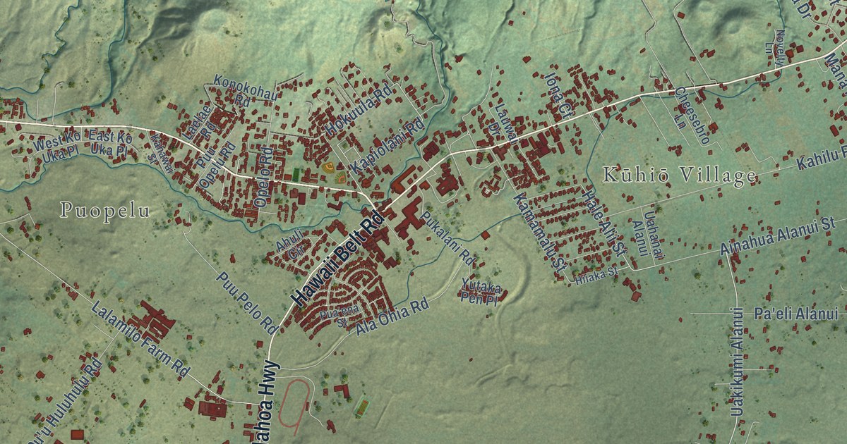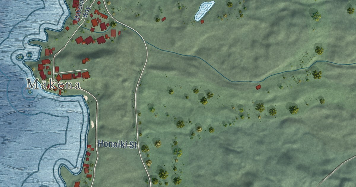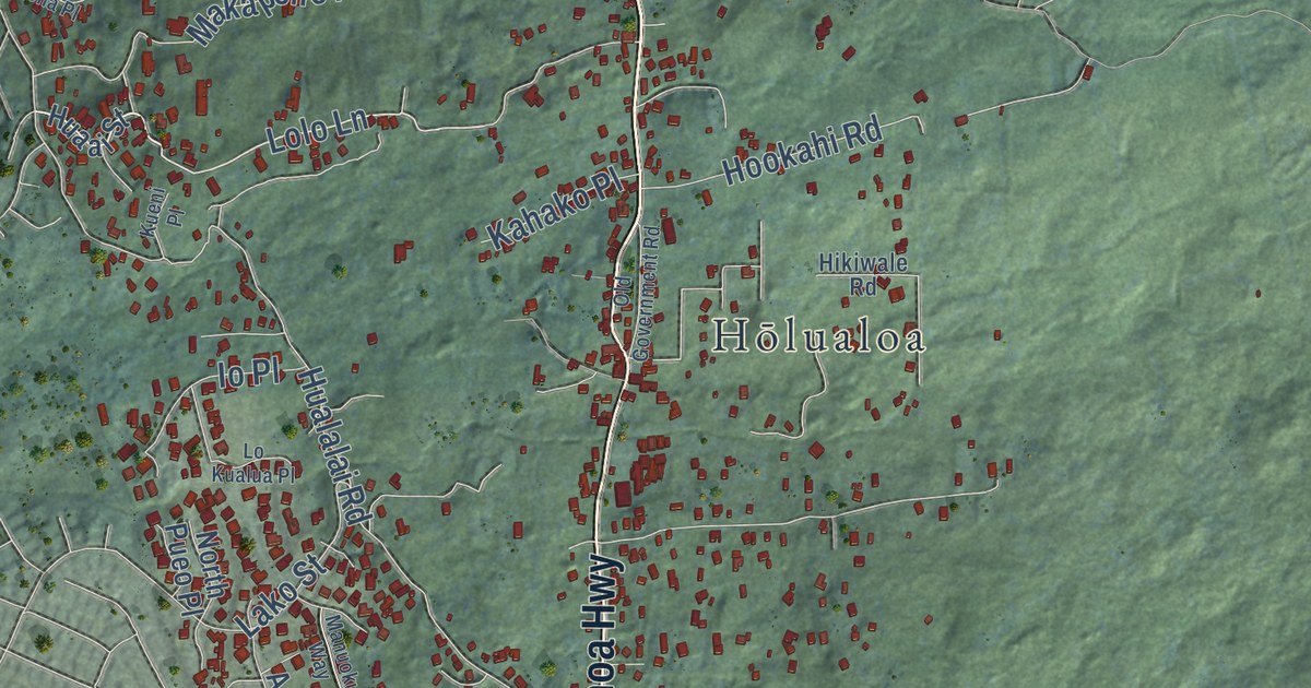
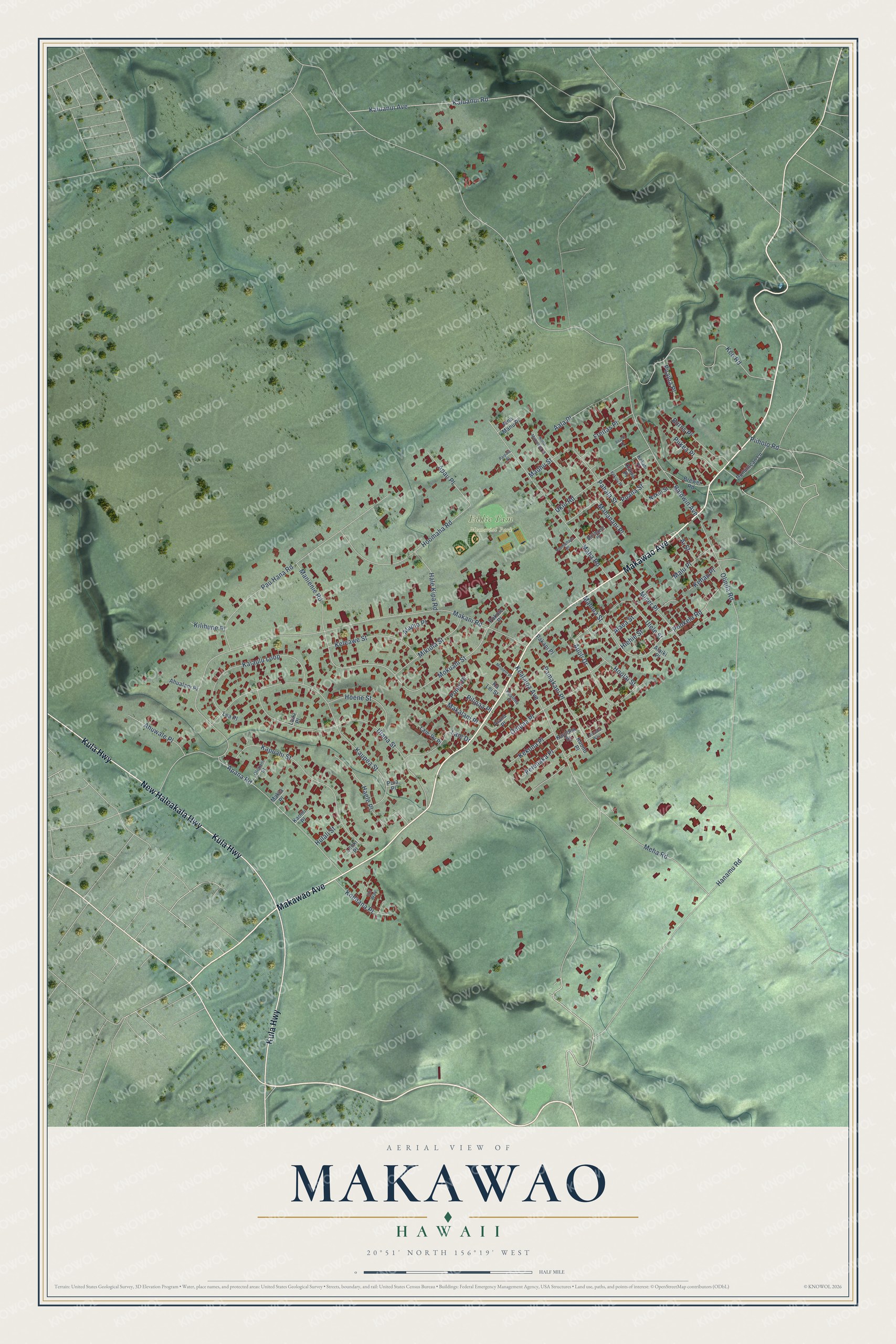
This beautifully detailed map of Makawao, Hawaii was created in 2026 using aerial imagery combined with modern topographical, census, street and landmark data. It’s a one-of-a-kind view of Makawao that combines accurate data with a vintage aesthetic. The map shows every building in its true location, many of the roads carry their names, and the shaded topographic relief shows the shape of the land.
Explore an aerial view of Makawao, Hawaii
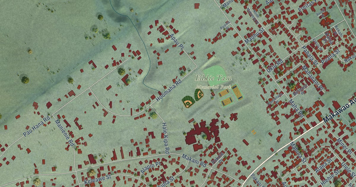
On the map you’ll find Eddie Tam Memorial Park, along with Makawao Avenue, New Haleakala Highway, Kula Highway, Kealaloa Avenue, Mokuahi Street, Baldwin Avenue, Makani Road, Olinda Road, Kaupea Street, Hanamu Road, Kaluanui Avenue, and more. If you look closely you can even find your house accurately drawn in its correct location. Zoom in on the preview to look for yours.
Did you know this piece of Makawao, Hawaii history?
From A Brief History of the Hawaiian People: "The first experiments in wheat-raising were made in Makawao in 1845, and a few years later it became a flourishing branch of industry."
Take a closer look at the Makawao map
Street and place names on the Makawao, Hawaii map
These names are printed on the map of Makawao, Hawaii.
Places: Eddie Tam Memorial Park.
Streets and roads: Makawao Avenue, New Haleakala Highway, Kula Highway, Kealaloa Avenue, Mokuahi Street, Baldwin Avenue, Makani Road, Olinda Road, Kaupea Street, Hanamu Road, Kaluanui Avenue, Kaluanui Road.
More street names, A to Z
Aala Place, Ahualani Place, Ahuwale Place, Aina Manu Place, Ai Street, Alaea Street, Alaiki Place, Alana Place, Alapio Place, Apana Road, Apau Place, Auoli Drive, Avanti Drive, Balthazar Place, Brewer Road, Burns Place, Dominican Lane, Freitas Place, Haele Place, Hale Kipa Road, Hiehie Street, Hoene Street, Hoolai Street, Hoomahana Place, Hoomaha Road, Hulali Street, Iini Way, Kaiaulu Loop, Ka Lei Street, Kalua Place, Kaomi Place, Kapuahi Street, Kaulona Street, Kee Road, Kehau Place, Kekahi Place, Kekolu Place, Kekona Place, Keleawe Street, Kilihune Place, Koehana Place, Kuono Place, Laie-Iki Place, Laie Drive, Laiki Place, Lea Place, Leinaala Way, Leoki Place, Mahanani Place, Maha Road, Mahola Street, Makalani Place, Makia Place, Malu Place, Manienie Road, Maohu Street, Meha Road, Mikiola Street, Miner Place, Moolelo Place, Nakui Street, North Makaleha Place, Olokani Street, Onipaa Place, Pahala Street, Paipala Place, Pakani Place, Pamakani Place, Pau Hana Road, Pelenaka Place, Piiholo Road, Piikea Place, Pilipaa Place, Poalima Place, Pokole Place, Ponoi Place, Pookela Road, Puaina Place, Puana Street, Puia Place, Ukiu Road, Ulana Street, Ulele Street.
See the Makawao, Hawaii map on a wall
The Makawao map as an 18 x 24 inch print in a black frame.

This beautifully detailed map of Makawao makes an attractive addition to your office, library, or den, and it can even be used to teach children the geography and history of the area. It also makes a great gift for anyone with Makawao roots. When you’re done exploring, click here to get your copy of the Makawao map.