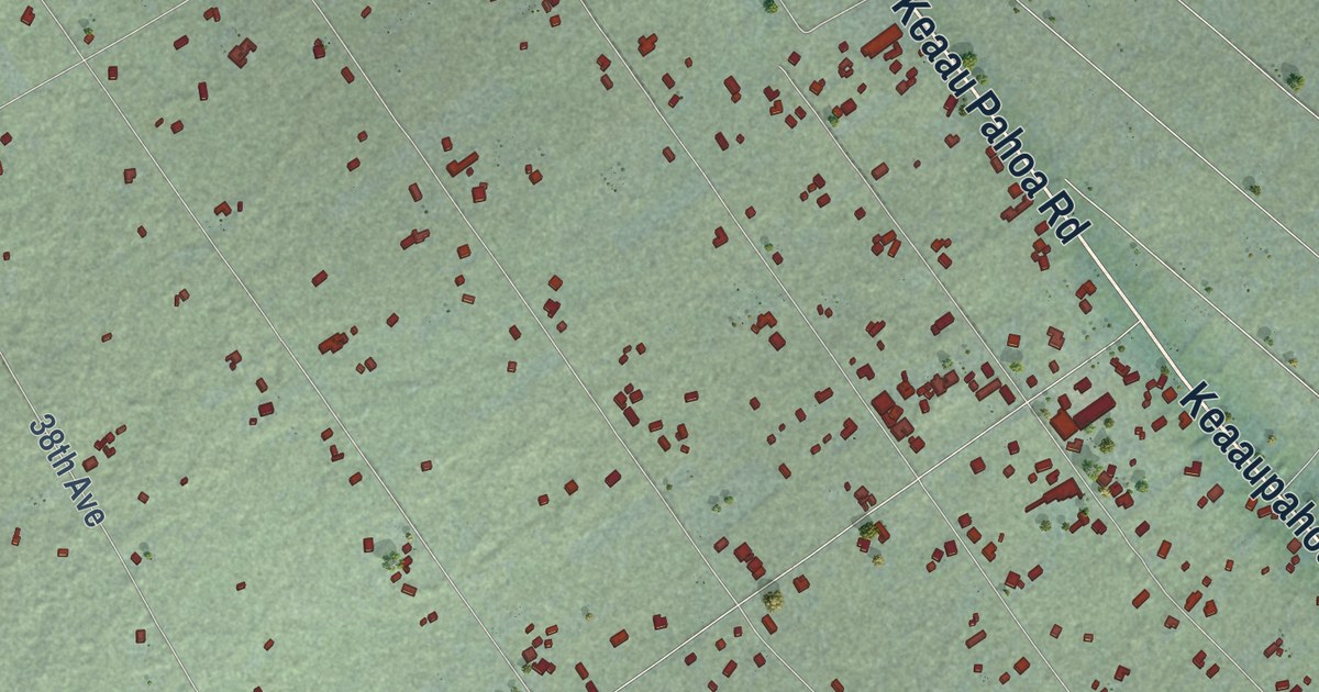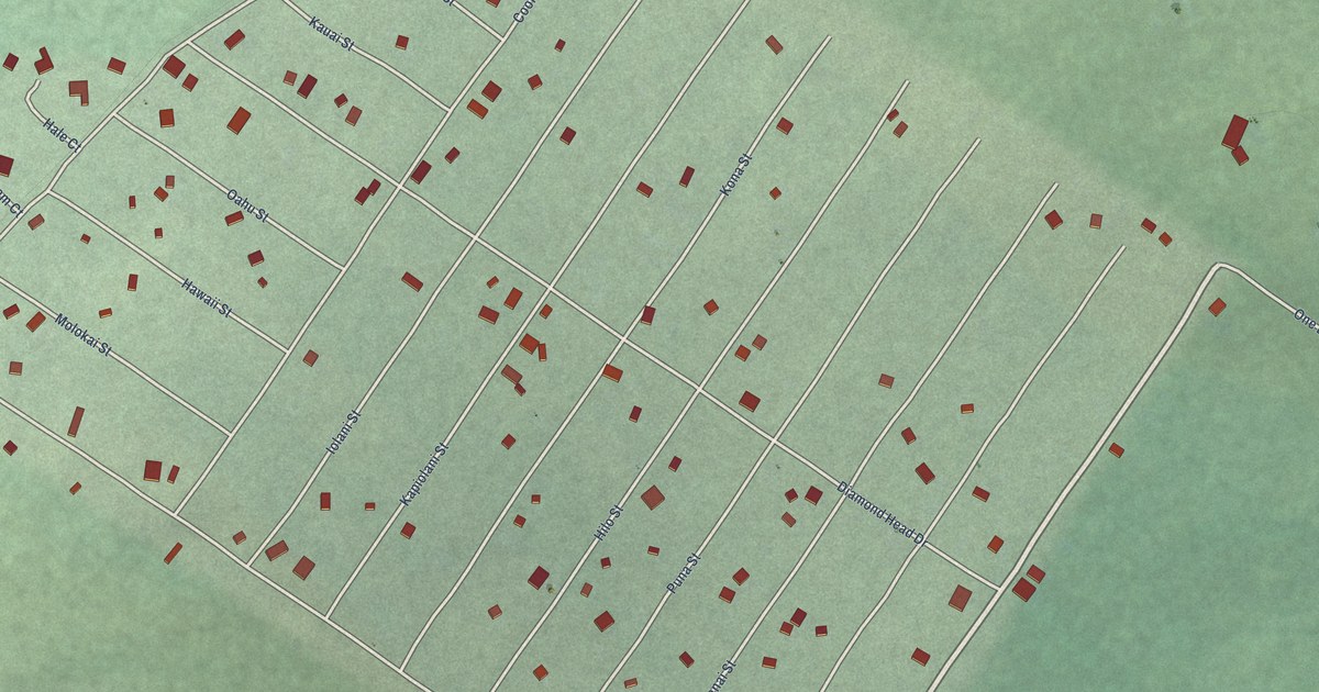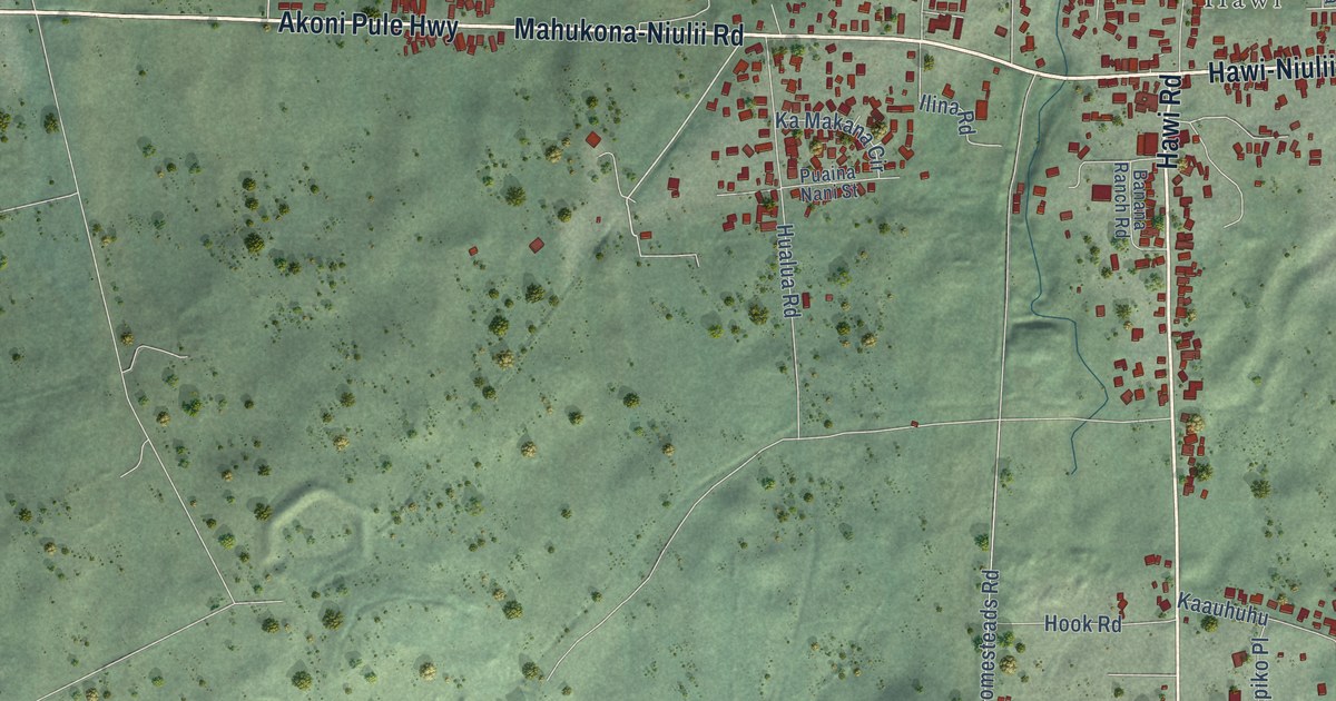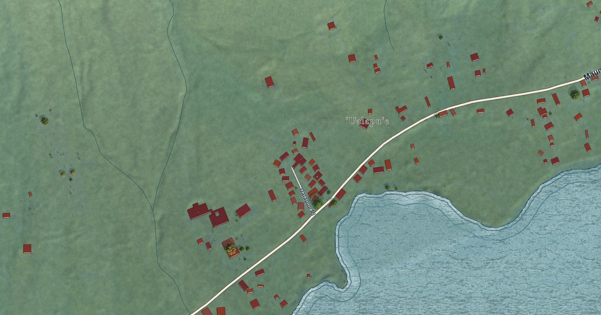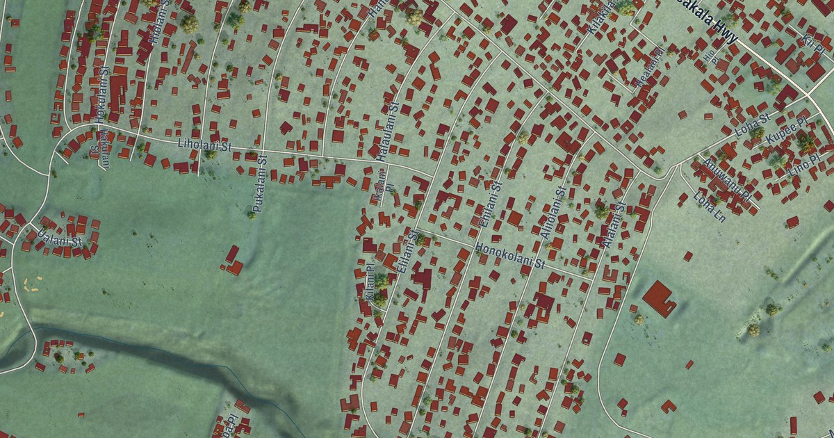
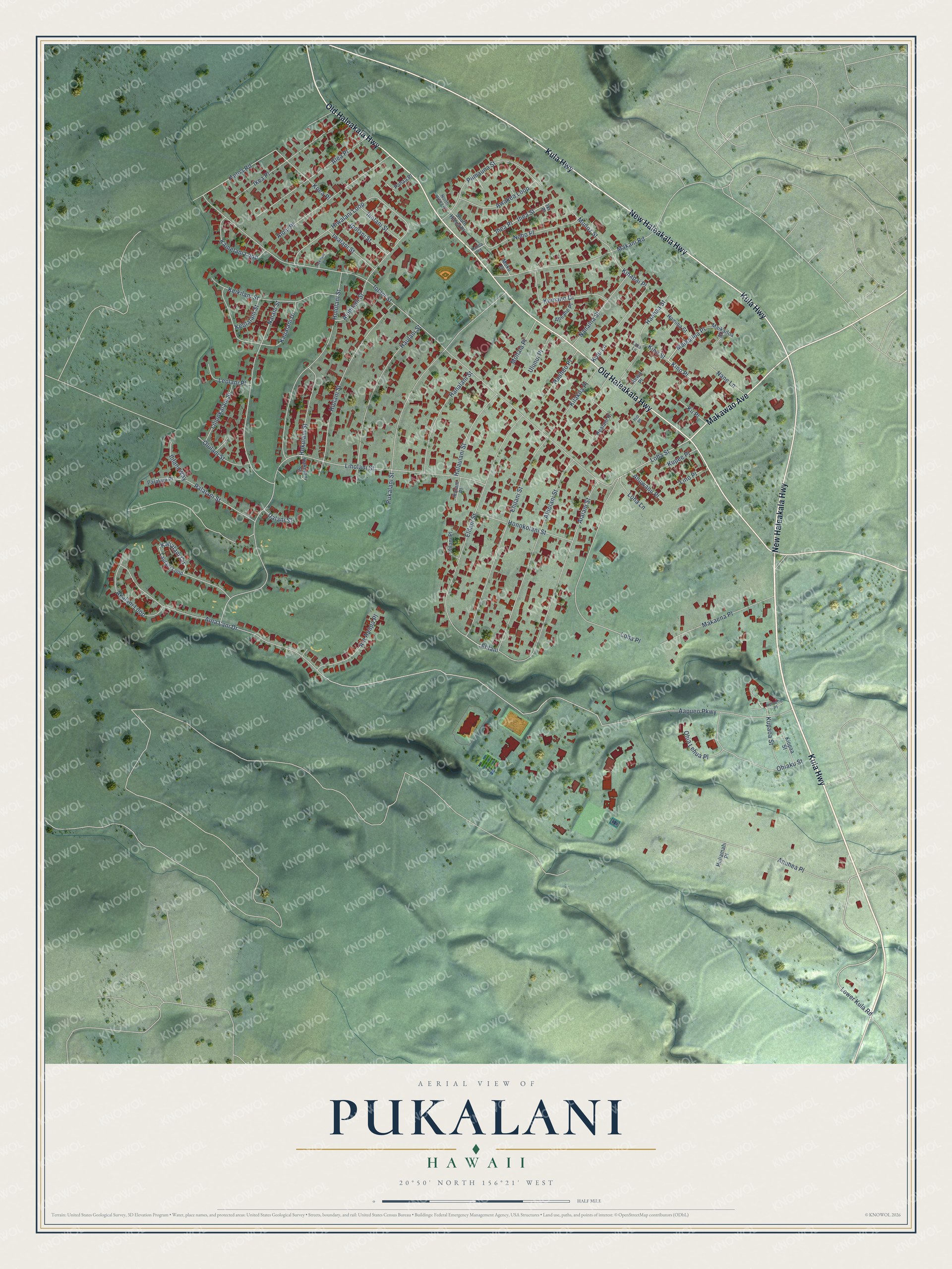
This beautifully detailed map of Pukalani, Hawaii was created in 2026 using aerial imagery combined with modern topographical, census, street and landmark data. It’s a one-of-a-kind view of Pukalani that combines accurate data with a vintage aesthetic. The map shows every building in its true location, many of the roads carry their names, and the shaded topographic relief shows the shape of the land.
Explore an aerial view of Pukalani, Hawaii
On the map you’ll find Elilani, Maikailoa Place, and Kino Place, along with Kula Highway, New Haleakala Highway, Old Haleakala Highway, Makawao Avenue, Lower Kula Road, Loha Street, Iolani Street, Liholani Street, Pukalani Street, and more. If you look closely you can even find your house accurately drawn in its correct location. Zoom in on the preview to look for yours.
Did you know this about Pukalani, Hawaii?
Pukalani is a Hawaiian name that means window of heaven. Clouds gather both above and below the town on the volcano slope locals call Upcountry Maui. Between those layers, Pukalani stays sunny most of the time.
Take a closer look at the Pukalani map
Street names on the Pukalani, Hawaii map
These names are printed on the map of Pukalani, Hawaii.
Streets and roads: Kula Highway, New Haleakala Highway, Old Haleakala Highway, Makawao Avenue, Lower Kula Road, Elilani, Maikailoa Place, Kino Place, Loha Street, Iolani Street, Liholani Street, Pukalani Street.
More street names, A to Z
Aapueo Parkway, Aeloa Road, Aewa Place, Aheahe Place, Aina Lani Drive, Akalani Loop, Ala Apapa Place, Alalani Street, Alea Place, Aliiolani Street, Alohilani Street, Alohi Place, Anuhea Place, Anuwanu Place, Awakea Loop, Ehilani Street, Elilani Street, Haahaa Street, Haaheo Place, Hakulani Street, Halaulani Street, Hamiha Street, Hanalani Street, Haulani Street, Healani Place, Hiolani Street, Hio Place, Hiwalani Loop, Hokulani Street, Hololani Street, Honokolani Street, Hukilani Place, Huliamahi Place, Ihea Place, Ihea Street, Iholani Street, Ikalani Place, Ikea Place, Iki Place, Ililani Way, Ipolani Street, Iwalani Street, Kahoa Road, Kalialani Circle, Kamelani Loop, Kaualani Drive, Keikilani Street, Keolalani Street, Kihapai Place, Kii Place, Kilakila Place, Kilani Place, Kino Street, Kiopaa Street, Koea Place, Kuinehe Place, Kulu Lane, Kumano Drive, Kupaoa Street, Kupee Place, Laka Lane, Laulani Loop, Leolani Place, Liliuokalani Street, Lino Place, Loha Lane, Loha Place, Maikailoa Street, Makaena Place, Makani Road, Mohala Place, Moku Drive, Munoz Street, Nalani Street, Nanaina Street, Nane Lane, Noho Place, North Hiena Place, Ohiaku Street, Ohia Lehua Place, Olulani Street, Pahaa Place, Palalani Place, Palalani Street, Piimauna Street, South Hiena Place, Ualani Street, Ulunui Place.
See the Pukalani, Hawaii map on a wall
The Pukalani map as an 18 x 24 inch print in a black frame.

This beautifully detailed map of Pukalani makes an attractive addition to your office, library, or den, and it can even be used to teach children the geography and history of the area. It also makes a great gift for anyone with Pukalani roots. When you’re done exploring, click here to get your copy of the Pukalani map.