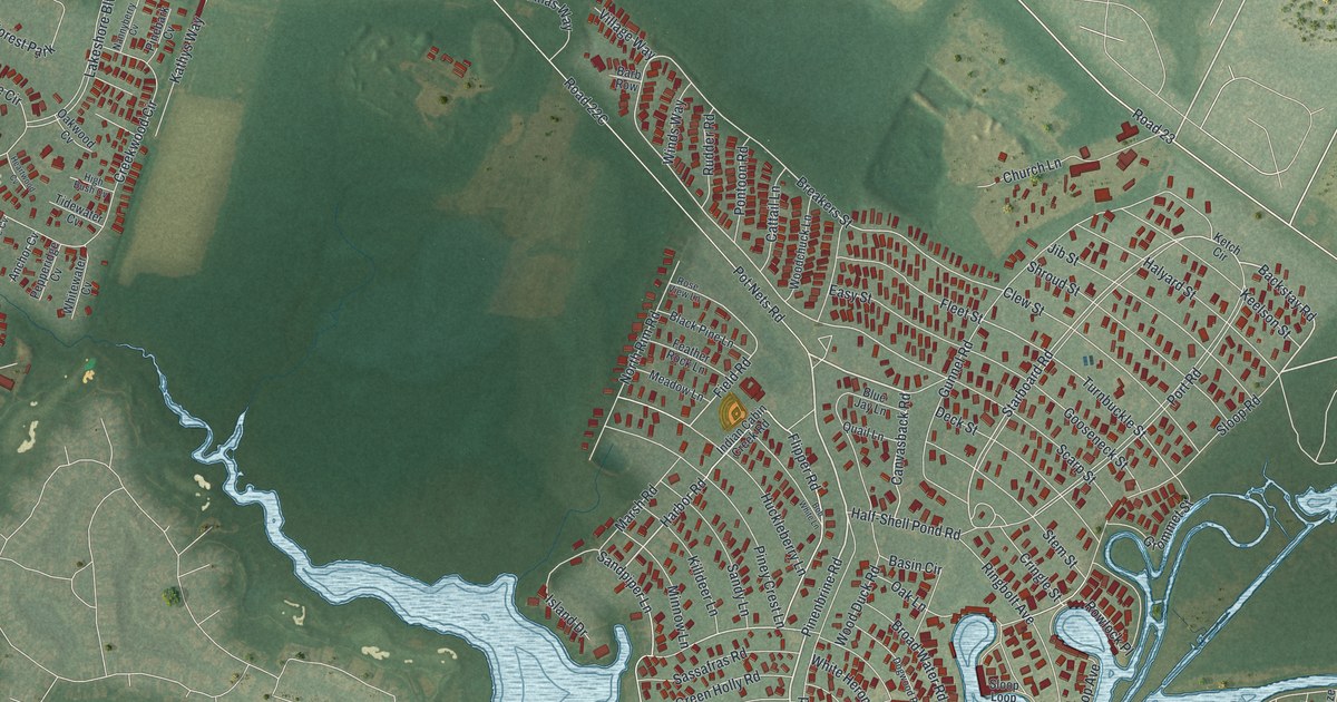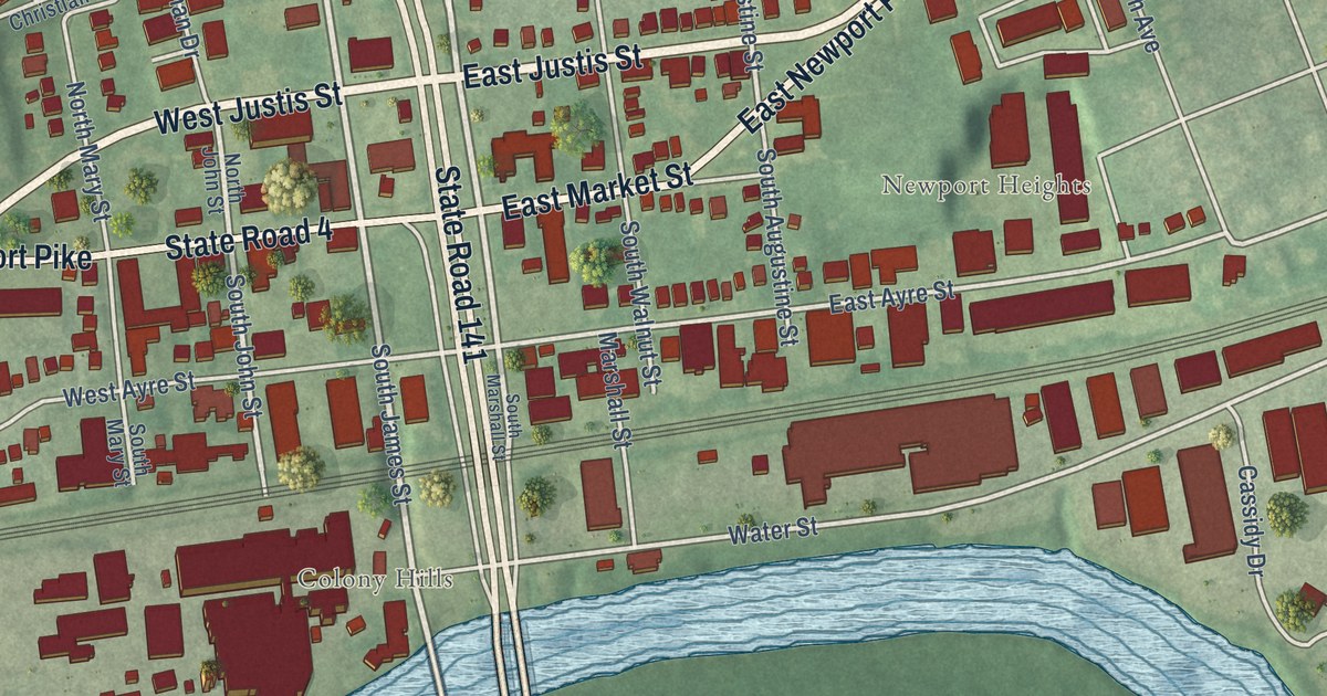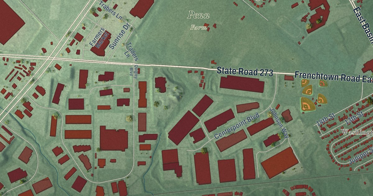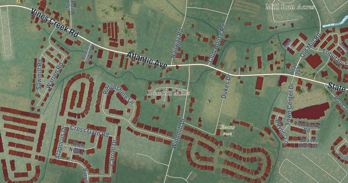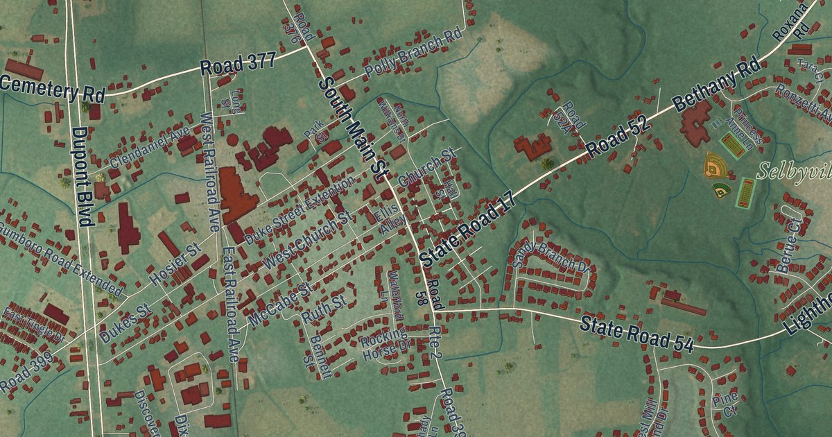
This beautifully detailed map of Selbyville, Delaware was created in 2026 using aerial imagery combined with modern topographical, census, street and landmark data. It’s a one-of-a-kind view of Selbyville that combines accurate data with a vintage aesthetic. The map shows every building in its true location, many of the roads carry their names, and the shaded topographic relief shows the shape of the land.
Explore an aerial view of Selbyville, Delaware
On the map you’ll find Downtown, Selbyville Middle School, Fenwick Estates, Smithfield Acres, Road 52, Road 58, and Road 377, along with State Road 17, Cemetery Road, South Main Street, State Road 54, Dupont Boulevard, and more. If you look closely you can even find your house accurately drawn in its correct location. Zoom in on the preview to look for yours.
Did you know this about Selbyville, Delaware?
From the Delaware Public Archives: "Some time thereafter the congregation constructed their first church at a location on the north side of present-day Selbyville."
Take a closer look at the Selbyville map
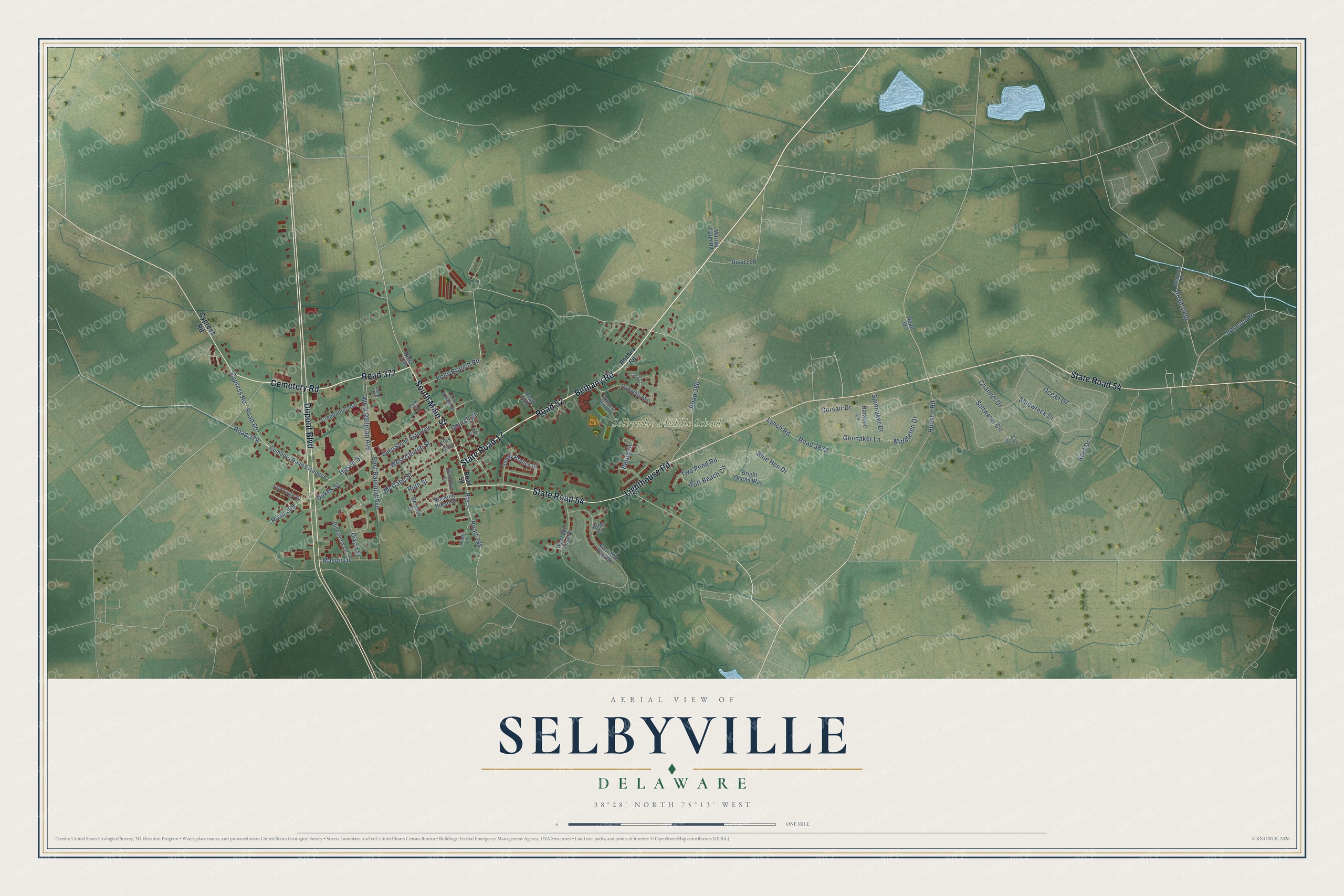
Street and place names on the Selbyville, Delaware map
These names are printed on the map of Selbyville, Delaware.
Places: Selbyville Middle School.
Streets and roads: Road 52, State Road 17, South Main Street, Cemetery Road, Road 377, State Road 54, Dupont Boulevard, Lighthouse Road, Bethany Road, Road 398, Route 2, Cypress Road.
More street names, A to Z
Baratine Lane, Bearhole Road, Bennett Street, Berue Court, Blue Hen Drive, Bright Ocean Way, Channel Drive, Church Street, Clendaniel Avenue, Corsair Drive, Discovery Lane, Dixon Street, Dry Dock Court, Dukes Street, Duke Street Extention, East Mill Pond Drive, East Railroad Avenue, East Tingle Drive, Ellis Alley, Gennaker Lane, Gumboro Road Extended, Hall Street, Hosier Street, Hudson Road, Johnson Road, Long Street, Lynch Road, Mason Drive, McCabe Street, Middleton Drive, Murray Farm Road, North Williams Street, Ocean Drive, Park Street, Pine Court, Polly Branch Road, Princess Anne Lane, Reef Drive, Road 58, Road 60, Road 376, Road 379, Road 386, Road 387, Road 399, Rocking Horse Drive, Ronzetti Avenue, Roxana Road, Ruth Street, Saltwater Circle, Sandy Branch Drive, Shady Lane, Shipwreck Drive, Soft Beach Circle, Spinnaker Drive, Tara Court, Two Pond Road, Waterford Lane, West Church Street, West Mill Pond Drive, West Railroad Avenue.
See the Selbyville, Delaware map on a wall
The Selbyville map as an 18 x 24 inch print in a black frame.

This beautifully detailed map of Selbyville makes an attractive addition to your office, library, or den, and it can even be used to teach children the geography and history of the area. It also makes a great gift for anyone with Selbyville roots. When you’re done exploring, click here to get your copy of the Selbyville map.