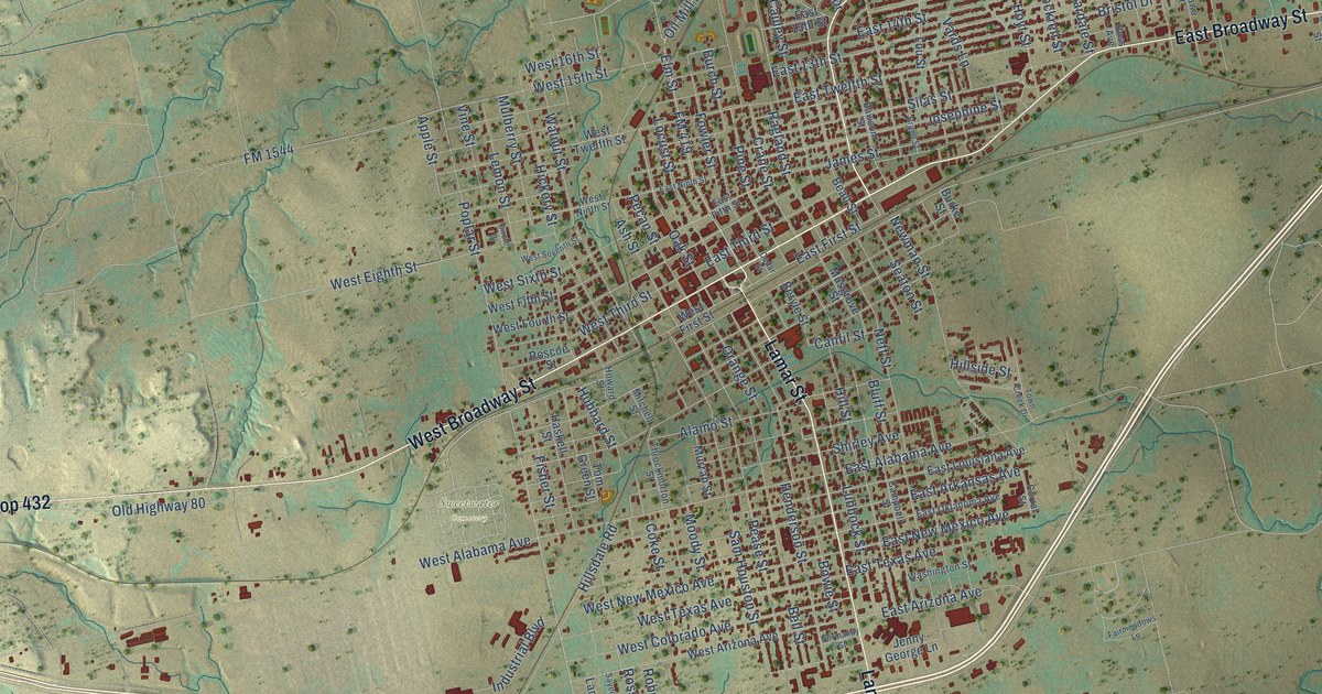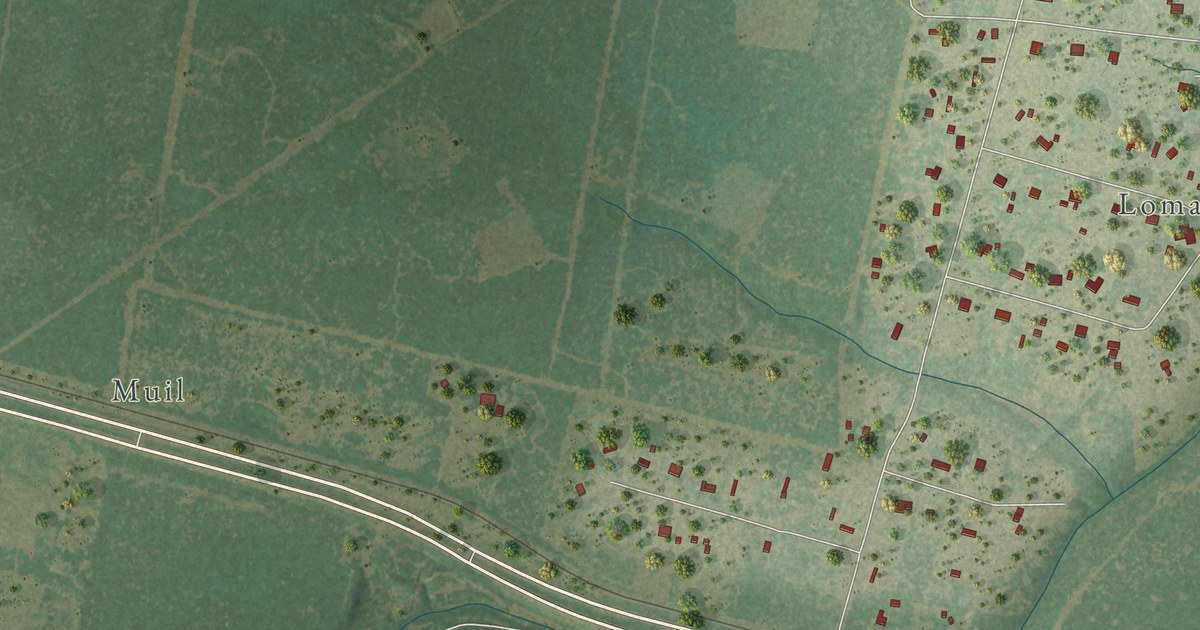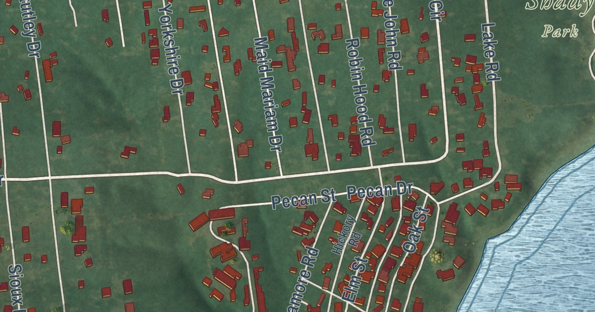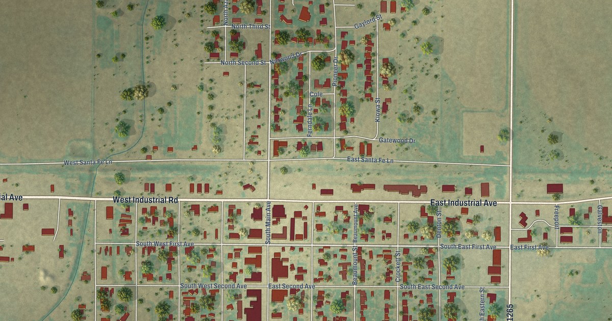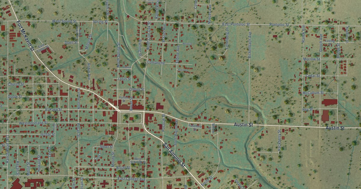
This beautifully detailed map of Mason, Texas was created in 2026 using aerial imagery combined with modern topographical, census, street and landmark data. It’s a one-of-a-kind view of Mason that combines accurate data with a vintage aesthetic. The map shows every building in its true location, many of the roads carry their names, and the shaded topographic relief shows the shape of the land.
Explore an aerial view of Mason, Texas
On the map you’ll find San Antonio Street, Fort McKavitt Street, Austin Street, Pontotoc Street, East Pontotoc Street, Spruce Street, Spring Street, West Spring Street, North Spring Street, Millard Street, South Pecan Street, East Rainey Street, and more. If you look closely you can even find your house accurately drawn in its correct location. Zoom in on the preview to look for yours.
Did you know this piece of Mason, Texas history?
From the Handbook of Texas: "Public utilities were slow to develop in Mason, but the first electric light plant was in operation by 1898, providing limited services, and the West Texas Utilities Company began providing electricity in 1925."
Take a closer look at the Mason map
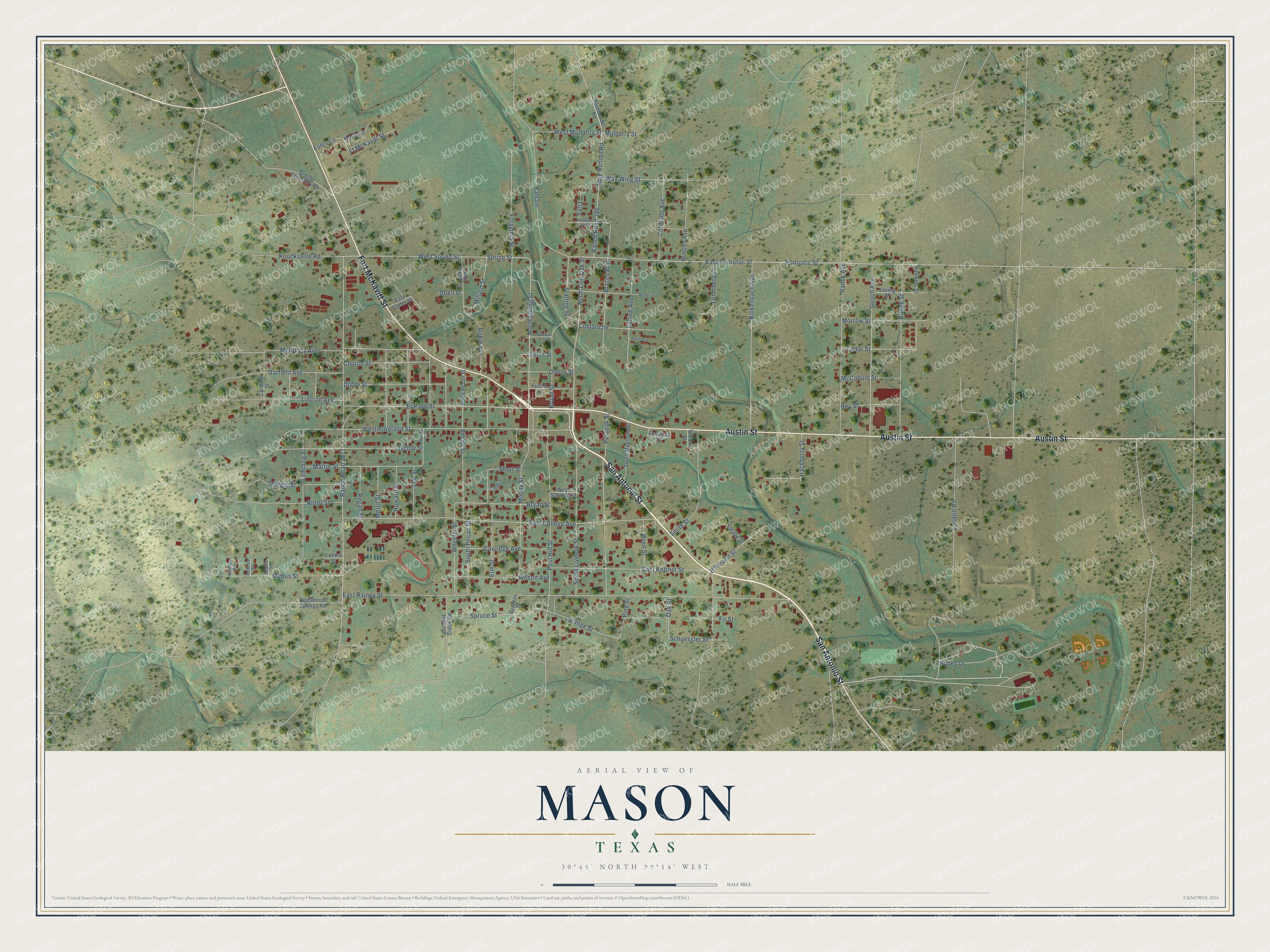
Street names on the Mason, Texas map
These names are printed on the map of Mason, Texas.
Streets and roads: San Antonio Street, Fort McKavitt Street, Austin Street, Pontotoc Street, East Pontotoc Street, Spruce Street, Spring Street, West Spring Street, North Spring Street, Millard Street, South Pecan Street, East Rainey Street.
More street names, A to Z
Balsam, Bickenbach Avenue, Bluebird Street, Blue Bonnet Road, Bluebonnet Road, Brazos Avenue, Bridge Street, Broad Street, Bryan Street, Cardinal Street, Cedar Street, Centennial Springs Road, Church Street, Collins Street, Colorado Avenue, Comanche, Coolidge Avenue, Creek Street, Crosby Cemetery Road, Cypress Street, Doell Street, Doole Street, East Carter Street, East College Avenue, East Kettner Street, Elm Street, El Paso Street, Estes Lane, Fir Street, Forsythia Street, Ft McKavitt Street, Fulton Street, Fuschsia Street, Garfield Avenue, Gooch Avenue, Hackberry Street, Hawkins Street, Herman Street, Hey Street, Hofmann Street, Hooten Street, Howard Street, Ischar Street, Koch Lane, Koocksville Road, Landfill Road, Lee Street, Lehmberg Lane, Leifeste Road, Lemburg Street, Lincoln Avenue, Lotus Street, Loving Street, Martin Street, McCollum Street, McKinley Avenue, Meadow Lark Street, Mebus Street, Merril Street, Mesquite, Moody Street, Morrow Street, Mulberry Street, North Live Oak Street, North Pecan Street, North Robin Avenue, Nueces Avenue, Oak Street, Old Mill Creek Road, Olmos Street, Orange Street, Pecan Street, Pine Street, Post Hill Street, Postoak Street, Ranch Road 386, Ranch Road 1871, Ranck Avenue, Regan Street, Ritter Street, Robin Avenue, Robinson, Rodeo Drive, Sabine Avenue, Sarla, Schuessler Street, Short Street, Smith Street, South Liveoak Street, South Magnolia Street, Starling Street, Steapp Street, Stengel Street, Wax Wing Street, Westmoreland Street, West Mulberry Street, West Schmidt Street, Wheeler Street, Whitney Road, Willow Street, Wilson Avenue, Wren Street.
See the Mason, Texas map on a wall
The Mason map as an 18 x 24 inch print in a black frame.

This beautifully detailed map of Mason makes an attractive addition to your office, library, or den, and it can even be used to teach children the geography and history of the area. It also makes a great gift for someone who left Mason and still calls it home. When you’re done exploring, click here to get your copy of the Mason map.