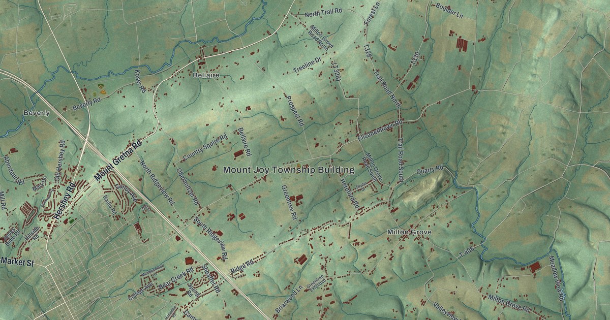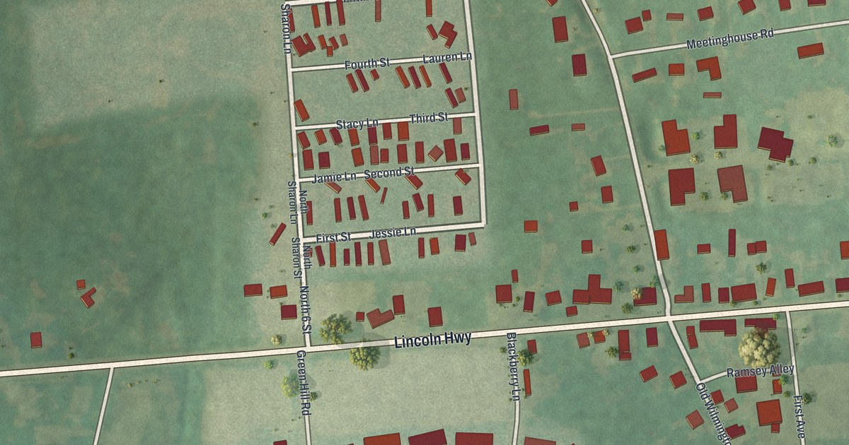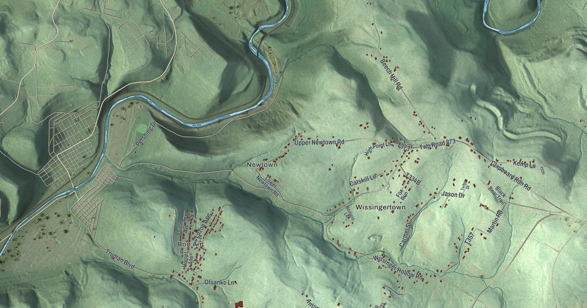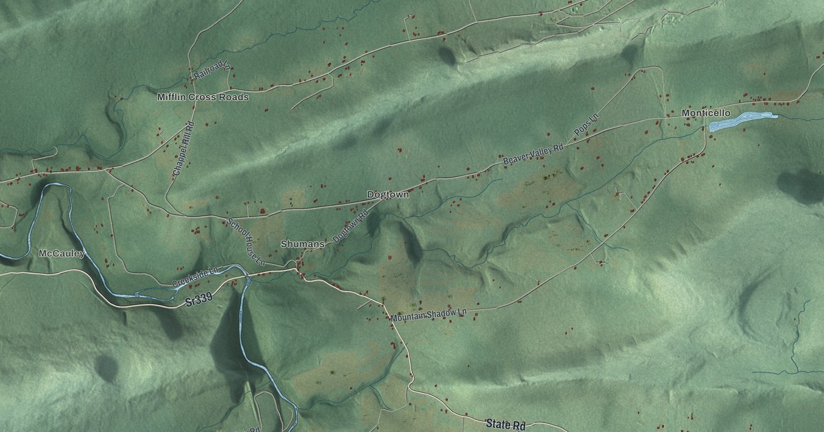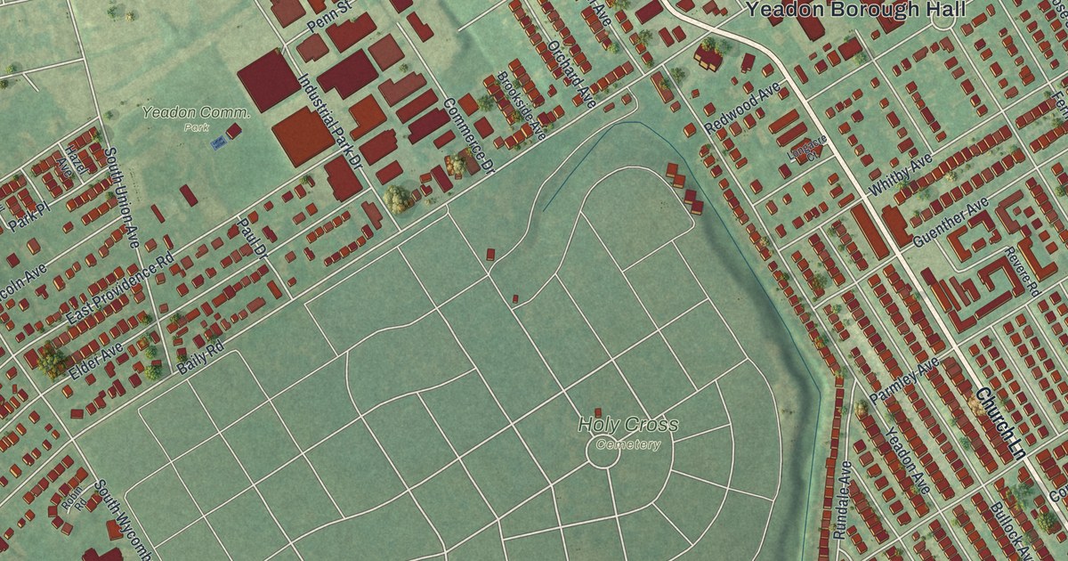
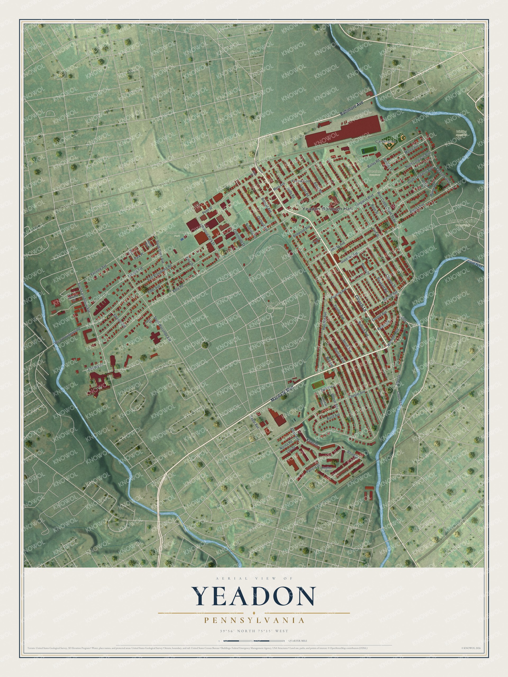
This beautifully detailed map of Yeadon, Pennsylvania was created in 2026 using aerial imagery combined with modern topographical, census, street and landmark data. It’s a one-of-a-kind view of Yeadon that combines accurate data with a vintage aesthetic. The map shows every building in its true location, many of the roads carry their names, and the shaded topographic relief shows the shape of the land.
Explore an aerial view of Yeadon, Pennsylvania
On the map you’ll find Yeadon Borough Hall, Holy Cross Cemetery, Mount Moriah Cemetery, Whitby Meadows, Graceland Cemetery, Cardington, Fernwood, and 65th, along with Church Lane, Macdade Boulevard, Baltimore Avenue, South Lansdowne Avenue, and more. If you look closely you can even find your house accurately drawn in its correct location. Zoom in on the preview to look for yours.
Did you know this piece of Yeadon, Pennsylvania history?
Yeadon took its name from Yeadon Manor, which was named for Yeadon in West Yorkshire, England. After World War II, a large Black middle-class community grew in the borough. In 1959 its Nile Swim Club became the first swim club in the nation owned and run by African Americans.
Take a closer look at the Yeadon map
Street and place names on the Yeadon, Pennsylvania map
These names are printed on the map of Yeadon, Pennsylvania.
Places: Yeadon Borough Hall, Holy Cross Cemetery, Mount Moriah Cemetery, Yeadon Comm. Park, Whitby Meadows, Graceland Cemetery, Cardington and Fernwood.
Streets and roads: Church Lane, Macdade Boulevard, Baltimore Avenue, 65th, South Lansdowne Avenue, Chester Avenue, West Cobbs Creek Parkway, Cedar Avenue, Baily Road, Bailey Road, Alfred Drive, Penn Street.
More street names, A to Z
Alfred Avenue, Allen Drive, Angora Avenue, Arbor Road, Baird Avenue, Bell Avenue, Bonsall Avenue, Brookside Avenue, Bullock Avenue, Callahan Avenue, Church, Cobbs Creek Parkway, Commerce Drive, Connell Avenue, Cypress Street, Darnell Avenue, Duff Avenue, Duncan Avenue, East Providence Road, Elberon Avenue, Elder Avenue, Fairview Avenue, Fern Street, First Street, Guenther Avenue, Hazel Avenue, Heather Circle, Herford Place, Hillview Circle, Holly Road, Industrial Park Drive, Karen Drive, Laurel Road, Lincoln Avenue, Longacre Boulevard, Longacre Court, Lori Drive, Manor Road, Moore Avenue, Myra Avenue, Norma Road, North Longacre Boulevard, Orchard Avenue, Park Place, Parkview Boulevard, Parmley Avenue, Patricia Drive, Paul Drive, Pleasant Road, Rader Avenue, Redwood Avenue, Revere Road, Robin Road, Rockland Avenue, Rose Street, Rundale Avenue, Ruskin Lane, Serrill Avenue, South Longacre Boulevard, South Union Avenue, South Wycombe Avenue, Stetser Avenue, Walnut Avenue, West Providence Road, Whitby Avenue, Yeadon Avenue.
See the Yeadon, Pennsylvania map on a wall
The Yeadon map as an 18 x 24 inch print in a black frame.

This beautifully detailed map of Yeadon makes an attractive addition to your office, library, or den, and it can even be used to teach children the geography and history of the area. It also makes a great gift for anyone who grew up in Yeadon or moved away. When you’re done exploring, click here to get your copy of the Yeadon map.