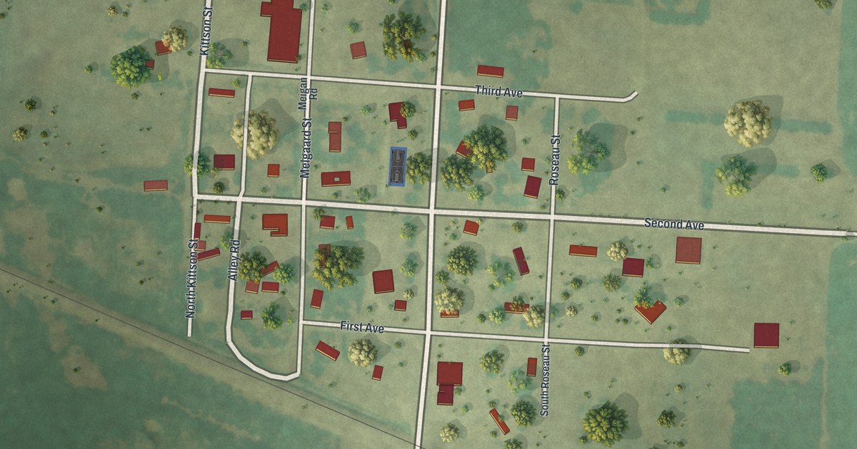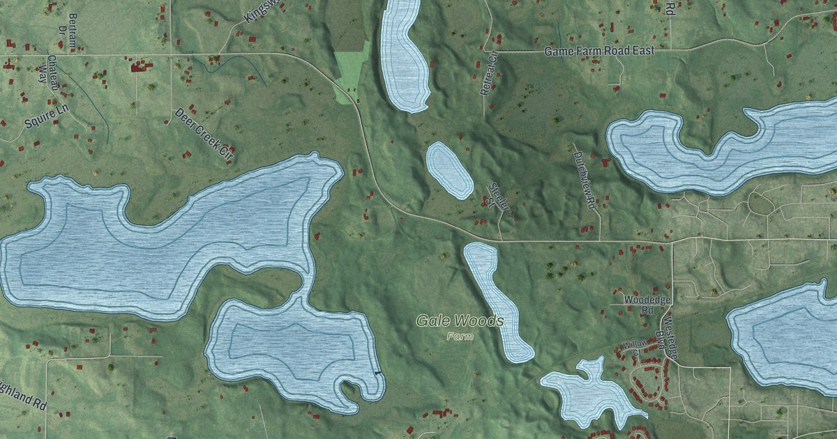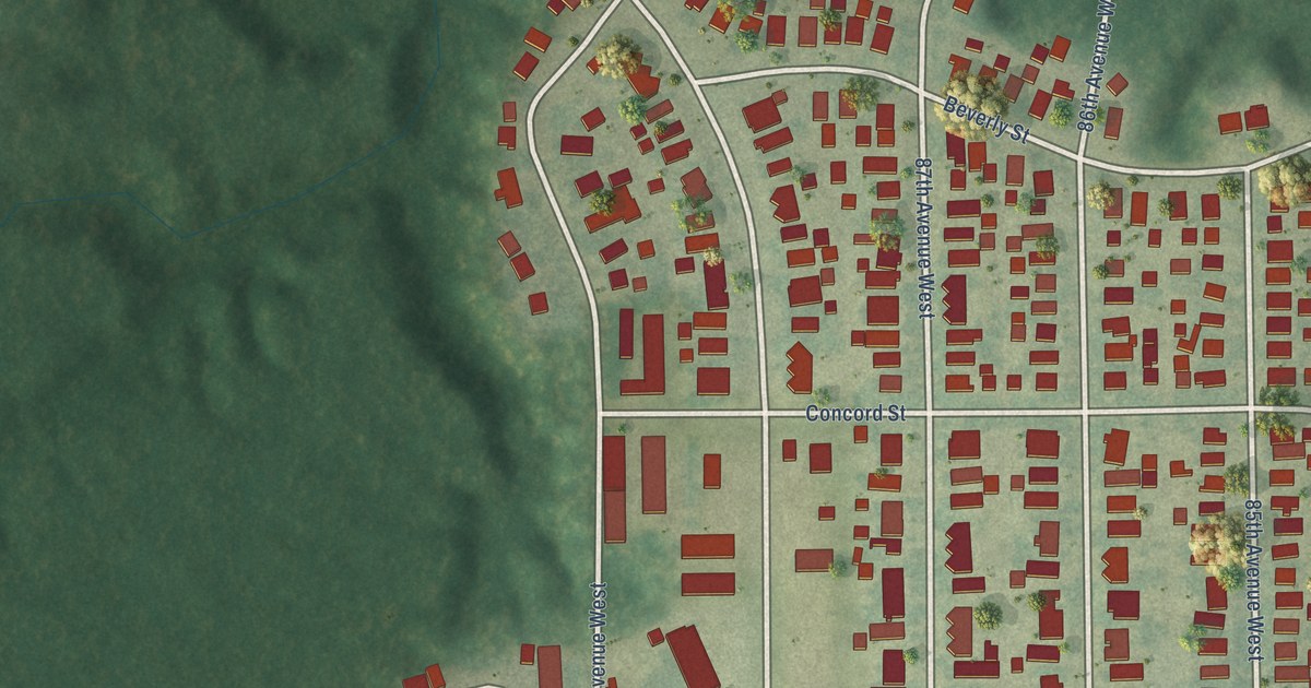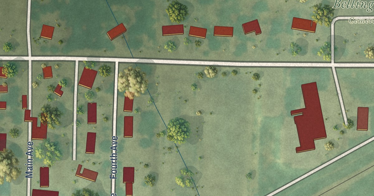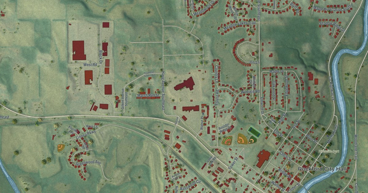
This beautifully detailed map of Rockford, Minnesota was created in 2026 using aerial imagery combined with modern topographical, census, street and landmark data. It’s a one-of-a-kind view of Rockford that combines accurate data with a vintage aesthetic. The map shows every building in its true location, many of the roads carry their names, and the shaded topographic relief shows the shape of the land.
Explore an aerial view of Rockford, Minnesota
On the map you’ll find Rockford City Hall, Rockford Riverview Estates, Riverside Park, and Marina Vw, along with Mechanic Street, County Highway 19, Jansen Avenue Southeast, Lieder Street, Woodland Trail, Highview Road, Bridge Street, Hamlin Avenue Southeast, and more. If you look closely you can even find your house accurately drawn in its correct location. Zoom in on the preview to look for yours.
Did you know this piece of Rockford, Minnesota history?
From Warren Upham’s 1920 Minnesota Geographic Names: "RocKFORD township, settled in 1855, organized in 1858, received the name of its village, founded in 1856 at a rocky ford of the Crow river, having its bed strewn with boulders, where a sawmill was built."
Take a closer look at the Rockford map
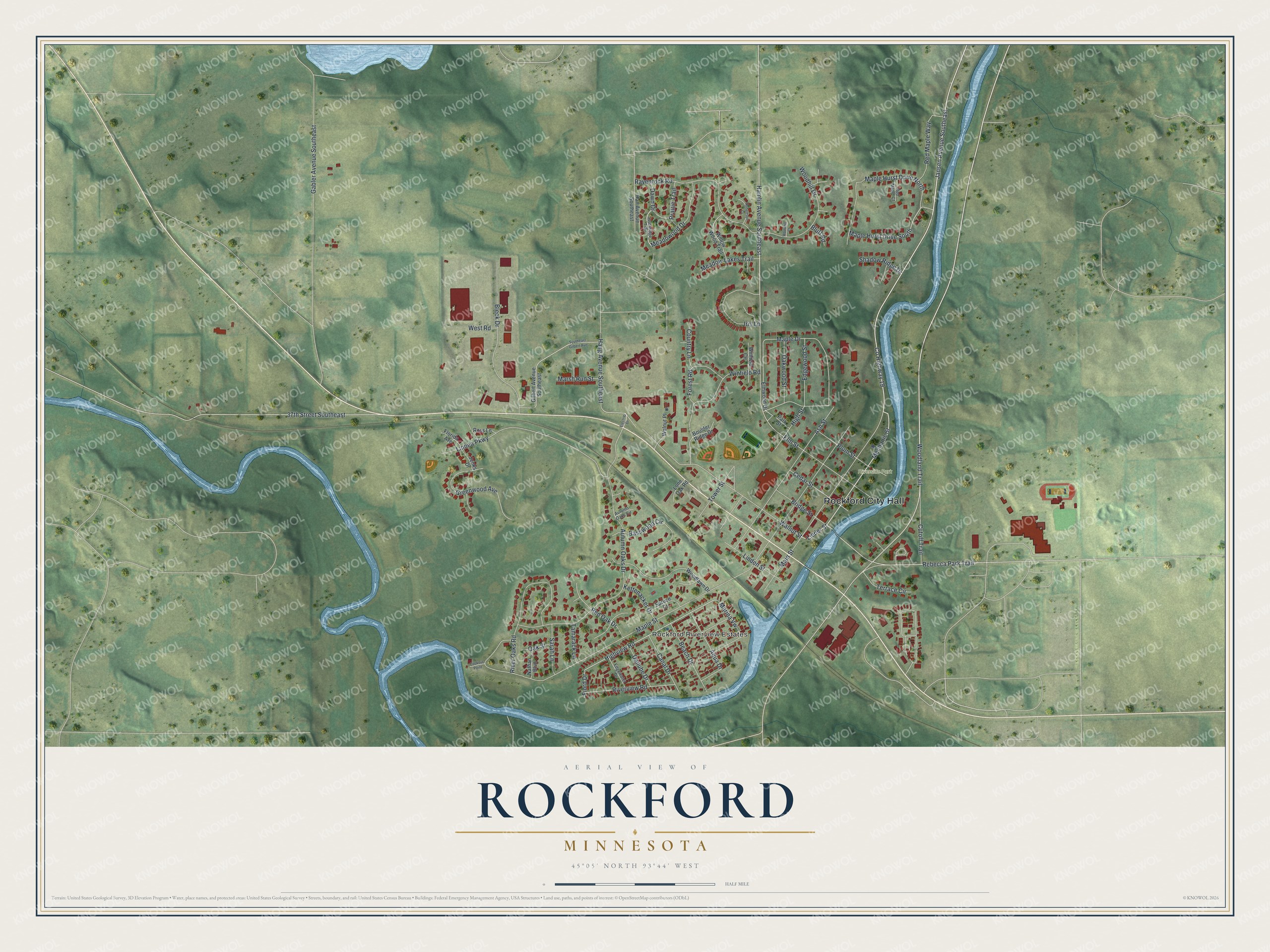
Street and place names on the Rockford, Minnesota map
These names are printed on the map of Rockford, Minnesota.
Places: Rockford City Hall, Rockford Riverview Estates and Riverside Park.
Streets and roads: Mechanic Street, County Highway 19, Jansen Avenue Southeast, Lieder Street, Woodland Trail, Highview Road, Bridge Street, Maple Hurst Drive South, Marina Vw, Hamlin Avenue Southeast, Maple Street, Rebecca Park Trail.
More street names, A to Z
37th Street Southeast, Aqua Drive, Ash Street, Autumn Oaks Circle, Autumn Oaks Drive, Basswood Circle, Beach Drive, Bleck Drive, Bluff Road, Boulder Ridge Drive, Canal Drive, Cedar Street, Country Lane, Cutoff Trail, Danube Drive, Dawn Drive, Edgewater Drive, Edgewood Street, Electric Drive, Elm Street, Elmwood Drive, Fiord Drive, Florida Avenue, Forest Road, Gabler Avenue Southeast, Gilbert Avenue Southeast, Greenwood Avenue, Hall Avenue Southeast, Haug Avenue Southeast, High Street, Iris Lane, Jenks Drive, Kettenacker Drive, Linden Street, Linnea Parkway, Lone Oak Road, Lookout Point, Main Street, Maple Drive, Maple Hurst Drive North, Marsh Run Street, Meadow Lakes Trail, Meadowood Drive, Nathan Boulevard, Oak Street, Oakwood Street, Park Street, Plum Street, Prairie Trail, Ravenrock Road, Red Maple Court, Red Maple Way, Red Oak Drive, River Oaks Road, Riverview Road, Robertson Court, Ross Lane, Sarah Lane, Shadow Ridge Drive, Southeast Gilbert Avenue, Southridge Trail, Spruce Court, Tamarack Lane, Terrace Circle, Tower Street, Walnut Place, Walnut Street, West Road, Willow Wood Trail, Winfield Circle, Winfield Road, Woodhill Court, Woodhill Drive, Woodlawn Drive.
See the Rockford, Minnesota map on a wall
The Rockford map as an 18 x 24 inch print in a black frame.

This beautifully detailed map of Rockford makes an attractive addition to your office, library, or den, and it can even be used to teach children the geography and history of the area. It also makes a great gift for anyone who grew up in Rockford or moved away. When you’re done exploring, click here to get your copy of the Rockford map.