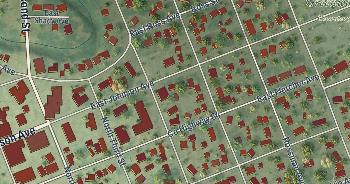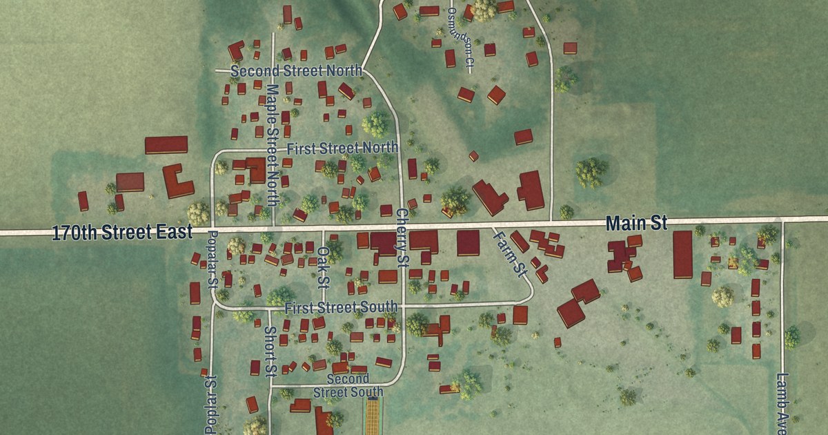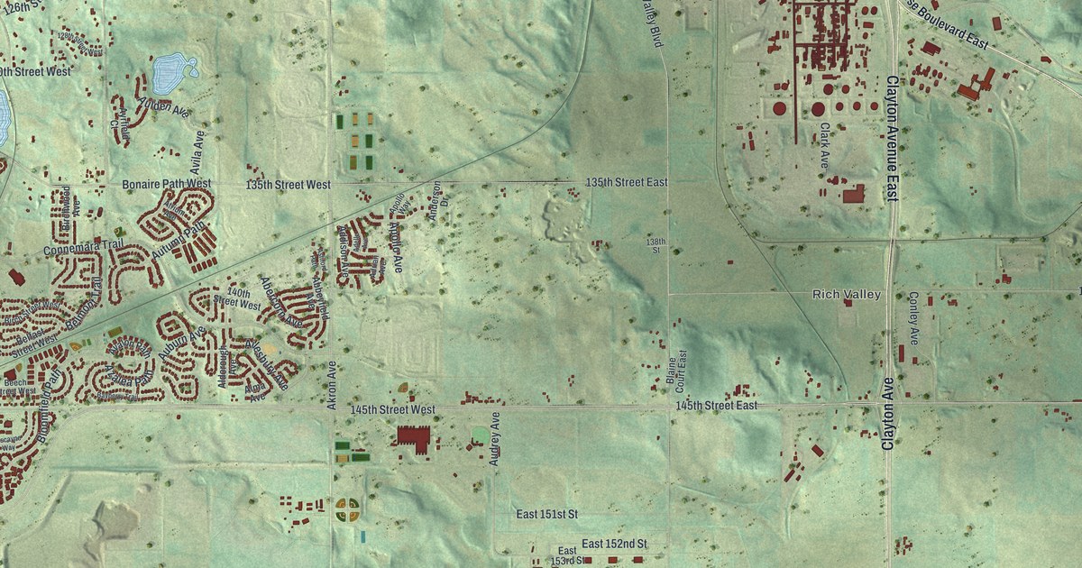
This beautifully detailed map of Rosemount, Minnesota was created in 2026 using aerial imagery combined with modern topographical, census, street and landmark data. It’s a one-of-a-kind view of Rosemount that combines accurate data with a vintage aesthetic. The map shows every building in its true location, many of the roads carry their names, and the shaded topographic relief shows the shape of the land.
Explore an aerial view of Rosemount, Minnesota
On the map you’ll find Rich Valley, Carroll’s Woods, Innisfree Park, Spring Lake Islands Wildlife Management Area, Spring Lake Park Reserve, Roseport, and Sedil, along with 145th Street East, Court House Boulevard, Hastings Trail, Clayton Avenue East, and more. If you look closely you can even find your house accurately drawn in its correct location. Zoom in on the preview to look for yours.
Did you know this piece of Rosemount, Minnesota history?
From the History of Dakota County: "The village of Rosemount is located in the center of section 25, township 115, range 19, and was laid out in 1866, by J. A. Case on land owned by Selah Chamberlain, of Cleveland, Ohio."
Take a closer look at the Rosemount map
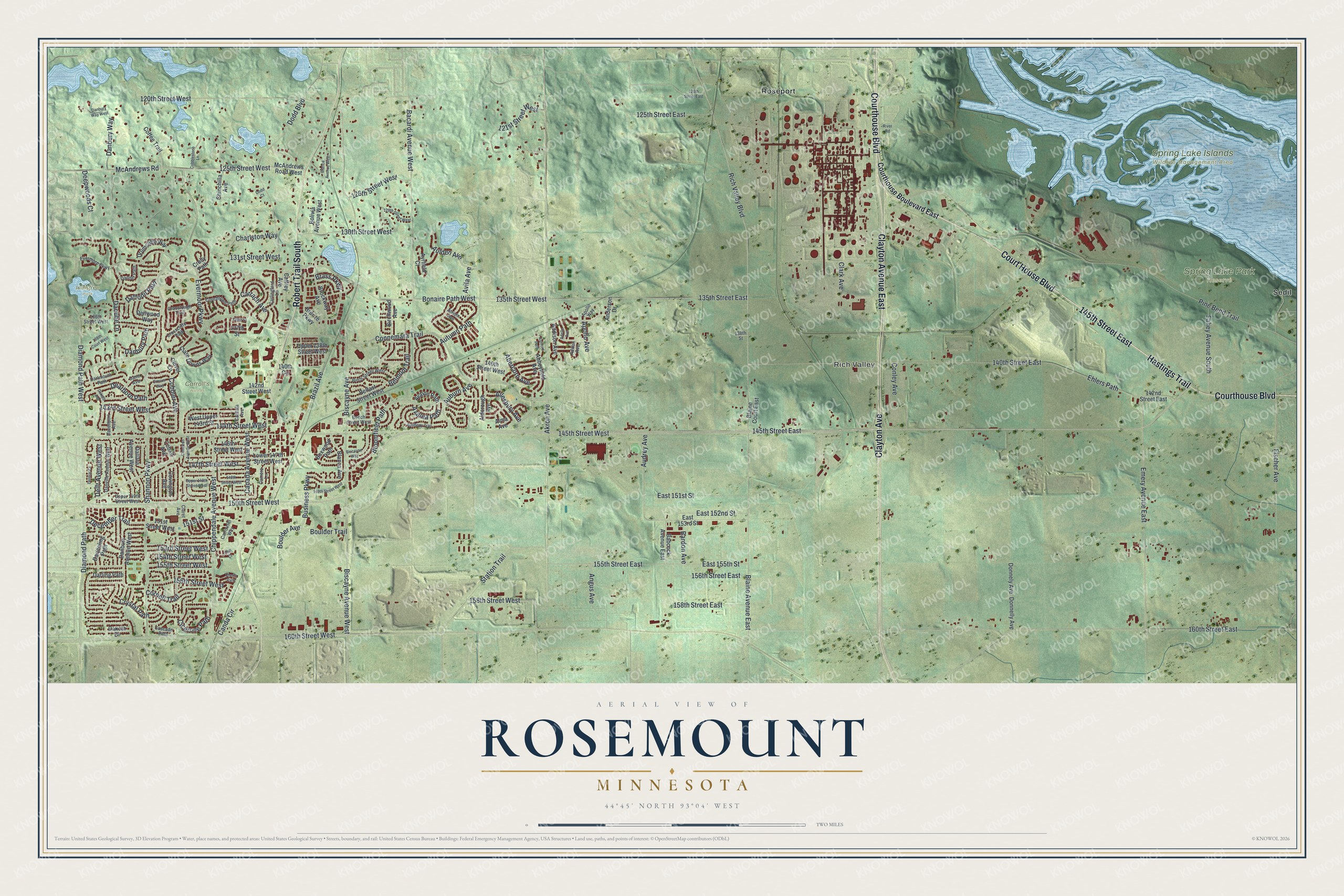
Street and place names on the Rosemount, Minnesota map
These names are printed on the map of Rosemount, Minnesota.
Places: Rich Valley, Carroll's Woods, Innisfree Park, Spring Lake Islands Wildlife Management Area, Spring Lake Park Reserve, Roseport and Sedil.
Streets and roads: 145th Street East, Court House Boulevard, Hastings Trail, Clayton Avenue East, Courthouse Boulevard, Clayton Avenue, Robert Trail South, Brass Parkway, Bonaire Path West, Apollo Avenue, 135th Street East, Bloomfield Path.
More street names, A to Z
120th Street East, 120th Street West, 121st Street West, 125th Street East, 125th Street West, 126th Street West, 128th Street West, 130th Street West, 131st Street West, 135th Street West, 136th Street, 136th Street West, 137th Street, 138th Court West, 138th Street, 140th Circle, 140th Street East, 140th Street West, 142nd Street East, 142nd Street West, 143rd Street West, 144th Street West, 145th Street West, 146th Street West, 147th Street West, 148th Street West, 149th Street West, 150th Street West, 151st Street, 151st Street West, 153rd Street West, 154th Street West, 155th Street East, 155th Street West, 156th Street East, 156th Street West, 158th Street East, 158th Street West, 160th Street East, 160th Street West, Abbeyfield Avenue, Abercorn Avenue, Addison Avenue, Adelle Avenue, Adrian Avenue, Ailesbury Avenue, Akron Avenue, Aldorough Avenue, Alma Avenue, Anderson Drive, Angus Avenue, Apollo Way, Ashford Path, Atrium Avenue, Auburn Avenue, Audrey Avenue, Aulden Avenue, Autumn Path, Avalon Path, Avila Avenue, Ayrfield Court, Azalea Path, Babcock Avenue East, Bacardi Avenue West, Bardon Avenue, Bayberry Trail, Beech Street West, Belfast Street West, Belmont Trail, Birch Street West, Birchwood Avenue, Biscayne Avenue, Biscayne Avenue West, Biscayne Way, Blaine Avenue East, Blaine Court East, Blanca Avenue, Blanca Avenue West, Bolivia Avenue West, Boulder Avenue, Boulder Trail, Boxwood Path, Brazil Avenue, Brockway Avenue, Bronze Parkway, Business Parkway, Caffrey Avenue, Camero Lane, Canada Avenue West, Canda Circle, Cantata Avenue, Carlingford Lane, Carrach Avenue, Carrousel Way, Cascade Path, Charlston Way, Cherry Path, Chili Court, Chinchilla Avenue, Chippendale Avenue West, Cicerone Path, Cimarron Avenue West, Clare Downs Way, Claret Avenue, Clark Avenue, Clover Lane, Cobalt Avenue, Cobbler Avenue, Cobblestone Lane, Coffee Trail, Conley Avenue, Connemara Trail, Cornell Trail, Couchtown Path, Courthouse Boulevard East, Covington Avenue, Crocus Way, Crolly Path, Crosscliffe Path, Crosslough Trail, Crystal Path, Daffodil Path, Dakota Drive, Dallara Avenue West, Danbury Avenue West, Danbury Path, Danbury Way, Danbury Way West, Dane Avenue, Danner Path, Danube Lane, Danville Avenue West, Darjeeling Path, Darling Path, Dartmouth Path, Davenport Avenue, Dearborn Path, December Trail, Deepwoods Court, Dekalb Avenue, Delft Avenue West, Dellwood Way, Delmar Court, Diamond Path, Diamond Path West, Dodd Boulevard, Dodd Court, Donnelly Avenue, Donnely Avenue, Drumcliffe Way, East 151st Street, East 152nd Street, East 153rd Street, East 155th Street, Ehlers Path, Emery Avenue East, Evermoor Parkway, Evermore Parkway, Fahey Avenue South, Fischer Avenue, Lower 147th Street West, McAndrews Road, McAndrews Road West, Pine Bend Trail, Rich Valley Boulevard, River Road, Shannon Parkway, Station Trail, Upper 138th Street West, Upper 148th Street West, Upper 149th Street West, West Upper 143rd Street.
See the Rosemount, Minnesota map on a wall
The Rosemount map as an 18 x 24 inch print in a black frame.

This beautifully detailed map of Rosemount makes an attractive addition to your office, library, or den, and it can even be used to teach children the geography and history of the area. It also makes a great gift for someone who left Rosemount and still calls it home. When you’re done exploring, click here to get your copy of the Rosemount map.