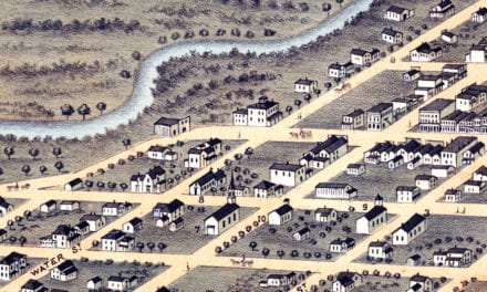
This vintage map of Rochester, Minnesota was created in 1869 by Albert Ruger and J.J. Stoner, prominent 19th century map makers. The map depicts a bird’s eye view of Rochester as it once was, including street names and old landmarks, and is a true piece of Rochester history.
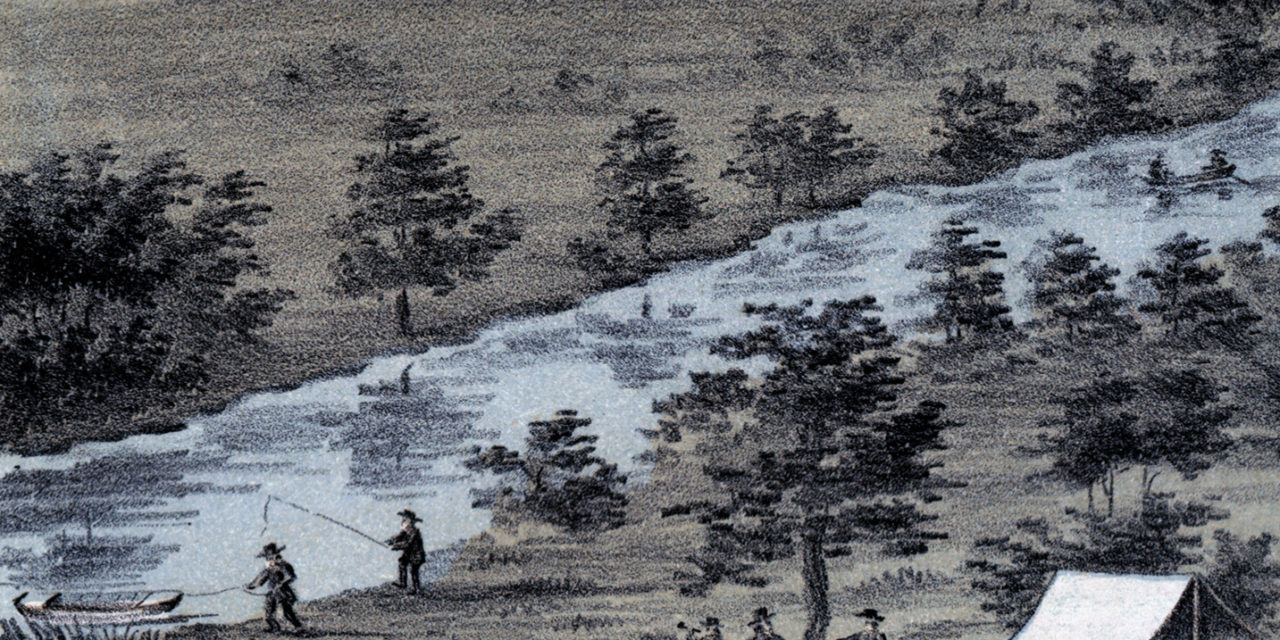
Historic Rochester landmarks on the map include Bear Creek, Lumbro River, Rochester Railroad Depot, Public School, Court House, and Baptist, Congregational, Episcopal, Methodist, German Methodist, Presbyterian, Universalist, and Roman Catholic Churches. Click the image to zoom in.
This historic map of Rochester has been lovingly restored by KNOWOL. Reproductions of the restored map are available in our store, here.
Vintage Map of Rochester, Minnesota from 1869
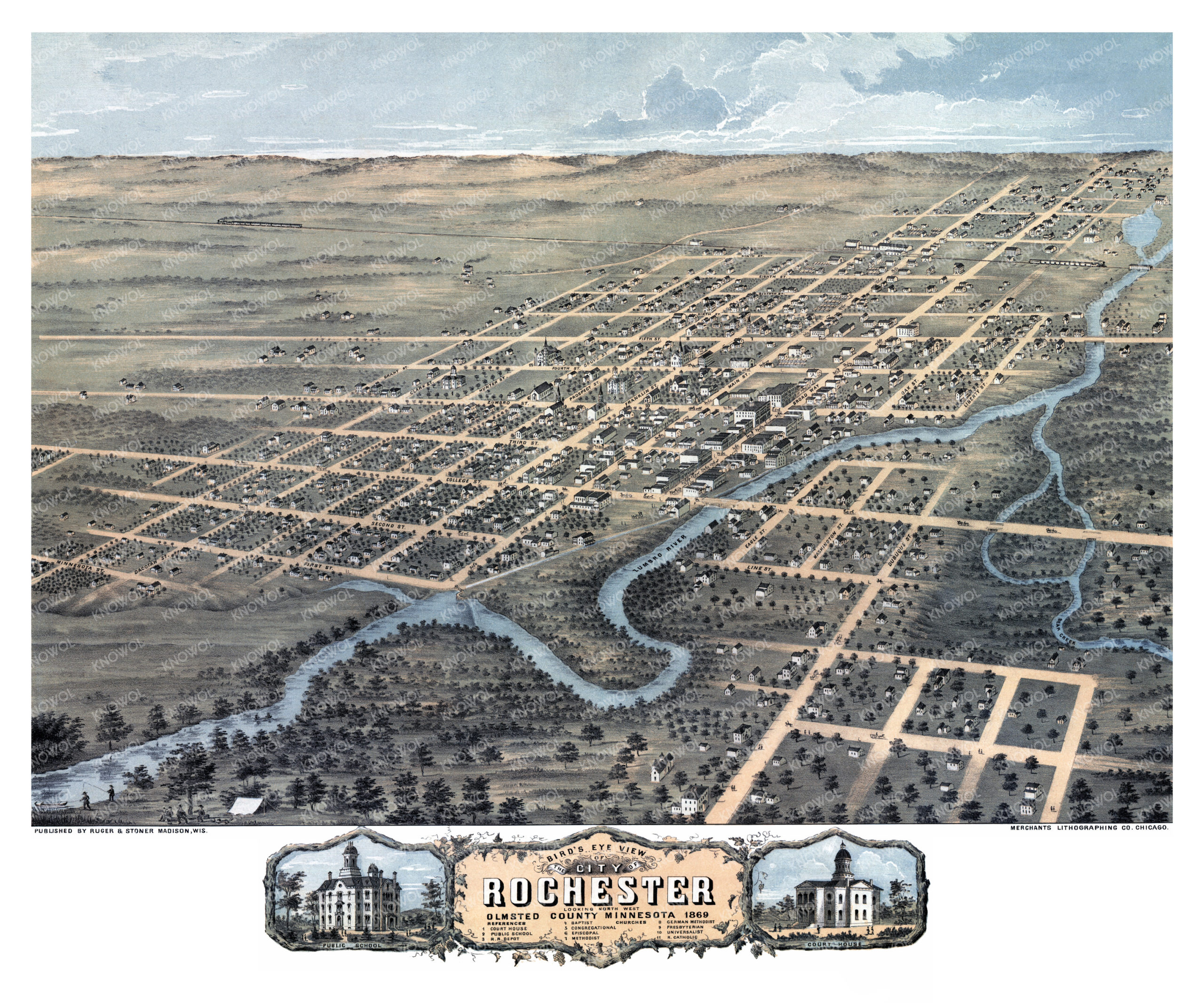
This beautifully restored map of Rochester will make an attractive addition to your office, library, or den and can even be used to teach children the geography and history of the area. When you’re done exploring, click here to get your copy of the restored map.