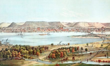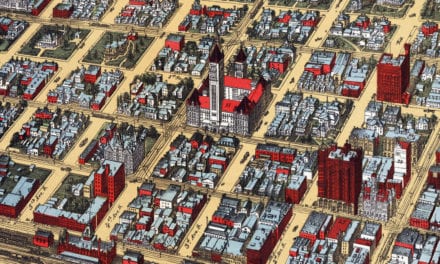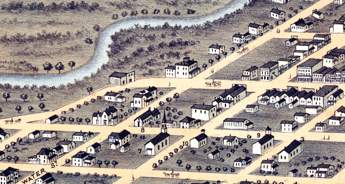
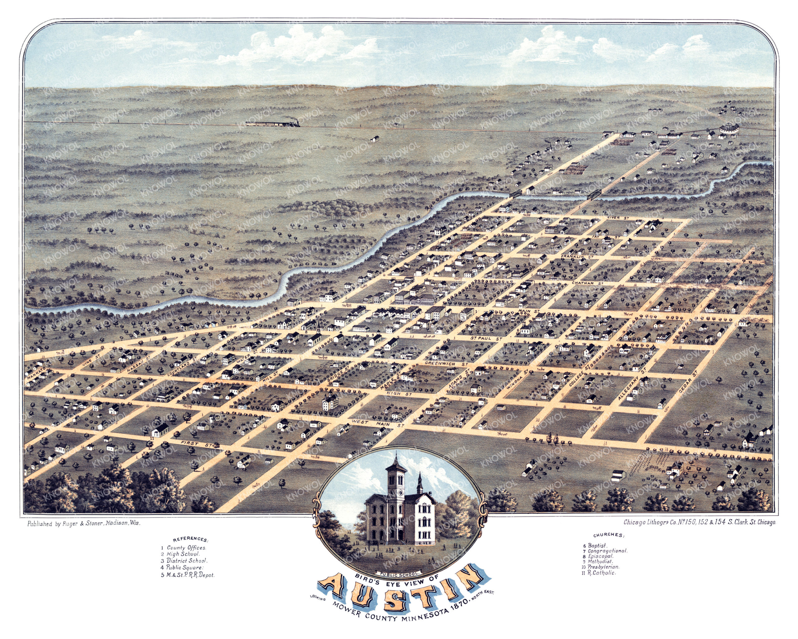
This map of Austin, Minnesota was created in 1870 by Albert Ruger & J.J. Stoner, prominent 19th century map makers. The map shows a bird’s eye view of the area as it once was, including street names and old landmarks.
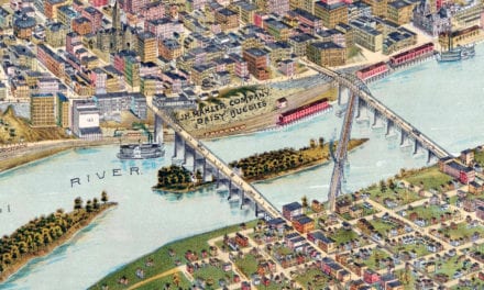
Landmarks on the map include County Offices, Austin High School, District School, Public Square, Milwaukee and St. Paul Railroad Depot, a wide variety of churches, and more. The map shows a view of the town looking North East.
This historic map of Austin was restored by KNOWOL. Reproductions of the restored map are available here.
Historic Old Map of Austin, Minnesota from 1870
This historic map of Austin will make an attractive addition to your office, library, or den and can even be used to teach children the geography and history of the area. When you’re done exploring, click here to get your copy of the restored map.