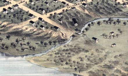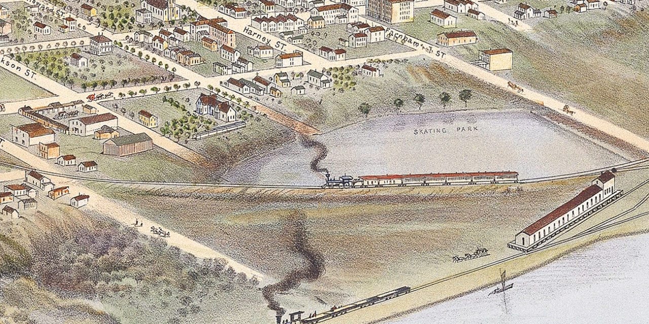
This historic map of Omaha, Nebraska was created in 1868 by Albert Ruger, a prominent 19th century map maker. The map shows a bird’s eye view of the area as it once was, including street names and old landmarks.
Landmarks on the map include the Convent of Mercy, Union Pacific Railroad Depot, U.S. Military Depot, Central Block, Caldwell Block, Missouri River, Turner’s Hall, and more.
This historic map of Omaha was restored by KNOWOL. Reproductions of the restored map are available here.
Historic Old Map of Omaha, Nebraska from 1868
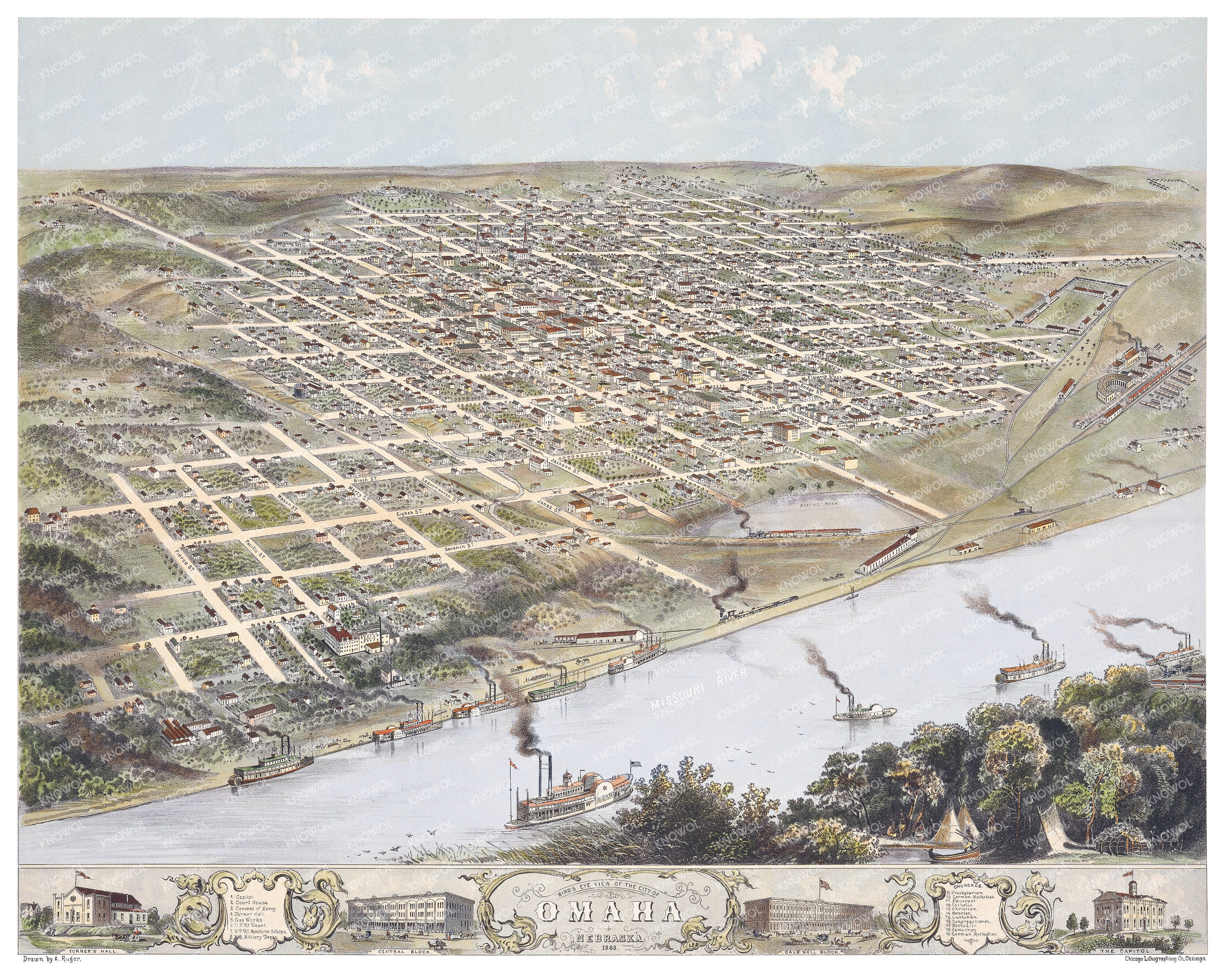
This map of Omaha will make an attractive addition to your office, library, or den and can even be used to teach children the geography and history of the area. When you’re done exploring, click here to get your copy of the restored map.