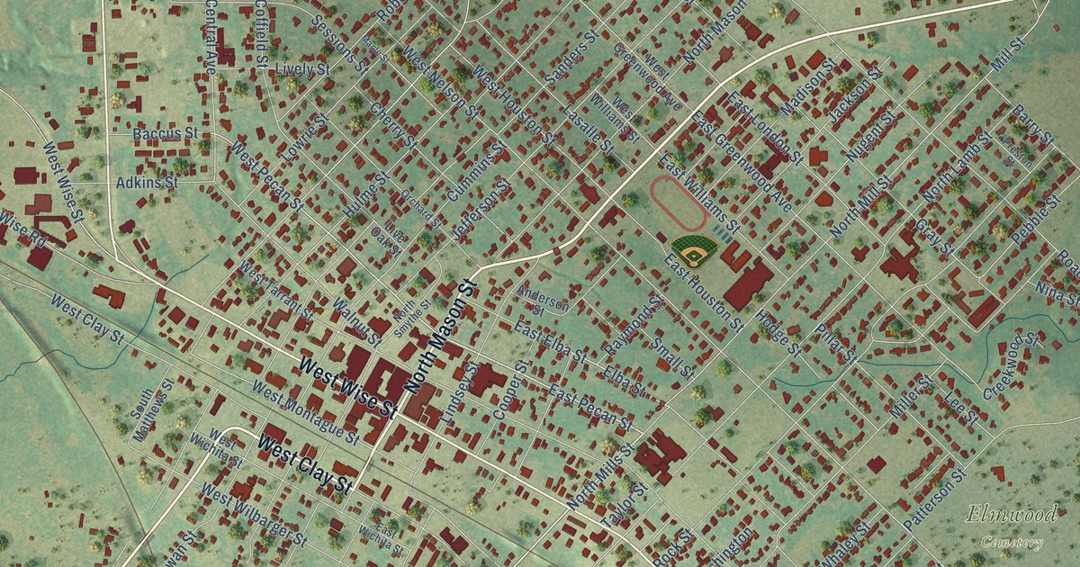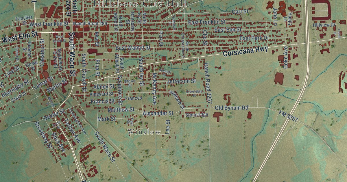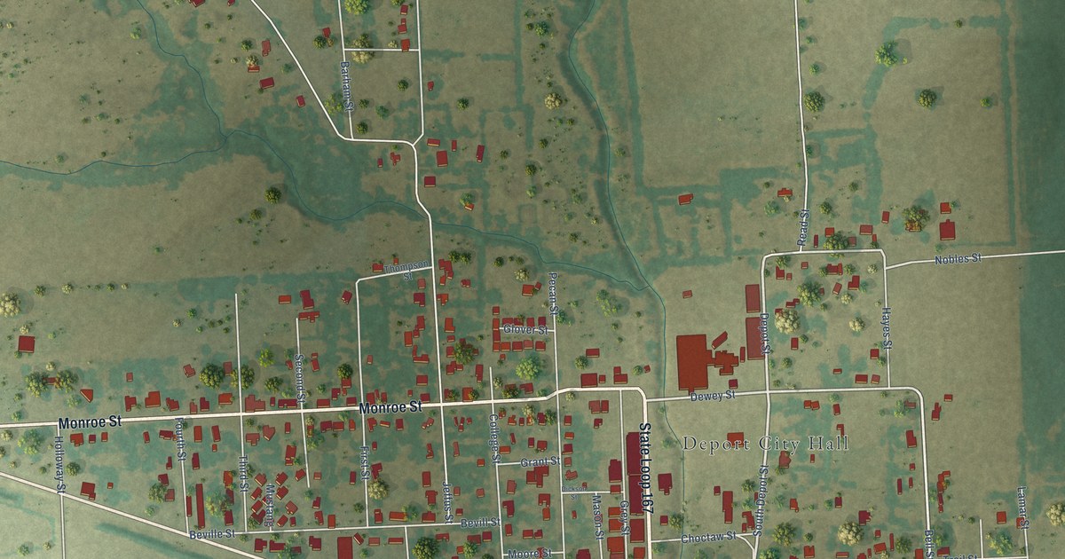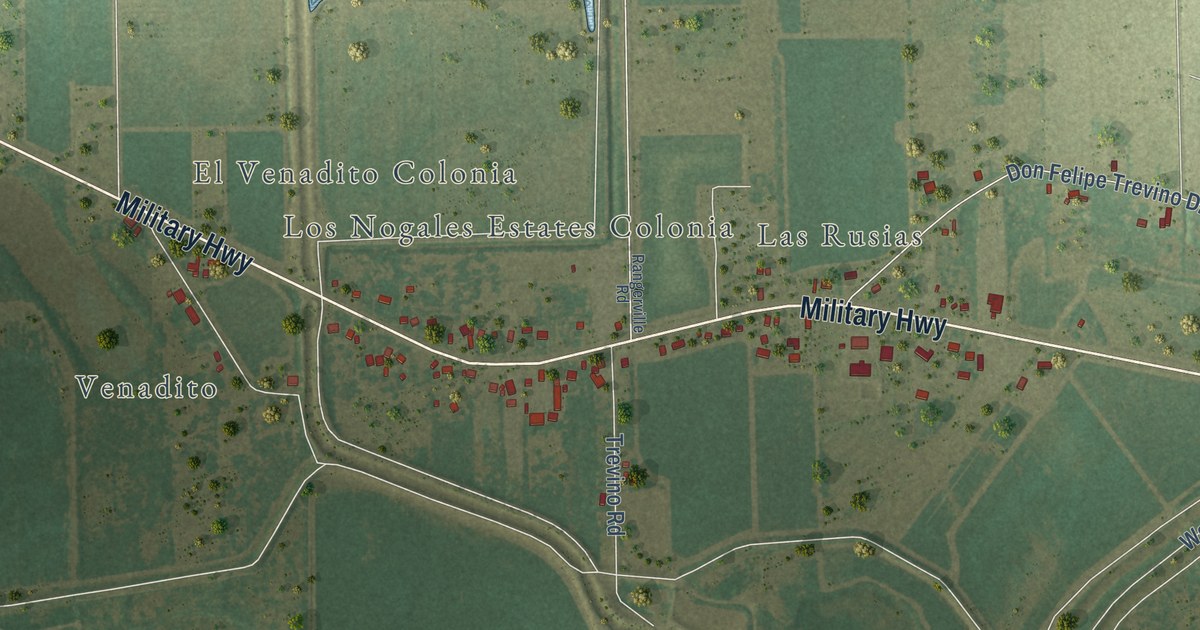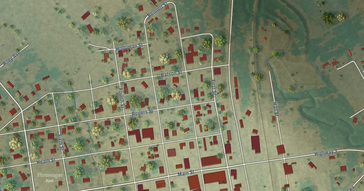
This beautifully detailed map of Normangee, Texas was created in 2026 using aerial imagery combined with modern topographical, census, street and landmark data. It’s a one-of-a-kind view of Normangee that combines accurate data with a vintage aesthetic. The map shows every building in its true location, many of the roads carry their names, and the shaded topographic relief shows the shape of the land.
Explore an aerial view of Normangee, Texas
On the map you’ll find Normangee Park, along with Taft Street, Seventh Street, County Road, Church Street, First Street, FM 3, Bennett Street, County Line Road, Old San Antonio Road, Osr Highway, Main Street, and more. If you look closely you can even find your house accurately drawn in its correct location. Zoom in on the preview to look for yours.
Did you know this piece of Normangee, Texas history?
From the Handbook of Texas: "The town incorporated in 1913, including land in Madison County within the town limits, and in 1914 the community had a population of 1,100, two cotton gins, two banks, a machine shop, hotels, public schools, telephone service, Methodist and Baptist churches, and the weekly Star."
Take a closer look at the Normangee map
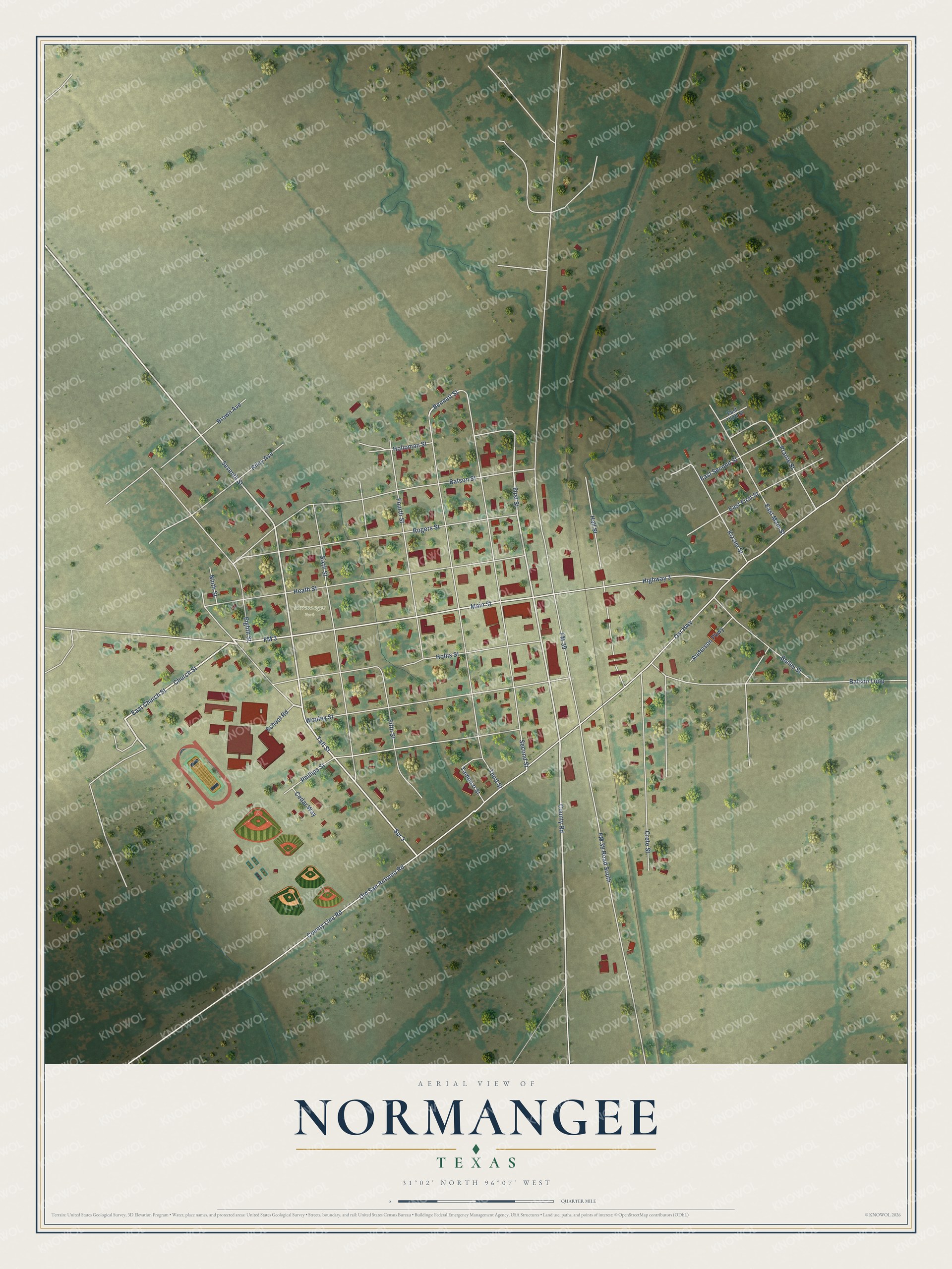
Street and place names on the Normangee, Texas map
These names are printed on the map of Normangee, Texas.
Places: Normangee Park.
Streets and roads: Taft Street, Seventh Street, County Road, Church Street, First Street, FM 3, Bennett Street, County Line Road, Old San Antonio Road, Osr Highway, Main Street, FM 39.
More street names, A to Z
Anderson Parkway, Bailey Street, Batson Loop, Batson Street, Brown Avenue, Cedar Way, Crete Street, East Church Street, East First Street, East Main Street, East Second Street, East Third Street, Eighth Street, Fifth Street, FM 39 Road South, Fourth Street, Hall Street, Heath Street, Highway 3, Hollis Street, Holloman Street, Kizzee Street, Ninth Street, Phillips Street, Prairie Street, Riley Avenue, Rogers Street, School Road, Second Street, Sixth Street, Spr 3, Tampico Street, Third Street, Wooley Street.
See the Normangee, Texas map on a wall
The Normangee map as an 18 x 24 inch print in a black frame.

This beautifully detailed map of Normangee makes an attractive addition to your office, library, or den, and it can even be used to teach children the geography and history of the area. It also makes a great gift for anyone who grew up in Normangee or moved away. When you’re done exploring, click here to get your copy of the Normangee map.