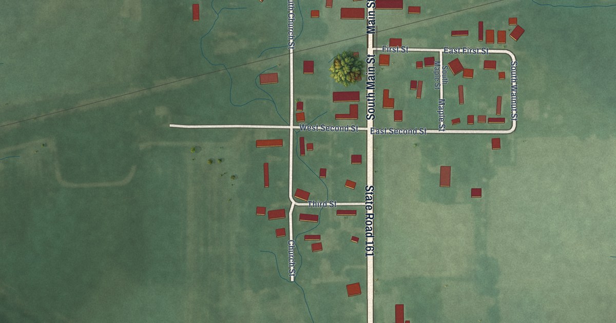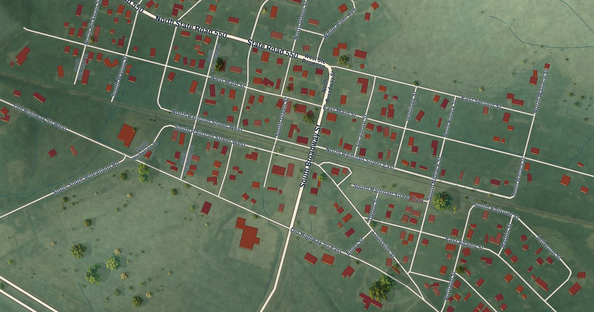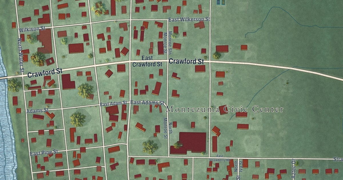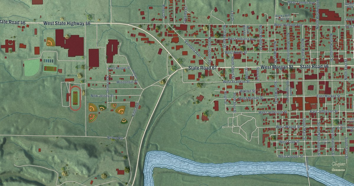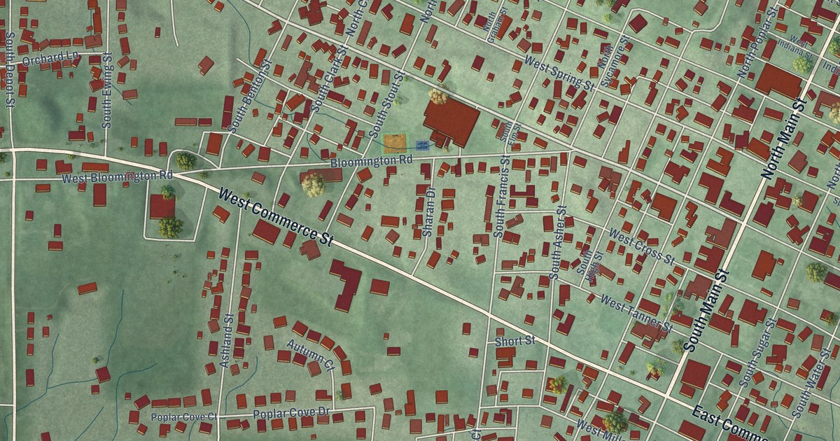
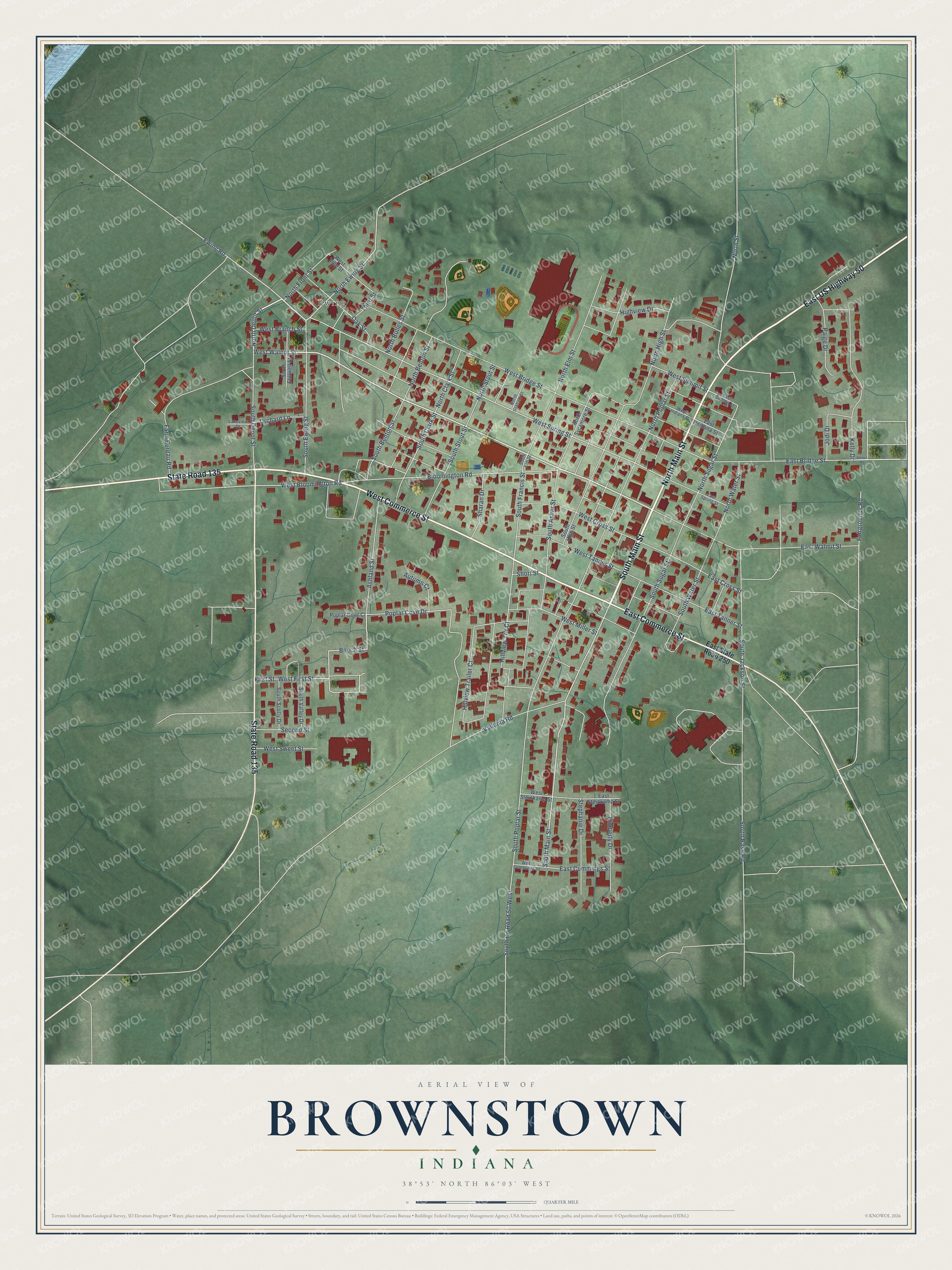
This beautifully detailed map of Brownstown, Indiana was created in 2026 using aerial imagery combined with modern topographical, census, street and landmark data. It's a modern aerial view of Brownstown in Jackson County, Indiana, that combines modern data with a vintage aesthetic. The roads feature printed names, and if you look closely you can find your exact house accurately shown in its correct location.
Explore an aerial view of Brownstown, Indiana
On this map you'll find Ewing, South Main Street, North Main Street, East US Highway 50, West Commerce Street, State Road 135, East Commerce Street, West Walnut Street, North Depot Street, West Spring Street, North Ewing Street, Beech Street, and more. Each red shape is a building, so zoom in on the preview and look for yours.
Brownstown has a story worth telling. The Internet Archive puts it this way: "SALES OF LOTS,
The first sale of lots was ordered advertised for the 5th
of March, 1817, and on said day lots were bought by John White,
George Paul, William Holeman, Samuel Young, William Cough-
lan, John Kutch, Nathan B."
Brownstown is a town in Jackson County. The Census Bureau counted 3,025 people here in 2020.
Take a closer look at the Brownstown map
Names on this map
These names are printed on this map.
Places: Ewing.
Streets and roads: South Main Street, North Main Street, East US Highway 50, West Commerce Street, State Road 135, East Commerce Street, West Walnut Street, North Depot Street, West Spring Street, North Ewing Street, Beech Street, Poplar Cove Drive.
More street names, A to Z
Ashland Street, Autumn Court, Bloomington Road, East Bridge Street, East Cross Street, East Cummings Street, East Indiana Street, East Spring Street, East State Road 250, East Steinkamp Street, East Summit Street, East Tanner Street, East Walnut Street, Ewing Road, Fairgrounds Road, Farm Bureau Road, First Street, Highview Drive, Hillview Trailer Court, Hillview Trlr Court, Jodi Drive, Kelly Drive, Kimberly Drive, Lakeview Drive, North Benton Street, North Bolles Street, North Clark Street, North Elm Street, North Front Street, North Graham Street, North High Street, North Poplar Street, North Stout Street, North Street, North Sugar Street, North Sycamore Street, North Water Street, Oak Street, Orchard Lane, Paige Drive, Poplar Cove Court, Second Street, Sharan Drive, Short Street, South Asher Street, South Base Road, South Benton Street, South Clark Street, South County Road 50 West, South Depot Street, South Elm Street, South Ewing Street, South Francis Street, South High Street, South Jackson Street, South Poplar Street, South Scotty Drive, South Stillwell Street, South Stout Street, South Sugar Street, South Valley Drive, South Water Street, Stephanie Drive, Third Street, Vallonia Road, Venus Road, West Bloomington Road, West Branch Street, West Bridge Street, West Cross Street, West Cummings Street, West First Street, West Indiana Street, West Miller Street, West Steinkamp Street, West Summit Street, West Sweet Street, West Tanner Street, West Vine Street.
Created by KNOWOL in 2026. The buildings are small red shapes, the roads carry their printed names, and shaded relief shows the shape of the land. The title panel reads "AERIAL VIEW OF BROWNSTOWN INDIANA" with 38°53' NORTH 86°03' WEST.
It looks right in a kitchen, an office or a den, and it's a gift for anyone who grew up in Brownstown or moved away. Open the preview and find your street. See sizes and frames for the Brownstown map.