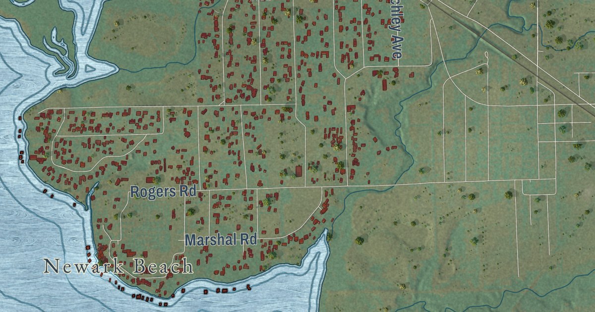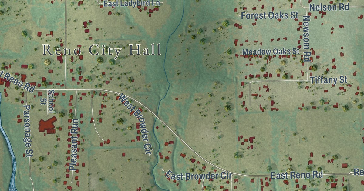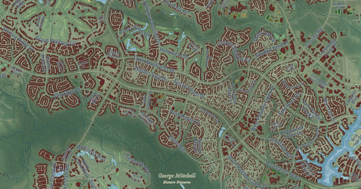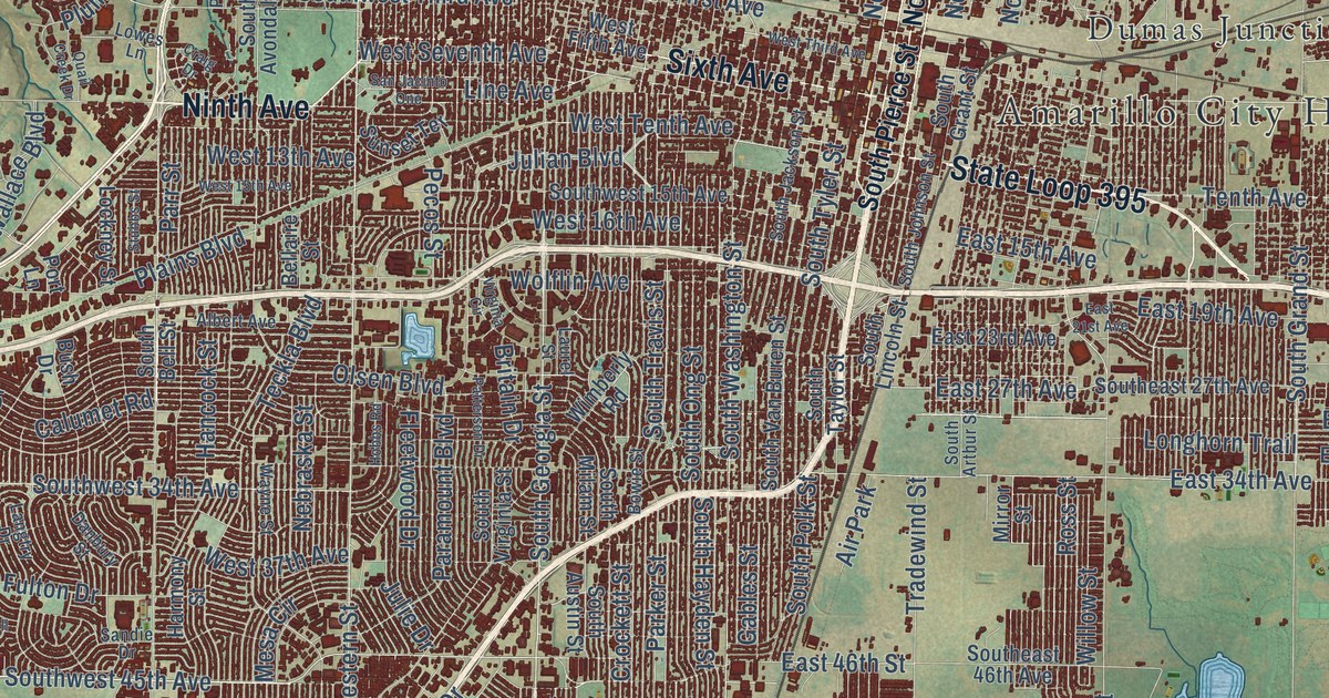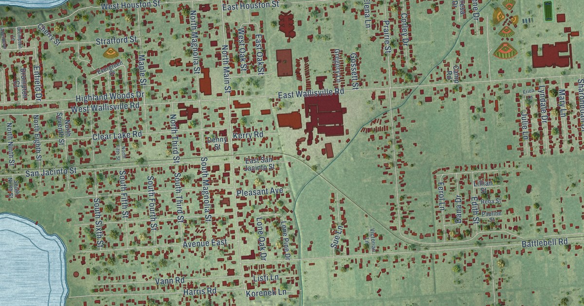
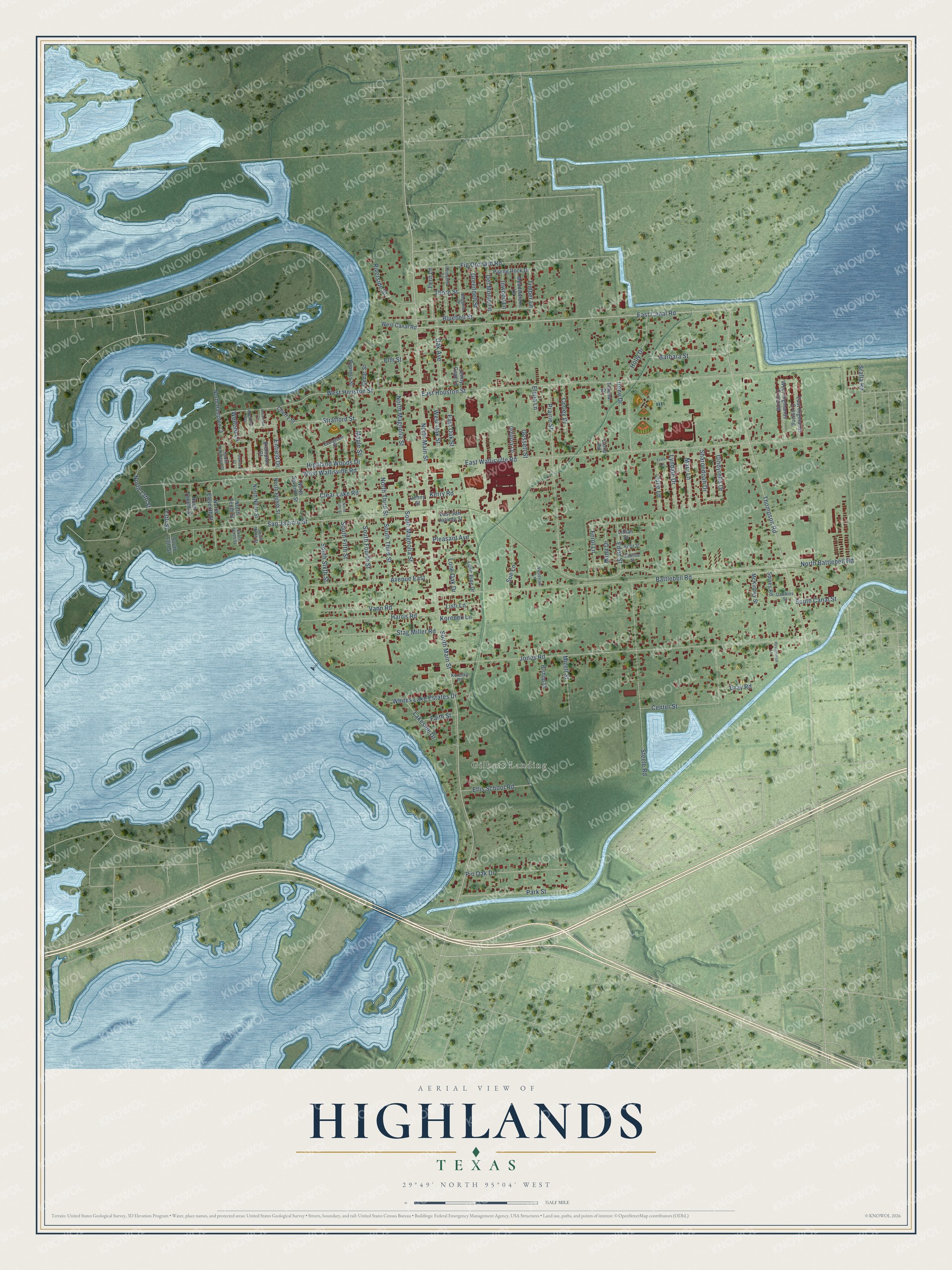
This beautifully detailed map of Highlands, Texas was created in 2026 using aerial imagery combined with modern topographical, census, street and landmark data. It’s a one-of-a-kind view of Highlands that combines accurate data with a vintage aesthetic. The map shows every building in its true location, many of the roads carry their names, and the shaded topographic relief shows the shape of the land.
Explore an aerial view of Highlands, Texas
On the map you’ll find Gilbert Landing, along with East Canal Road, South Main Street, Thompson Road, North Main Street, Maple Street, East Wallisville Road, Clear Lake Road, Jones Road, Battlebell Road, East Houston Street, West Wallisville Road, and more. If you look closely you can even find your house accurately drawn in its correct location. Zoom in on the preview to look for yours.
Did you know this piece of Highlands, Texas history?
From the Handbook of Texas: "The community of roughly nine square miles was named Highlands because when it was founded, the east bank of the San Jacinto River, where it is located, was higher than the west."
Take a closer look at the Highlands map
Street and place names on the Highlands, Texas map
These names are printed on the map of Highlands, Texas.
Places: Gilbert Landing.
Streets and roads: East Canal Road, South Main Street, Thompson Road, North Main Street, Maple Street, East Wallisville Road, Clear Lake Road, Jones Road, Battlebell Road, East Houston Street, West Wallisville Road, San Jacinto Street.
More street names, A to Z
13th Street, Aberdeen Way, Avenue East, Barbara Street, Begonia Lane, Bishop Street, Bluebell Street, Brompton Court, Brompton Lane, Camp Road, Cedar Street, Center Street, Cherry Street, Cindyrella Drive, Corley Drive, Cypress Street, Dana Drive, Dawkins Street, Del Monte Lane, Denny Street, Dunford Court, East Highlands Crossing, East Oak Street, East San Jacinto Street, Edith Street, Elena Lane, Ellis School Road, Elm Street, Enfield Drive, Erica Lane, Evergreen Drive, Faith Street, Fern Lane, Ferol Lane, Fig Orchard Road, Gossett Street, Gray Road, Greendell Street, Gregory Lane, Harris Road, Highland Woods Drive, Holly Drive, Inwood Lane, Irene Drive, Jenny Gaye Lane, Julie Lane, Kerry Road, Korenek Lane, Korenke Road, Lakeside Drive, Lillian Street, Listi Lane, Lone Oak Drive, Lone Pine Drive, Lyndale Drive, Mary Lane, McKinney Street, Meadowlake Lane, Mizell Street, North 13th Street, North Battlebell Road, North Eighth Street, North Eleventh Street, North Fifth Street, North Hampton Court, North Magnolia Street, North Ninth Street, North Seventh Street, North Tenth Street, North Third Street, North Twelfth Street, Oak Avenue, Park Street, Pauline Street, Pin Oak Drive, Piping Rock Drive, Pleasant Avenue, Poinsetta Lane, Prairie Street, Reba Street, Restoration Lane, Riverside Street, Sharondoah Drive, South 13th Street, South Canal Street, South Fifth Street, South Fourth Street, South Hampton Court, South Magnolia Street, South Ninth Street, South Sixth Street, South Tenth Street, South Third Street, Spivey Road, Sralla Road, Stag Miller Road, Steele Road, Stratford Street, Sue Lane, Teresa Drive, Thorn Street, Timber Lane, Vann Road, Victorian Lane, Welford Lane, West Canal Road, West Highlands Crossing, West Houston Street, West Oak Street, Whites Lake Estates Drive.
See the Highlands, Texas map on a wall
The Highlands map as an 18 x 24 inch print in a black frame.

This beautifully detailed map of Highlands makes an attractive addition to your office, library, or den, and it can even be used to teach children the geography and history of the area. It also makes a great gift for someone who left Highlands and still calls it home. When you’re done exploring, click here to get your copy of the Highlands map.