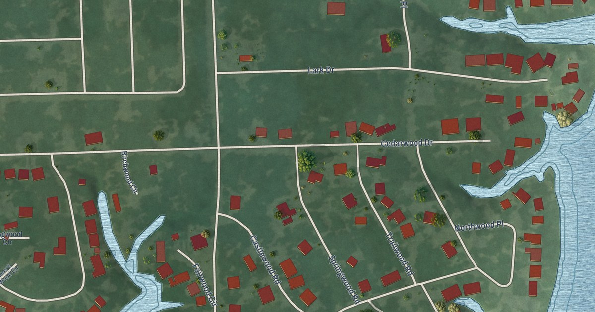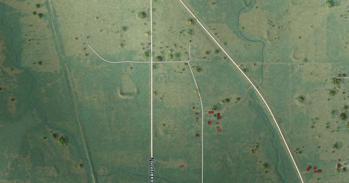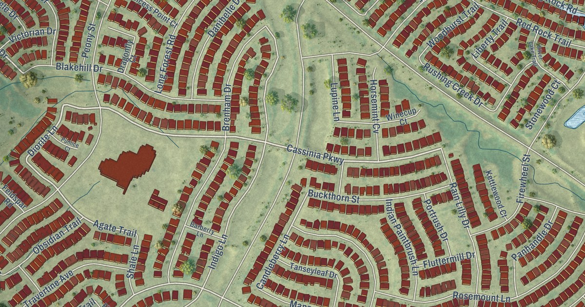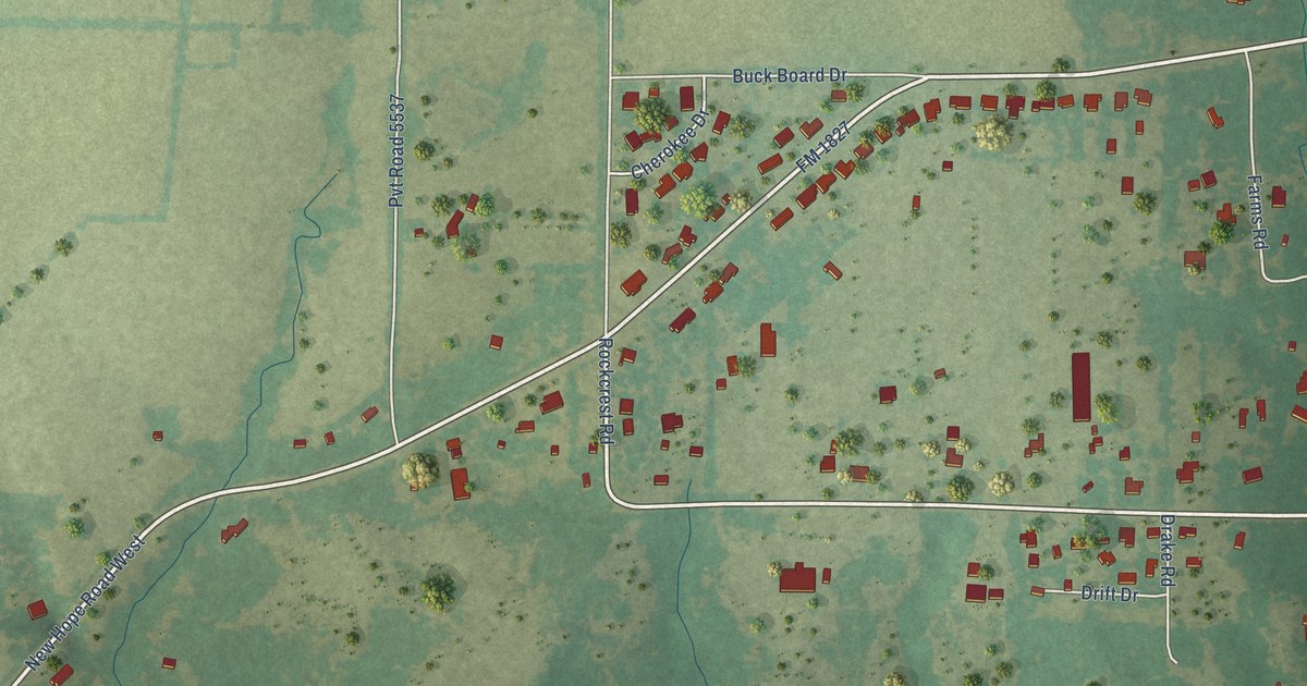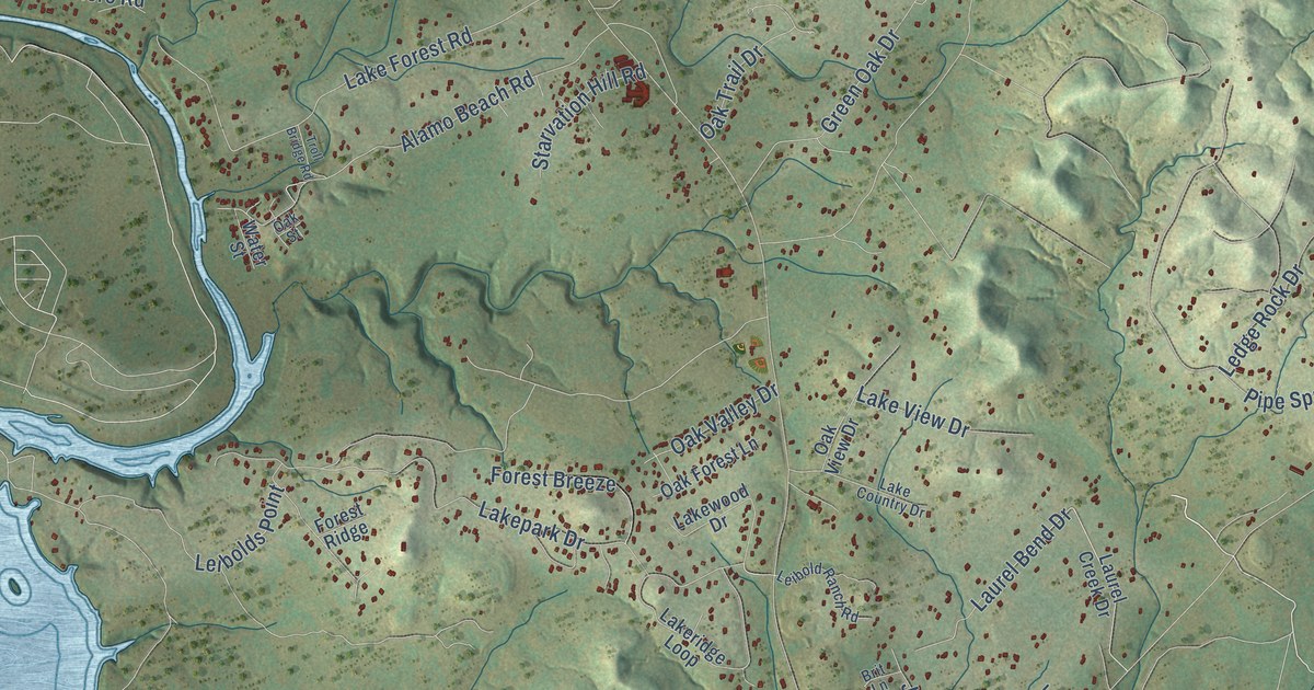
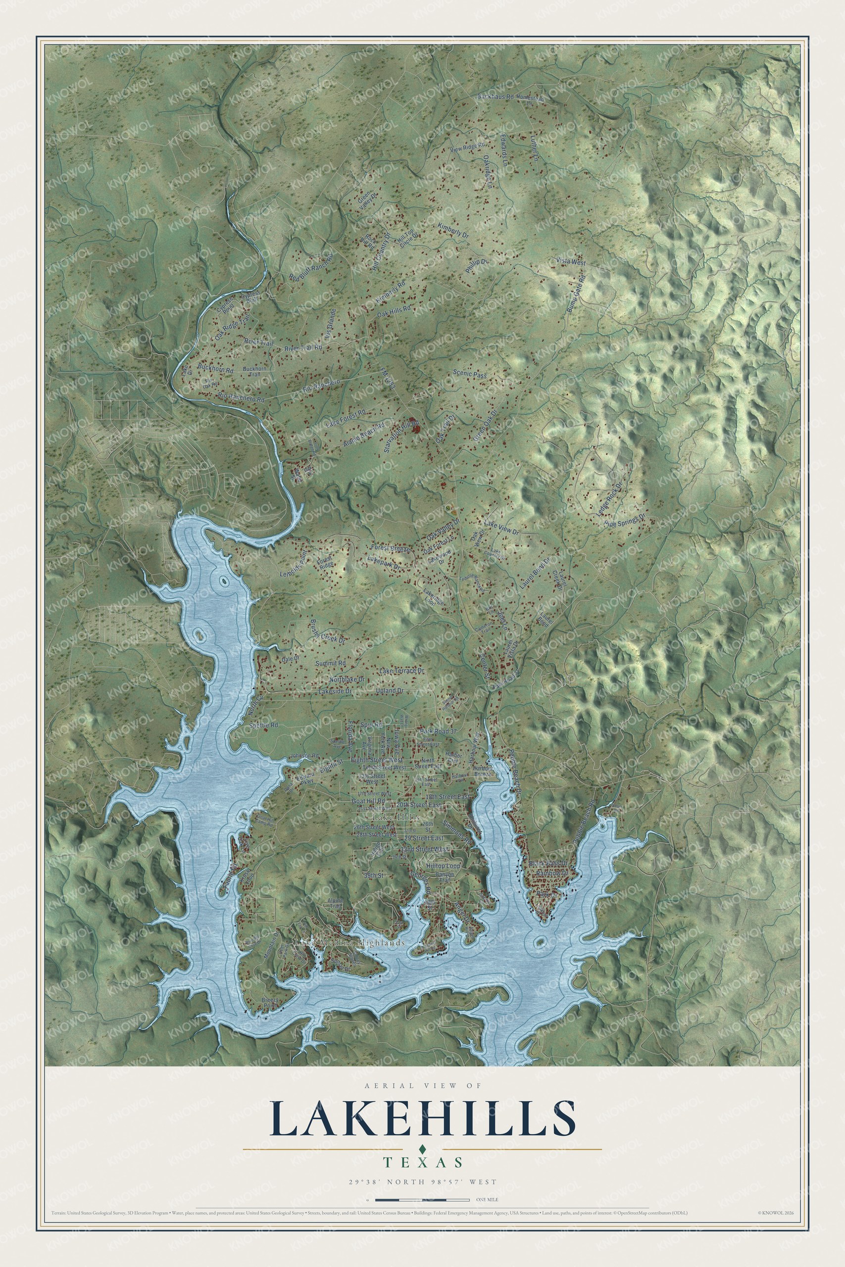
This beautifully detailed map of Lakehills, Texas was created in 2026 using aerial imagery combined with modern topographical, census, street and landmark data. It's a modern aerial view of Lakehills in Bandera County, Texas, that combines modern data with a vintage aesthetic. The roads feature printed names, and if you look closely you can find your exact house accurately shown in its correct location.
Explore an aerial view of Lakehills, Texas
On this map you'll find Lake Medina Highlands, Lake Hills, Laurel Bend Drive, River Trail, River Trail Road, Oak Ridge Trail, Park Road 37, Goat Hill Road, Georges Road, Upland Drive, 20th Street East, Park Drive, and more. Each red shape is a building, so zoom in on the preview and look for yours.
Lakehills has a story worth telling. The Handbook of Texas puts it this way: "The community was known as Upper Medina Lake until a post office substation was established there in the early 1960s."
Lakehills is a community in Bandera County. The Census Bureau counted 5,295 people here in 2020.
Take a closer look at the Lakehills map
Names on this map
These names are printed on this map.
Places: Lake Medina Highlands and Lake Hills.
Streets and roads: Laurel Bend Drive, River Trail, River Trail Road, Oak Ridge Trail, Park Road 37, Goat Hill Road, Georges Road, Upland Drive, 20th Street East, Park Drive, FM 1283, Bump Gate Road.
More street names, A to Z
13th Street West, 14th Street East, 17th Street West, 18th Street East, 21st Street West, 26th Street, 26th Street West, 27th Street, 28th Street West, 29 Street East, 32nd Street West, 34th Street, 39th Street, 48th Street, 51st Street, Alamo Beach Road, Alpine Trail, Angel Drive, Angel Hill Drive, Backhaus Road, Black Bass Drive, Blue Bill Cove Drive, Breezy Point, Brit Lane, Brushy Creek Drive, Buckhorn Road, Buckhorn Trail, Cameron Trail, Canyon Trail, Center Street, Cypress Bluff, Cypress Point, Dale Drive, Dana Drive, Deer Park Drive, Edward Parkway, Edwards Lane, Eighth Street, Eighth Street West, Elmhurst Drive, Faurie Road, Fifth Street East, Florida Avenue, Forest Breeze, Forest Ridge, Goat Hill Camp Road, Green Oak Drive, Green Valley Drive, Harbor Crst, Harbour Breeze, Harbour Vw, Harbour Way, Hill Country Drive, Hill Crest Drive, Hill Top Circle Drive, Hill Top Lane, Hilltop Loop, Homestead Lane, Indigo Trail, Iowa Avenue, Joel Lane, Johnson Road, Kimberly Drive, Kimberly Road, Kruse Loop, Lake Country Drive, Lake Drive, Lake Forest Road, Lakepark Drive, Lakeridge Loop, Lakeside Drive, Lake Terrace Drive, Lake View Drive, Lakewood Drive, Laurel Bend, Laurel Creek Drive, Laurel Vista Drive, Ledge Rock Drive, Leibold Ranch Road, Leibolds Point, Live Oak Lane, Lookout Drive, Luther Lane, Mountain Drive, New York Avenue, Ninth Street East, North Cv, Northlake Drive, Oak Forest Lane, Oak Hills Road, Oakridge Lane, Oak Street, Oak Trail Drive, Oak Valley Drive, Oak View Drive, Odom Road, Pebble Beach Drive, Pebble Beach Road, Phillip Drive, Pipe Springs Drive, Prospect Hill Road, Rainbow Drive, Red Bluff Ranch Road, Rio Oak Road, Rio Ranchero, Rio Ranchero Road, Rock Hill Road, Scenic Circle, Scenic Harbour Road, Scenic Pass, Sidney Shores, Simmons Road, Spettle Avenue, Spettle Road, Spur Road, Starvation Hill Road, Summit Road, Sunset Drive, Tenth Street West, Troll Bridge Road, View Ridge Road, Virginia Avenue, Vis Grande, Vista West, Water Street, Wrong Way Lane.
Created by KNOWOL in 2026. The buildings are small red shapes, the roads carry their printed names, and shaded relief shows the shape of the land. The title panel reads "AERIAL VIEW OF LAKEHILLS TEXAS" with 29°38' NORTH 98°57' WEST.
It looks right in a kitchen, an office or a den, and it's a gift for anyone who grew up in Lakehills or moved away. Open the preview and find your street. See sizes and frames for the Lakehills map.