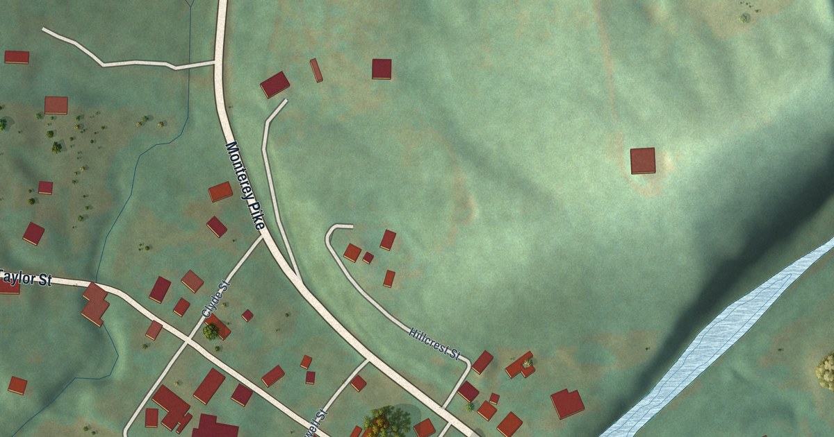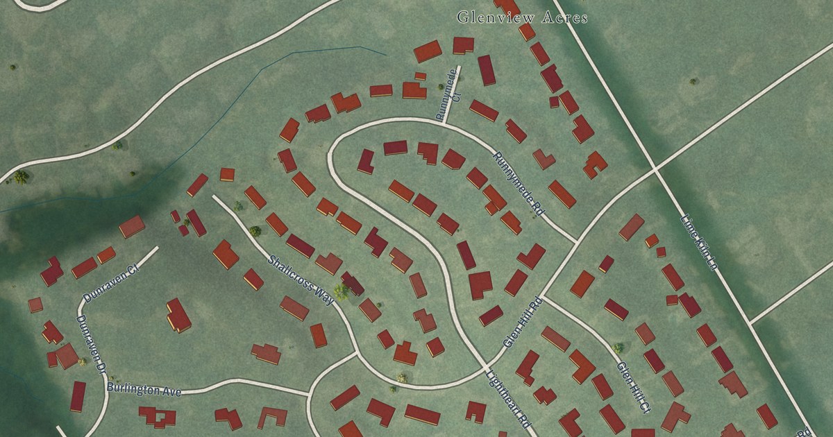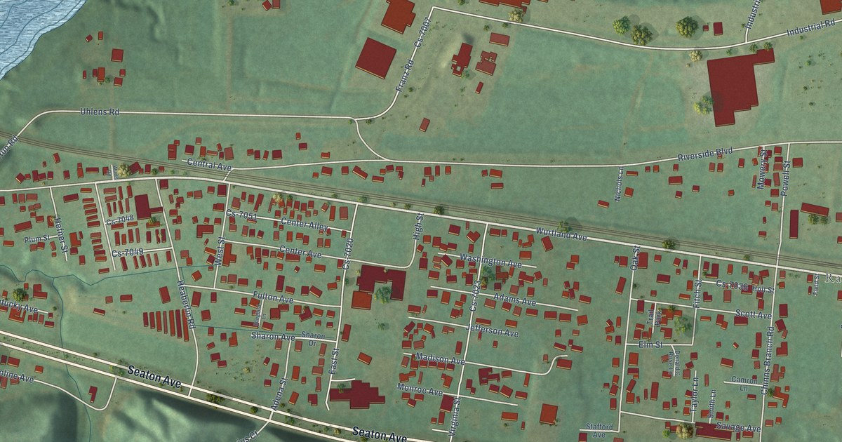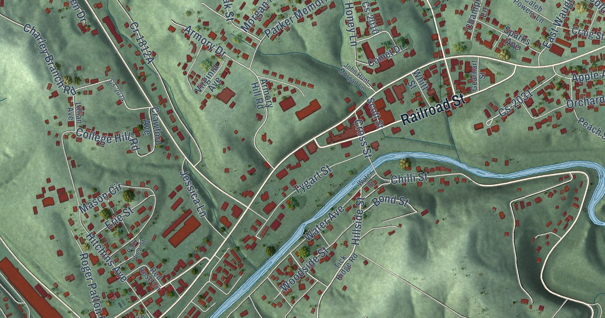
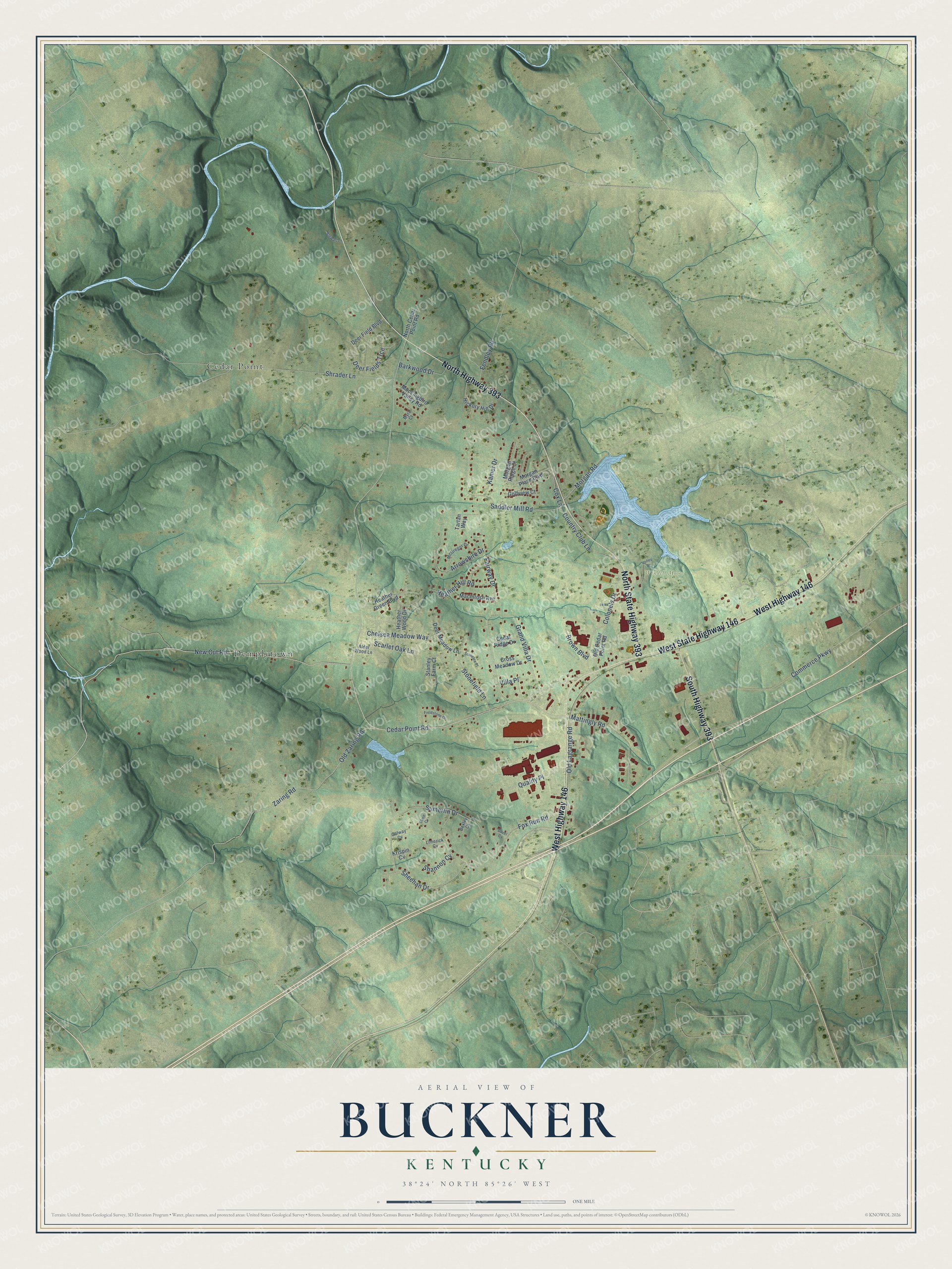
This beautifully detailed map of Buckner, Kentucky was created in 2026 using aerial imagery combined with modern topographical, census, street and landmark data. It’s a one-of-a-kind view of Buckner that combines accurate data with a vintage aesthetic. The map shows every building in its true location, many of the roads carry their names, and the shaded topographic relief shows the shape of the land.
Explore an aerial view of Buckner, Kentucky
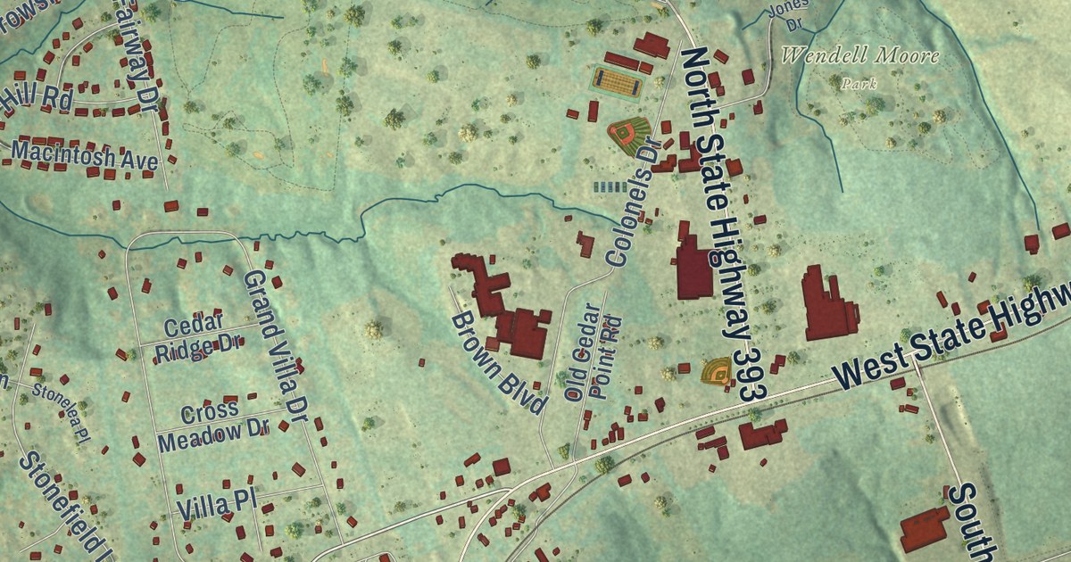
On the map you’ll find Wendell Moore Park, Cedar Point, and Demplytown, along with North Highway 393, North State Highway 393, West Highway 146, West State Highway 146, South Highway 393, Cedar Point Road, New Cut Road, Shrader Lane, Old Zaring Road, and more. If you look closely you can even find your house accurately drawn in its correct location. Zoom in on the preview to look for yours.
Did you know this piece of Buckner, Kentucky history?
From the Kentucky Atlas and Gazetteer: "Buckner is a Oldham county community just southwest of La Grange. The Buckner Station post office opened in 1867 and was renamed Buckner in 1880."
Take a closer look at the Buckner map
Street and place names on the Buckner, Kentucky map
These names are printed on the map of Buckner, Kentucky.
Places: Wendell Moore Park, Cedar Point and Demplytown.
Streets and roads: North Highway 393, North State Highway 393, West Highway 146, West State Highway 146, South Highway 393, Cedar Point Road, New Cut Road, Shrader Lane, Old Zaring Road, Zaring Road, Grand Villa Drive, Commerce Parkway.
More street names, A to Z
Alder Wood Lane, Arrowshire Drive, Barkwood Drive, Bexley Cv, Brown Boulevard, Cedar Ridge Drive, Chelsea Meadow Way, Clare Cv, Colonels Drive, Country Club Lane, Cox Lane, Cross Meadow Drive, Deer Field Boulevard, Deer Fields Trce, Deer Meadow Lane, Dover Cv, Fairway Drive, Fendley Road, Fieldstone Drive, Fox Run Road, Galway Cv, Golfview Court, Heather Green Boulevard, Heather Hill Road, Heather Wood Drive, Hickory Hill Drive, Jones Drive, Kamer Drive, Krispin Cv, Limerick Cv, Macintosh Avenue, Mattingly Road, McGregor Drive, Mockingbird Valley Road, Morgan Place Boulevard, Morgan Ridge Court, Morgan Road, Myra Court, North Cedar Point Road, Old Cedar Point Road, Old Lagrange Road, Quality Place, Saddler Mill Road, Scarlet Oak Lane, Shannon Cv, Sheehan Drive, Stanley Farm Court, Stewart Lane, Stonefield Lane, Stonelea Place, Sumerlin Drive, Tartan Way, Villa Place.
See the Buckner, Kentucky map on a wall
The Buckner map as an 18 x 24 inch print in a black frame.

This beautifully detailed map of Buckner makes an attractive addition to your office, library, or den, and it can even be used to teach children the geography and history of the area. It also makes a great gift for anyone who grew up in Buckner or moved away. When you’re done exploring, click here to get your copy of the Buckner map.