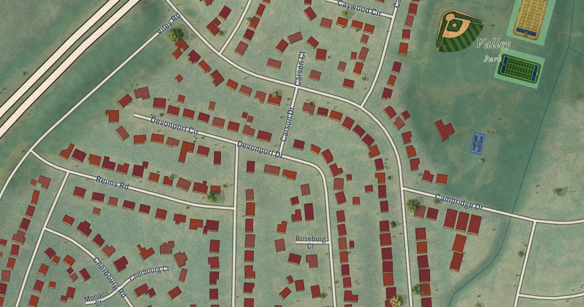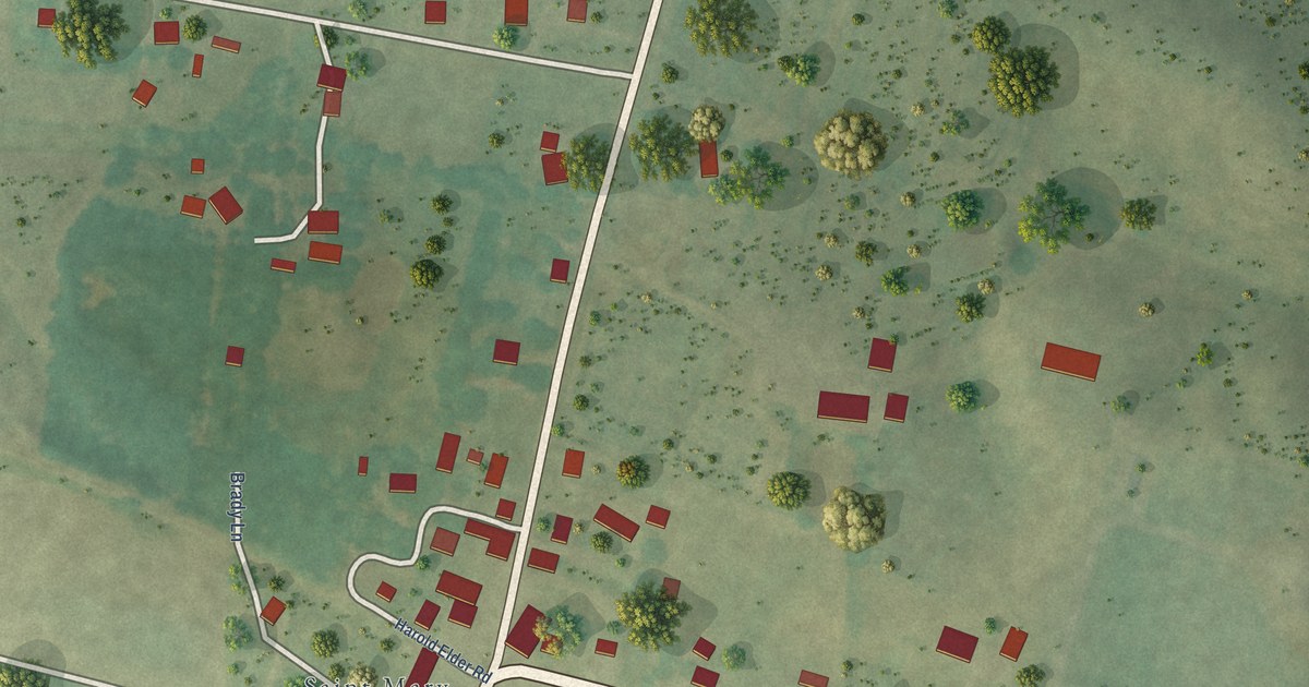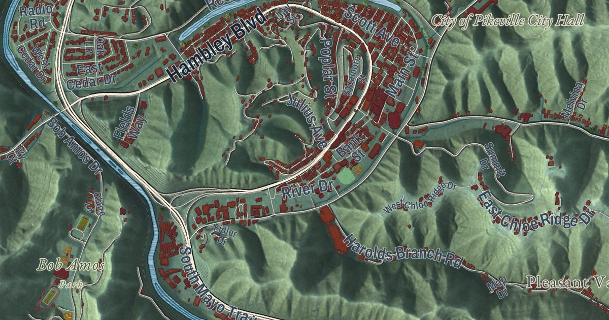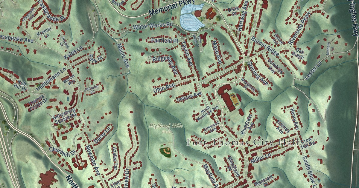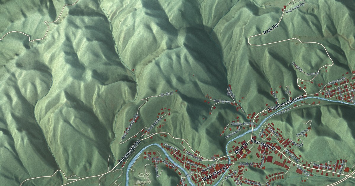
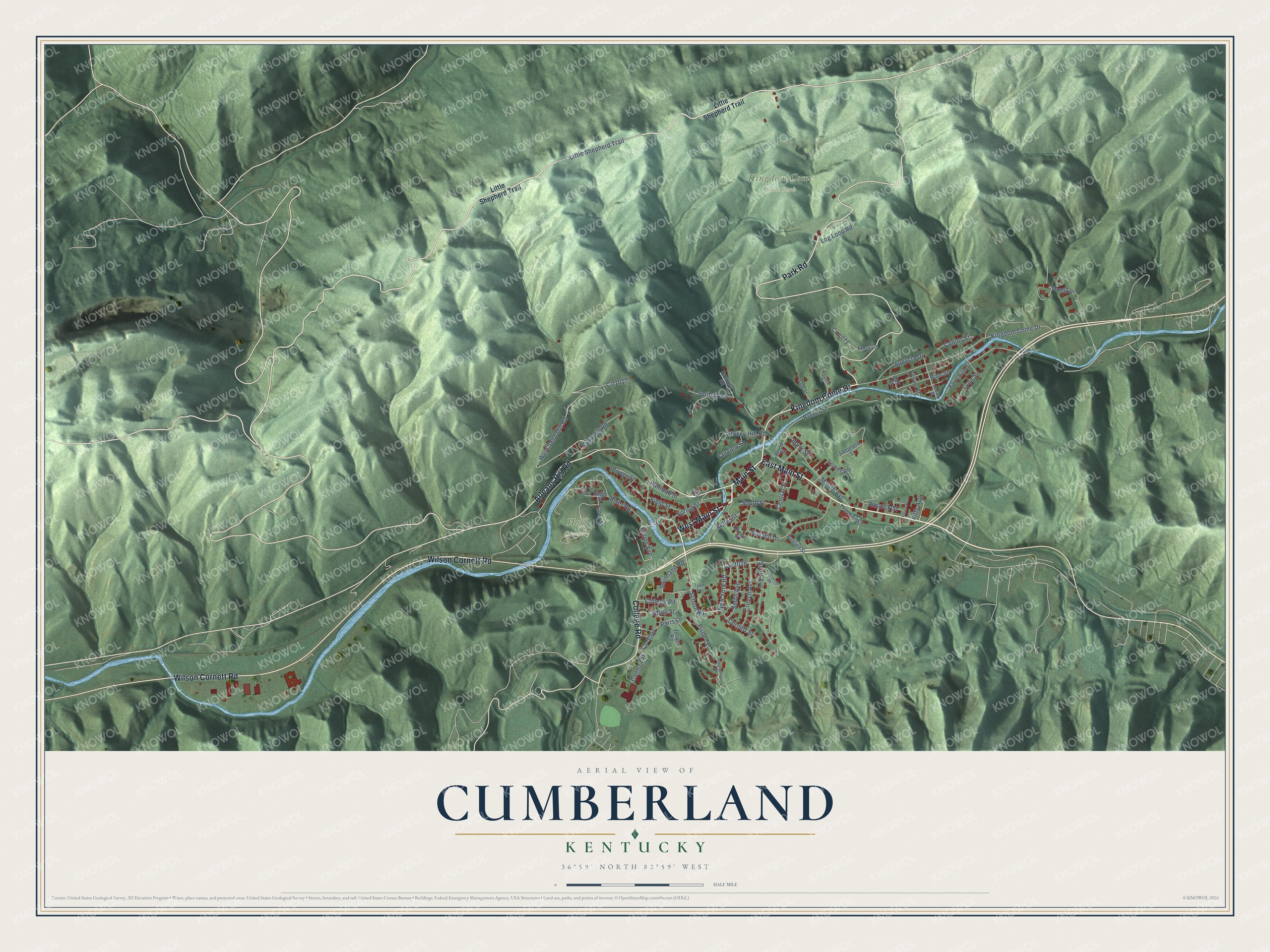
This beautifully detailed map of Cumberland, Kentucky was created in 2026 using aerial imagery combined with modern topographical, census, street and landmark data. It’s a one-of-a-kind view of Cumberland that combines accurate data with a vintage aesthetic. The map shows every building in its true location, many of the roads carry their names, and the shaded topographic relief shows the shape of the land.
Explore an aerial view of Cumberland, Kentucky
On the map you’ll find Kingdom Come State Park and Huff Cemetery, along with College Road, West Main Street, Main Street, East Main Street, Kingdom Come Drive, Park Road, Wilson Cornett Road, Arleans Hill Road, School Road, New York Road, and more. If you look closely you can even find your house accurately drawn in its correct location. Zoom in on the preview to look for yours.
Did you know this piece of Cumberland, Kentucky history?
Cumberland was settled in 1837 and first called Poor Fork. The name came from its spot on a fork of the Cumberland River where the soil was poor. The town stayed isolated until the coal boom of the 1900s brought railroads, and it became Cumberland in 1926.
Take a closer look at the Cumberland map
Street and place names on the Cumberland, Kentucky map
These names are printed on the map of Cumberland, Kentucky.
Places: Kingdom Come State Park and Huff Cemetery.
Streets and roads: College Road, West Main Street, Main Street, East Main Street, Kingdom Come Drive, Park Road, Wilson Cornett Road, Arleans Hill Road, School Road, New York Road, Little Shepherd Trail, Cs-3026.
More street names, A to Z
Appalachian Road, Augusta Drive, Bank Street, Billips Avenue, Blevins Street, Brown Street, Cannon Street, Central Street, Collins Street, Cornett Street, Cr-1017, Cr-1072, Creech Avenue, Creech Drive, Cs-3007, Fairchild Street, Fairview Street, Field Street, Fifth Avenue, Fourth Avenue, Foutch Street, Franzina Street, Frazier Street, Hogg Street, Ison Street, Jasper Road, Keller Street, Log Loop Road, Lower Road, Lynn Street, Martin Avenue, Mastin Drive, Oak Street, Oroark Street, Paris Lane, Parker Street, Pine Street, Power Street, Pride Terrace, Railroad Street, Rasnick Street, Ray Street, River Road, Rose Street, Russell Drive, Russell Street, Sand Hill Road, Sawmill Road, Scott Avenue, Shepherd Street, Smith Avenue, South Street, Spring Avenue, Spring Street, Stacey Hill Road, Swimland Road, Trout Lane, Tyler Lane, West Sand Hill Road, White Street, Wood Street, Yaden Street.
See the Cumberland, Kentucky map on a wall
The Cumberland map as an 18 x 24 inch print in a black frame.

This beautifully detailed map of Cumberland makes an attractive addition to your office, library, or den, and it can even be used to teach children the geography and history of the area. It also makes a great gift for anyone who grew up in Cumberland or moved away. When you’re done exploring, click here to get your copy of the Cumberland map.