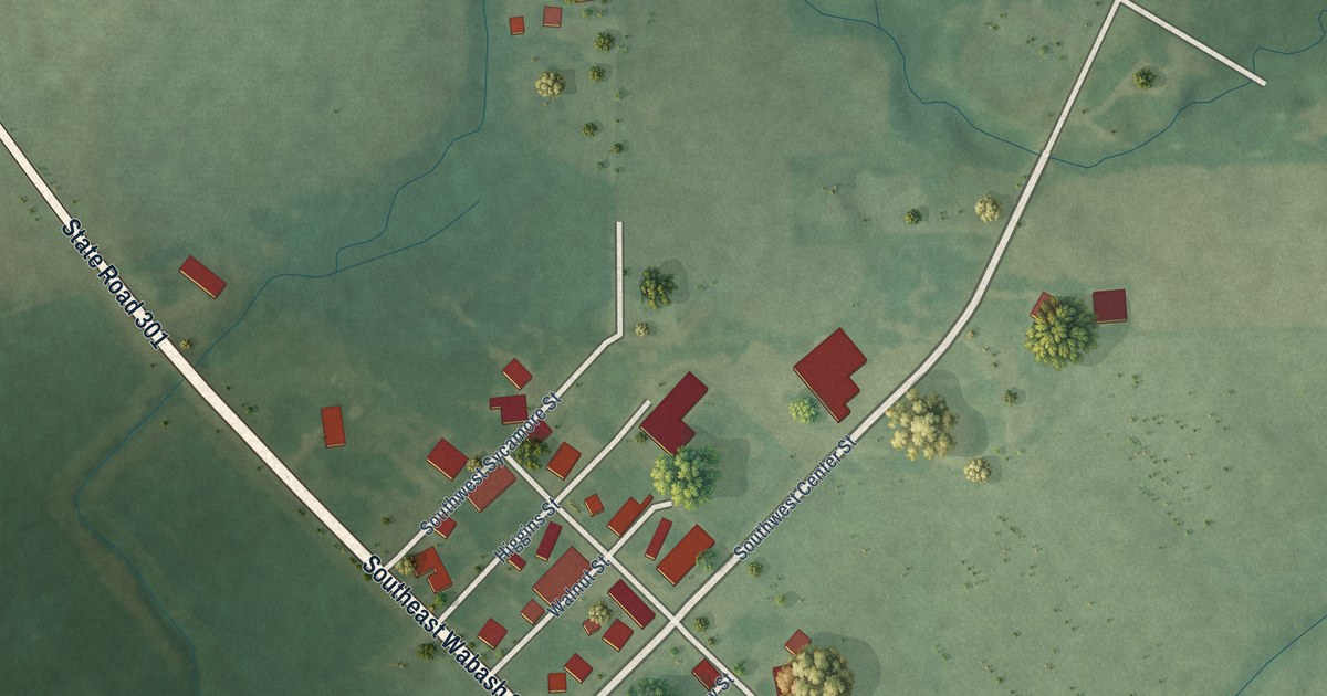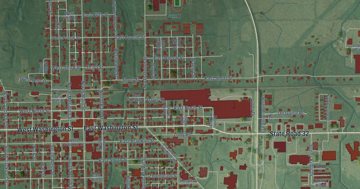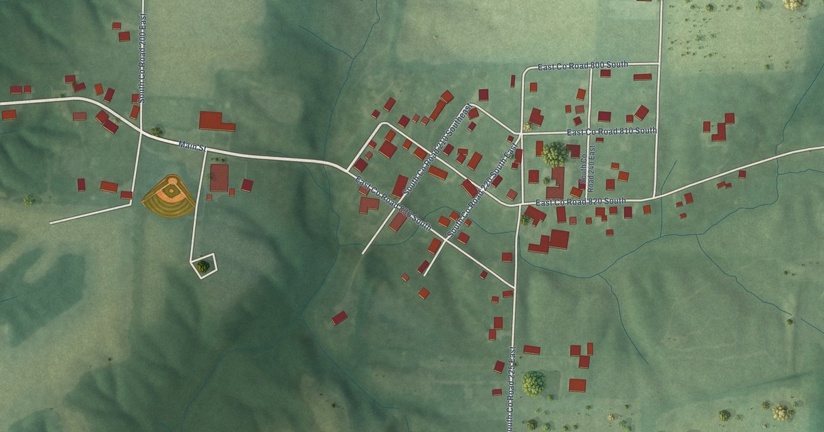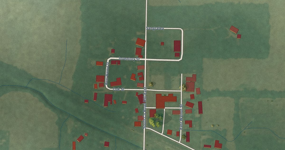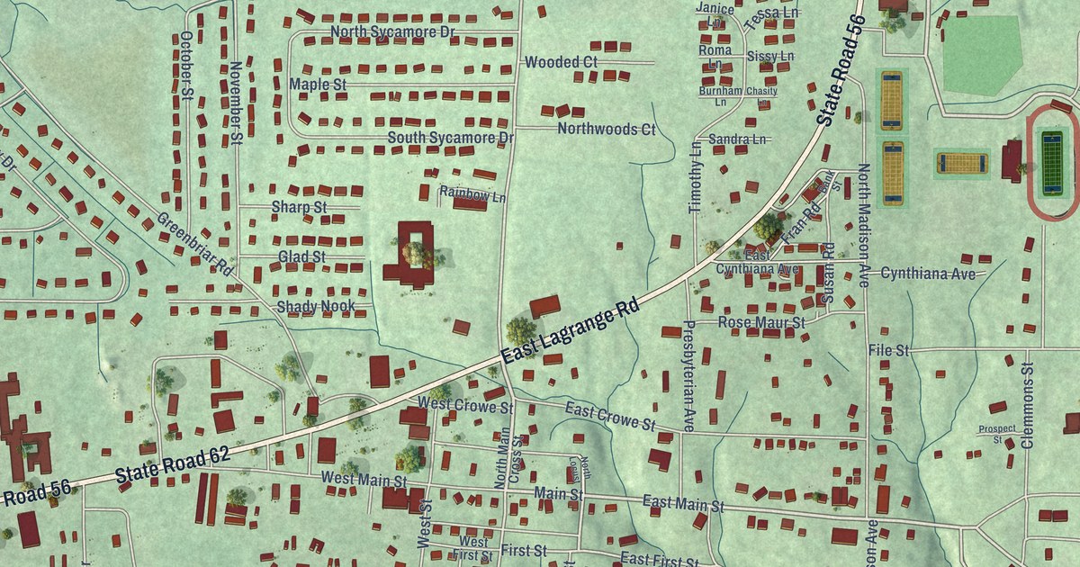
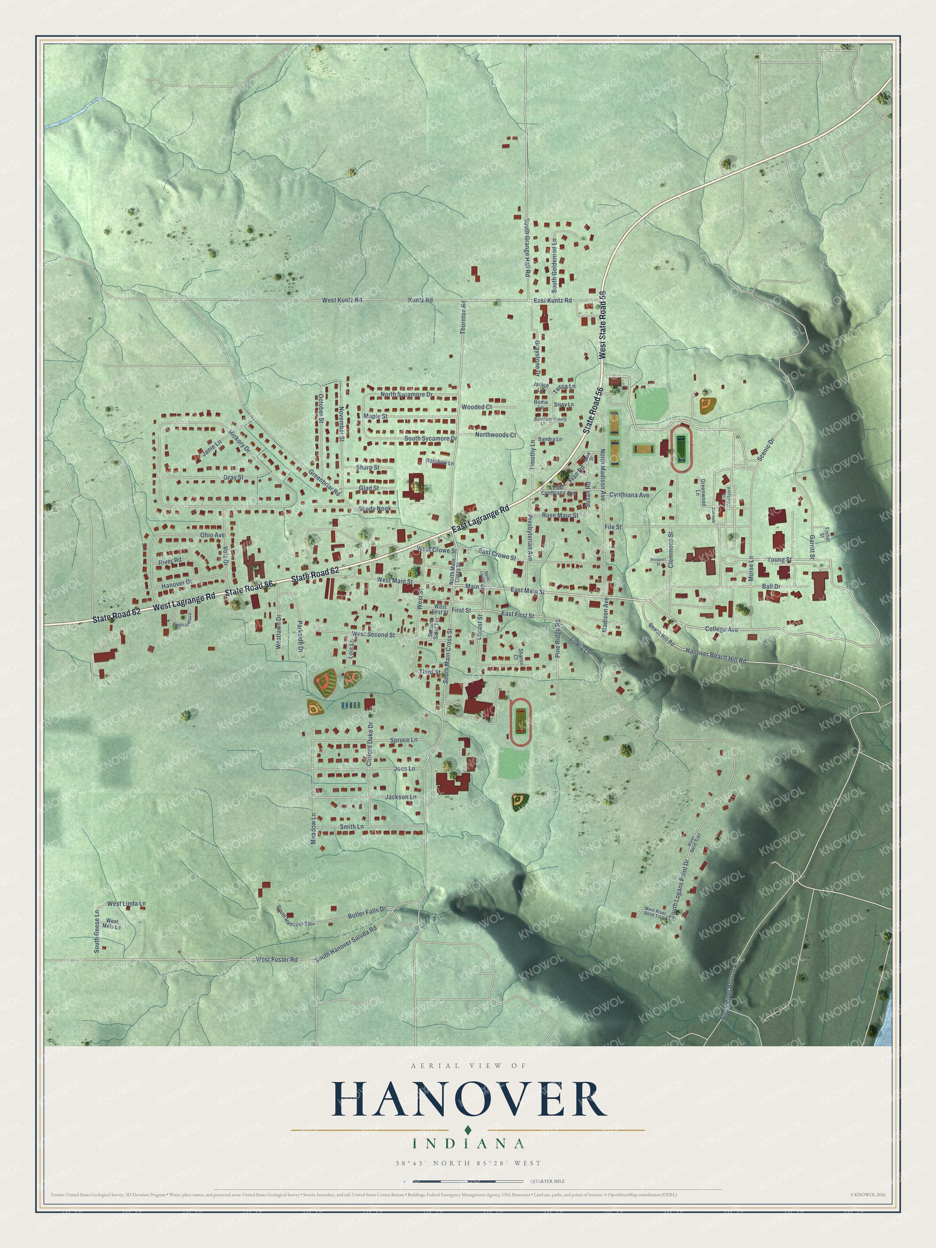
This beautifully detailed map of Hanover, Indiana was created in 2026 using aerial imagery combined with modern topographical, census, street and landmark data. It's a modern aerial view of Hanover in Jefferson County, Indiana, that combines modern data with a vintage aesthetic. The roads feature printed names, and if you look closely you can find your exact house accurately shown in its correct location.
Explore an aerial view of Hanover, Indiana
On this map you'll find State Road 56, State Road 62, West Lagrange Road, West State Road 56, East Lagrange Road, Main Street, East Main Street, College Avenue, Young Street, Locust Street, Thornton Road, Hanover Beach Hill Road, and more. Each red shape is a building, so zoom in on the preview and look for yours.
Hanover has a story worth telling. The Internet Archive puts it this way: "The first step in the direction of military activity in this
county seems to have been that taken by Hanover College, in
mid-April of 1917, when it decided upon a course of military
training and instruction in nursing."
Hanover is a town in Jefferson County. The Census Bureau counted 3,743 people here in 2020.
Take a closer look at the Hanover map
Names on this map
These names are printed on this map.
Streets and roads: State Road 56, State Road 62, West Lagrange Road, West State Road 56, East Lagrange Road, Main Street, East Main Street, College Avenue, Young Street, Locust Street, Thornton Road, Hanover Beach Hill Road.
More street names, A to Z
Ball Drive, Bank Street, Beach Hill Road, Burnham Lane, Butler Falls Drive, Chasity Lane, Clemmons Street, Clifford Duke Drive, Cynthiana Avenue, East Crowe Street, East Cynthiana Avenue, East First Street, East Kuntz Road, File Courtyard, File Street, First Street, Fisher Street, Fran Road, Garritt Street, Glad Street, Graystone Drive, Gray Street, Greenbriar Road, Greenwood Lane, Hanover Drive, Hickory Drive, Jackson Lane, Janice Lane, Janie Lane, Joes Lane, Kuntz Road, Lois Lane, Lowry Lane, Madison Avenue, Maple Street, Meadow Lane, Medical Plaza, Morse Lane, North Locust, North Madison Avenue, North Main Cross Street, North Sycamore Drive, Northwoods Court, November Street, October Street, Ohio Avenue, Parkside Drive, Pine Ridge Road, Presbyterian Avenue, Prospect Street, Rainbow Lane, River Bend Trail, River Road, Roma Lane, Rose Maur Street, Sandra Lane, Scenic Drive, Second Saint Terrace, Shady Nook, Sharon Court, Sharp Street, Sidewalk, Sissy Lane, Smith Lane, South Geese Lane, South Goldenrod Lane, South Grange Hall Road, South Hanover Saluda Road, South Hanover Splu, South Logans Point Drive, South Main Cross Street, South River Bottom Road, South Sycamore Drive, Spruce Lane, Susan Road, Tessa Lane, Third Street, Timothy Lane, Volz Drive, West Crowe Street, West First Street, West Foster Road, West Kuntz Road, Westlawn Drive, West Linda Lane, West Main Street, West Mels Lane, West River Bend Trail, West Second Street, West Street, Wooded Court.
Created by KNOWOL in 2026. The buildings are small red shapes, the roads carry their printed names, and shaded relief shows the shape of the land. The title panel reads "AERIAL VIEW OF HANOVER INDIANA" with 38°43' NORTH 85°28' WEST.
It looks right in a kitchen, an office or a den, and it's a gift for anyone who grew up in Hanover or moved away. Open the preview and find your street. See sizes and frames for the Hanover map.