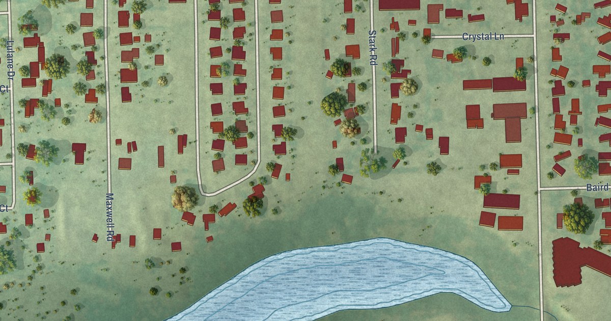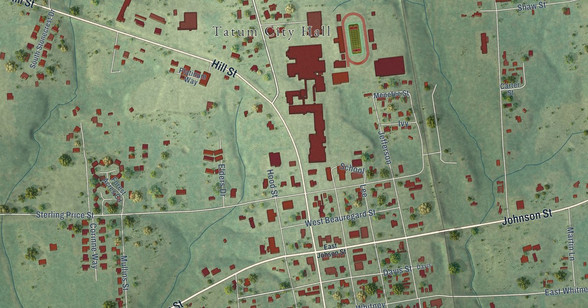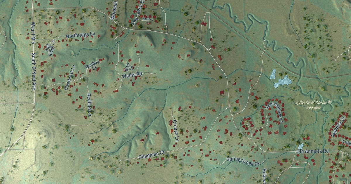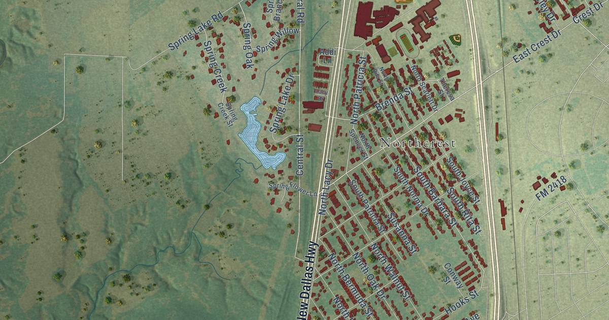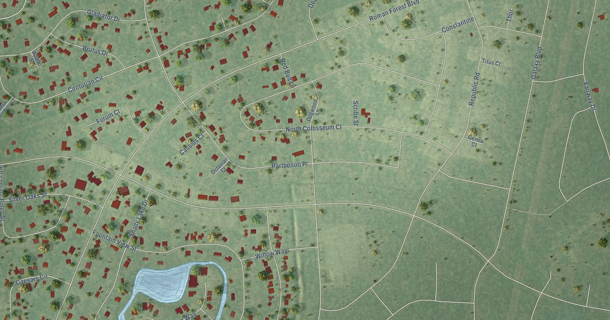
This beautifully detailed map of Roman Forest, Texas was created in 2026 using aerial imagery combined with modern topographical, census, street and landmark data. It’s a one-of-a-kind view of Roman Forest that combines accurate data with a vintage aesthetic. The map shows every building in its true location, many of the roads carry their names, and the shaded topographic relief shows the shape of the land.
Explore an aerial view of Roman Forest, Texas
On the map you’ll find Creekside, Magnolia Bend, and Parthenon Place, along with Roman Forest Boulevard, Appian Way, Centurian Circle, North Colosseum Court, Constantine Drive, Fountain View Street, Republic Road, Michaelangelo Street, Country Club Drive, and more. If you look closely you can even find your house accurately drawn in its correct location. Zoom in on the preview to look for yours.
Did you know this piece of Roman Forest, Texas history?
From the Handbook of Texas: "The community began as a residential subdivision that developers named for the area's wooded terrain."
Take a closer look at the Roman Forest map
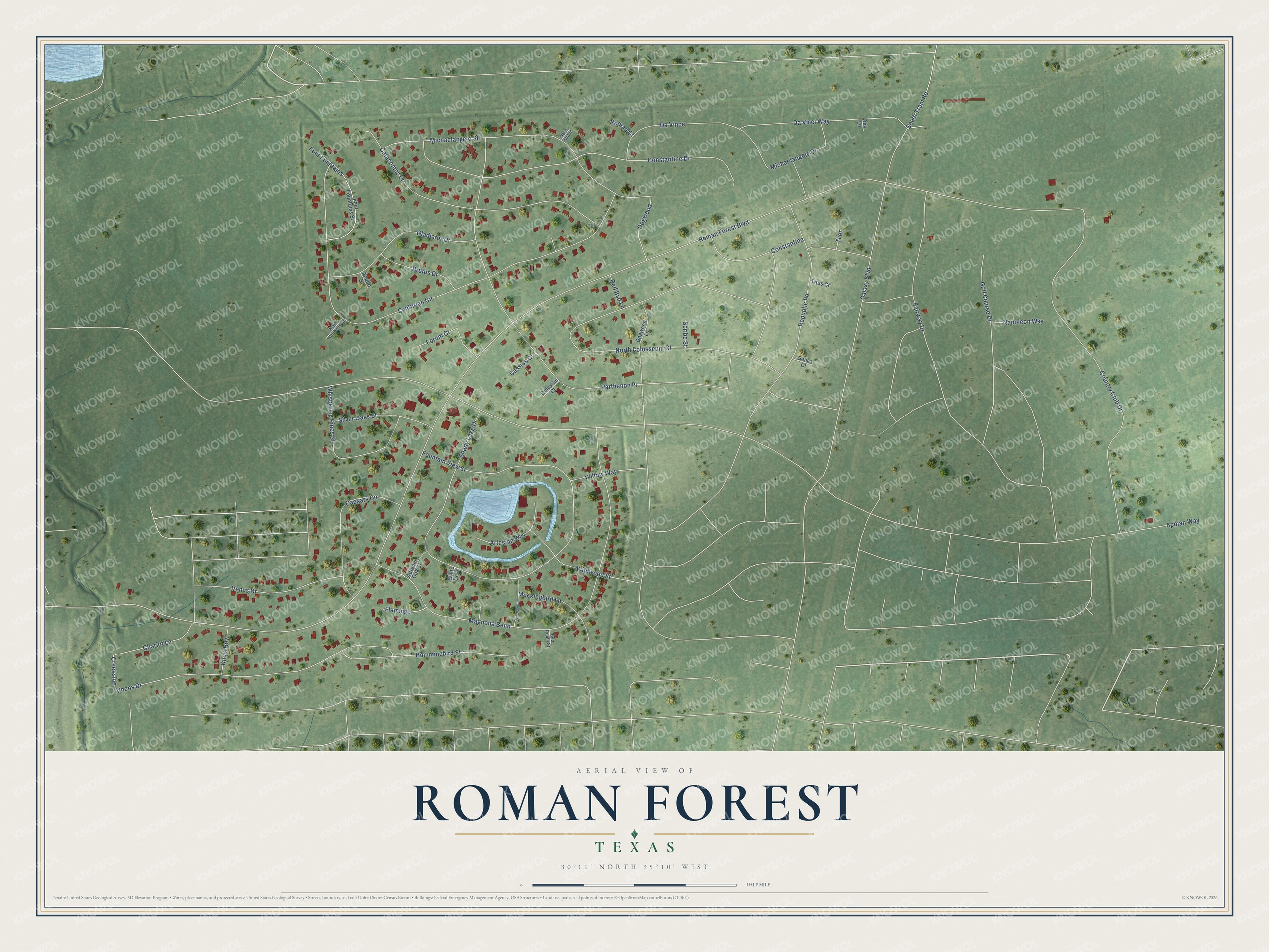
Street names on the Roman Forest, Texas map
These names are printed on the map of Roman Forest, Texas.
Streets and roads: Creekside, Roman Forest Boulevard, Appian Way, Centurian Circle, North Colosseum Court, Magnolia Bend, Constantine Drive, Fountain View Street, Parthenon Place, Republic Road, Michaelangelo Street, Country Club Drive.
More street names, A to Z
Apollo Street, Artesian Way, Athens Drive, Autumn Oak Street, Brutus Drive, Caesars Circle, Cassius Court, Catacombs Drive, Chariot Lane, Constantine, Da Vince, Da Vinci Way, Dogwood, Dogwood Lane, Fairway Drive, Flamingo, Forum Court, Four Fountains, Four Fountains Street, Galaxy Boulevard, Genoa Court, Gladiator Drive, Golf Course Drive, Hummingbird Street, Kings Row, Mark Anthony Court, Michaelangelo Drive, Mockingbird Lane, Napoleon Way, Nero Palace, Oak Lane, Octavian Court, Red Bud Lane, Red Robin Street, Roman Court, Scribe Street, Shady Lake Drive, Silver Oaks Street, South Tram Road, Springwood, Thor, Titus Court, Venus Drive, Whispering Pines Street, White Dove, Wildwood Street, Willow Way.
See the Roman Forest, Texas map on a wall
The Roman Forest map as an 18 x 24 inch print in a black frame.

This beautifully detailed map of Roman Forest makes an attractive addition to your office, library, or den, and it can even be used to teach children the geography and history of the area. It also makes a great gift for anyone with Roman Forest roots. When you’re done exploring, click here to get your copy of the Roman Forest map.