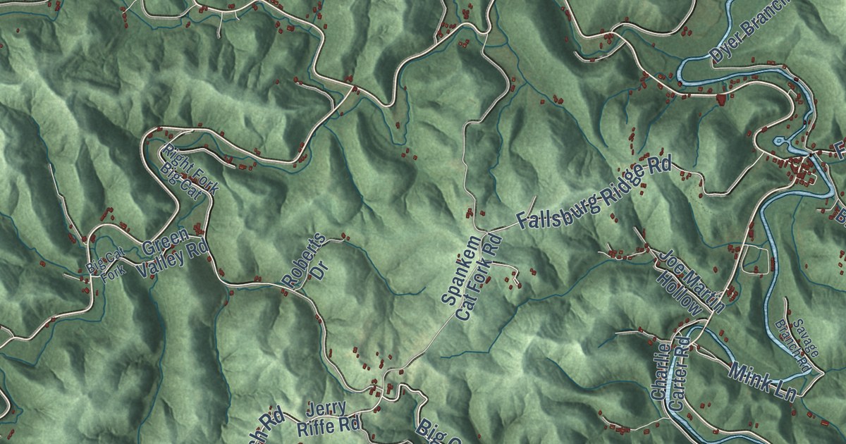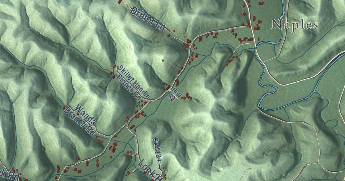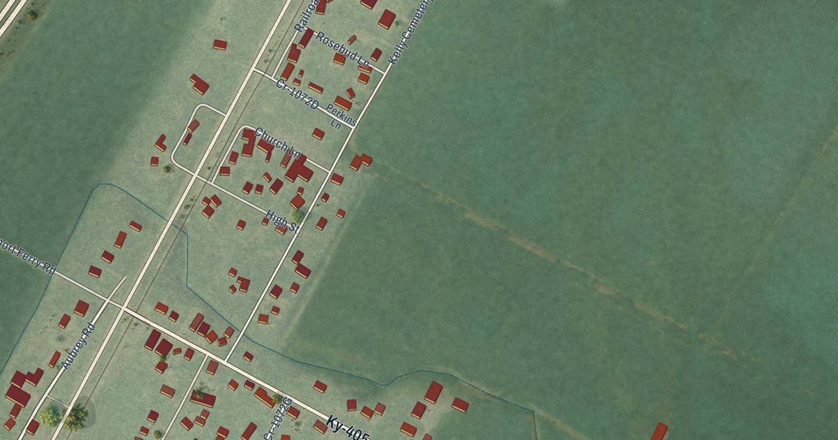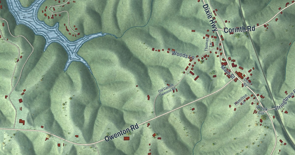
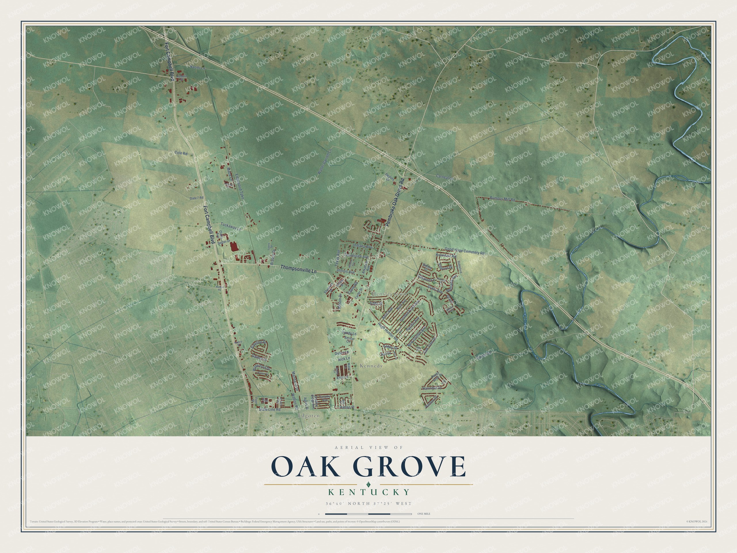
This beautifully detailed map of Oak Grove, Kentucky was created in 2026 using aerial imagery combined with modern topographical, census, street and landmark data. It’s a one-of-a-kind view of Oak Grove that combines accurate data with a vintage aesthetic. The map shows every building in its true location, many of the roads carry their names, and the shaded topographic relief shows the shape of the land.
Explore an aerial view of Oak Grove, Kentucky
On the map you’ll find Edgoten, Kennedy, and Hensleytown, along with Fort Campbell Boulevard, Pembroke Oak Grove Road, Thompsonville Lane, Hugh Hunter Road, State Line Road, Dylan Lane, Bumpus Mill Road, Walter Garrett Lane, Carneal Lane, and more. If you look closely you can even find your house accurately drawn in its correct location. Zoom in on the preview to look for yours.
Did you know this piece of Oak Grove, Kentucky history?
From the Kentucky New Era: "The city of Oak Grove was incorporated on Sept. 24, 1974, and has been known at various times during its history as Edgeton, Hensleytown and Kennedy, in addition to Oak Grove."
Take a closer look at the Oak Grove map
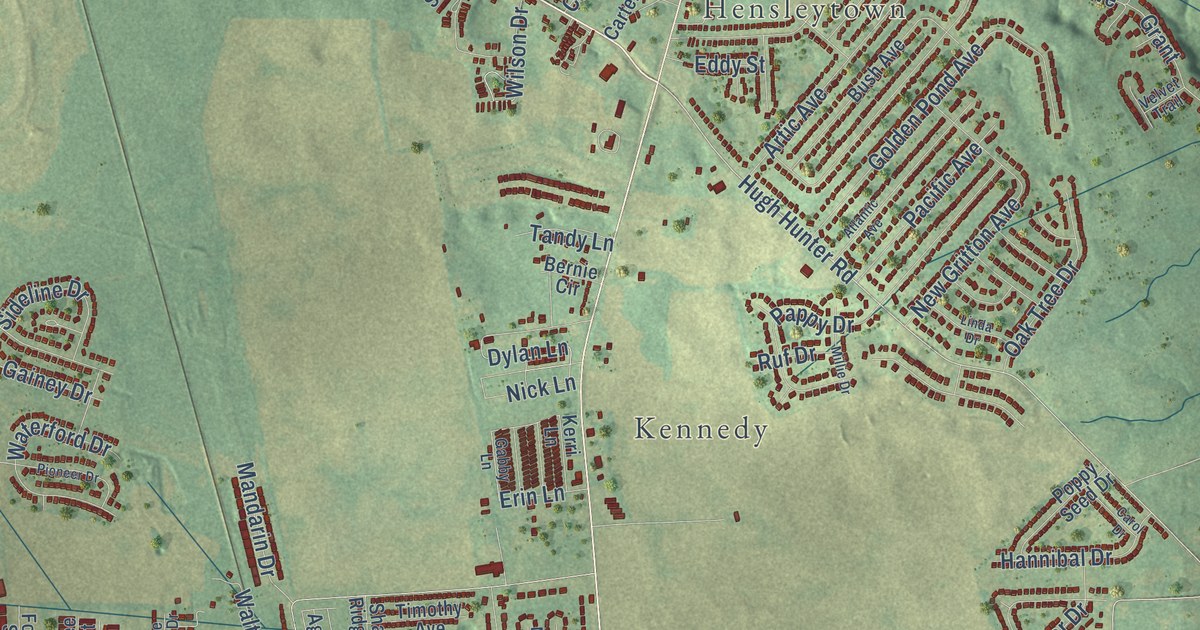
Street and place names on the Oak Grove, Kentucky map
These names are printed on the map of Oak Grove, Kentucky.
Places: Edgoten, Kennedy and Hensleytown.
Streets and roads: Thompsonville Lane, Pembroke Oak Grove Road, Fort Campbell Boulevard, Hugh Hunter Road, Dylan Lane, State Line Road, Walter Garrett Lane, Carneal Lane, Good Hope Cemetery Road, Bumpus Mill Road, Artic Avenue, Golden Pond Avenue.
More street names, A to Z
Agnes Street, Arkansas Avenue, Atlantic Avenue, Auburn Street, Avondale Road, Belew Street, Bernie Circle, Braboy Drive, Bush Avenue, Cable Road, Carol Drive, Carter Road, Carter Street, Claire Avenue, Cole Road, Destiny Drive, Eddy Street, Edgewood Turnpike, Erin Lane, Filmore Drive, Foor Street, Gabby Lane, Gainey Drive, Gate 7 Road, Gleaves Lane, Grant, Grant Avenue, Hannibal Drive, Harbor Drive, Illinois Avenue, Indiana Avenue, Jennifer Street, Kerri Lane, Lee Street, Linda Drive, Lyons Street, Mace Lane, Mandarin Drive, Max Court, Millie Drive, Missouri Avenue, Morgan Road, Nancy Street, Naomi Lane, New Gritton Avenue, Nick Lane, Oak Tree Drive, Pacific Avenue, Pappy Drive, Patton Place, Pioneer Drive, Poppy Seed Drive, Potomac Drive, Ruf Drive, Segler Drive, Shadow Ridge Avenue, Shannon Drive, Shetland Avenue, Sideline Drive, Sidney Court, Stableford Lane, Tandy Lane, Tennessee Avenue, Texas Avenue, Timothy Avenue, Tree Line Drive, Tuckaway Lane, Velvet Trail, Walton Road, Waterford Drive, Wilson Drive.
See the Oak Grove, Kentucky map on a wall
The Oak Grove map as an 18 x 24 inch print in a black frame.

This beautifully detailed map of Oak Grove makes an attractive addition to your office, library, or den, and it can even be used to teach children the geography and history of the area. It also makes a great gift for anyone with Oak Grove roots. When you’re done exploring, click here to get your copy of the Oak Grove map.