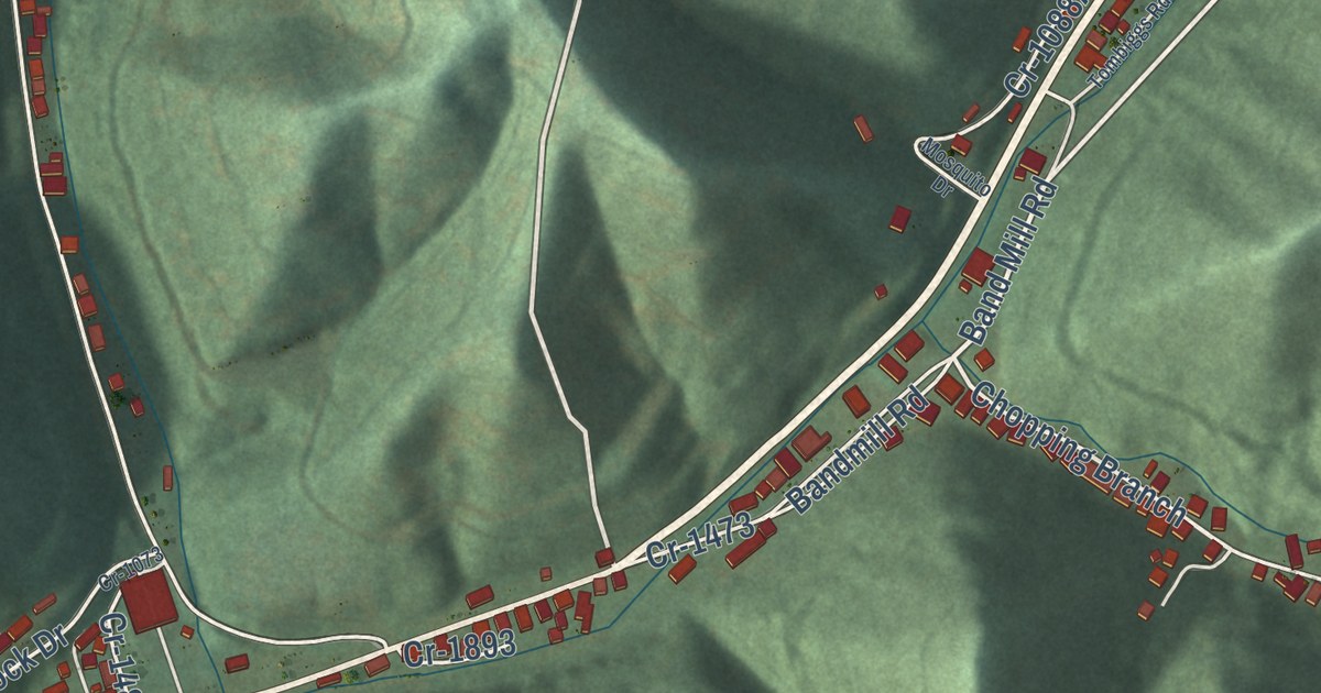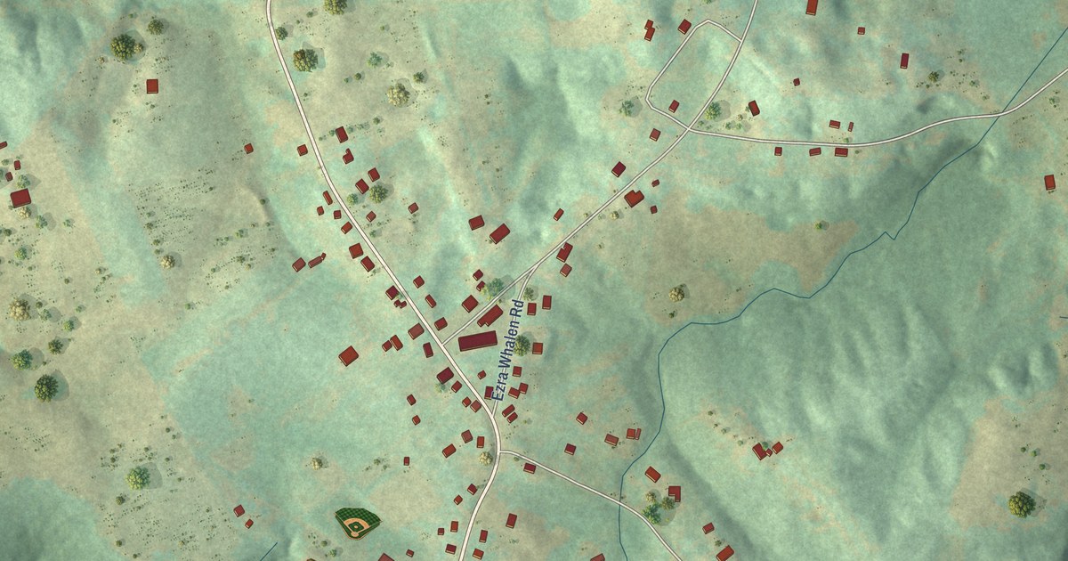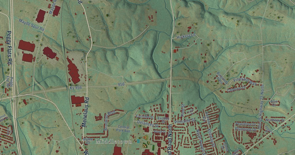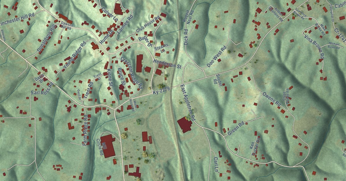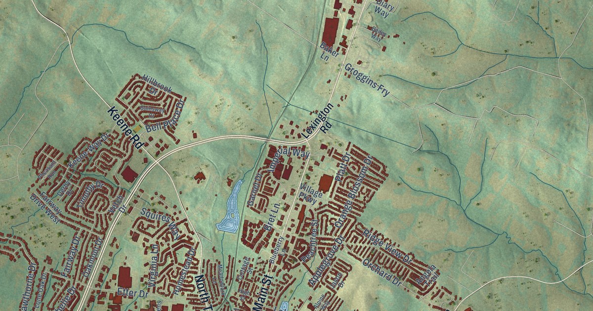
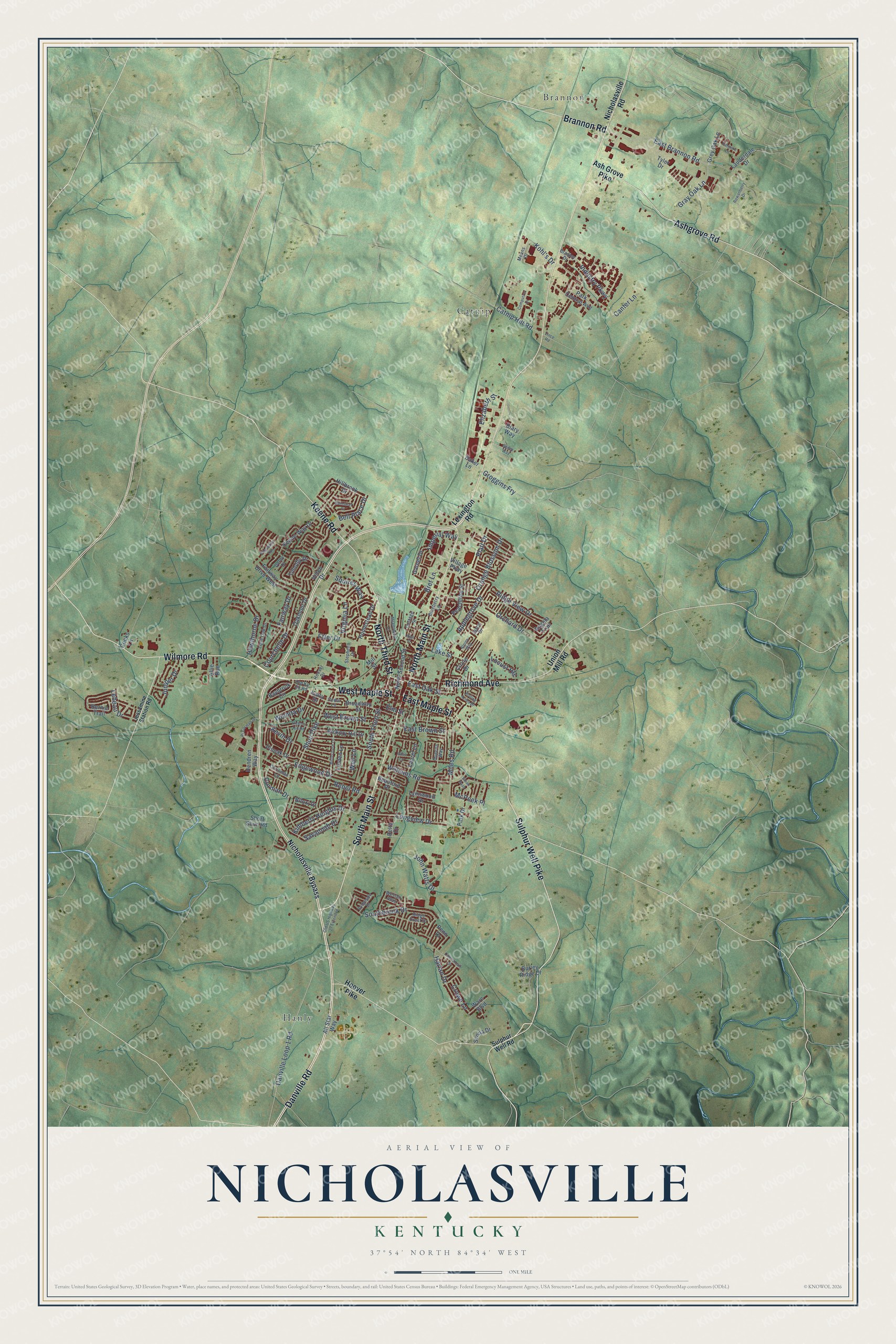
This beautifully detailed map of Nicholasville, Kentucky was created in 2026 using aerial imagery combined with modern topographical, census, street and landmark data. It’s a one-of-a-kind view of Nicholasville that combines accurate data with a vintage aesthetic. The map shows every building in its true location, many of the roads carry their names, and the shaded topographic relief shows the shape of the land.
Explore an aerial view of Nicholasville, Kentucky
On the map you’ll find Brannon, Catnip, and Hanly, along with Danville Road, Wilmore Road, South Main Street, West Maple Street, Brannon Road, North Main Street, Richmond Avenue, Ashgrove Road, Sulphur Well Pike, and more. If you look closely you can even find your house accurately drawn in its correct location. Zoom in on the preview to look for yours.
Did you know this about Nicholasville, Kentucky?
From the Collins History of Kentucky: "In the heart of a fine country, and the terminus of the Kentucky Central railroad, Nicholasville is necessarily a place of considerable business."
Take a closer look at the Nicholasville map
Street and place names on the Nicholasville, Kentucky map
These names are printed on the map of Nicholasville, Kentucky.
Places: Brannon, Catnip and Hanly.
Streets and roads: Danville Road, Wilmore Road, South Main Street, West Maple Street, Brannon Road, North Main Street, Richmond Avenue, Ashgrove Road, Sulphur Well Pike, Keene Road, North Third Street, East Maple Street.
More street names, A to Z
Allie Run, All Star Way, Alpine Way, Angela Trail, Applegrove Drive, Ash Grove Pike, Bailey Way, Baker Lane, Baybrook Circle, Beauford Place, Bellechase Lane, Bell Place Drive, Bernie Trail, Biloxi Drive, Blueberry Lane, Bradley Drive, Bret Lane, Bridgeside Drive, Broadway Street, Burley Ridge Drive, Cannonball Drive, Canter Lane, Catnip Hill Road, Cedar Lane, Chrisman Lane, Circle Drive, Computrex Drive, Cooks Lane, Corman Drive, Cottage Street, Courchelle Drive, Crowe Lane, Danville Loop 1 Road, Delta Drive, Derby Drive, Diary Way, East Brannon Road, East Brown Street, East Oak Street, Edgewood Drive, Elizabeth Street, Elm Street, Etter Drive, Fairway Drive, Fairway Drive West, Gainsway Court, Garnet Drive, Gray Oak Lane, Grey Oak Lane, Groggins Fry, Harlan Drive, Hawthorne Drive, Hendren Way, Hickory Hill Drive, Hickory Hill Road, High Street, Hillbrook Drive, Homestead Drive, Hoover Drive, Hoover Pike, Imperial Way, Industry Parkway, Jason Drive, Jessamine Station Road, John Watts Drive, Juniper Drive, Kalla Drive, Keene-Way Drive, Kevin Drive, Kimberly Heights Drive, Kohl's Drive, Lake Street, Lauderdale Drive, Laurel Lane, Lebeau Drive, Lexington Road, Linden Lane, Locust Heights, Lone Oak Drive, Longview Drive, Lynnwood Drive, McPeek Place, Meadowlark Lane, Means Drive, Miles Road, Mill Street, Nicholasville Bypass, Nicholasville Road, North Second Street, Oakmont Drive, Old Ky 29 Road, Old US Highway 27 Extended, Orange Blossom Drive, Orchard Drive, Park Central Avenue, Park Drive, Patmore Lane, Peachtree Street, Penn Drive, Pheasant Run, Pinoak Drive, Platt Drive, Queens Way, Rebel Road, Ridge Crest Drive, Ridge View Drive, Rj Corman Drive, Rolling Acres Drive, Rose Lane, Rowanberry Drive, Savannah Drive, Senna Drive, Short Shun Road, Shun Pike, Southbrook Drive, South Third Street, Squires Way, Steen Pass, Stephens Drive, Sulphur Well Road, Timothy Drive, Tyler Drive, Union Mill Road, Vetch Drive, Village Parkway, Vince Road, Virginia Lane, Ware Boulevard, Weil Lane, Weslyn Way, West Brown Street, Wichita Drive, Williams Road.
See the Nicholasville, Kentucky map on a wall
The Nicholasville map as an 18 x 24 inch print in a black frame.

This beautifully detailed map of Nicholasville makes an attractive addition to your office, library, or den, and it can even be used to teach children the geography and history of the area. It also makes a great gift for someone who left Nicholasville and still calls it home. When you’re done exploring, click here to get your copy of the Nicholasville map.