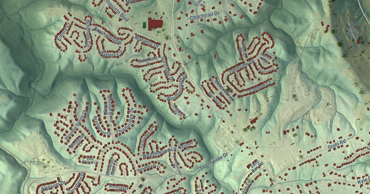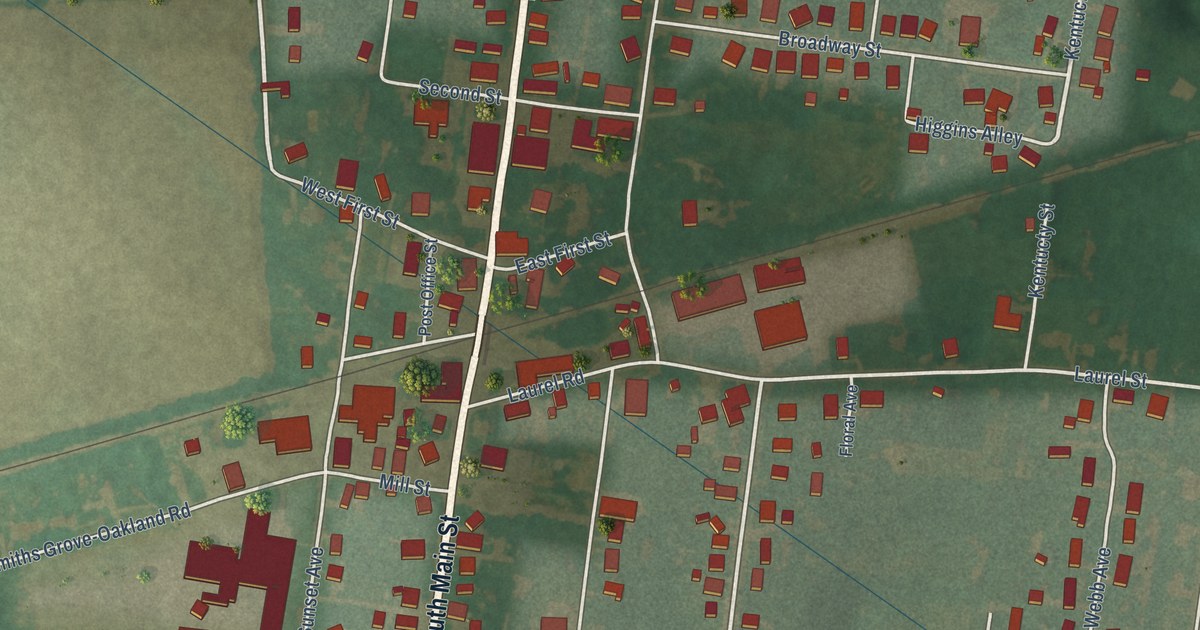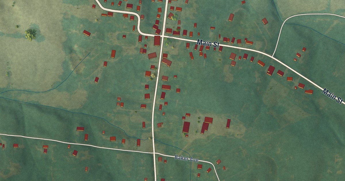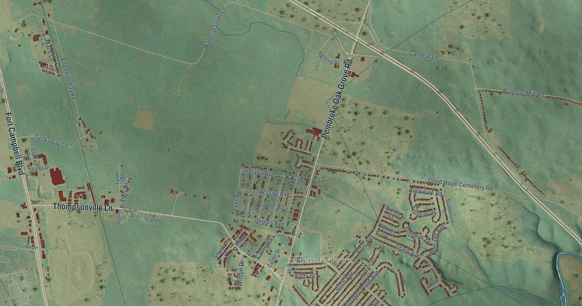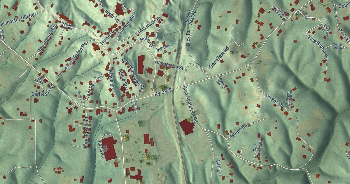
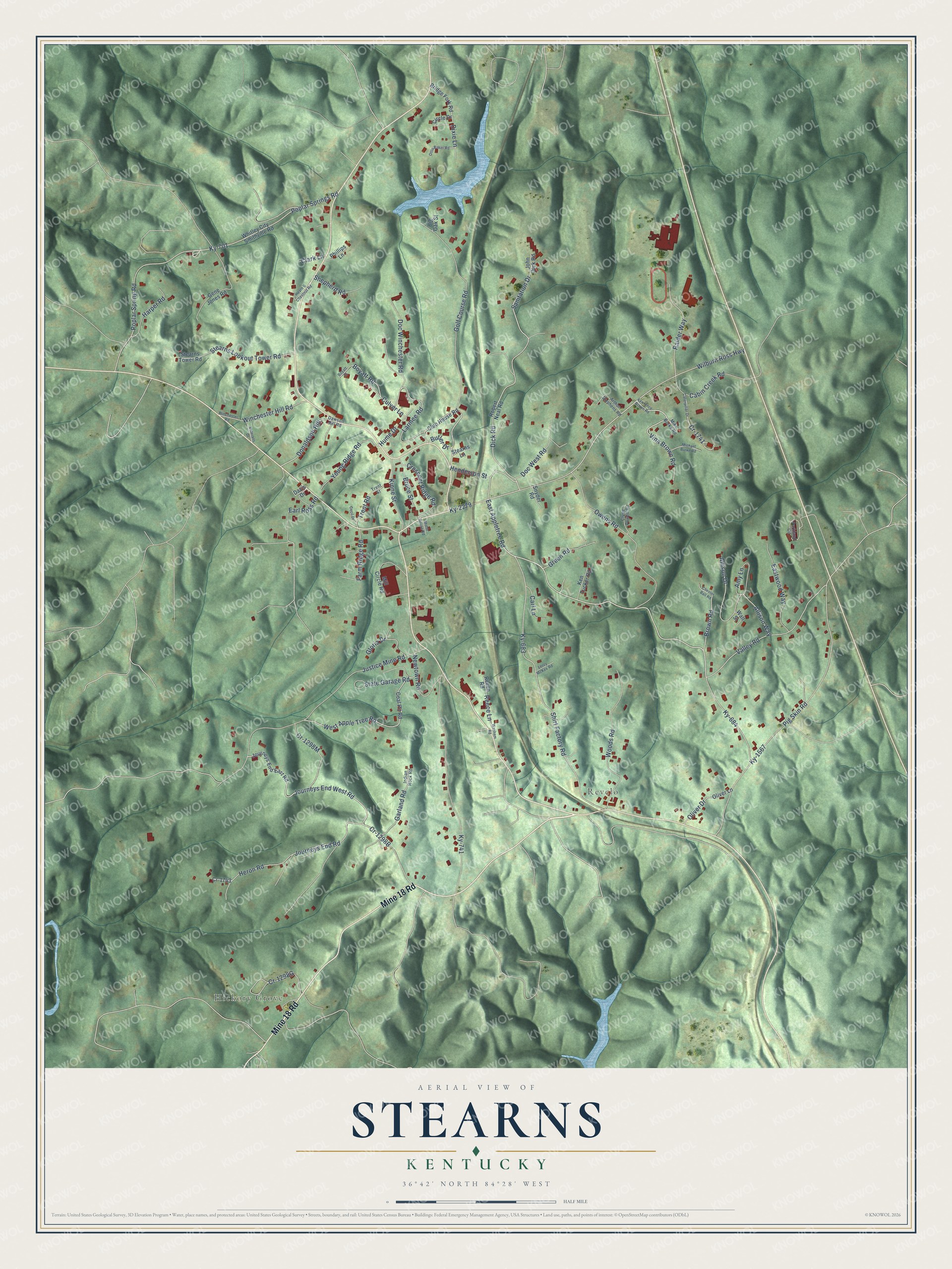
This beautifully detailed map of Stearns, Kentucky was created in 2026 using aerial imagery combined with modern topographical, census, street and landmark data. It's a modern aerial view of Stearns in McCreary County, Kentucky, that combines modern data with a vintage aesthetic. The roads feature printed names, and if you look closely you can find your exact house accurately shown in its correct location.
Explore an aerial view of Stearns, Kentucky
On this map you'll find Hickory Grove, Revelo, Mine 18 Road, Golf Course Road, Butler Drive, Earl Ross Road, East Appletree Road, Wilburn Ross Highway, Journeys End West Road, Dick Road, Donaldson Hill, Journeys End Road, and more. Each red shape is a building, so zoom in on the preview and look for yours.
Stearns is a community in McCreary County. The Census Bureau counted 1,365 people here in 2020. Stearns sits about 2 miles south of Whitley City, 3 miles northwest of Pine Knot and 17 miles west of Williamsburg. The map prints the town name in its title panel, with the coordinates below it.
Take a closer look at the Stearns map
Names on this map
These names are printed on this map.
Places: Hickory Grove and Revelo.
Streets and roads: Mine 18 Road, Golf Course Road, Butler Drive, Earl Ross Road, East Appletree Road, Wilburn Ross Highway, Journeys End West Road, Dick Road, Donaldson Hill, Journeys End Road, Ky-684, Ky-2279.
More street names, A to Z
Allison Drive, Allison Way, Amy Lane, Arthur Stephens Road, Big Oak Street, Boyatt Road, Boyatt Street, Bridge Fork Road, Brown Road, Bruce Street, Cabin Creek Road, Carl Lane, Caterpillar Drive, Cecil Drive, Chester Ball Road, Circle Drive, Clark Lane, Club House Road, Clupe Powell Road, Coal Pit Road, Cr-1741, Cr-1743, Crescent Ridge Road, Culver Lane, Davis Drive, Dawson Hill Road, Dixie Lane, Doc West Road, Doc Winchester Road, Eastwood Way, Farm Ridge Road, Garland Road, Gene Jones Road, Gloria Drive, Green Road, Harper Road, Heath & Chestnut Road, Henderson Street, Heron Road, Hume Drive, Indian Rock Road, John Dick Road, Journeys End East Road, Justice Mine Road, Ken Tucker Road, Kinne Street, Ky-683, Ky-701, Ky-741, Ky-1567, Larmee Road, Lawrence Brown Road, Leroy McKee Road, Michael Burke Road, Mike Burke Road, Mill Circle Road, Motor House Road, Newtown Road, Oliver Drive, Oliver Lane, Ottis Baker Road, Owens Road, Parkland Circle, Phillips Lane, Pig Skin Road, Poplar Spring Road, Poplar Springs Road, Raider Way, Reece Lane, Reece Road, Robert Neal Road, Sanitation Drive, Shepherd Road, Shirt Factory Road, Snyder Road, State Garage Road, Stearns Lane, Stearns Lookout Tower Road, Stearns Tower Road, Trent Road, Trent Street, Valley Road, Veterans Drive, Vina Brown Road, Wall Street, Washam Road, West Apple Tree Road, Whitley City - Smithville Road, Winchester Hill Road, Winchester Road, Woods Road, Young Ridge Road.
See it on a wall
The Stearns map as a framed print. Swipe for more.


Created by KNOWOL in 2026. The buildings are small red shapes, the roads carry their printed names, and shaded relief shows the shape of the land. The title panel reads "AERIAL VIEW OF STEARNS, KENTUCKY" with 36°42' NORTH 84°28' WEST.
It suits a den, a classroom or a front hall, and it makes a gift for anyone with Stearns roots. Open the preview and find the block you know. See sizes and frames for the Stearns map.