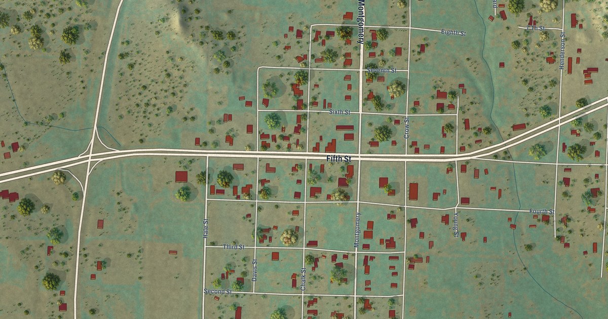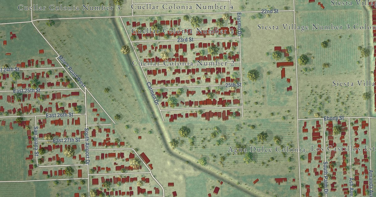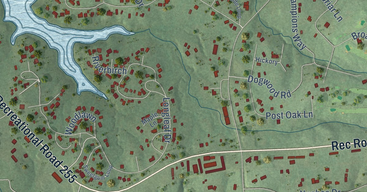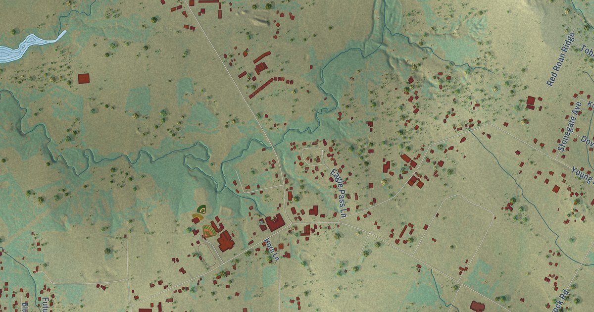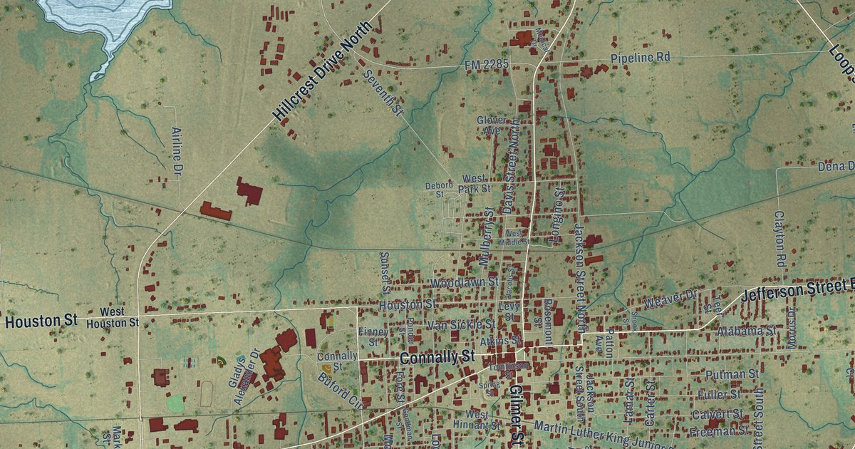
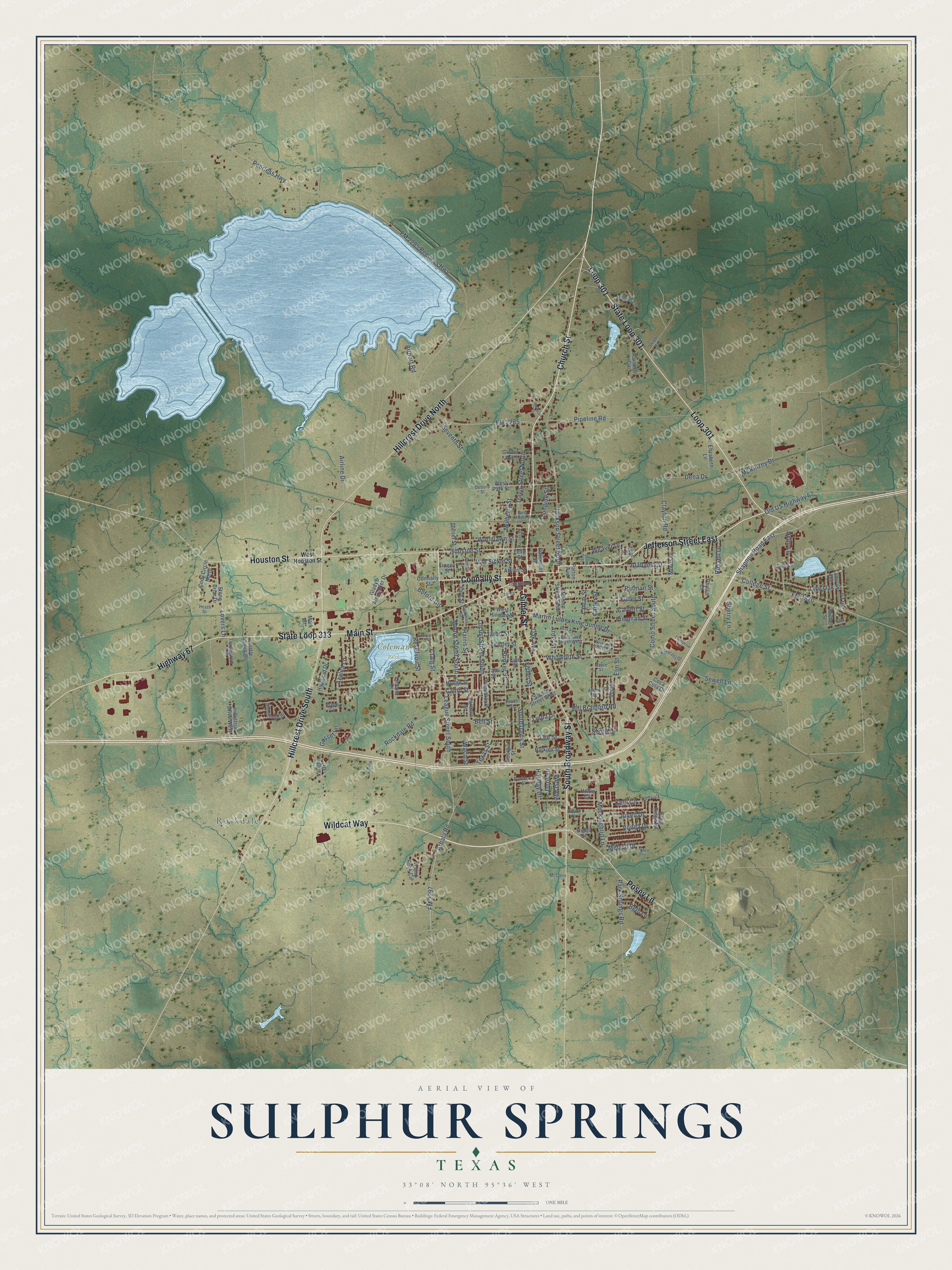
This beautifully detailed map of Sulphur Springs, Texas was created in 2026 using aerial imagery combined with modern topographical, census, street and landmark data. It’s a one-of-a-kind view of Sulphur Springs that combines accurate data with a vintage aesthetic. The map shows every building in its true location, many of the roads carry their names, and the shaded topographic relief shows the shape of the land.
Explore an aerial view of Sulphur Springs, Texas
On the map you’ll find Rockdale, Coleman Park, and Loop 301, along with State Loop 301, Jefferson Street East, Connally Street, Gilmer Street, State Loop 313, Church Street, Main Street, South Broadway Street, Houston Street, and more. If you look closely you can even find your house accurately drawn in its correct location. Zoom in on the preview to look for yours.
Did you know this piece of Sulphur Springs, Texas history?
From the Handbook of Texas: "The town was originally known as Bright Star when stores and a hotel were first built at the site, which had become a popular camping place for teamsters hauling commodities west from Jefferson."
Take a closer look at the Sulphur Springs map
Street and place names on the Sulphur Springs, Texas map
These names are printed on the map of Sulphur Springs, Texas.
Places: Rockdale and Coleman Park.
Streets and roads: State Loop 301, Jefferson Street East, Connally Street, Gilmer Street, State Loop 313, Loop 301, Church Street, Hillcrest Drive North, Main Street, South Broadway Street, Houston Street, Hillcrest Drive South.
More street names, A to Z
Airline Drive, Airport Road, Alabama Street, Alamo Street, Arbala Road, Ardis Street, Atkins Street, Azalea Lane, Barbara Street, Beasley Street, Beckham Street East, Beckham Street West, Bell Street, Bergin Street, Beth Lane, Bill Bradford Road, Brandy Circle, Brinker Street, Buford Circle, Cadi Lane, Calvert Street, Camp Street, Carter Street, Clayton Road, Coca Cola Drive, Cody Circle North, College Street, Como Street South, Craig Ridge Road, Craig Street, Davidson Street, Davis Street North, Debord Street, Dena Drive, Doris Drive, Drexel Drive, Elizabeth Lane, Elm Street, Enterprise Drive, Finney Street, Fisher Street, FM 1870, FM 2285, FM 2285 Peerless Highway, FM 2297, Fore Street, Freeman Street, Fuller Street, Gail Drive, Gena Drive, Georgia Street, Gladys Alexander Drive, Glover Avenue, Goodman Street, Gosset Lane, Harris Street, Heath Street, Helm Lane, Highland Drive, Highway 67, Hines Drive, Hodge Street, Holiday Drive, Hollie Circle, Industrial Drive West, Jackson Street North, Jackson Street South, Jacobs Street, Jarbo Street, Jennifer Lane, Jill Lane, Junell Drive, Kelli Circle, Kyle Street, Lamar Street, League Street South, Lee Street, Lemon Drive, Levy Street, Lincoln Drive, Linda Drive, Live Oak Street, Locust Street South, Longino Street, Lou Avenue, Lovers Lane, Majors, Maple Street, Mark Street, Martin Luther King Junior Drive, McCann, McKinzey Drive, Medical Drive, Merrell Drive, Michel Street, Mockingbird Lane, Moore Street South, Morris Drive, Mulberry Street, Oak Avenue, Oakwood Drive, Old US Highway 67, Parkins Street, Park Springs Road, Patton Avenue, Peach Street, Peerless Highway, Phyllis Court, Pipeline Road, Ponder Street, Posey Lane, Putman Street, Raintree Circle, Reservoir Street, Rockdale Road, Rosemont Street, Ross Street, Round Rock Circle, Russell Drive, Seventh Street, Sewell Lane, Shannon Road East, Sherry Lane, Shiloh Road, Shook Street, South Davis Street, Spence Street West, Spring Street, Sprite Drive, Stone Briar Drive, Sunset Street, Tanglewood Terrace, Tate Street, Teer Street, Texas Street, Tomlinson Street, Turtle Creek Drive, Van Sickle Street, Vaughn Drive, Veterans Drive, Vonda Drive, Waco Street, Weaver Drive, West Avenue, Westbrook Circle, West Hinnant Street, West Houston Street, West Middle Street, West Park Street, Whitworth Street, Wildcat Way, Woodbridge Drive, Woodlawn Street.
See the Sulphur Springs, Texas map on a wall
The Sulphur Springs map as an 18 x 24 inch print in a black frame.

This beautifully detailed map of Sulphur Springs makes an attractive addition to your office, library, or den, and it can even be used to teach children the geography and history of the area. It also makes a great gift for anyone with Sulphur Springs roots. When you’re done exploring, click here to get your copy of the Sulphur Springs map.