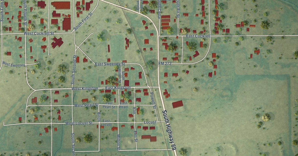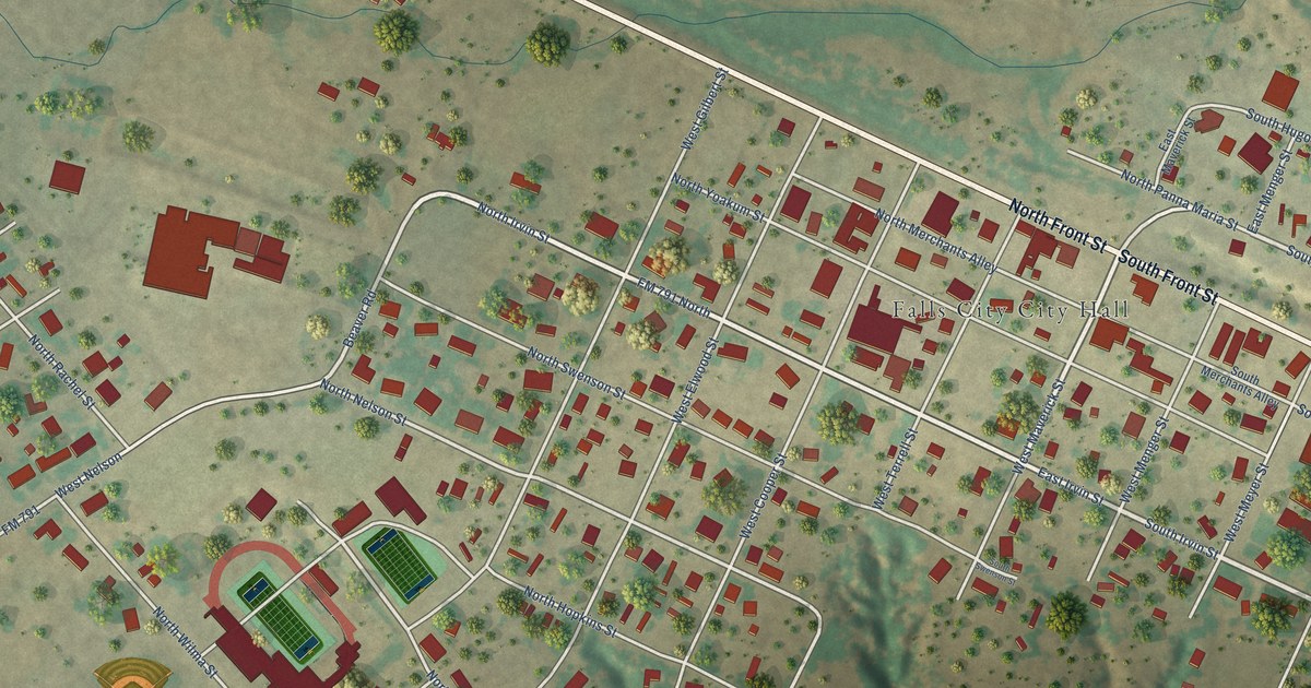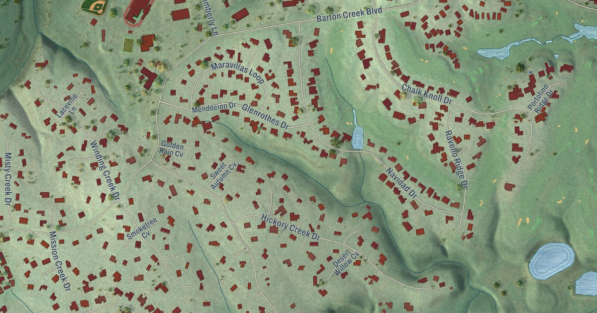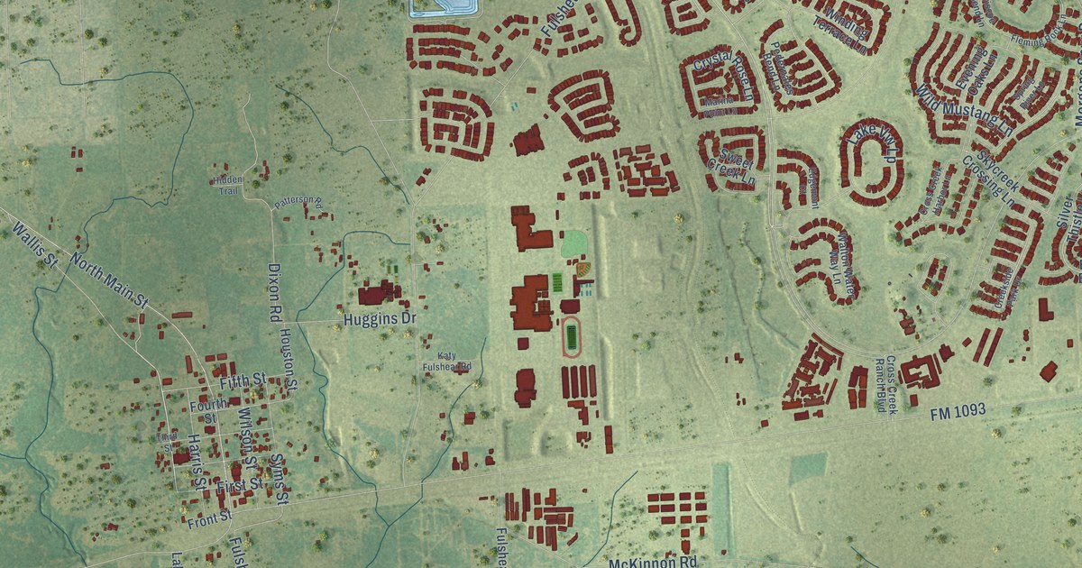
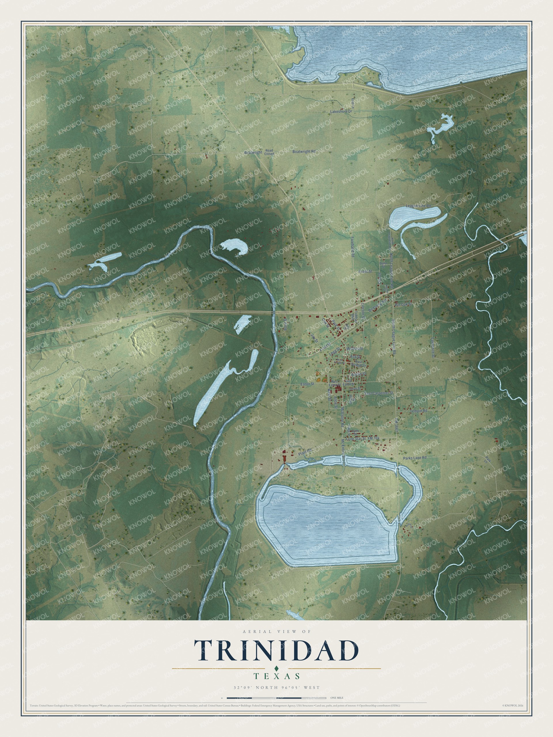
This beautifully detailed map of Trinidad, Texas was created in 2026 using aerial imagery combined with modern topographical, census, street and landmark data. It’s a one-of-a-kind view of Trinidad that combines accurate data with a vintage aesthetic. The map shows every building in its true location, many of the roads carry their names, and the shaded topographic relief shows the shape of the land.
Explore an aerial view of Trinidad, Texas
On the map you’ll find Boatwright, along with Park Street, FM 764, McEntire Road, Lone Star Street, Forehand Road, Plant Road, North League Line Road, West Street, Boatwright Road, FM 1667, South League Line Road, and more. If you look closely you can even find your house accurately drawn in its correct location. Zoom in on the preview to look for yours.
Did you know this piece of Trinidad, Texas history?
Around 1840, O. M. Airhart operated a ferry over the Trinity River here. By 1844 a general store and a saloon stood at the spot, then called Trinity Switch. The railroad came in 1880. That year the name changed to Trinidad, the river’s original name, because another post office already used Trinity Switch.
Take a closer look at the Trinidad map
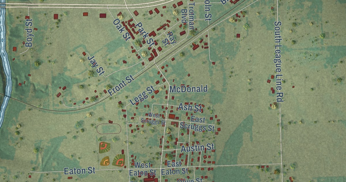
Street names on the Trinidad, Texas map
These names are printed on the map of Trinidad, Texas.
Streets and roads: Park Street, FM 764, McEntire Road, Lone Star Street, Forehand Road, Plant Road, North League Line Road, West Street, Boatwright Road, FM 1667, Boatwright, South League Line Road.
More street names, A to Z
Alice Street, Ash Street, Austin Street, Birdsong Avenue, Boyd Street, Church, Dunn Street, East Carpenter Street, East Eaton Street, East Lane, East Scruggs Street, Eaton Street, Evant Street, Flagg Street, Front Street, Jay Street, Lakeshore Drive, Lawrence Street, League Line Road, Legg Street, Lincoln Street, Lynn Street, McDonald, Mc Entire Street, Nadine Street, Nannie Street, North Leagueline Road, Oak Street, Olive Street, Park Lane, Parks Lane Road, Peach Street, Pin Oak Street, Ray Street, Road Closed, Tempie Road, Trotman Boulevard, West Eaton Street, West Scruggs Street.
See the Trinidad, Texas map on a wall
The Trinidad map as an 18 x 24 inch print in a black frame.

This beautifully detailed map of Trinidad makes an attractive addition to your office, library, or den, and it can even be used to teach children the geography and history of the area. It also makes a great gift for anyone with Trinidad roots. When you’re done exploring, click here to get your copy of the Trinidad map.