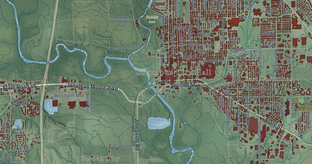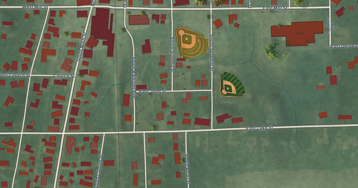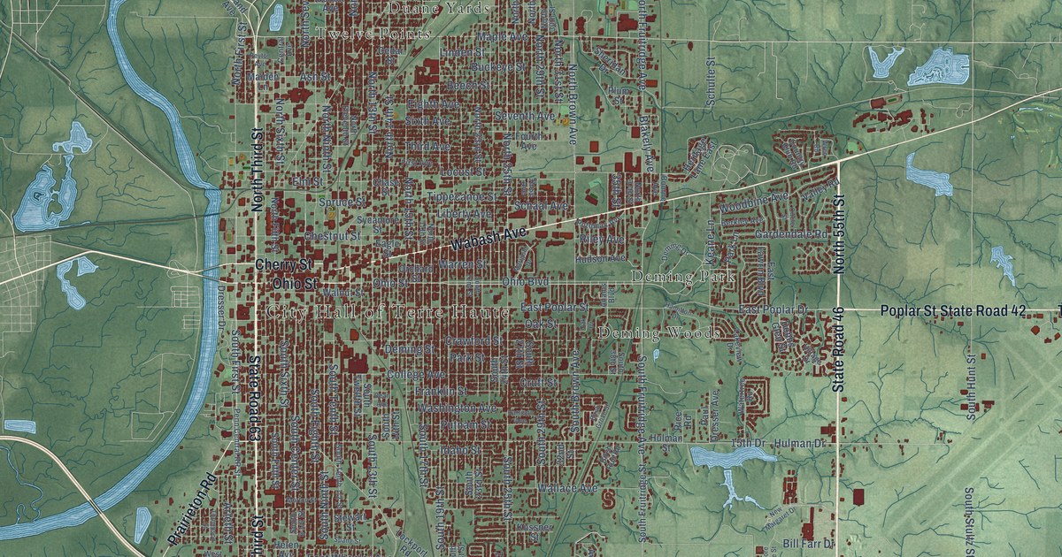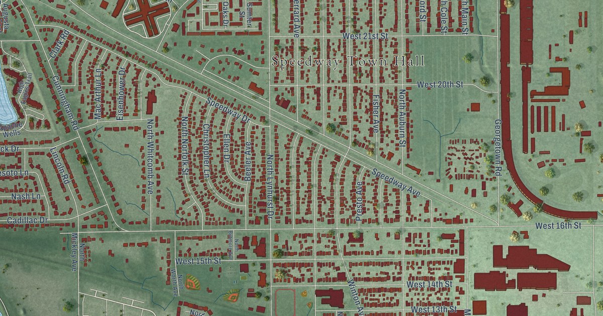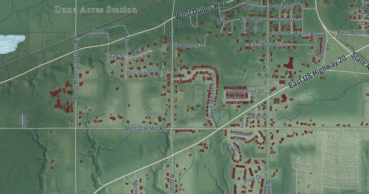
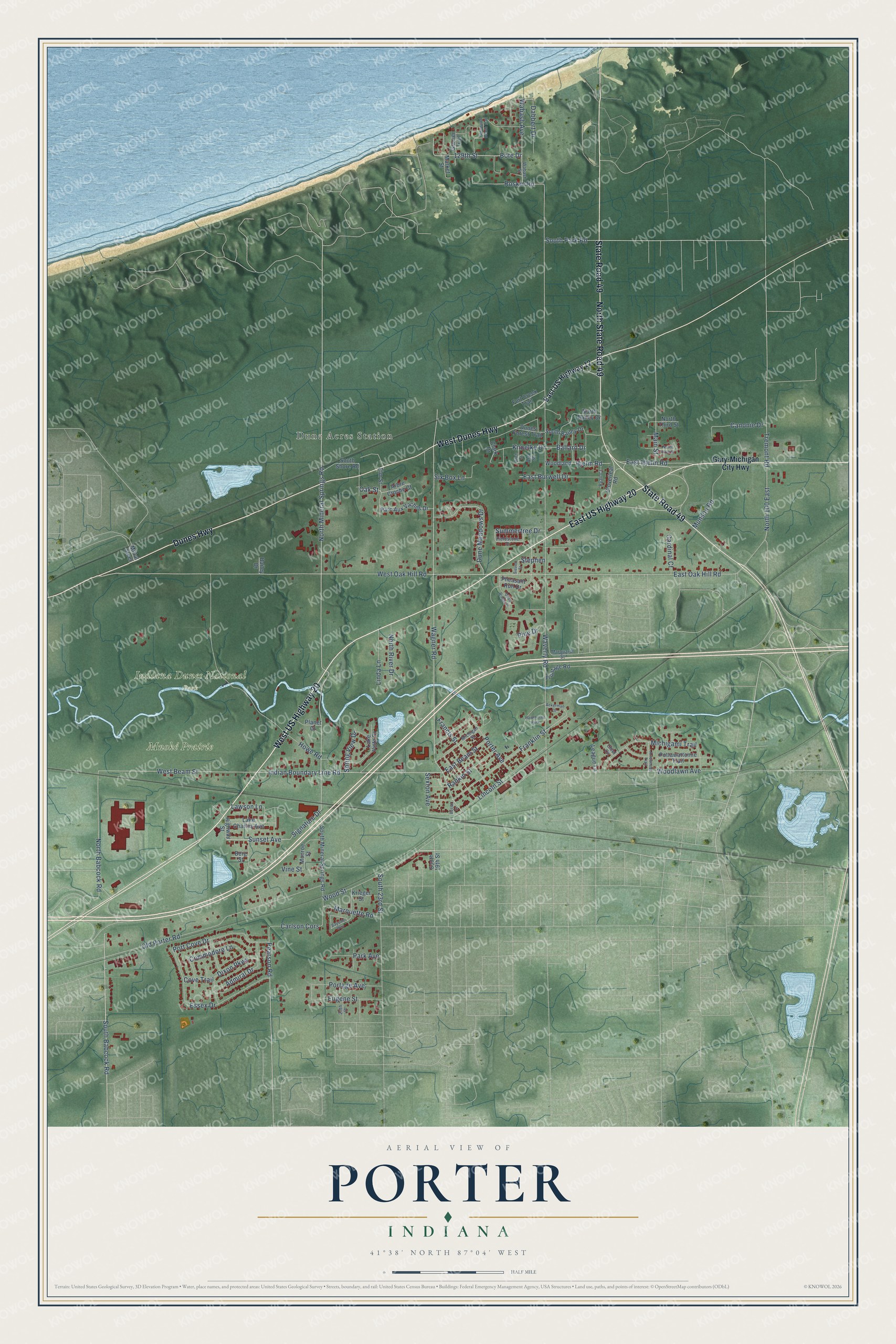
This beautifully detailed map of Porter, Indiana was created in 2026 using aerial imagery combined with modern topographical, census, street and landmark data. It's a modern aerial view of Porter in Porter County, Indiana, that combines modern data with a vintage aesthetic. The roads feature printed names, and if you look closely you can find your exact house accurately shown in its correct location.
Explore an aerial view of Porter, Indiana
On this map you'll find Indiana Dunes National Park, Mnoké Prairie, Dune Acres Station, West US Highway 20, East US Highway 20, North State Road 49, State Road 49, Dunes Highway, West Dunes Highway, South Babcock Road, North Mineral Springs Road, Signature Drive, and more. Each red shape is a building, so zoom in on the preview and look for yours.
Porter is a town in Porter County. The Census Bureau counted 5,210 people here in 2020. The map prints the town name in its title panel, with the coordinates below it.
Take a closer look at the Porter map
Names on this map
These names are printed on this map.
Places: Indiana Dunes National Park, Mnoké Prairie, Dune Acres Station and Hawthorne Park.
Streets and roads: West US Highway 20, East US Highway 20, North State Road 49, State Road 49, Dunes Highway, West Dunes Highway, South Babcock Road, North Mineral Springs Road, Signature Drive, Wabash Avenue, Wagner Road, North Babcock Road.
More street names, A to Z
25th Place, 129th Street, Ackerman Drive, Admiral Drive, Arbre Croche Court, Arrowhead Trail, Ash Street, Bailey Drive, Ballard Drive, Bayside Way, Berg Street, Birch Street, Bote Drive, Busse Street, Canonie Drive, Cardinal Court, Carlson Cors, Chief Circle, Clark Drive, Cloverleaf Road, Commodore Lane, Cove Trail, Dabbert Drive, Dixon Parkway, Dune Meadows Drive, Dunes Forest Trail, East Beam Street, East Burwell Drive, East Hjelm Road, East Oak Hill Road, East US Highway 12, Elm Street, Essex Drive, Eugene Street, Fieldstone Drive, Fort Creek Trail, Francis Street, Franklin Street, Frontage Road, Gary-Michigan City Highway, Glacier Trail, Glenwood Beach Trail, Highway Street, Hjelm Road, Howe Road, Indian Boundary Line Road, Knoelke Drive, Krieger Street, Lake Charles Avenue, Lake Vista Drive, Lawson Lane, League Lane, Lincoln Street, Linda Lane, Main Street, Market Street, Marquardt Street, Marquette Road, Michigami Trail, Michigan Street, Mittal Steel, Monroe Street, Munson Road, North 100 East, North Bailey Drive, North First Street, North River Drive, North Third Street, Oak Street, Old Porter Road, Parc Aux Vaches Drive, Park Avenue, Pearson Road, Pheasant Run Drive, Pine Drive, Planet Court, Portage Avenue, Port Cove Drive, Porter Avenue, Pottawattomie Trail, Quail Ridge Drive, Rankin Street, Roskin Road, Ryan Court, Sexton Avenue, Sievert Street, Six Box Lane, South 19th Street, South 23rd Street, South Bailey Drive, South Mineral Springs Road, South Park Road, South Shore Road, Spring View Drive, Stephen, Summertree Drive, Sunset Avenue, Tremont Road, Vine Street, Wabash Street, Waverly Road, West Beam Street, West Oak Hill Road, Woodland, Woodlawn Avenue, Wood Street.
Created by KNOWOL in 2026. The buildings are small red shapes, the roads carry their printed names, and shaded relief shows the shape of the land. The title panel reads "AERIAL VIEW OF PORTER INDIANA" with 41°38' NORTH 87°04' WEST.
It suits a den, a classroom or a front hall, and it makes a gift for anyone with Porter roots. Open the preview and find the block you know. See sizes and frames for the Porter map.