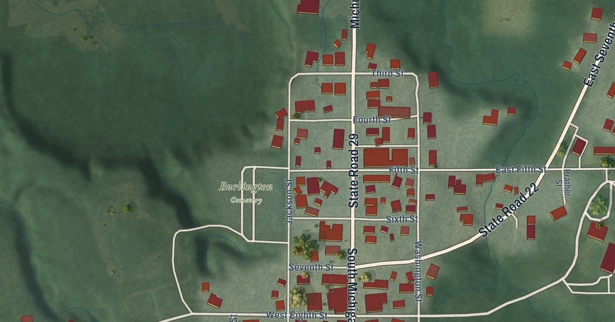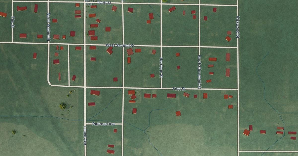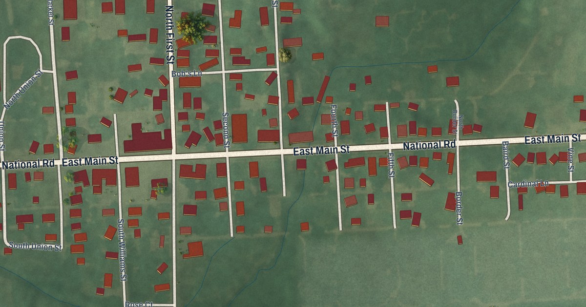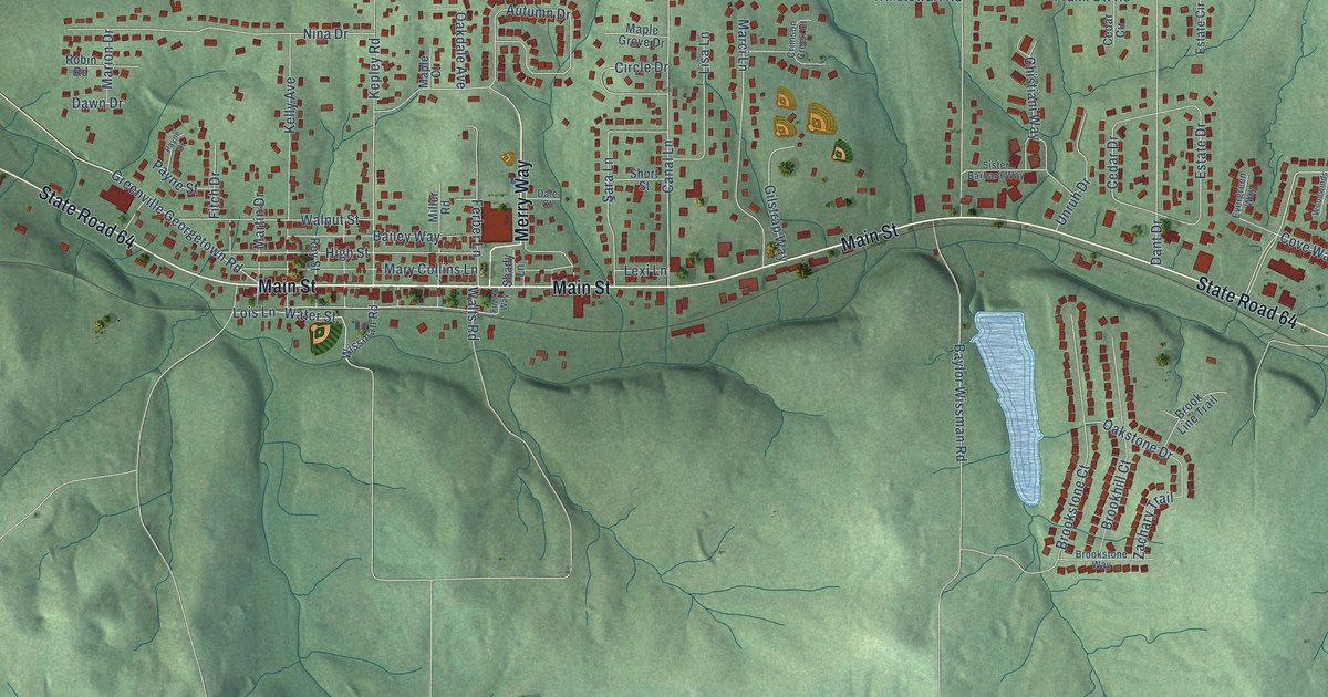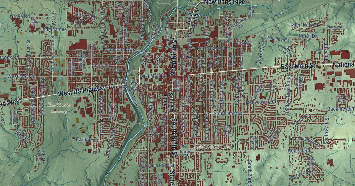
This beautifully detailed map of Richmond, Indiana was created in 2026 using aerial imagery combined with modern topographical, census, street and landmark data. It’s a one-of-a-kind view of Richmond that combines accurate data with a vintage aesthetic. The map shows every building in its true location, many of the roads carry their names, and the shaded topographic relief shows the shape of the land.
Explore an aerial view of Richmond, Indiana
On the map you’ll find East Haven, South Richmond, Greenwood, and Earlham Cemetery, along with West US Highway 40, East Main Street, National Road East, South Ninth Street, North Ninth Street, Chester Boulevard, New Paris Pike, State Road 227, and more. If you look closely you can even find your house accurately drawn in its correct location. Zoom in on the preview to look for yours.
Did you know this piece of Richmond, Indiana history?
From the 1884 History of Wayne County, Indiana: "The Friends had the first and for a long time the only denominational schools in this town and county."
Take a closer look at the Richmond map
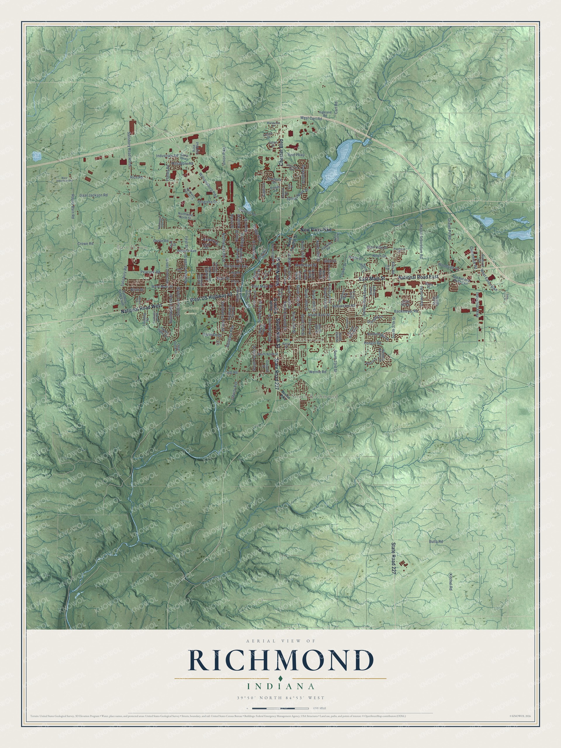
Street and place names on the Richmond, Indiana map
These names are printed on the map of Richmond, Indiana.
Places: East Haven, South Richmond, Greenwood and Earlham Cemetery.
Streets and roads: West US Highway 40, East Main Street, National Road East, South Ninth Street, North Ninth Street, Chester Boulevard, New Paris Pike, State Road 227, National Road West, Garwood Road, Hayes Arboretum Road, South 16th Street.
More street names, A to Z
Abington Pike, Backmeyer Road, Birch Drive, Boston Pike, Boyer Street, Breckenridge Drive, Bridge Avenue, Bulla Road, Capri Lane, Cart Road, Central Drive, Clear Creek Lane, Commerce Road, Court Road, Crestdale Drive, Crowe Road, Dana Parkway, Davis Place, Dillon Drive, Dorothy Lane, Earlham Drive, East Drive, Elks Road, Elmhurst Drive, Elm Road, First, First Street, Flatley Road, Forest Hills Boulevard, Fort Wayne Avenue, Fry Lane, Gaar Jackson Road, Glen Court, Glen Hills Drive, Grace Drive, Gravel Pit Road, Grove Road, Harris Street, Hawkins Road, Henley Road South, Hickory Drive, Hidden Valley Drive, Highland Road, Hillcrest Avenue, Hodgin Road, Holsapple Road, Hunters Pointe Drive, Hunt Street, Indiana Avenue, Industrial Parkway, Industries Road, Kensington Drive, Keyser Lane, Kinsey Street, Kitchel Road, Liberty Avenue, Lincoln Street, Locust Drive, Lower Drive, Mendelson Drive, Middle Drive, North 14th Street, North 15th Street, North 17th Street, North 19th Street, North 20th Street, North 22nd Street, North 24th Street, North 30th Street, North Drive, North East Street, North Eighth Street, North Eleventh Street, North Third Street, North Twelfth Street, Northwest 13th Street, Northwest 18th Street, Northwest 20th Street, Northwest Eighth Street, Northwest Eleventh Street, Northwest Fifth Street, Northwest North Street, Northwest Second Street, Northwest Seventh Street, Northwest Tenth Street, Oakland Street, Old National Road East, Parkdale Drive, Parry Street, Peacock Road, Pearl Street, Pinehurst Drive, Progress Drive, Quail Hill Drive, Ratliff Street, Reeveston Road, Reid Parkway, Richmond Avenue, Rich Road, Ridge Street, Rose City Boulevard, Round Barn Road, Salisbury Road, Salisbury Road North, Salisbury Road South, Sheridan Street, Sim Hodgin Parkway, South 13th Street, South 14th Street, South 15th Street, South 17th Street, South 18th Street, South 19th Street, South 21st Street, South 22nd Street, South 23rd Street, South 24th Street, South 27th Street, South 32nd Street, South 37th Street, South 48th Street, Southeast Parkway, South East Street, South Eighth Street, South Eleventh Street, South Fifth Street, South First Street, South Fourth Street, South North Street, South Seventh Street, South Sixth Street, South Tenth Street, South Third Street, South Twelfth Street, Southwest 15th Street, Southwest 17th Street, Southwest 21st Street, Southwest Fifth Street, Southwest First Street, Southwest Third Street, Starr Street, State Line Drive, Sylvan Nook Drive, Test Road, Third Street, Toschlog Road, Union Pike, University Boulevard, Waterfall Road, Waverly Drive, Wernle Road, West Cart Road, West Eaton Pike, West Industries Road, West Main Street, Williamsburg Pike, Woodside Drive.
See the Richmond, Indiana map on a wall
The Richmond map as an 18 x 24 inch print in a black frame.

This beautifully detailed map of Richmond makes an attractive addition to your office, library, or den, and it can even be used to teach children the geography and history of the area. It also makes a great gift for anyone with Richmond roots. When you’re done exploring, click here to get your copy of the Richmond map.