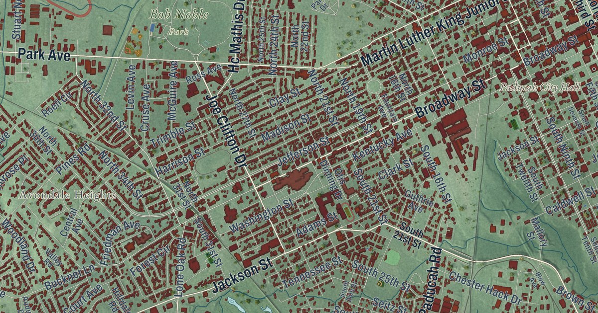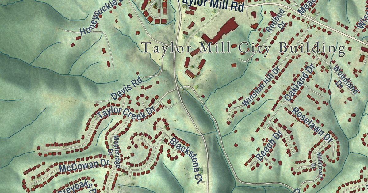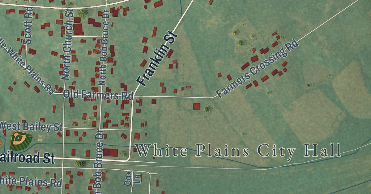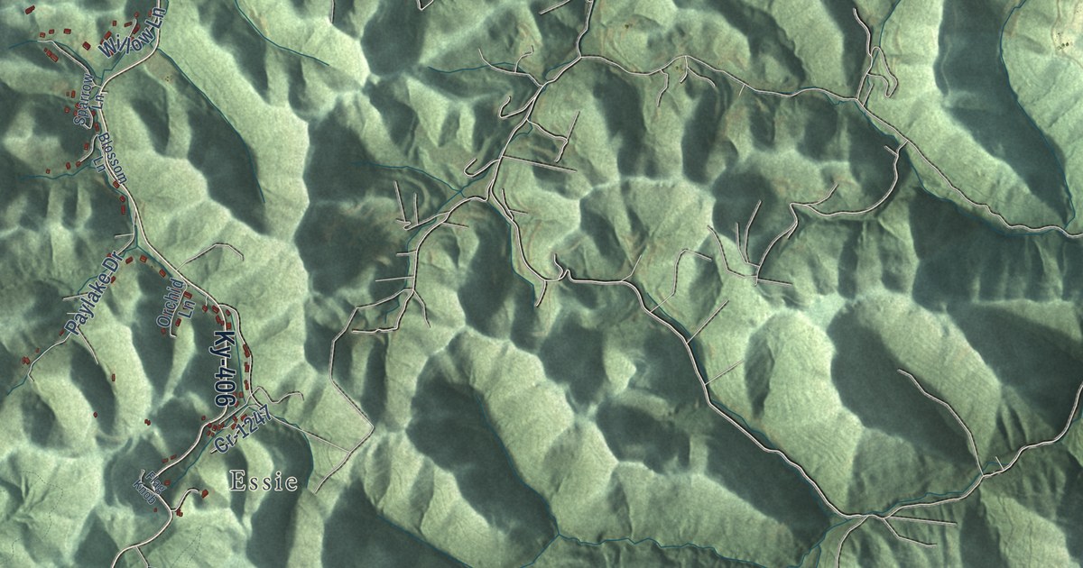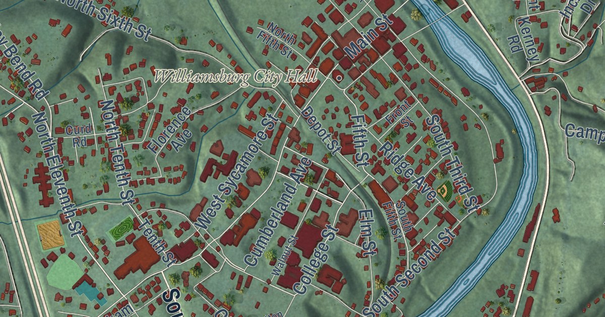
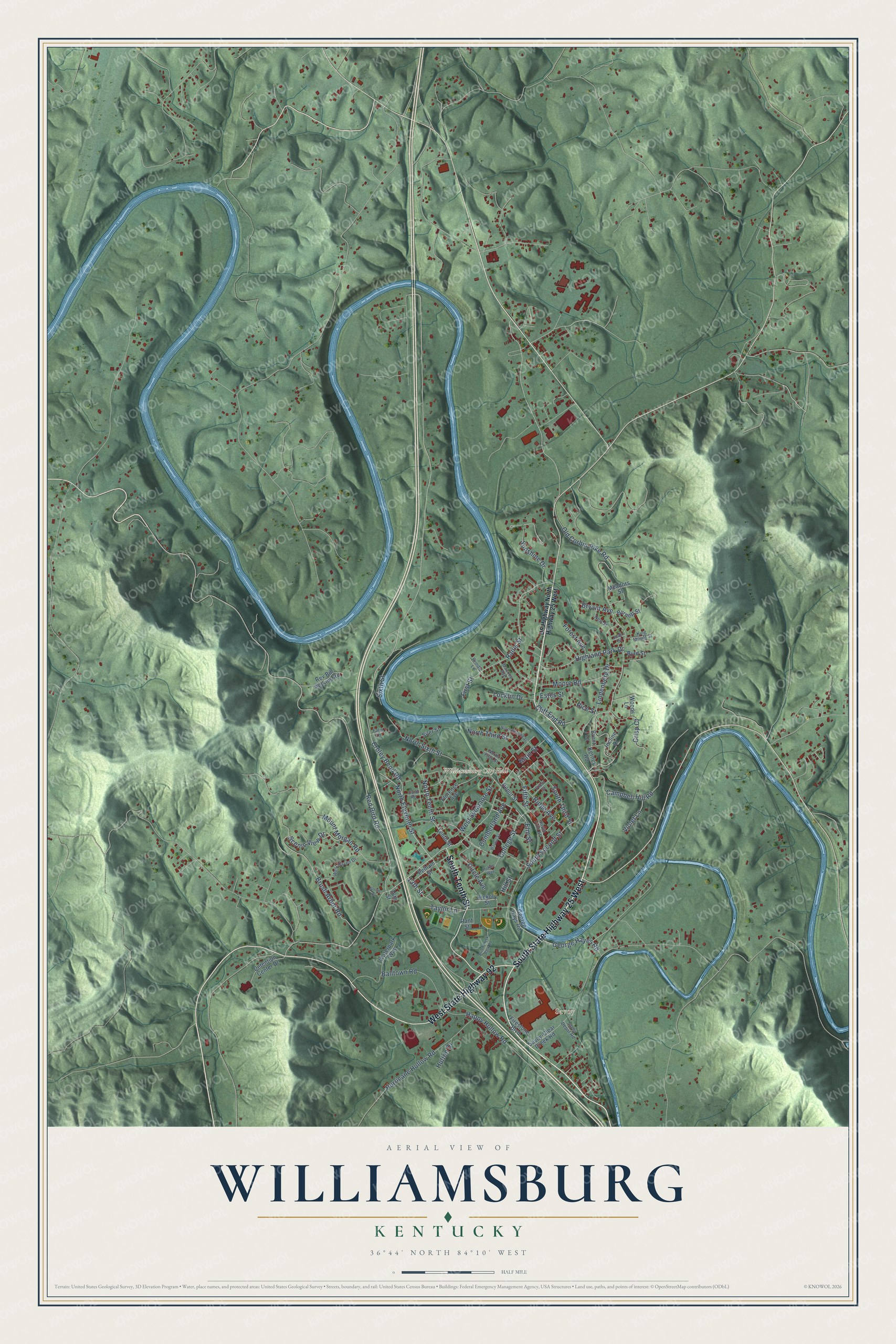
This beautifully detailed map of Williamsburg, Kentucky was created in 2026 using aerial imagery combined with modern topographical, census, street and landmark data. It’s a one-of-a-kind view of Williamsburg that combines accurate data with a vintage aesthetic. The map shows every building in its true location, many of the roads carry their names, and the shaded topographic relief shows the shape of the land.
Explore an aerial view of Williamsburg, Kentucky
On the map you’ll find Williamsburg City Hall, Savoy, Balltown, Highland Park, Highland Cemetery, and South State Highway 25 West, along with West State Highway 92, South Tenth Street, Croley Bend Road, Rice Street, Rains Street, Campbell Hill Road, and more. If you look closely you can even find your house accurately drawn in its correct location. Zoom in on the preview to look for yours.
Did you know this piece of Williamsburg, Kentucky history?
From the Kentucky Atlas and Gazetteer: "Williamsburg is the home of the University of the Cumberlands, founded in 1889."
Take a closer look at the Williamsburg map
Street and place names on the Williamsburg, Kentucky map
These names are printed on the map of Williamsburg, Kentucky.
Places: Williamsburg City Hall and Savoy.
Streets and roads: West State Highway 92, South State Highway 25 West, South Tenth Street, Croley Bend Road, Rains Street, North Eleventh Street, Rice Street, Cliff End Road, Brush Arbor Road, South Second Street, 13th Street, Campbell Hill Road.
More street names, A to Z
16th Street, Balltown Road, Brent Lane, Briar Creek Park Road, Bryant Avenue, Burnett Street, Byrd Street, Circle Avenue, College Street, Crisp Court, Cumberland Avenue, Curd Road, Depot Street, Detention Center Drive, Elm Street, Estes Street, Falin Lane, Fifth Street, Firestone Boulevard, First Street, Florence Avenue, Forest Avenue, Front Street, George Hayes Road, George Hays Road, Happy Hollow Road, Hickory Street, Highland Park Drive, Hill Street, Hurricane Hollow Road, Hutton Drive, Hutton Way, Incline Drive, Joan Street, Kerney Road, King Mount Street, Lindenberg Drive, Locklin Drive, Mackey Avenue, Main Street, Meadors Street, Moore Road, Mount Morgan Road, New Street, North Fifth Street, North Second Street, North Sixth Street, North Tenth Street, North Third Street, Old Corbin Pike Road, Pelham Street, Prindle Lane, Rant Street, Red Bird Road, Rev Bill Perkins Road, Ridge Avenue, Savoy-Clear Creek Road, Savoy Depot Road, Scenic View Drive, Siler Street, Sixth Street, Smith Court, South Fifth Street, South Third Street, Sunshine Drive, Taylor Lane, Tenth Street, US Highway North Highway 25 West, Violet Lane, Walnut Street, Waterpark Way, West Haven Drive, West Sycamore Street, Woods Lane.
See the Williamsburg, Kentucky map on a wall
The Williamsburg map as an 18 x 24 inch print in a black frame.

This beautifully detailed map of Williamsburg makes an attractive addition to your office, library, or den, and it can even be used to teach children the geography and history of the area. It also makes a great gift for anyone who grew up in Williamsburg or moved away. When you’re done exploring, click here to get your copy of the Williamsburg map.