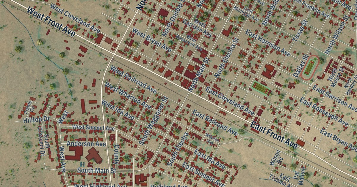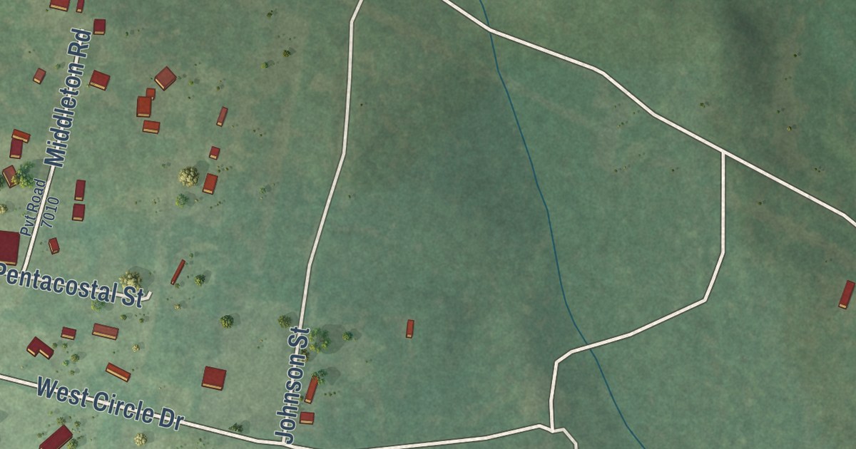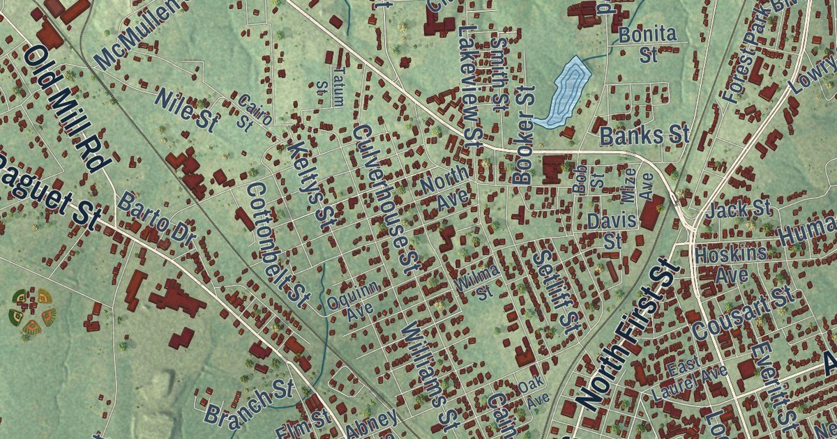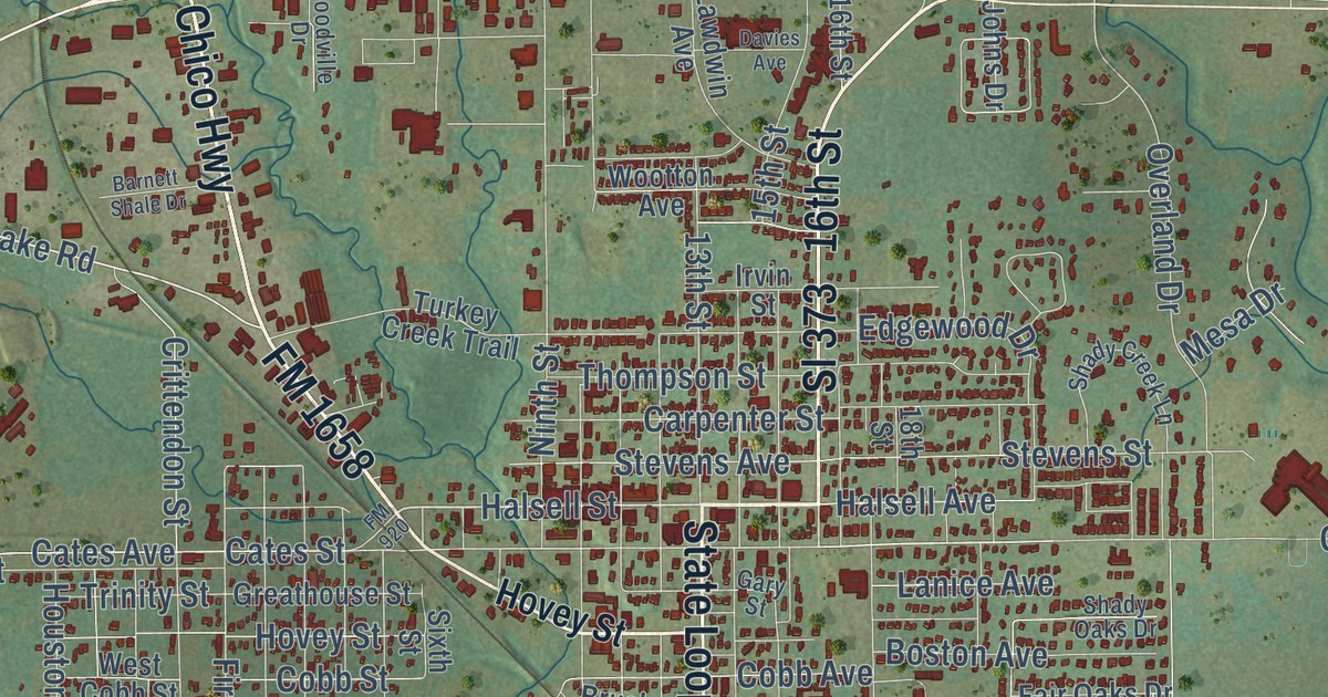
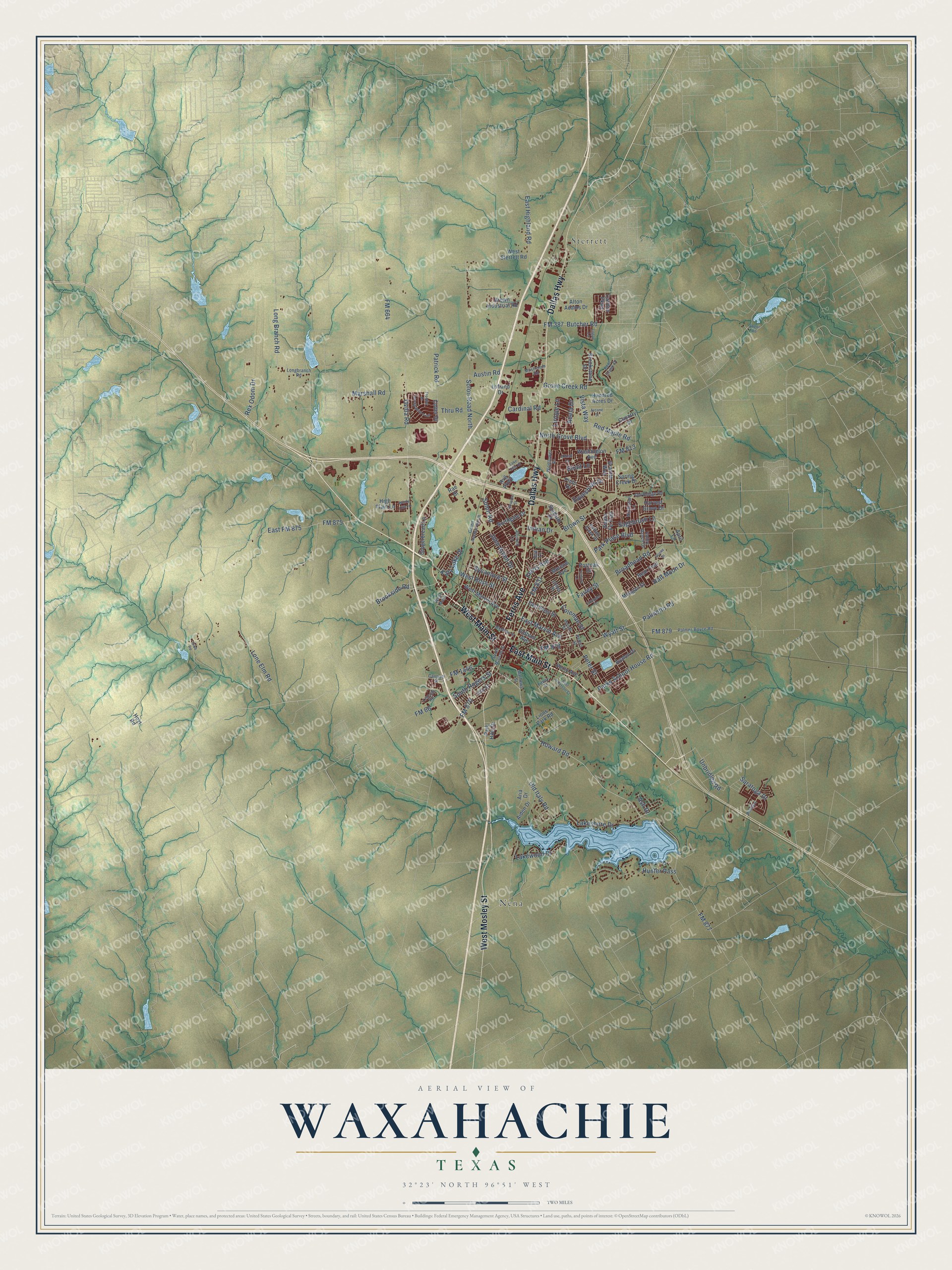
This beautifully detailed map of Waxahachie, Texas was created in 2026 using aerial imagery combined with modern topographical, census, street and landmark data. It’s a one-of-a-kind view of Waxahachie that combines accurate data with a vintage aesthetic. The map shows every building in its true location, many of the roads carry their names, and the shaded topographic relief shows the shape of the land.
Explore an aerial view of Waxahachie, Texas
On the map you’ll find Nena and Sterrett, along with West Main Street, Ferris Avenue, East Main Street, Dallas Highway, West Mosley Street, Lakeshore Drive, Brookside Road, Howard Road, South Rogers Street, FM 877, and more. If you look closely you can even find your house accurately drawn in its correct location. Zoom in on the preview to look for yours.
Did you know this piece of Waxahachie, Texas history?
From the Handbook of Texas: "The community's first school of any consequence, the Waxahachie Academy, was established in 1860 and operated for thirty-seven years."
Take a closer look at the Waxahachie map
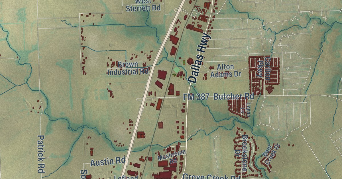
Street and place names on the Waxahachie, Texas map
These names are printed on the map of Waxahachie, Texas.
Places: Sterrett and Nena.
Streets and roads: West Main Street, Ferris Avenue, East Main Street, Dallas Highway, West Mosley Street, Lakeshore Drive, Brookside Road, Howard Road, South Rogers Street, FM 877, FM 664, Ovilla Road.
More street names, A to Z
Abbott Lane, Abela Drive, Aiden Drive, Alton Adams Drive, April Lane, Arcane Street, Aria Drive, Ash Drive, Austin Road, Avalon Drive, Bear Trail, Bent Creek Drive, Bird Lane, Boone Drive, Broadhead Road, Brookstone Drive, Brown Industrial Road, Brown Street, Buffalo Creek Drive, Butcher Road, Cantrell Street, Cardinal Road, Carlton Parkway, Chiles Street, Coleman Street, Colter Drive, Cornell Lane, Country Drive, East FM 875, East Highland Road, East Jefferson Street, East Marvin Avenue, East Ross Street, Ellis Street, Equestrian Drive, Farley Street, Finley Street, FM 66, FM 387, FM 813, FM 831, FM 875, FM 876, FM 878, FM 879, FM 1446, Frontier Drive, Gibb Road, Gingerbread Lane, Grand Avenue North, Granite Way, Grove Creek Road, Half Moon Drive, Harvest Grove Drive, High Plain Lane, Houston Street, Hoyt Road, Hundred Acres Drive, Hunter Pass, Indian Drive, John Arden Drive, Katy Lake Drive, Lake Side Drive, Lakewood Drive, Lavender Drive, Leisure Lane, Lincoln Road, Lions Park Road, Liriope Lane, Lofland Drive, Logan Lane, Lone Elm Road, Long Branch Road, Longbranch Road, Marshall Road, Mathews Street, McMillan Street, Meagan Street, Morene Avenue, Mushroom Road, Northgate Drive, North Grove Boulevard, Northstar Lane, Old Bridge Road, Oldham Avenue, Old Italy Road, Old Spanish Trail, Palmer-Boyce Road, Palmetto Road, Park Hills Drive, Park Place Boulevard, Parks School House Road, Patrick Road, Pecan Street, Perry Avenue, Peters Street, Peter Street, Pimlico, Pinto Drive, Postoak Drive, Rae Street, Red Maple Road, Rex Odom Drive, Rvg Parkway, Sagebrush Lane, Santa Fe Trail, Saratoga Drive, Solon Road, Solon Road North, South Monroe Street, Spring Creek Drive, Stadium Drive, Strait Lane, Sycamore Street, Taylor Road, Thru Road, Unbridled Road, Valley Ranch Drive, Vista Way, Washington Avenue, West Main, West Marvin Avenue, West Ross Street, West Sterrett Road, Wildflower Drive, Windy Hill Lane, Wyatt Street.
See the Waxahachie, Texas map on a wall
The Waxahachie map as an 18 x 24 inch print in a black frame.

This beautifully detailed map of Waxahachie makes an attractive addition to your office, library, or den, and it can even be used to teach children the geography and history of the area. It also makes a great gift for anyone with Waxahachie roots. When you’re done exploring, click here to get your copy of the Waxahachie map.