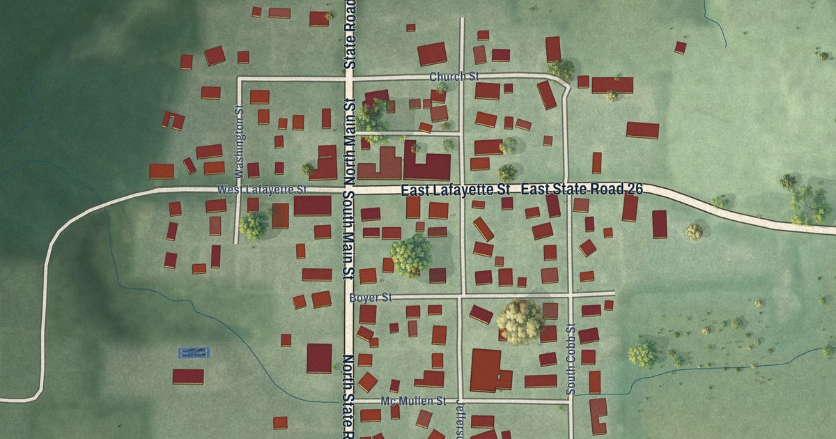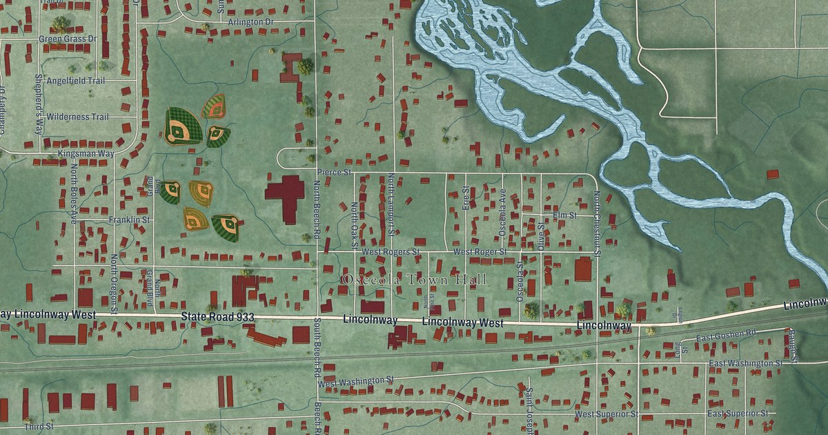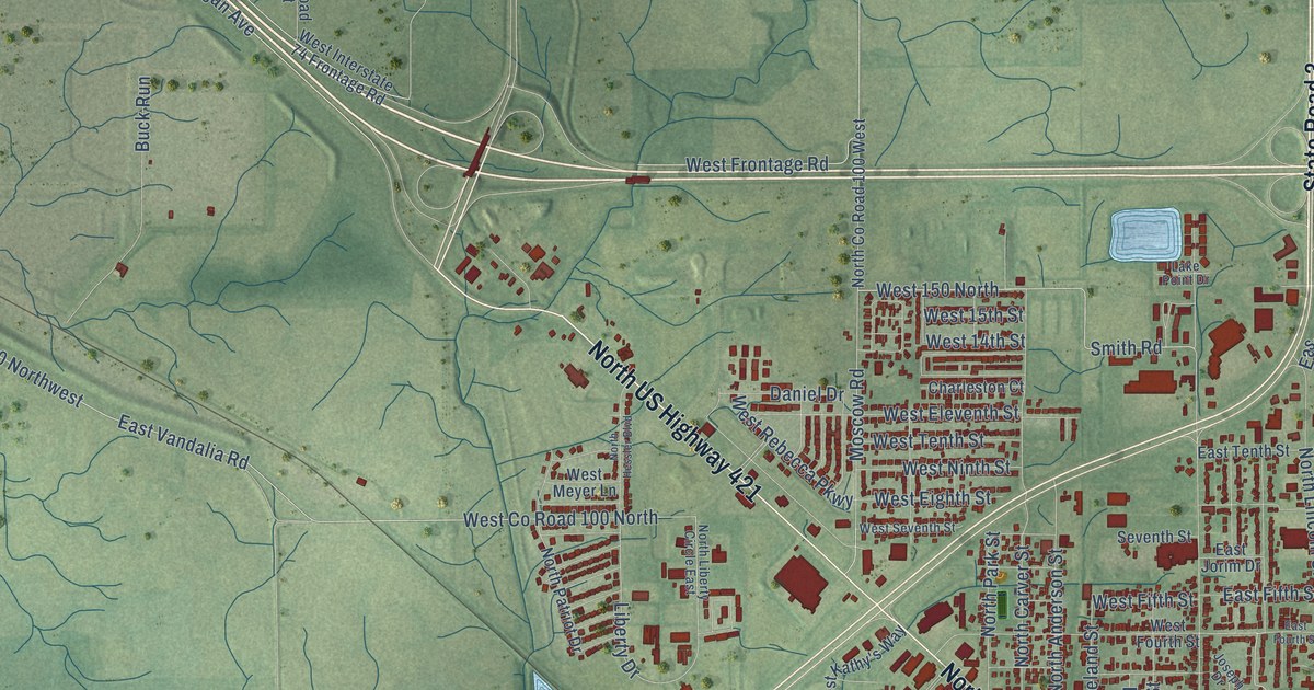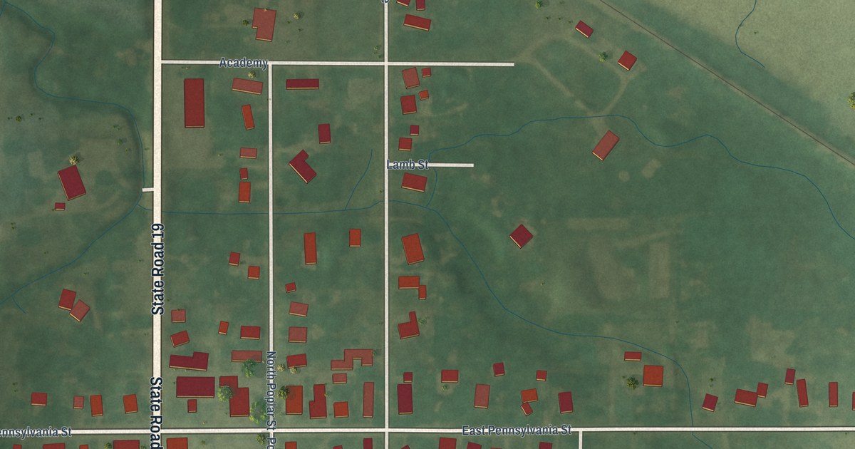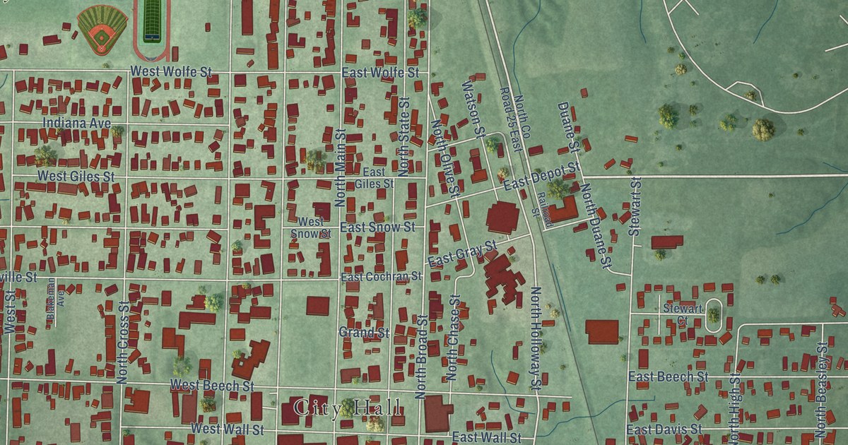
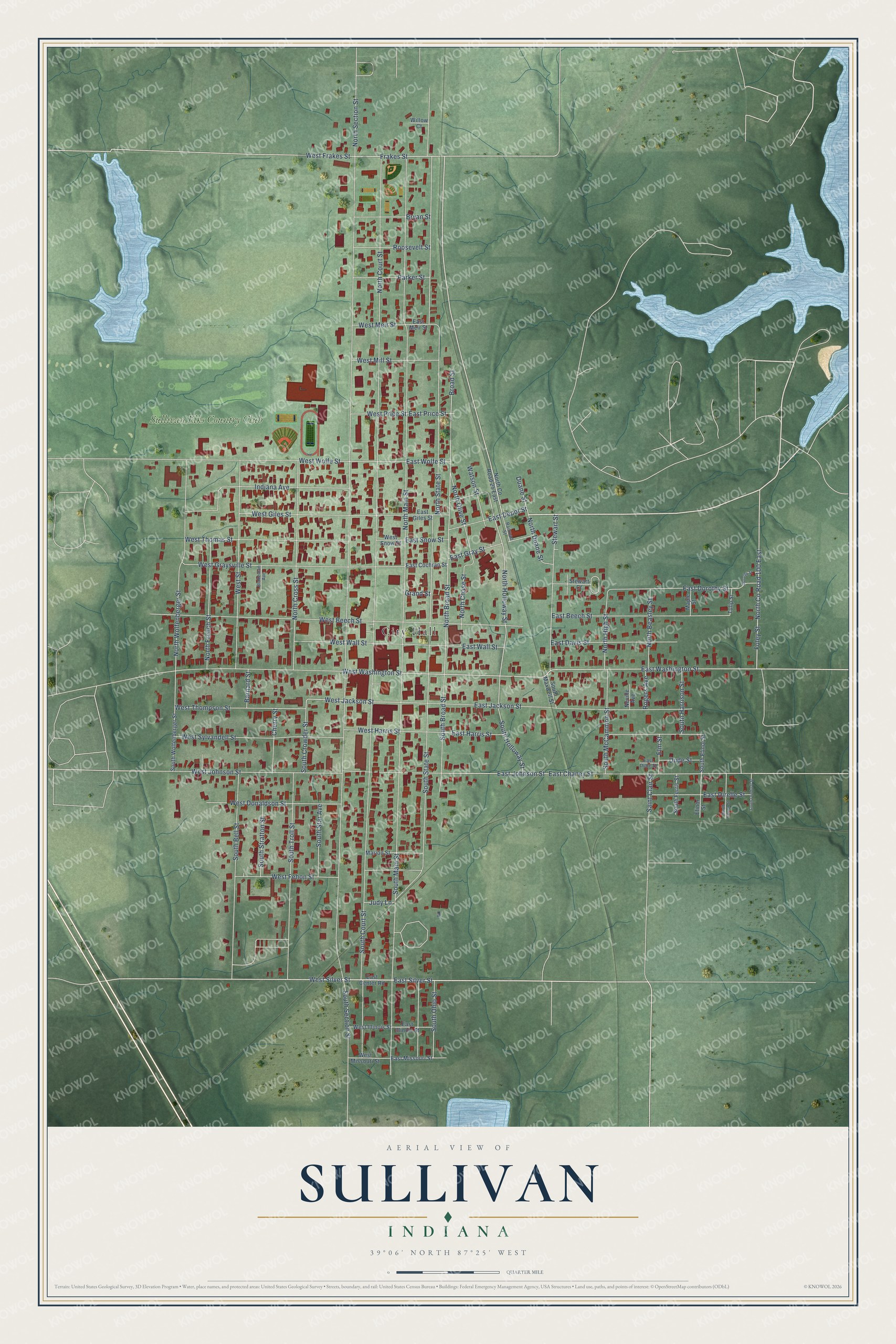
This beautifully detailed map of Sullivan, Indiana was created in 2026 using aerial imagery combined with modern topographical, census, street and landmark data. It's a modern aerial view of Sullivan in Sullivan County, Indiana, that combines modern data with a vintage aesthetic. The roads feature printed names, and if you look closely you can find your exact house accurately shown in its correct location.
Explore an aerial view of Sullivan, Indiana
On this map you'll find City Hall, Sullivan Elks Country Club, West Silver Street, East Silver Street, Frakes Street, East Washington Street, West Jackson Street, North Holloway Street, North Broad Street, North State Street, North Section Street, North Main Street, and more. Each red shape is a building, so zoom in on the preview and look for yours.
Sullivan has a story worth telling. The National Register of Historic Places puts it this way: "Its ornate plaster interior, which is largely intact, is the only
space of its kind in Sullivan."
Sullivan is a city in Sullivan County. The Census Bureau counted 4,264 people here in 2020.
Take a closer look at the Sullivan map
Names on this map
These names are printed on this map.
Places: City Hall and Sullivan Elks Country Club.
Streets and roads: West Silver Street, East Silver Street, Frakes Street, East Washington Street, West Jackson Street, North Holloway Street, North Broad Street, North State Street, North Section Street, North Main Street, North Court Street, South Section Street.
More street names, A to Z
Barnard Street, Blakeman Avenue, Broad Street, Bryan Street, Cherry Street, Dorothy Street, Duane Street, Dude Street, East Beech Street, East Center Road, East Chaney Street, East Cochran Street, East Davis Street, East Depot Street, East Direlle Street, East Dorothy Street, East Dude Street, East Giles Street, East Gray Street, East Harris Street, East Illinois Street, East Jackson Street, East Johnson Street, East Meir Street, East Missouri Street, East Price Street, East Snow Street, East Wall Street, East Wolfe Street, Elinor Street, Elm Street, Foley Street, Grand Street, Indiana Avenue, Judy Lane, Maple Street, Marion Street, Neville Avenue, North Beasley Street, North Chase Street, North County Road 25 East, North County Road 100 East, North Cross Street, North Duane Street, North French Street, North High Street, North Olive Street, North Wolfenberger Street, Parker Street, Railroad Street, Rogers Avenue, Roosevelt Street, Saint Clair Street, South Bell Street, South Broad Street, South Court Street, South Crowder Street, South Elinor Street, South Ferris Street, South Harrison Street, South Holloway Street, South Holson Street, South Main Street, South Maxwell Street, South McCammon Street, South Ohio Street, South Orndurff Street, South Star Avenue, South State Street, South Stratton Street, South Troll Street, South Wolfenberger Street, Stewart Court, Stewart Street, Tulip Street, Watson Street, West Beech Street, West Donaldson Street, West Fehon Street, West Frakes Street, West Giles Street, West Graysville Street, West Harris Street, West Illinois Street, West Johnson Street, West Meir Street, West Mill Street, West Missouri Street, West Price Street, West Snow Street, West Street, West Sylvandell Street, West Thomas Street, West Thompson Street, West Wall Street, West Washington Street, West Wolfe Street, Willow Court.
Created by KNOWOL in 2026. The buildings are small red shapes, the roads carry their printed names, and shaded relief shows the shape of the land. The title panel reads "AERIAL VIEW OF SULLIVAN INDIANA" with 39°06' NORTH 87°25' WEST.
It looks right in a kitchen, an office or a den, and it's a gift for anyone who grew up in Sullivan or moved away. Open the preview and find your street. See sizes and frames for the Sullivan map.