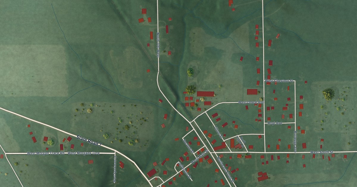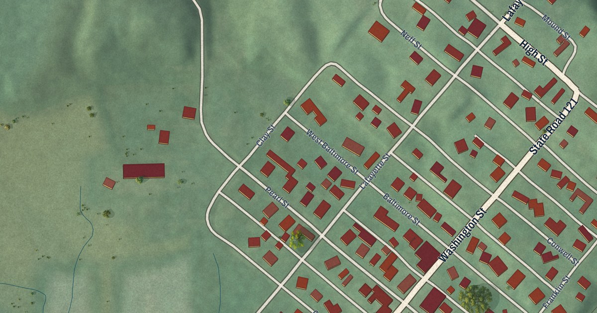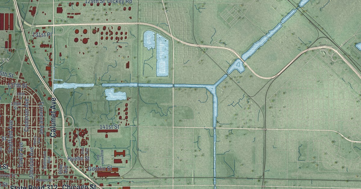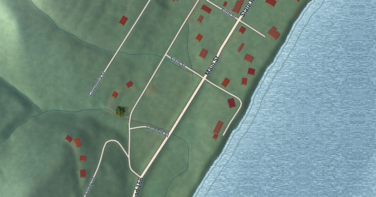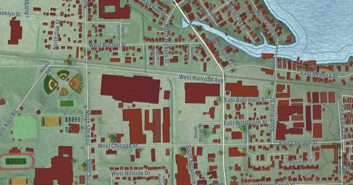
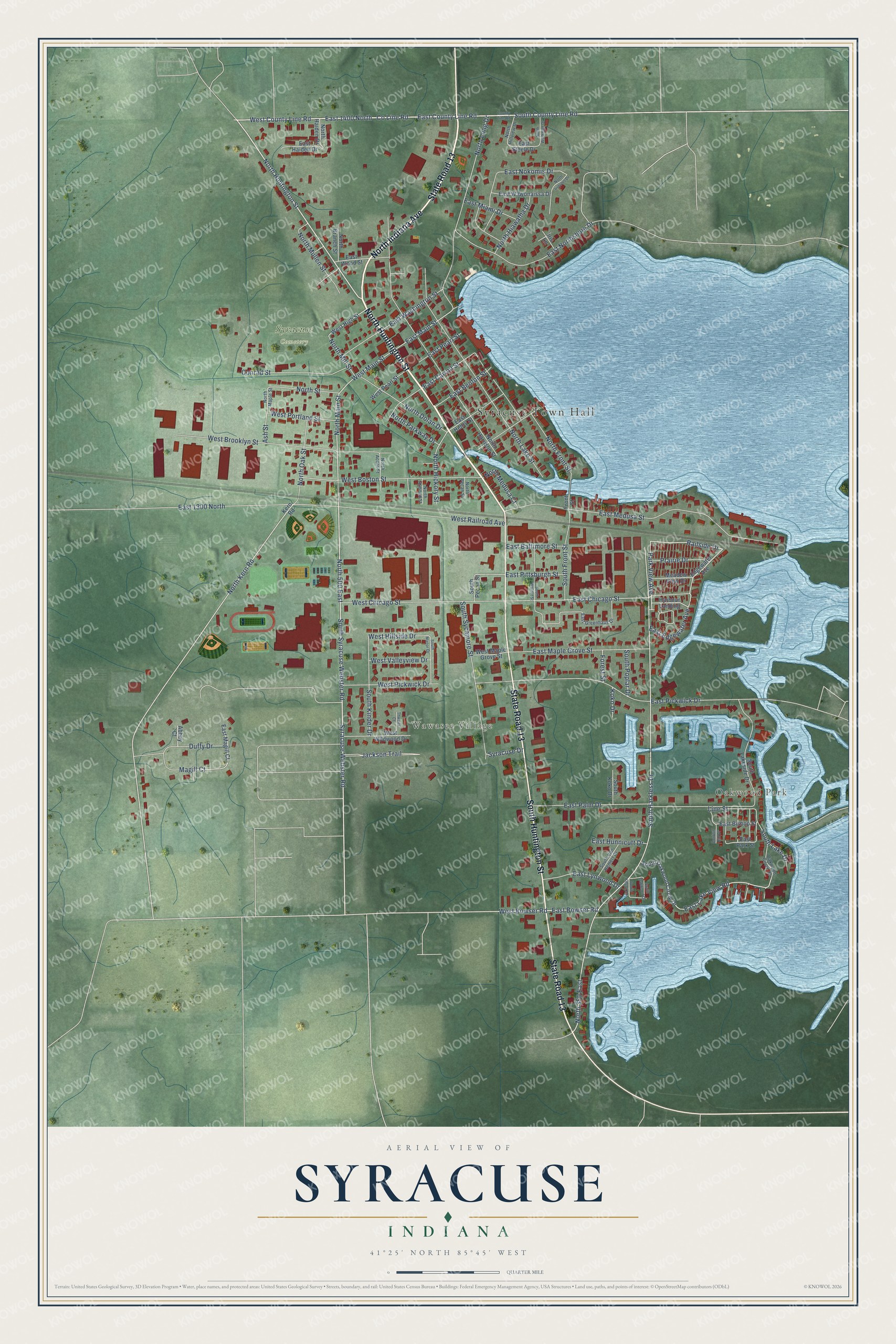
This beautifully detailed map of Syracuse, Indiana was created in 2026 using aerial imagery combined with modern topographical, census, street and landmark data. It's a modern aerial view of Syracuse in Kosciusko County, Indiana, that combines modern data with a vintage aesthetic. The roads feature printed names, and if you look closely you can find your exact house accurately shown in its correct location.
Explore an aerial view of Syracuse, Indiana
On this map you'll find Syracuse Town Hall, Oakwood Park, Wawasee Village, Syracuse Cemetery, North Huntington Street, State Road 13, North Indiana Avenue, South Huntington Street, Co Line Road, Railside Drive, Park View Avenue, North Main Street, and more. Each red shape is a building, so zoom in on the preview and look for yours.
Syracuse has a story worth telling. The Internet Archive puts it this way: "Syracuse was laid out by that name on August 11, 1837, by Craw-
son & Ward, proprietors of the land on which it was surveyed by
Christopher D. Lightfoot, county surveyor."
Syracuse is a town in Kosciusko County. The Census Bureau counted 3,079 people here in 2020.
Take a closer look at the Syracuse map
Names on this map
These names are printed on this map.
Places: Syracuse Town Hall, Oakwood Park, Wawasee Village and Syracuse Cemetery.
Streets and roads: North Huntington Street, State Road 13, North Indiana Avenue, South Huntington Street, County Line Road, Railside Drive, Park View Avenue, North Main Street, North Kern Road, West Main Street, North 500 East, South Syracuse Webster Road.
More street names, A to Z
Abbey Court, Ash Street, Conklin Hill Drive, Conrad Street, Duffy Drive, East 1300 North, East 1400 North, East Baltimore Street, East Benton Street, East Bishop Street, East Bowser Road, East Carroll Street, East Chicago Street, East County Line Road, East Edgewater Avenue, East Greenhaus Drive, East Haiden Drive, East Henry Street, East Hunnicutt Drive, East Lake View Road, East Lynwood Drive, East Magill Court, East Main Street, East Maple Grove Street, East Medusa Street, East Miami Drive, East Nokomis Drive, East Northshore Drive, East Palm Drive, East Park Street, East Pearl Street, East Pickwick Drive, East Pittsburgh Street, East Steele Drive, East Washington Street, East Wawonaissa Drive, East Wood Street, Edgewater Avenue, Forest Street, Front Street, Harbour Landing, Iris Lane, Jackson Trail, Kern Road, Koko Drive, Line Street, Magill Court, Meadow View Drive, North 350 East, North Acorn Street, North Almond Street, North Branch Street, North Dolan Drive, North Front Street, North Haiden Drive, North Harrison Street, North Hiawatha Drive, North Hickory Street, North Hillview Drive, North Iriquois Drive, North Lake Street, North Long Drive, North Maple Street, North Medusa Court, North Mill Street, North Mullen Street, North Oak Street, North Parkway Drive, North Pecan Street, North Street, North Workman Drive, Oakwood Circle Drive, Prairie Drive, South County Line Road, South Front Street, South Harkless Drive, South Kinder Drive, South Kitson Drive, South Koko Drive, South Lake Drive, South Lakeside Drive, South Manor Drive, South Oakwood Circle Drive, South Oakwood Drive, South Pecan Street, South Poplar Drive, South Sycamore Street, South Van Hemert Drive, South Walnut Street, Syracuse Drive, Syracuse Webster Road, Thwaits Court, West Boston Street, West Bowser Road, West Brooklyn Street, West Chicago Street, West County Line Road, West High Street, West Hillside Drive, West Maple Grove Street, West Pearl Street, West Pickwick Drive, West Portland Street, West Railroad Avenue, West Valleyview Drive, West Wildwood Drive.
Created by KNOWOL in 2026. The buildings are small red shapes, the roads carry their printed names, and shaded relief shows the shape of the land. The title panel reads "AERIAL VIEW OF SYRACUSE INDIANA" with 41°25' NORTH 85°45' WEST.
It looks right in a kitchen, an office or a den, and it's a gift for anyone who grew up in Syracuse or moved away. Open the preview and find your street. See sizes and frames for the Syracuse map.