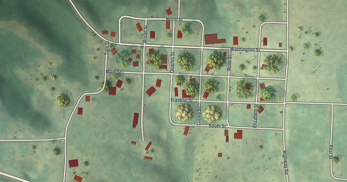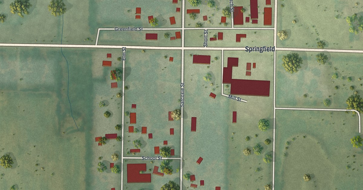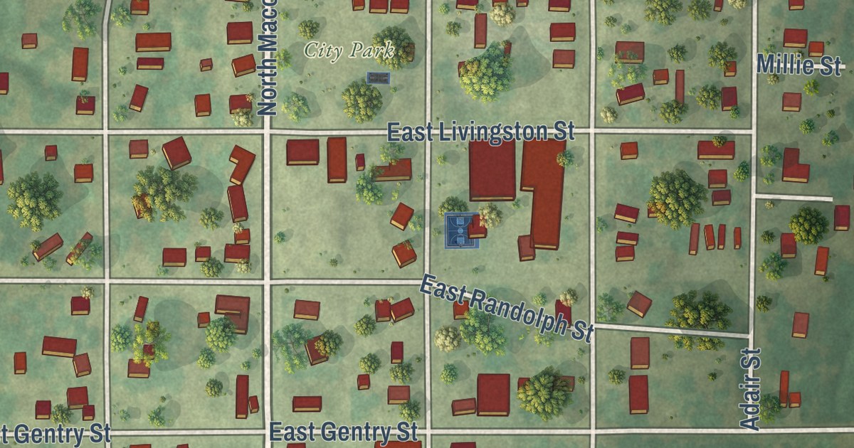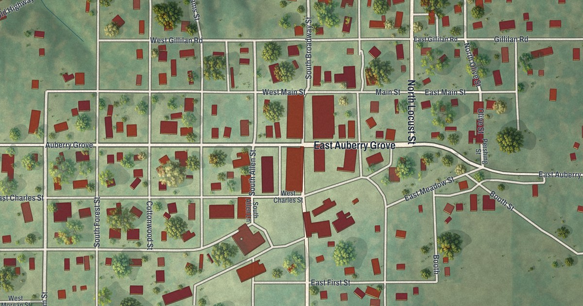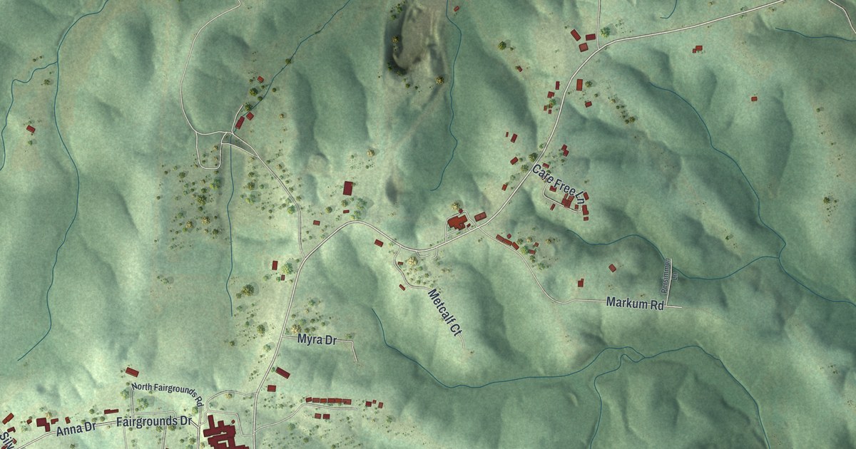
This beautifully detailed map of Laurie, Missouri was created in 2026 using aerial imagery combined with modern topographical, census, street and landmark data. It’s a one-of-a-kind view of Laurie that combines accurate data with a vintage aesthetic. The map shows every building in its true location, many of the roads carry their names, and the shaded topographic relief shows the shape of the land.
Explore an aerial view of Laurie, Missouri
On the map you’ll find Lake Road 5-27, along with North Main Street, South Main Street, Chelsie Road, Brook Valley Lane, Indian Lake Avenue, Oak Street, Anna Drive, Firehouse Road, Fairgrounds Drive, Fabick Drive, Bass Point Road, and more. If you look closely you can even find your house accurately drawn in its correct location. Zoom in on the preview to look for yours.
Did you know this piece of Laurie, Missouri history?
From the City of Laurie: "In 1961, residents of the area petitioned for a post office and chose the name Laurie because of the goodwill generated by the family store over the years."
Take a closer look at the Laurie map
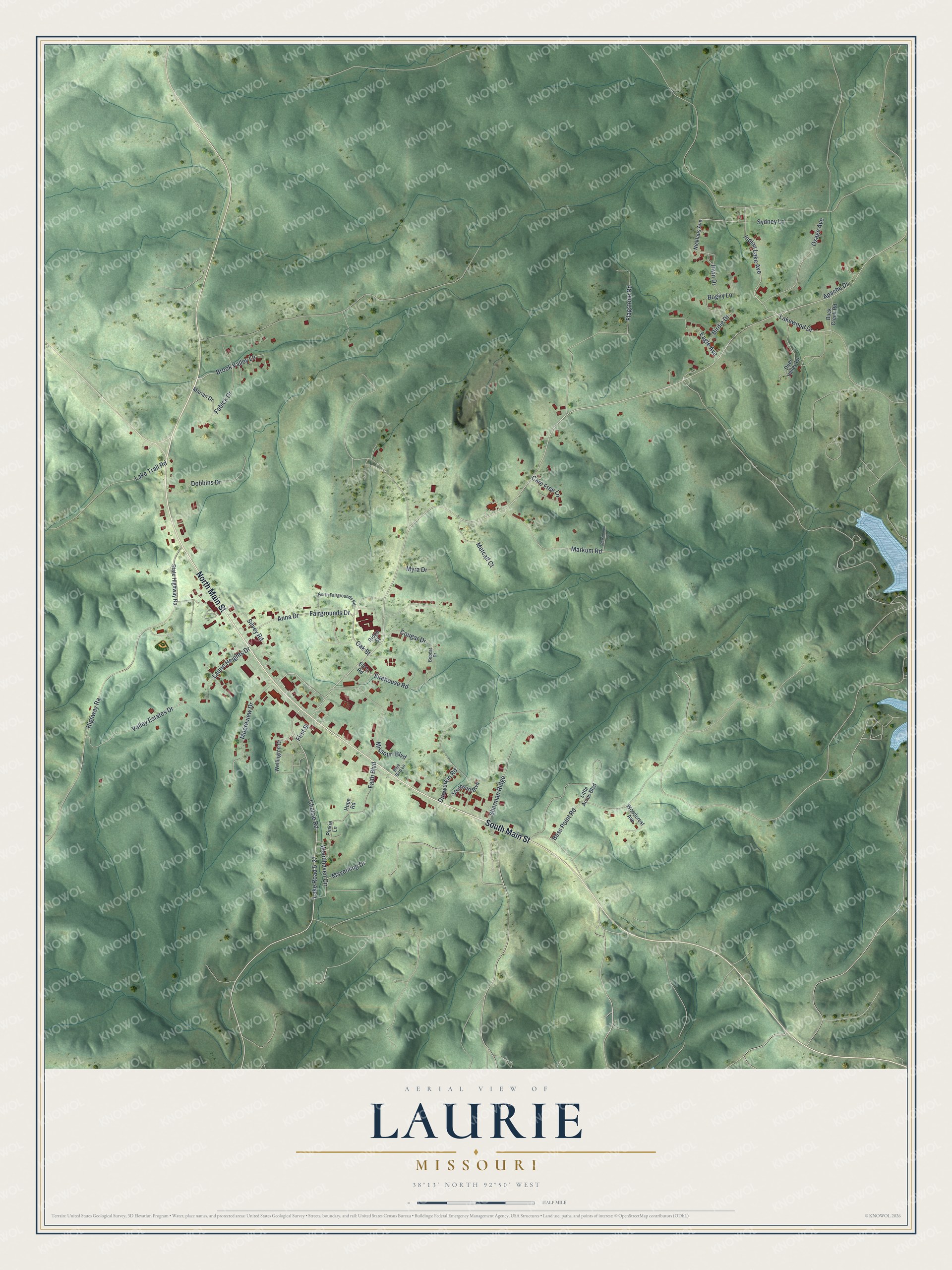
Street names on the Laurie, Missouri map
These names are printed on the map of Laurie, Missouri.
Streets and roads: North Main Street, South Main Street, Chelsie Road, Lake Road 5-27, Brook Valley Lane, Indian Lake Avenue, Oak Street, Anna Drive, Firehouse Road, Fairgrounds Drive, Fabick Drive, Bass Point Road.
More street names, A to Z
Apache Drive, Birdie Drive, Blue Bird Lane, Bobcat Drive, Bogey Lane, Buck Creek Road, Care Free Lane, Cougar Drive, Deer Valley Lane, Dobbins Drive, Dunwurkin Road, Eagle Avenue, Elk's Road, Faith Boulevard, First Street, Flagstone Road, Highway Ra, Hope Road, Irwin Drive, Lake Trail Road, Lakewood Drive, Laurie Heights Drive, Little Acres Boulevard, Marian Drive, Markum Road, Mayenling Drive, Metcalf Court, Missouri Boulevard, Mooreview Drive, Myra Drive, Nicklaus Avenue, North Fairgrounds Road, Osage Avenue, Persimmon Lane, Pinkie Lane, Ridge Street, Sherman Ridge, Silvey Road, Southport Boulevard, State Highway Ra, Sydney Lane, Valley Estates Drive, Wellington Court, Woodcrest Avenue, Woodhaven Circle.
See the Laurie, Missouri map on a wall
The Laurie map as an 18 x 24 inch print in a black frame.

This beautifully detailed map of Laurie makes an attractive addition to your office, library, or den, and it can even be used to teach children the geography and history of the area. It also makes a great gift for someone who left Laurie and still calls it home. When you’re done exploring, click here to get your copy of the Laurie map.