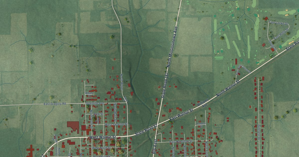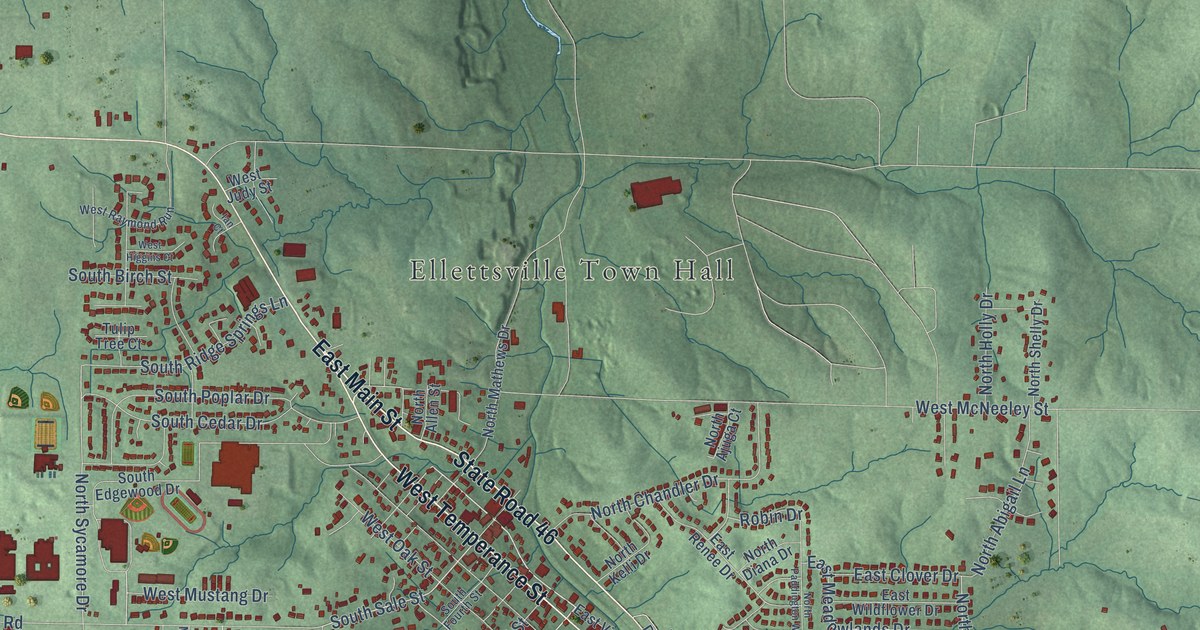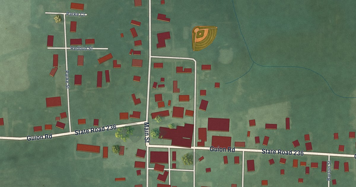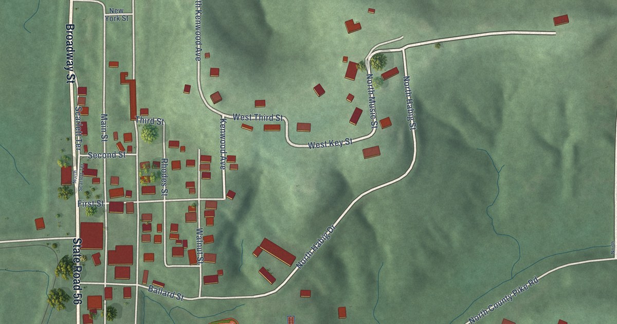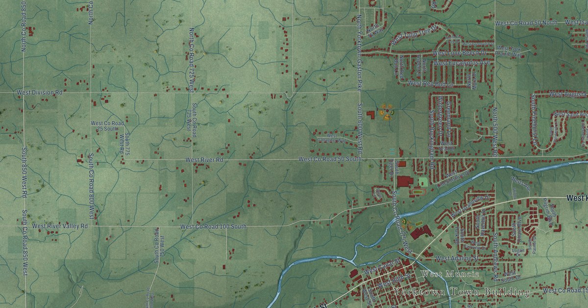
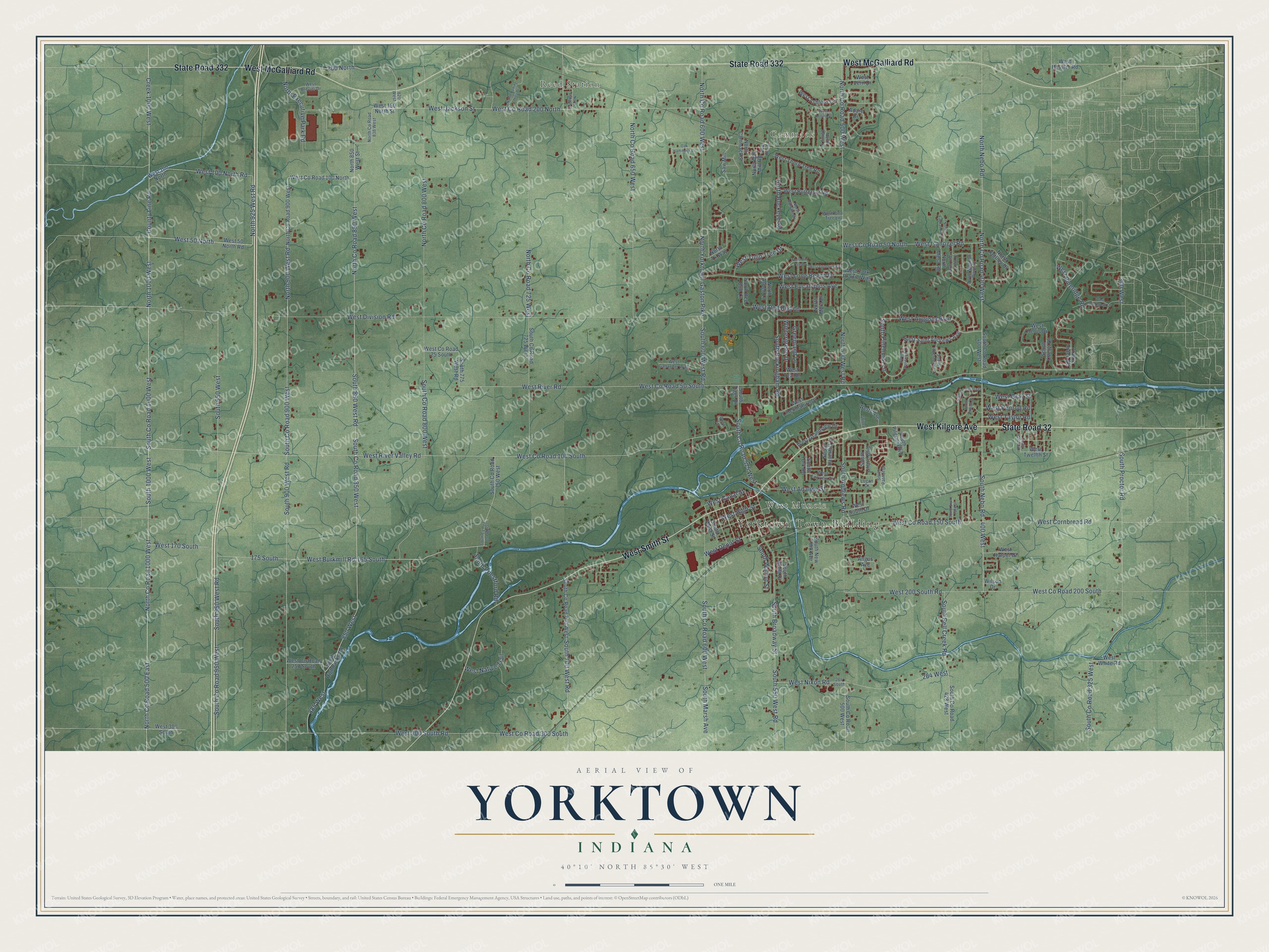
This beautifully detailed map of Yorktown, Indiana was created in 2026 using aerial imagery combined with modern topographical, census, street and landmark data. It's a modern aerial view of Yorktown in Delaware County, Indiana, that combines modern data with a vintage aesthetic. The roads feature printed names, and if you look closely you can find your exact house accurately shown in its correct location.
Explore an aerial view of Yorktown, Indiana
On this map you'll find Yorktown Town Building, Cammack, Reed Station, West Muncie, West Kilgore Avenue, State Road 32, State Road 332, West McGalliard Road, West Smith Street, South 850 West Road, South Co Road 850 West, North Co Road 850 West, and more. Each red shape is a building, so zoom in on the preview and look for yours.
Yorktown is a town in Delaware County. The Census Bureau counted 11,548 people here in 2020. The map prints the town name in its title panel, with the coordinates below it.
Take a closer look at the Yorktown map
Names on this map
These names are printed on this map.
Places: Yorktown Town Building, Cammack, Reed Station and West Muncie.
Streets and roads: West Kilgore Avenue, State Road 32, State Road 332, West McGalliard Road, West Smith Street, South 850 West Road, South County Road 850 West, North County Road 850 West, 165 South, 850 West, South Pinehurst Lane, 400 West.
More street names, A to Z
175 South, 200 North, 264 South, 264 West, 300 West, 820 West, 885 West, Adare Drive, Angus Avenue, County Line Road, Creek 1000 West, Drew Lane, Greenland Lane, Logan Drive, North 500 West Road, North 850 West Street, North 900 West Road, North 925 West Road, North 1000 West, North Aspen Lane, North Balsam Drive, North Buckeye Road, North Cammack Street, North Cherry Wood Lane, North County Road 400 West, North County Road 500 East, North County Road 500 West, North County Road 600 West, North County Road 650 West, North County Road 725 West, North County Road 800 West, North County Road 838 West, North County Road 900 West, North County Road 1000 West, North Executive Park Road, North Finnlandia Court, North Fir Tree Drive, North Kettner Drive, North Meadow Wood Drive, North Mesa Road, North Myra Drive, North Nebo Road, North New Street, North Old Mill Road, North Red Bud Lane, North Rolling Hills Drive, North Station Street, North Tk Way, North Valley Drive, North Yorktown-Gaston Pike, Oak Hammock Drive, Prairie Trace Road, Saw Mill, Shirley Drive, South 550 West Road, South 600 West Road, South 700 West Road, South 775 West Road, South 900 West Road, South 950 West, South 950 West Road, South 1000 West, South Andrews Road, South Bell Creek Road, South Broadway Street, South Buckingham Road, South Cheryl Drive, South County Road 325 West, South County Road 400 West, South County Road 428 West, South County Road 500 West, South County Road 575 West, South County Road 600 West, South County Road 700 West, South County Road 725 West, South County Road 750 West, South County Road 758 West, South County Road 800 West, South County Road 900 West, South County Road 950 West, South County Road 1000 West, South Evan Park Drive, South Haverhill Drive, South Highbanks Road, South Inverness Lane, South Italiano Drive, South Marsh Avenue, South Nebo Road, South New York Avenue, South Ohare Boulevard, South Patriot Drive, South Pilgrim Boulevard, South Prestwick Lane, South Priestford Road, South Proctor Road, South Sarasota Drive, South Scott Drive, South Sunset Drive, South Tiger Drive, South Walnut Street, South West Street, South York Road, Werts Avenue, West 50 North, West 50 North Road, West 100 North, West 100 North Road, West 150 North Street, West 170 South, West 200 South Road, West 300 South, West 300 South Road, West Adaline Street, West Ashford Lane, West Augusta Boulevard, West Brevini Drive, West Burkmill Road, West Butternut Road, West Canal Street, West Cornbread Road, West County Road 25 South, West County Road 50 North, West County Road 50 South, West County Road 100 North, West County Road 100 South, West County Road 150 South, West County Road 200 North, West County Road 200 South, West County Road 250 South, West County Road 300 South, West Deerbrook Drive, West Depot Street, West Division Road, West Eucalyptus Avenue, West Fairview Drive, West Gallagher Way, West Grandview Drive, West Gray Street, West Greenview Drive, West Harper Drive, West Hellis Drive, West Hessler Road, West High Street, West Isanogel Road, West Jackson Street, West Lincolnshire Drive, West Lone Beech Drive, West Native Trail, West Nixon Road, West Penrod Road, West Pineridge Road, West Pine Tree Lane, West Red Bud Lane, West River Road, West River Valley Road, West Rolling Drive, West Saint Andrews Avenue, West South Drive, West Taylor Road, West Teal Drive, West Thorn Tree Road, West Tulip Tree Drive, West Twelfth Street, West Vern Drive, West White Road, West York Prairie Way, Wilson Drive, Wintergreen Drive.
Created by KNOWOL in 2026. The buildings are small red shapes, the roads carry their printed names, and shaded relief shows the shape of the land. The title panel reads "AERIAL VIEW OF YORKTOWN INDIANA" with 40°10' NORTH 85°30' WEST.
It looks right in a kitchen, an office or a den, and it's a gift for anyone who grew up in Yorktown or moved away. Open the preview and find your street. See sizes and frames for the Yorktown map.