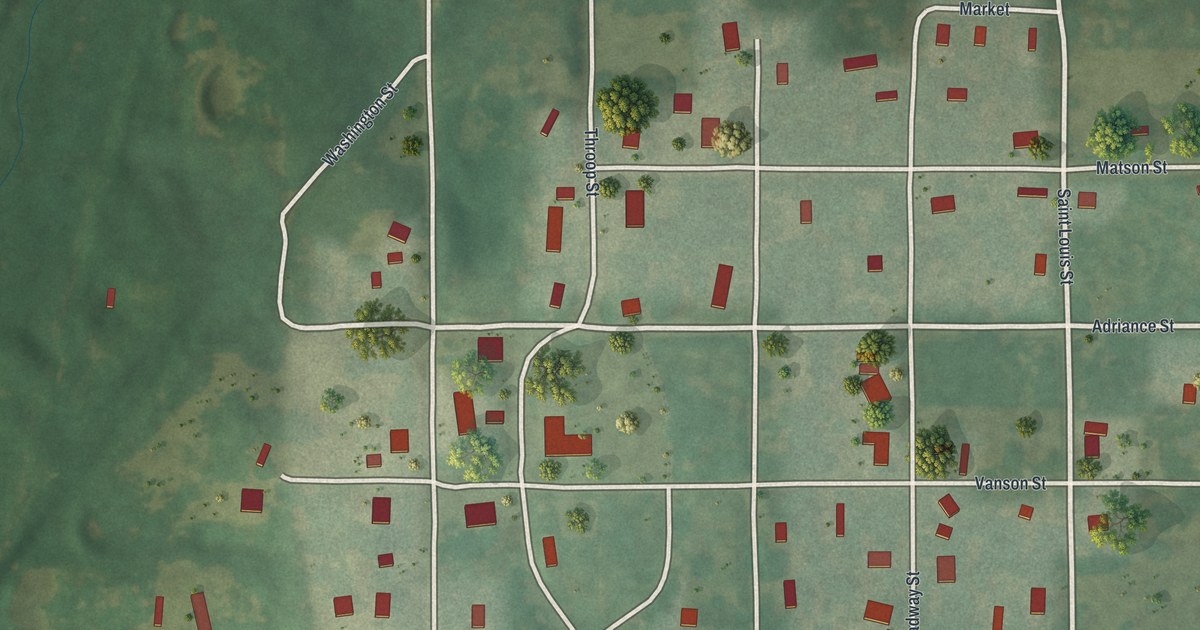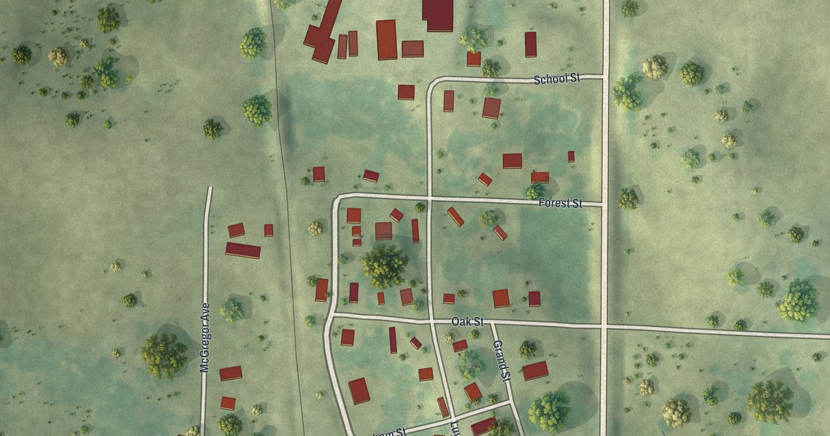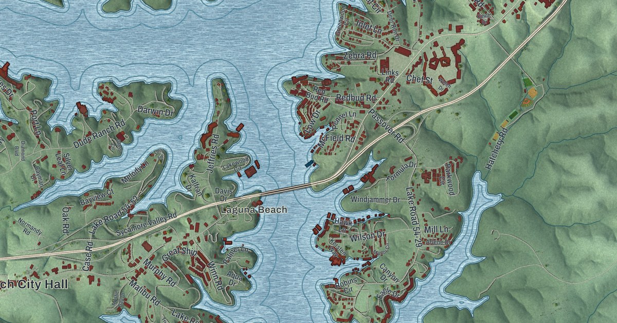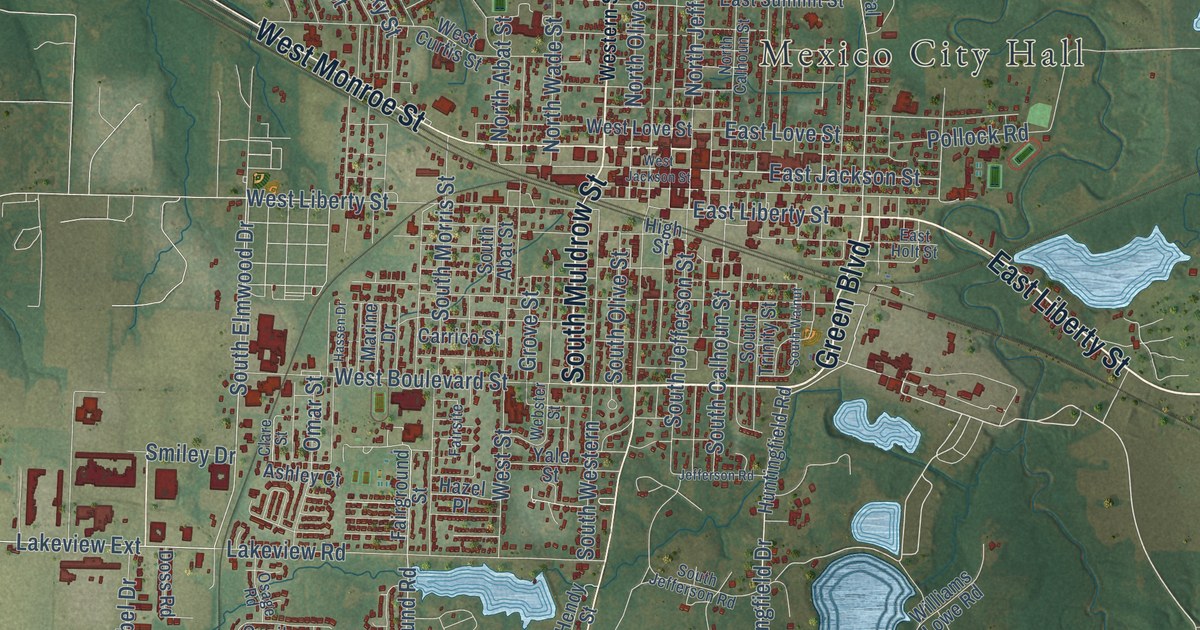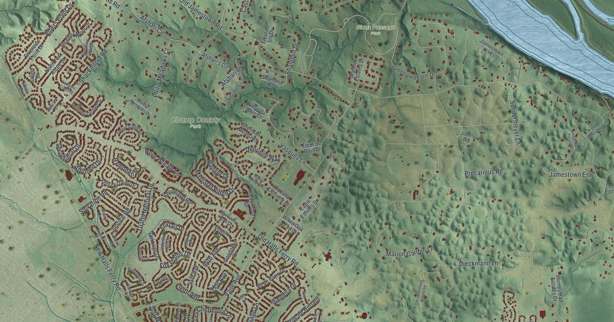
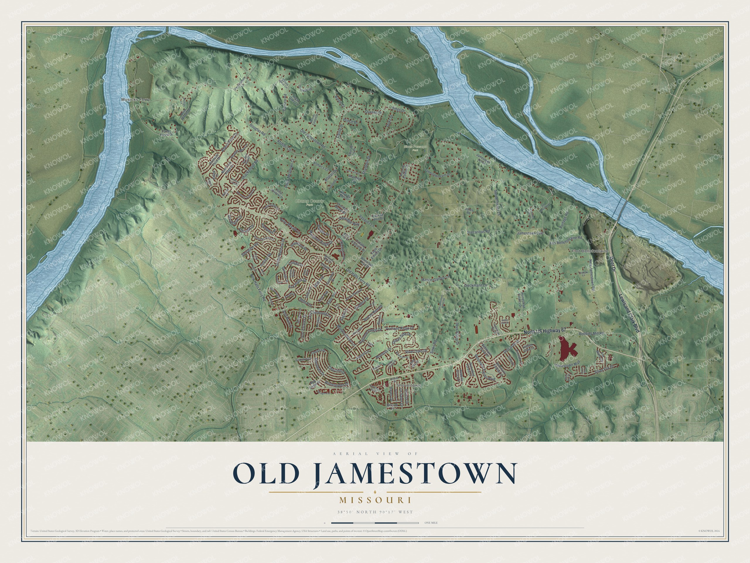
This beautifully detailed map of Old Jamestown, Missouri was created in 2026 using aerial imagery combined with modern topographical, census, street and landmark data. It’s a one-of-a-kind view of Old Jamestown that combines accurate data with a vintage aesthetic. The map shows every building in its true location, many of the roads carry their names, and the shaded topographic relief shows the shape of the land.
Explore an aerial view of Old Jamestown, Missouri
On the map you’ll find Musicks Ferry, Fort Bellefontaine, Shoveltown, Champ County Park, and Sioux Passage Park, along with North US Highway 67, Lewis and Clark Boulevard, Deer Drive, Afshari Circle, New Jamestown Road, Le Sabre Drive, Old Jamestown Road, and more. If you look closely you can even find your house accurately drawn in its correct location. Zoom in on the preview to look for yours.
Did you know this piece of Old Jamestown, Missouri history?
From Arcadia Publishing: "With only two miles separating the Missouri and Mississippi Rivers just north of Old Jamestown, its ferries once provided connections from St. Louis and Florissant to St. Charles County and Illinois."
Take a closer look at the Old Jamestown map
Street and place names on the Old Jamestown, Missouri map
These names are printed on the map of Old Jamestown, Missouri.
Places: Musicks Ferry, Fort Bellefontaine, Shoveltown, Champ County Park and Sioux Passage Park.
Streets and roads: North US Highway 67, Lewis and Clark Boulevard, Deer Drive, Afshari Circle, New Jamestown Road, Le Sabre Drive, Old Jamestown Road, New Halls Ferry Road, Old Halls Ferry Road, Sinks Road, Vaile Avenue, Douglas Road.
More street names, A to Z
90th Avenue, 91st Avenue, 94th Avenue, 95th Avenue, Aberdeen Drive, Affirmed Drive, Afshari's Circle, Afshari Drive, Albers Point Drive, Argonne Estates Drive, Argonne Forest Drive, Arpent Lane, Ashbury Crossing Drive, Av de Paris Drive, Avocado Lane, Bangor Drive, Baron Court, Baville Court, Behlmann Estates Lane, Behlmann Farms Boulevard, Behlmann Grove Place, Belcroft Drive, Bolin Woods Drive, Bugle Run Drive, Caballo Crossing Drive, Candlewyck Club Drive, Carrico Manor Lane, Carrico Road, Castle Drive, Chaste Street, Chelsea Drive, Churchill Drive, Concord Drive, Cousteau Drive, Dalton View Court, Davey Drive, Debridge Way, Deer Valley Drive, Delcastle Drive, Del Lago Drive, Dieckmann Lane, Duke Drive, Eagle Estates Drive, Edisto Court, English Saddle Road, Faon Court, Fleur de Bois Drive, Fleur de Lis Drive, Fleur du Bois Court, Fort Bellefontaine Road, Fox Manor Drive, Fox Plains Drive, Foxtail Drive, Frais Drive, Galaxie Drive, Goodness Drive, Grand National Drive, Hampden Place, Heather Moor Drive, Hermans Orchard Drive, Hidden Cove Lane, Hirondelle Lane, Homestead Estates Drive, Hounds Hill Drive, Houshang Lane, Inlet Isle Drive, Invicta Drive, James River Drive, Jamestown Acres, Jamestown Bay Drive, Jamestown Ests, Jamestown Farm Drive, Jamestown Forest Drive, Jamestown Mall, Jones Road, Jost Estates Drive, Jost Main Street, Jost Manor Drive, Justice Court, Justice Road, Karsten Drive, Keeneland Road, Keevenshore Drive, Kentucky Derby Drive, Kings Drive, Krenski Lane, Legan Oaks Lane, Les Cherbourg Lane, Logis Lane, Lost Fox Drive, Margaret Ridge Drive, Marie Way Court, Marion Garden Lane, Mercy Drive, Mondoubleau Lane, Monsols Drive, Newbury Crossing, New Castle Drive, North Fork Ridge Drive, Ocean Side Drive, Old Jamestown Lane, Old Jamestown Winery Road, Paschon Place, Persimmon Lane, Philip Meadows Court, Phillip Meadows Drive, Phillips Lane, Pointe Forest Drive, Portage Road, Portland Ridge Drive, Precarious Road, Prince Drive, Queens Drive, Quindaro Drive, Richmond Forest Drive, Riverfront Drive, River Oaks Drive, Riverside Point Drive, Robbins Grove Drive, Robbins Mill Road, Rose Wreath Lane, Rouvre Drive, Rue de Renard, Salida Court, Salvation Road, Secretariat Drive, Shackelford Road, Shamblin Drive, Shamblin Road, Sheridan Meadows, Silver Fox Drive, Soho Drive, Springtime Lane, Sprinters Row Drive, Stanford Place Drive, Sundermeyer Lane, Sunland Drive, Trinity Circle, Vago Lane, Vasquez Lane, Viembra Drive, Waterfall Drive, Watersedge Drive, Wehmer Estates Drive, White Oak Trail Drive, Wild Fox Court, Wintergreen Drive, Wolcott Court.
See the Old Jamestown, Missouri map on a wall
The Old Jamestown map as an 18 x 24 inch print in a black frame.

This beautifully detailed map of Old Jamestown makes an attractive addition to your office, library, or den, and it can even be used to teach children the geography and history of the area. It also makes a great gift for anyone who grew up in Old Jamestown or moved away. When you’re done exploring, click here to get your copy of the Old Jamestown map.