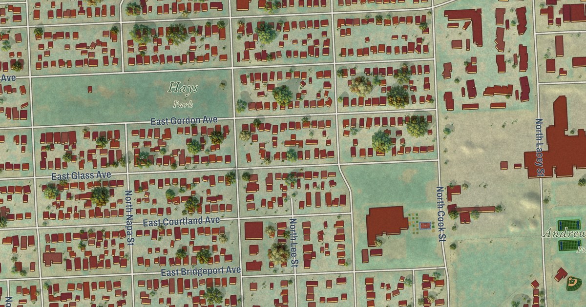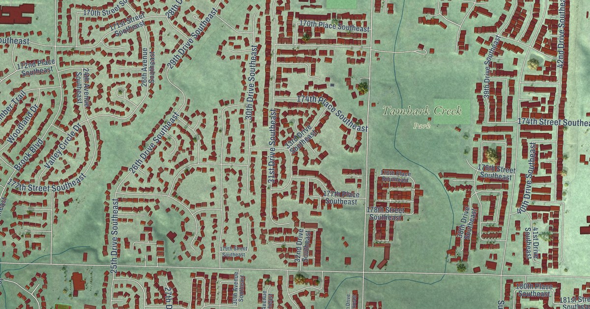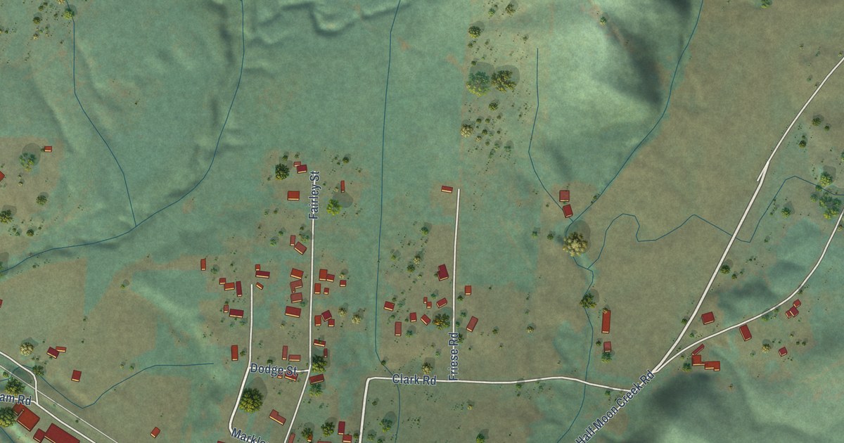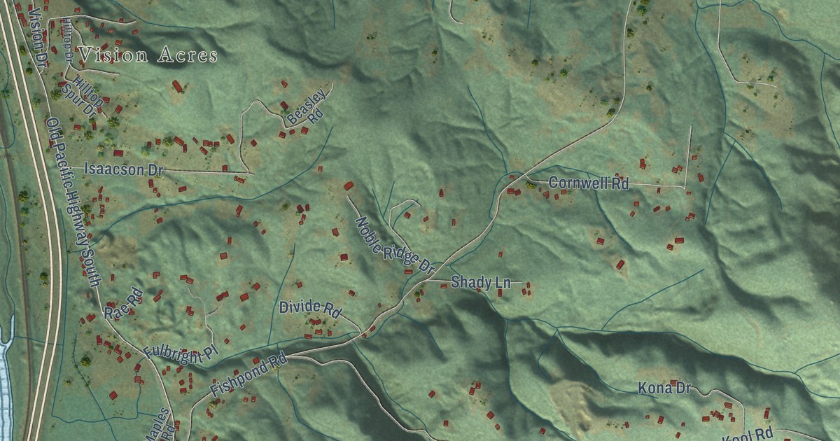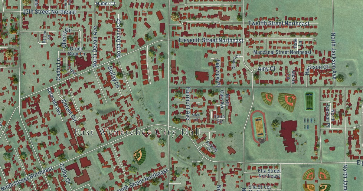
This beautifully detailed map of East Wenatchee, Washington was created in 2026 using aerial imagery combined with modern topographical, census, street and landmark data. It’s a one-of-a-kind view of East Wenatchee that combines accurate data with a vintage aesthetic. The map shows every building in its true location, many of the roads carry their names, and the shaded topographic relief shows the shape of the land.
Explore an aerial view of East Wenatchee, Washington
On the map you’ll find East Wenatchee City Hall, Tedford Park, East Wenatchee Bench, and Columbia River Bridge, along with Sunset Highway, Eastmont Avenue, 15th Street Northeast, Hannah Way, 19th Street Northeast, South Highline Drive, Corum Circle, North Baker Avenue, and more. If you look closely you can even find your house accurately drawn in its correct location. Zoom in on the preview to look for yours.
Did you know this piece of East Wenatchee, Washington history?
From HistoryLink.org: "Because of an abundance of open space, it became the site of the Wenatchee Golf and Country Club and Wenatchee's two regional airfields, Fancher Field and Pangborn Memorial Airport, which is still in use and is named after celebrity aviator Clyde Pangborn (1894-1958) who made headlines around the world when he belly-landed in East Wenatchee after a non-stop flight from Japan in 1931."
Take a closer look at the East Wenatchee map
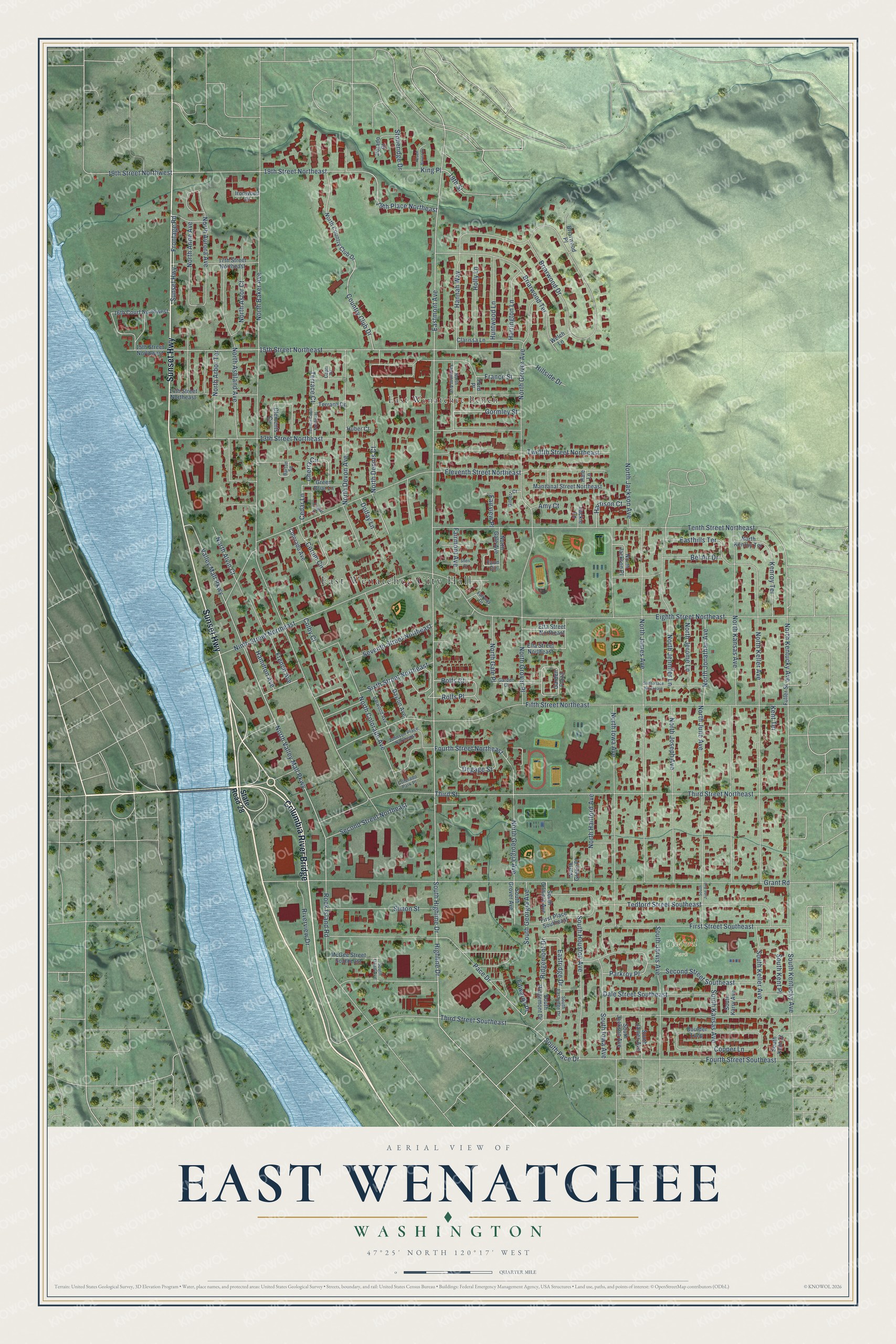
Street and place names on the East Wenatchee, Washington map
These names are printed on the map of East Wenatchee, Washington.
Places: East Wenatchee City Hall, Tedford Park and East Wenatchee Bench.
Streets and roads: Sunset Highway, Columbia River Bridge, Eastmont Avenue, 15th Street Northeast, Hannah Way, 19th Street Northeast, South Highline Drive, Corum Circle, North Baker Avenue, North Georgia Avenue, 19th Street Northwest, Edwards Place.
More street names, A to Z
13th Street Northeast, 14th Street Northeast, 15th Street Northwest, 16th Court Northwest, 17th Street Northeast, 19th Place Northeast, 19th Street, Amy Court, Barton Square, Bel Air Drive, Boulder Loop, Briarwood Drive, Briarwood Place, Briarwood Terrace, Capri Drive, Cedar Court, Cedar Lane, Cherry Circle, Clarissa Lane, Clements Circle, Colby Court, Colorado Avenue, Colorado Park Place, Copper Lane, Country Club Drive, Dale Street Southeast, Darwood Avenue, Dayton Avenue, Degage Street, Dolfay Lane, Dorado Court, Easthills Terrace, Eastridge Drive, Eighth Street Northeast, Eleventh Street Northeast, Ella Street Northeast, Etta Street Northeast, Fairmont Avenue, Fairview Place, Fairway Drive, Faun Circle, Fifth Street Northeast, First Place Southeast, First Street Southeast, Ford Place, Fourth Street Northeast, Fourth Street Southeast, France Street, French Avenue, Frontage Road, Fuller Street, Garden Court, Garden Plaza, Gilbert Court, Gormley Street, Grant Road, Green Briar Lane, Hale Lane, Hamilton Avenue, Harrington Lane, Harrison Court, Highline Drive, Hillside Drive, Holly Lane, Huber Court, Huntwood Lane, Ironwood Court, Jackie Lane, Johnson Place Northeast, Kenroy Terrace, Kent Terrace, King Place, Manzanal Street Northeast, McGee Street Southeast, Ninth Street Northeast, North Alvin Court, North Anne Avenue, North Arbor Terrace, North Ashland Avenue, North Astor Court, North Aurora Avenue, North Colorado Avenue, North Country Club Drive, North Dennis Court, North Devon Avenue, North Fairmont Avenue, North Gale Avenue, North Gale Place, North Green Place, North Grover Avenue, North Grover Place, North Hanford Avenue, North Iowa Avenue, North Jackson Avenue, North Jackson Place, North James Avenue, North Jennifer Lane, North Jerome Lane, North Jonathan Avenue, North Joseph Avenue, North June Avenue, North Kansas Avenue, North Keller Avenue, North Kenroy Terrace, North Kentucky Avenue, North Valley Mall Parkway, Pace Drive, Parkroy Place, Peach Haven Court, Ridgemont Drive, Riverview Drive, Rock Island Road, Rolfs Court, Rolfs Place, Second Street Northeast, Second Street Southeast, Seventh Street Northeast, Sheri Court, Simon Street, Sixth Place Northeast, Sixth Street Northeast, South Dean Avenue, South Eastridge Drive, South Georgia Avenue, South Gilmore Avenue, South Grover Avenue, South Houston Avenue, South Iowa Avenue, South Jackson Avenue, South James Avenue, South Jarvis Avenue, South June Avenue, South Kansas Avenue, South Karry Avenue, South Keller Avenue, South Kent Court, South Kent Place, South Kentucky Avenue, South Pace Drive, South Ridgemont Drive, State Road 28, Stoneridge Drive, Tedford Street Southeast, Tenth Street Northeast, Terrace Court, Terrace Court Northeast, Terrace Drive, Third Street, Third Street Northeast, Third Street Southeast, Twelfth Street Northeast, Valley Mall Parkway, Welch Lane.
See the East Wenatchee, Washington map on a wall
The East Wenatchee map as an 18 x 24 inch print in a black frame.

This beautifully detailed map of East Wenatchee makes an attractive addition to your office, library, or den, and it can even be used to teach children the geography and history of the area. It also makes a great gift for anyone with East Wenatchee roots. When you’re done exploring, click here to get your copy of the East Wenatchee map.