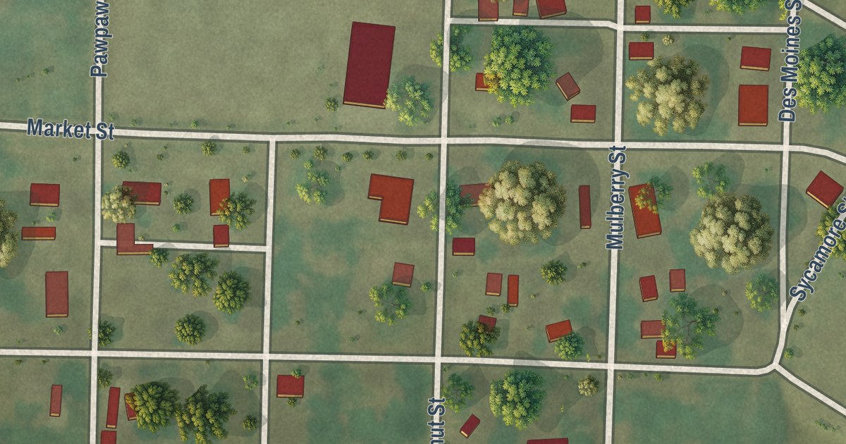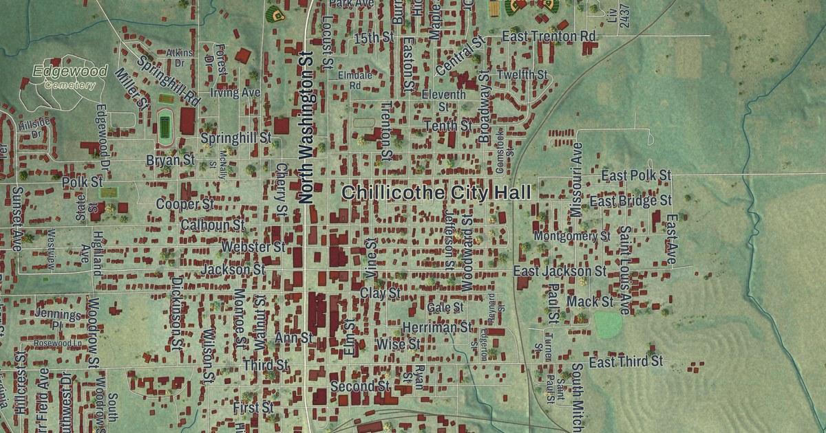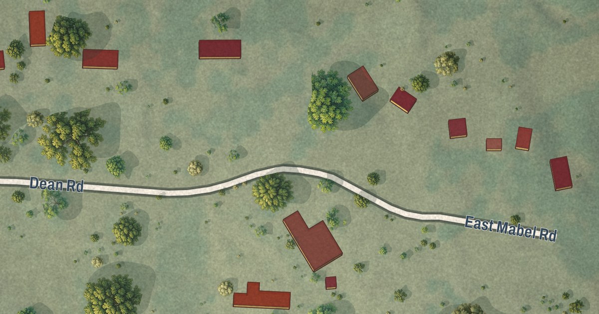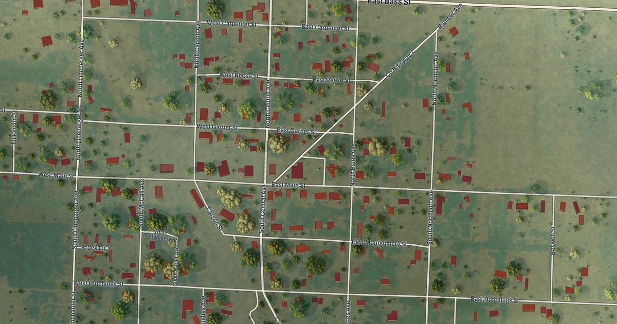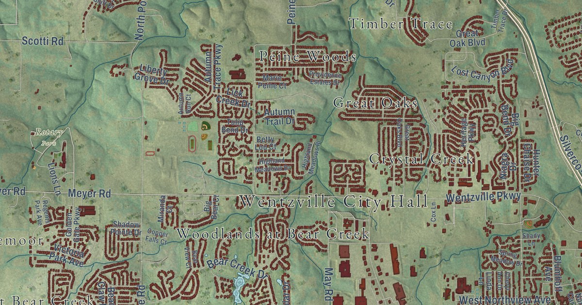
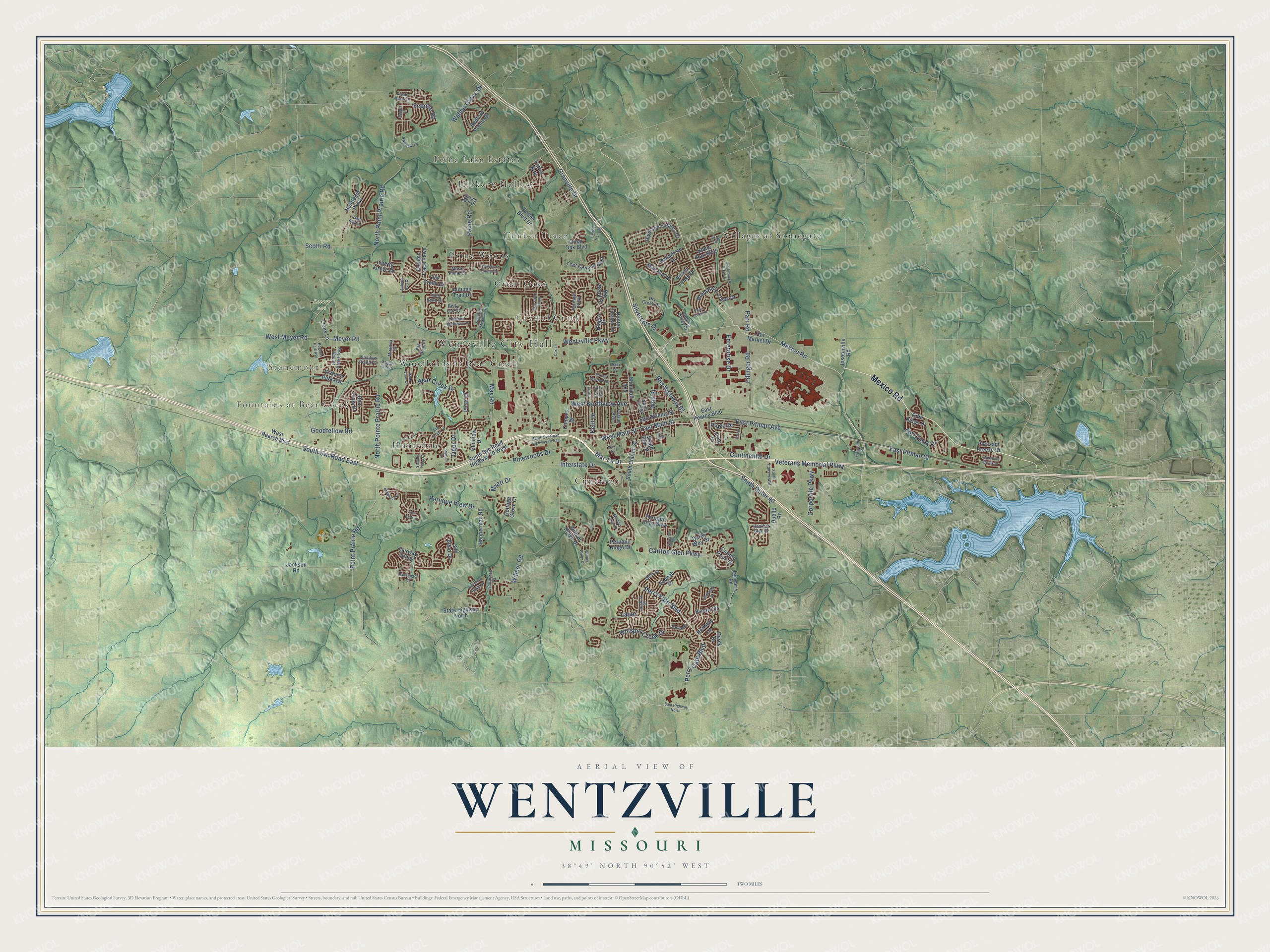
This beautifully detailed map of Wentzville, Missouri was created in 2026 using aerial imagery combined with modern topographical, census, street and landmark data. It’s a one-of-a-kind view of Wentzville that combines accurate data with a vintage aesthetic. The map shows every building in its true location, many of the roads carry their names, and the shaded topographic relief shows the shape of the land.
Explore an aerial view of Wentzville, Missouri
On the map you’ll find Wentzville City Hall, Stonemoor, Fountains at Bear Creek, Rotary Park, Cimarron, Crystal Creek, Great Oaks, Hickory Hollow, Highland Estates, Huntsdale, Peine Lake Estates, Peine Woods, and more. If you look closely you can even find your house accurately drawn in its correct location. Zoom in on the preview to look for yours.
Did you know this piece of Wentzville, Missouri history?
From the State Historical Society of Missouri: "The post office was established here by 1867. It was named in honor of a Mr. Wentz, chief engineer of the St. Louis, Kansas City and Northern Railroad, under whose direction the place was platted and surveyed in 1855."
Take a closer look at the Wentzville map
Street and place names on the Wentzville, Missouri map
These names are printed on the map of Wentzville, Missouri.
Places: Wentzville City Hall, Stonemoor, Fountains at Bear Creek, Rotary Park, Villages at Stonegate, Cimarron, Hickory Hollow, Woodlands at Bear Creek, Peine Woods, Timber Trace, Peine Lake Estates, Huntsdale, Great Oaks and Crystal Creek.
Streets and roads: Mexico Road, Wentzville Parkway, Veterans Memorial Parkway, Perry Kate Boulevard, Bus Highway 61, South Svc Road East, East Pitman Avenue, Sceptre Road, Interstate Drive, West Main Street, East Main Street, Mar-Le Drive.
More street names, A to Z
Albany Manor Drive, Autumn Run Court, Autumn Trace Parkway, Autumn Trail Drive, Ballantrae Drive, Bear Claw Drive, Bear Creek Drive, Bear View Court, Bedford Pointe Drive, Bethany Lane, Betty Lou Court, Big Bear Court, Big Bend Drive, Blumhoff Avenue, Boulder Creek Drive, Bridgeton Drive, Brookshire Creek Drive, Campus Drive, Carlton Glen Parkway, Carlton Point Drive, Cheryl Ann Drive, Choctaw Drive, Continental Drive, Copper Falls Court, Corporate Parkway, Cottage Grove Court, Cox Lane, Delaney, Derby Way Drive, Derek Drive, Dry Creek Road, Duello Road, East Highway North, East Koenig Street, East Pearce Boulevard, East Pitman Street, Edinger Road, Elm Creek Drive, Enterprise Drive, Etta Street, Fair Bluff Drive, Fair Market Drive, Fairway Valley, Forest Way, Foster Lane, Fox Creek Drive, Freymuth Road, Golden Gate Parkway, Goodfellow Road, Goss Court, Granville Drive, Great Oak Boulevard, Great Oaks Boulevard, Hampton Ridge Drive, Hannah Drive, Heather Glen Drive, Hepperman Road, Heritage Parkway, Hidden Valley Drive, Highland Estates Drive, Highland Meadows Drive, Highland Meadows Place, Honeysuckle Creek Drive, Hunter Chaise Drive, Huntleigh Parkway, Ironhorse Court, Jackson Road, Josephville Road, Joshua Drive, Juno Drive, Kammeier Road, Kellerton Place, Kent Drive, Kevin Drive, Landmark Drive, Lauer, Lewis Street, Lias Way, Liberty Grove Drive, Lick Creek Drive, Linda Lane, Lions Lane, Lost Canyon Boulevard, Marie Peine Court, May Road, Meyer Road, Miranda Court, Myatt Drive, Niagra Drive, North Carr Street, North Pointe Prairie Road, North Point Prairie Road, Paddington Street, Parr Road, Pearl Creek Drive, Peine Road, Perry Cate Boulevard, Peruque Hills Parkway, Peruque Ridge Drive, Peruque View Drive, Picket Fence Drive, Pilgrim Avenue, Pinewoods Drive, Pitman Drive, Plaza Place, Pleasant Breeze Drive, Point Prairie Road, Polar Drive, Providence Estates Drive, Ranger Drive, Regents Park Avenue, Rifle Ridge Drive, Scotti Road, Shadow Pines Drive, Shadow Pointe Drive, Shady Lane, Silo Bend Drive, Silvercote Drive, South Callahan Road, South Church Street, South Elm Street, South Outer 40, South Svc Road Highway 70 East, South Svc Road Highway 70 West, Split Rail Drive, Spring Meadow Drive, Spring Mill Drive, State Highway North, Stone Run Boulevard, Sunshine Brook Drive, Swantner Lane, Tiger Drive, Timber Bluff Drive, Timber Trace Drive, Tulip Bend Drive, Valley Bluff Drive, Victoria Park Avenue, Wall Street, Walnut Grove Drive, West Meyer Road, West Northview Avenue, West Pearce Boulevard, Whisper Creek Drive, Wilmer Ridge Drive, Wilmer Road, Wilmer Valley Drive.
See the Wentzville, Missouri map on a wall
The Wentzville map as an 18 x 24 inch print in a black frame.

This beautifully detailed map of Wentzville makes an attractive addition to your office, library, or den, and it can even be used to teach children the geography and history of the area. It also makes a great gift for anyone who grew up in Wentzville or moved away. When you’re done exploring, click here to get your copy of the Wentzville map.