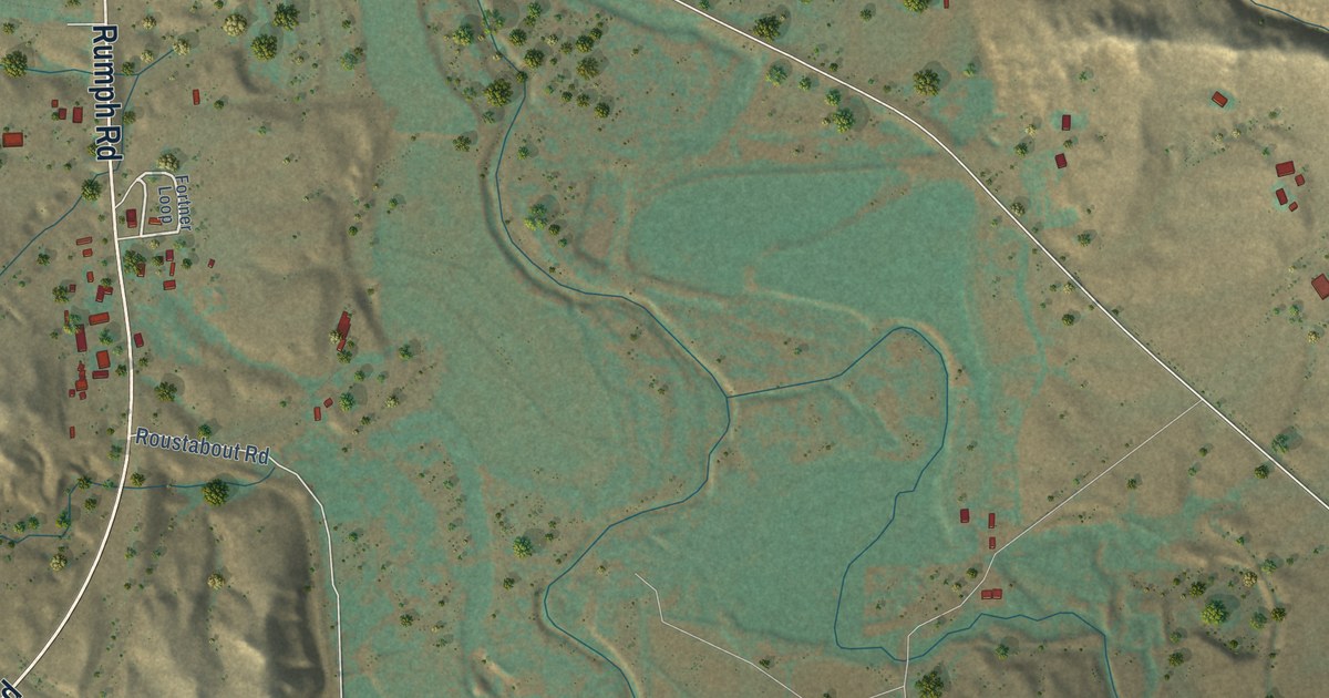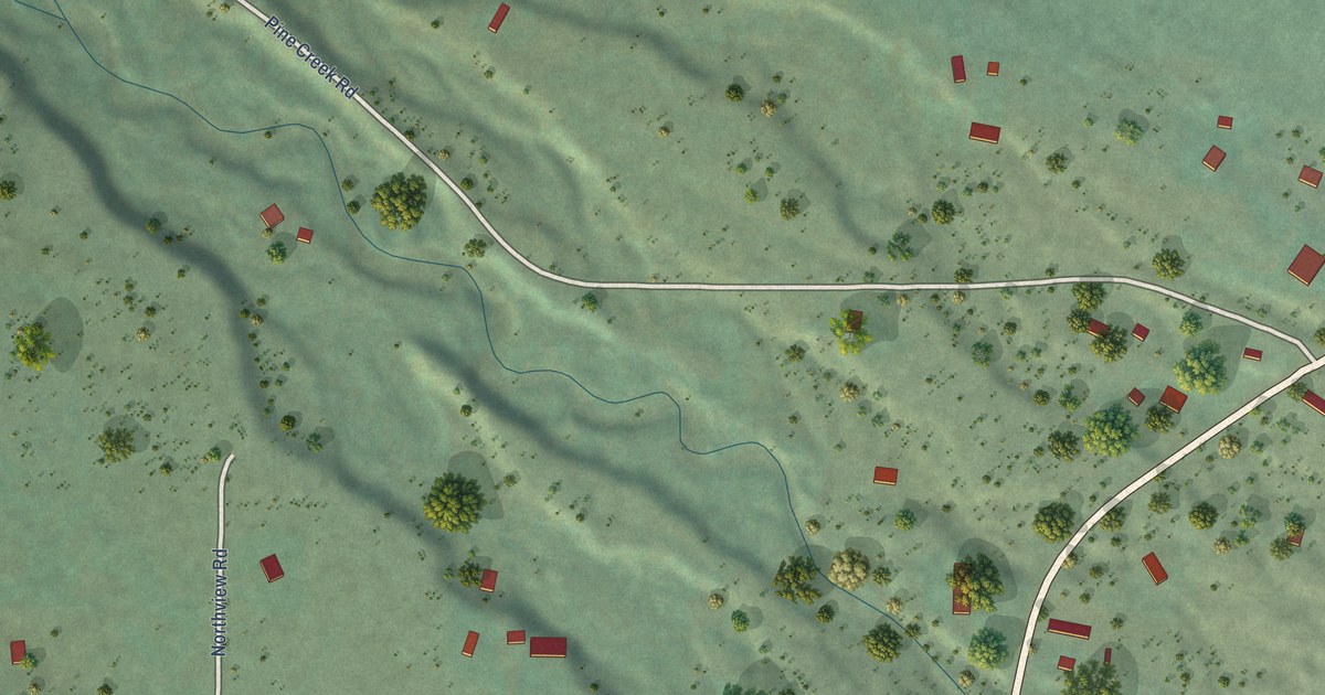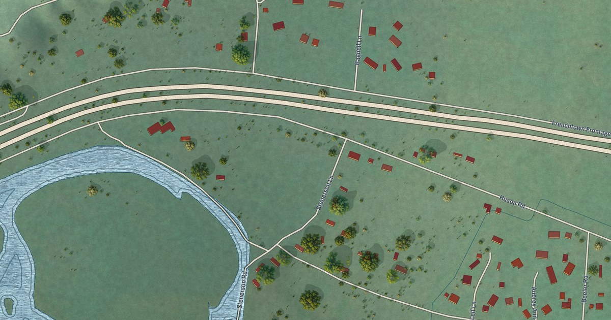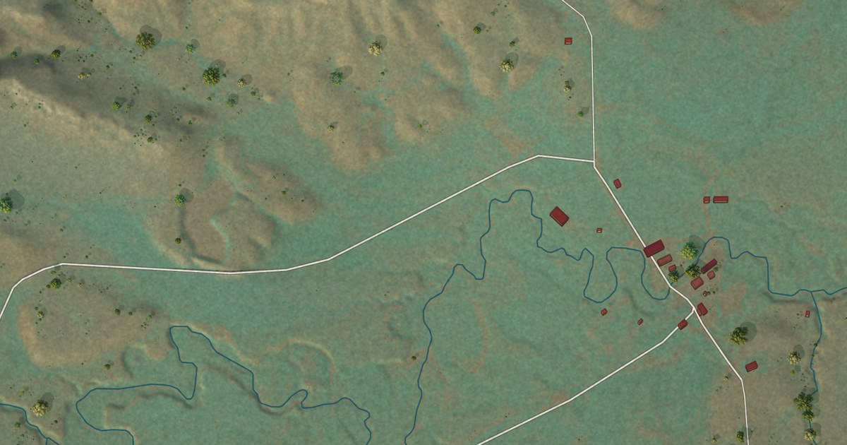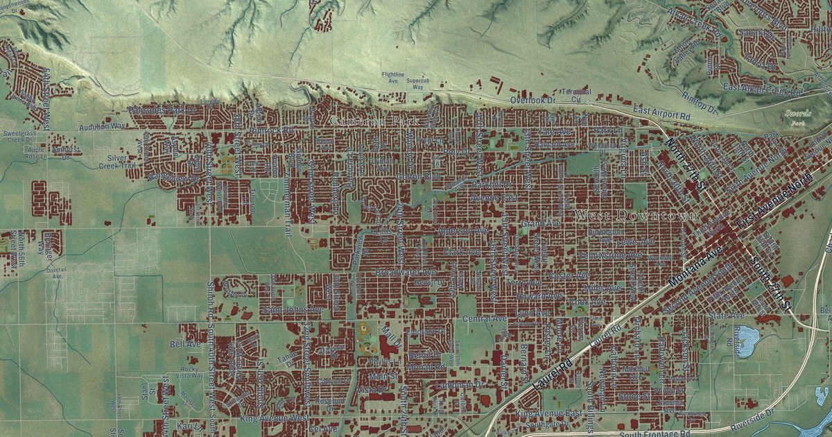
This beautifully detailed map of Billings, Montana was created in 2026 using aerial imagery combined with modern topographical, census, street and landmark data. It’s a one-of-a-kind view of Billings that combines accurate data with a vintage aesthetic. The map shows every building in its true location, many of the roads carry their names, and the shaded topographic relief shows the shape of the land.
Explore an aerial view of Billings, Montana
On the map you’ll find West Downtown, Billings Heights, Phipps Park, Swords Park, Cameron Park, and Rimrock, along with Montana Avenue, Main Street, Laurel Road, North 27th Street, First Avenue North, South 27th Street, and more. If you look closely you can even find your house accurately drawn in its correct location. Zoom in on the preview to look for yours.
Did you know this piece of Billings, Montana history?
From the Montana Historical Society: "Offering an eclectic architectural mix, Old Town tells the story of Billings’ growth. The Northern Pacific founded the community as a railroad hub in 1882, and by the end of 1883, some 400 canvas tents and crude buildings lined the streets."
Billings is a city in Yellowstone County.
Take a closer look at the Billings map
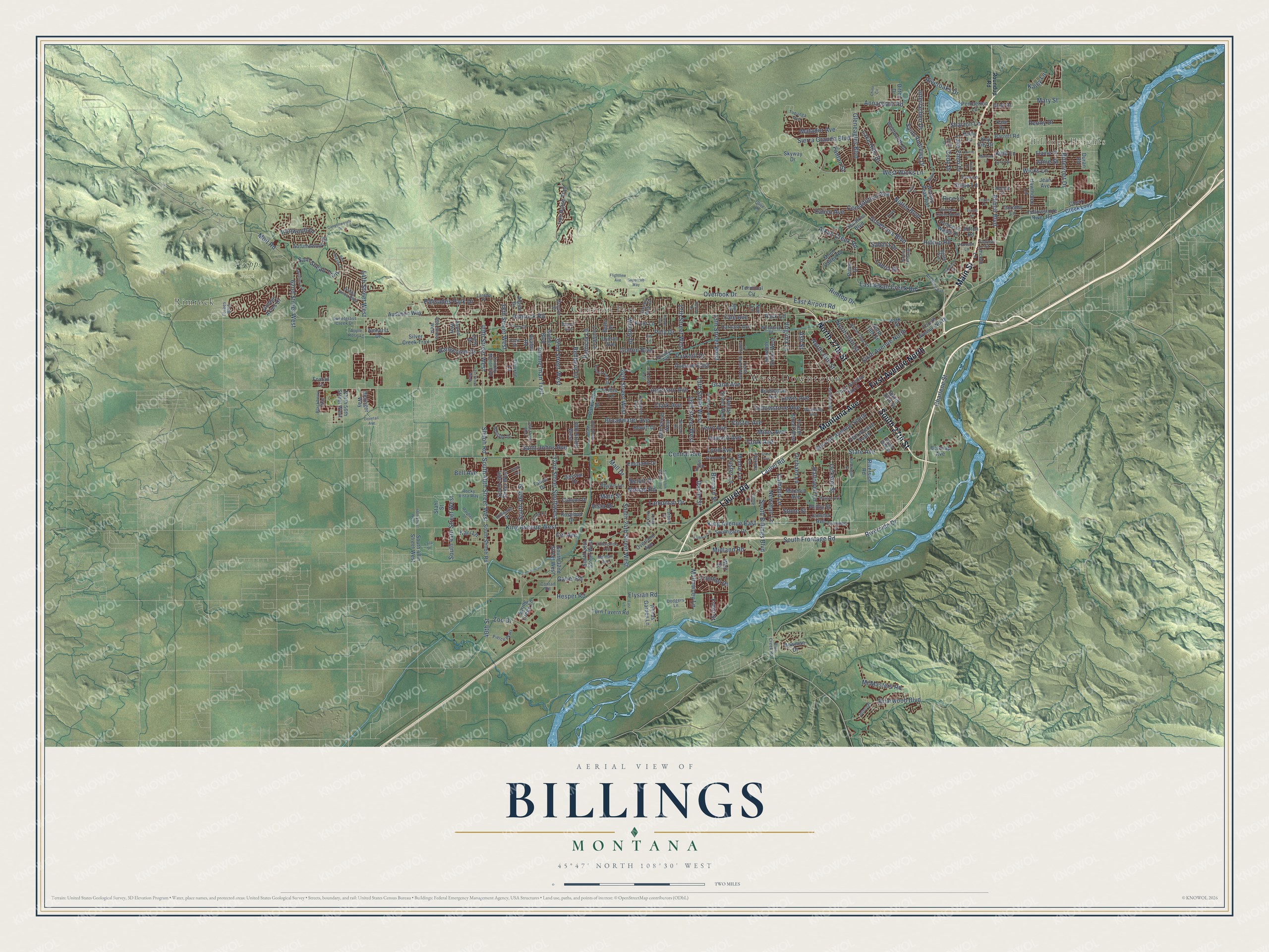
Street and place names on the Billings, Montana map
These names are printed on the map of Billings, Montana.
Places: West Downtown, Billings Heights, Phipps Park, Swords Park, Cameron Park and Rimrock.
Streets and roads: Montana Avenue, Main Street, Laurel Road, North 27th Street, First Avenue North, South 27th Street, Grand Avenue, East Airport Road, Bench Boulevard, Sixth Avenue North, State Avenue, Alkali Creek Road.
More street names, A to Z
13th Street West, 14th Street West, 15th Street West, 16th Street West, 17th Street West, 19th Street West, 21st Street West, 22nd Street West, 24th Street West, 28th Street West, 30th Street West, 32nd Street Southwest, 32nd Street West, 35th Street West, 38th Street West, 40th Street, 40th Street West, 41st Street West, 46th Street West, 48th Street West, 54th Street West, 62nd Street West, Agate Avenue, Alderson Avenue, Alpine Drive, Amherst Drive, Anchor Street, Annandale Road, Annas Garden Lane, Apple Rose Lane, Aronson Avenue, Ash Street, Aspen Way, Audubon Way, Autumnwood Drive, Avalon Road, Avenue East, Azalea Lane, Banff Avenue, Barley Circle, Barrett Road, Bazaar Exchange, Beech Avenue, Belknap Avenue, Bell Avenue, Beloit Drive, Ben Hogan Lane, Beringer Way, Bernard Street, Beth Drive, Bitterroot Drive, Blackberry Way, Blue Creek Road, Bobby Jones Boulevard, Bowman Drive, Brayton Street, Briarwood Boulevard, Broadwater Avenue, Burlington Avenue, Calhoun Lane, Calico Avenue, Cambridge Drive, Canyon Drive, Canyonwoods Drive, Carbon Street, Cel Avenue, Central Avenue, Charlene Street, Cherry Creek Loop, Chino Circle, Clark Avenue, Cline Avenue, Cody Drive, Colin Drive, Colton Boulevard, Concord Drive, Conrad Road, Constitution Avenue, Conway Street, Cook Avenue, Country Club Circle, Country Manor Boulevard, Crist Drive, Crow Lane, Custer Avenue, Daniel Street, Daystar Drive, Ditton Drive, Division Street, Dodgers Lane, Dorothy Lane, Dovetail Avenue, Duran Road, East Alkali Creek Road, East Lane, Easy Street, Elaine Street, Eldorado Drive, Elysian Road, Enterprise Avenue, Euclid Lane, Fantan Street, Fifth Avenue South, Flightline Avenue, Florine Lane, Foote Street, Forbes Boulevard, Forest Park Drive, Foster Lane, Fourth Avenue North, Fourth Street West, Foxtail Lane, Frontier Drive, Front Street, Gabel Road, Gleneagles Boulevard, Golden Acres Drive, Golden Boulevard, Governors Boulevard, Hallowell Lane, Hansen Lane, Harrow Drive, Harvard Avenue, Hawthorne Lane, Heritage Drive, Hesper Road, Hewitt Drive, Hilltop Road, Holman Avenue, Hoover Avenue, Howard Avenue, Interlachen Drive, Internal, Iris Lane, Iron Horse Trail, Ironwood Drive, Jackson Street, Janie Street, Jansma Avenue, Jean Avenue, Joan Drive, June Drive, Kale Drive, Kaley Lane, Kari Lane, Kathy Lane, Kelby Drive, Key City Drive, Killarney Street, King Avenue East, King Avenue West, King Park Drive, Kyhl Lane, Laila Drive, Lake Elmo Drive, Lake Hills Drive, Lampman Drive, Laredo Place, Laurie Lane, Lewis Avenue, Lillis Lane, Lincoln Lane, Logan Lane, Louise Lane, Lyman Avenue, Lynch Drive, Lynn Avenue, Mall Drive, Marillac Street, Mary Street, Matador Avenue, Mattson Lane, McMasters Road, Midland Road, Miles Avenue, Milton Road, Mitchell Avenue, Molt Road, Monad Road, Moon Valley Road, Moore Lane, Morgan Avenue, Mullowney Lane, Nelson Drive, Newman Lane, North 19th Street, North 22nd Street, North 24th Street, North 30th Street, North 56th Street West, Nutter Boulevard, Nye Lane, Olive Lane, Orchard Lane, Overland Avenue, Overlook Drive, Palisades Park Drive, Parkhill Drive, Park Lane, Park Place, Parkview Drive, Parkway Lane, Patricia Lane, Pemberton Lane, Peony Drive, Phillip Street, Phyllis Lane, Pierce Parkway, Pinon Drive, Poly Drive, Prince of Wales Drive, Pryor Lane, Rangeview Drive, Regal Street, Rehberg Lane, Rice Lane, Rimrock Road, Rimtop Drive, Riveroaks Drive, Riverside Drive, Riverside Road, Rocky Vista Way, Rosebud Drive, Roundup Road, Sahara Drive, Saint Andrews Drive, Saint Johns Avenue, Sam Snead Trail, Second Avenue South, Senators Boulevard, Seventh Street West, Sharron Lane, Shaw Lane, Shiloh Road, Sierra Granda Boulevard, Silver Creek Trail, Sioux Lane, Skyway Drive, Solomon Avenue, South 19th Street West, South 24th Street, South 24th Street West, South 29th Street West, South 30th Street, South 32nd Street West, South 36th Street, South 38th Street West, South 40th Street West, South 44th Street West, South 48th Street West, South Billings Boulevard, South Frontage Road, Southgate Drive, South Shiloh Road, Spalding Avenue, Spring Creek Lane, Stahl Street, Stillwater Drive, Stone Street, Supercub Way, Sweetgrass Creek Drive, Tabriz Drive, Tahoe Drive, Tenth Street West, Terminal Circle, Terry Avenue, Third Avenue North, Tiburon Lane, Toni Drive, Toole Court, Topanga Avenue, Turn Tavern Road, Twelfth Street West, Vickery Drive, Virginia Lane, Vista Drive, Washington Street, Watson Peak Road, Weil Street, Wentworth Drive, West Wicks Lane, Wicks Lane, Windsor Circle North, Woodland Drive, Woody Drive, Wyoming Avenue, Yale Avenue, Yellowstone Avenue, Yellowstone River Road, Zimmerman Trail, Zoo Drive.
See the Billings, Montana map on a wall
The Billings map as an 18 x 24 inch print in a black frame.

This beautifully detailed map of Billings makes an attractive addition to your office, library, or den, and it can even be used to teach children the geography and history of the area. It also makes a great gift for someone who left Billings and still calls it home. When you’re done exploring, click here to get your copy of the Billings map.