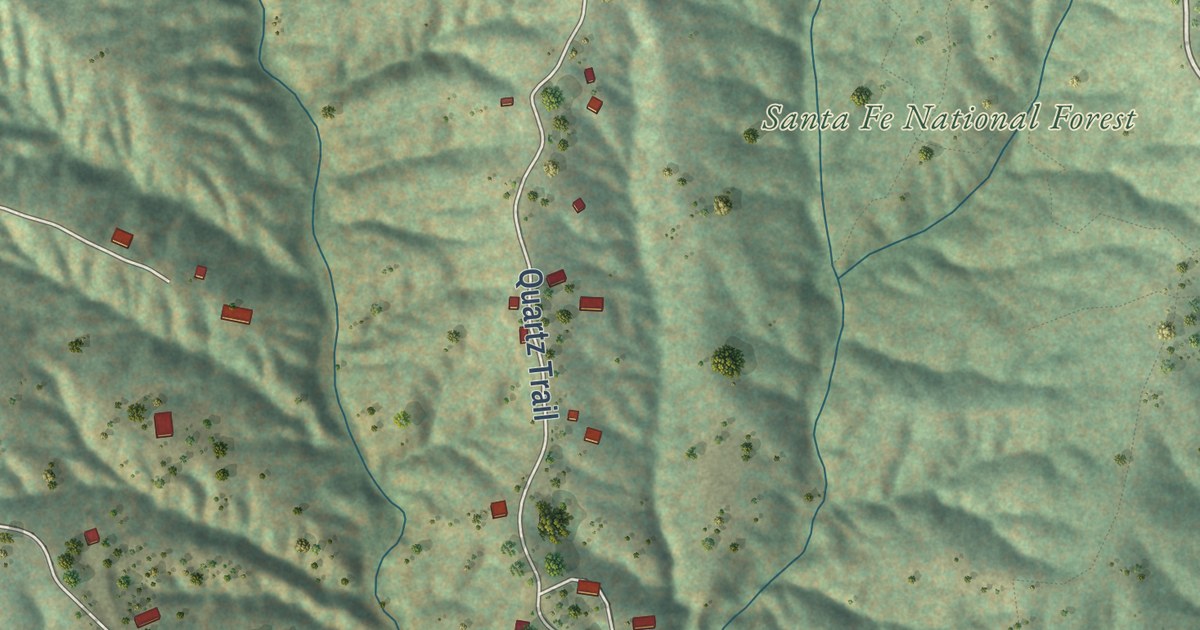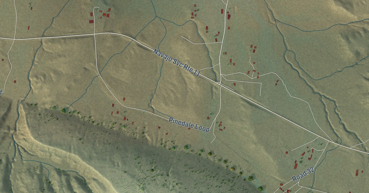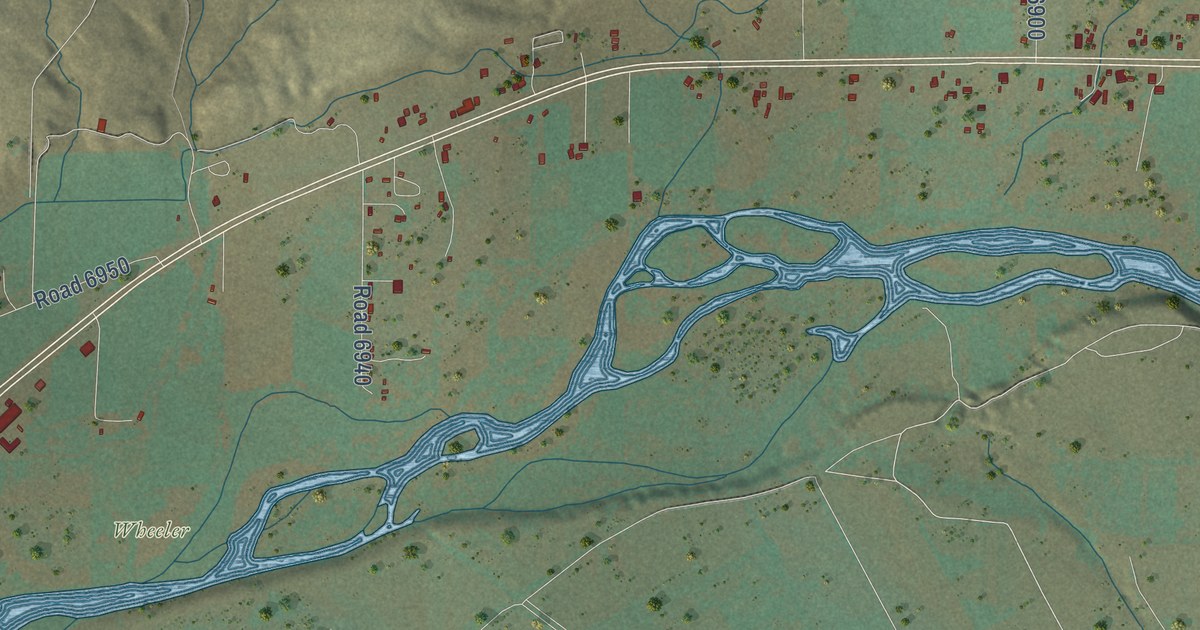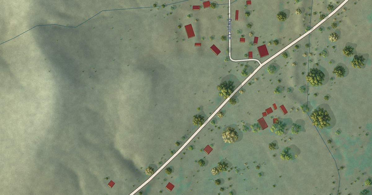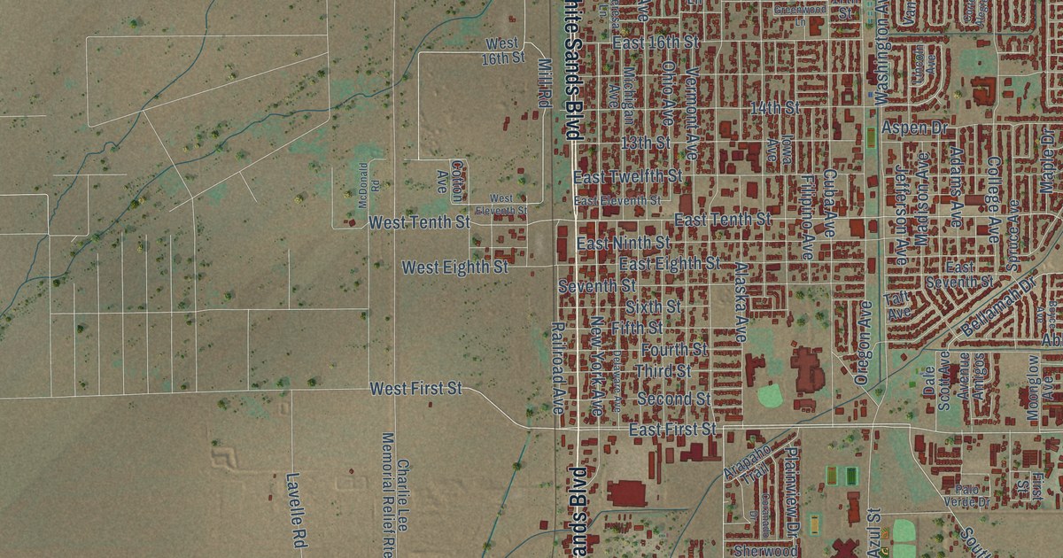
This beautifully detailed map of Alamogordo, New Mexico was created in 2026 using aerial imagery combined with modern topographical, census, street and landmark data. It’s a one-of-a-kind view of Alamogordo that combines accurate data with a vintage aesthetic. The map shows every building in its true location, many of the roads carry their names, and the shaded topographic relief shows the shape of the land.
Explore an aerial view of Alamogordo, New Mexico
On the map you’ll find Balloon Park, along with North White Sands Boulevard, South White Sands Boulevard, Highway 54 70, Highway 54 South, North Scenic Drive, Scenic Drive, South Florida Avenue, South Scenic Drive, Ocotillo Drive, West First Street, Walker Avenue, and more. If you look closely you can even find your house accurately drawn in its correct location. Zoom in on the preview to look for yours.
Did you know this piece of Alamogordo, New Mexico history?
From the Pacific States Publishing Company: "The railroad shops were among the first buildings to be completed at Alamogordo, but there is now (1906) a prospect of their removal. The town site is an arid plain, but was surveyed by the railroad engineers into fine, wide streets, and a great number of the rapidly growing cottonwoods planted everywhere."
Take a closer look at the Alamogordo map
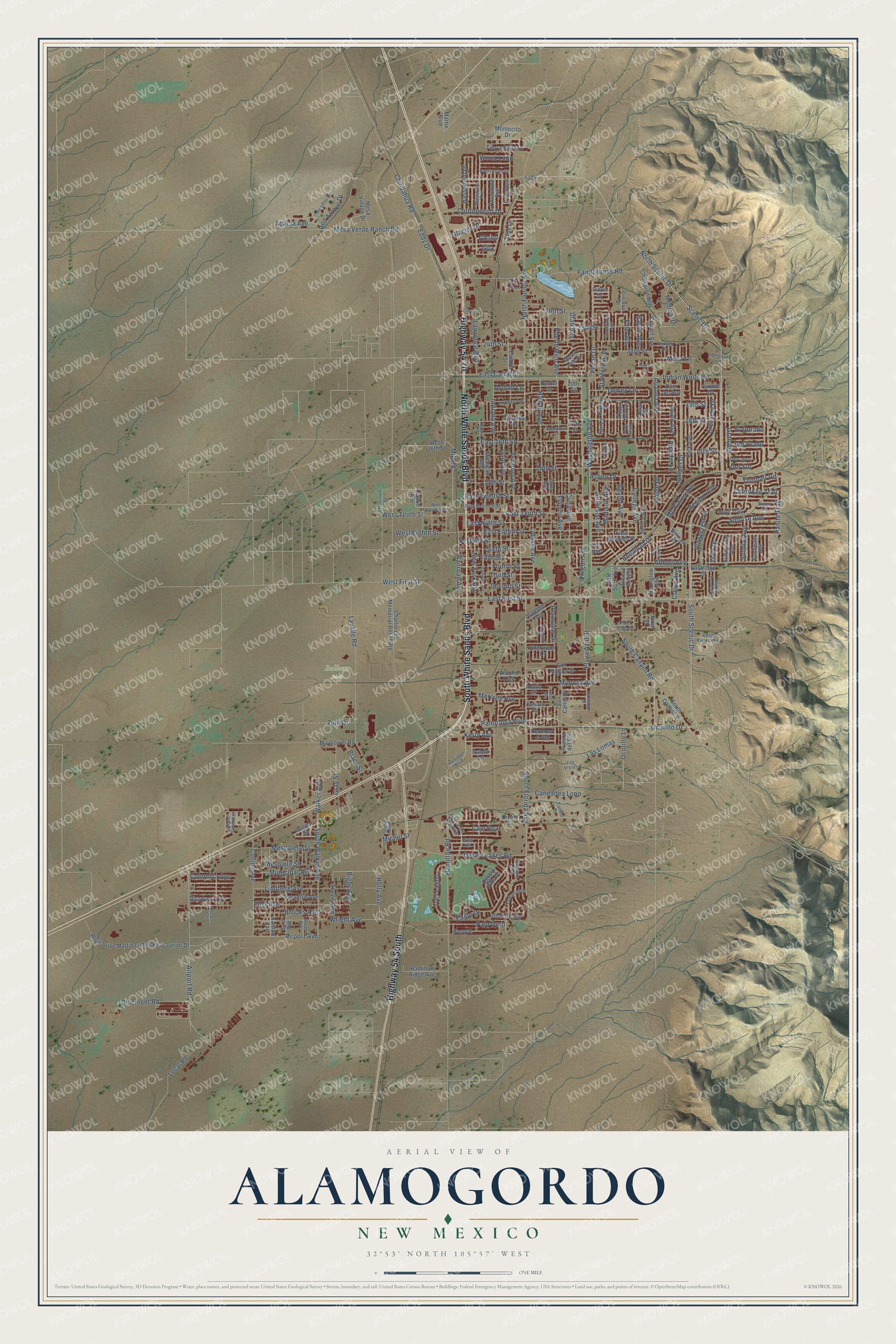
Street and place names on the Alamogordo, New Mexico map
These names are printed on the map of Alamogordo, New Mexico.
Places: Balloon Park.
Streets and roads: North White Sands Boulevard, South White Sands Boulevard, Highway 54 70, Highway 54 South, North Scenic Drive, Scenic Drive, South Florida Avenue, South Scenic Drive, Ocotillo Drive, West First Street, Walker Avenue, East First Street.
More street names, A to Z
13th Street, 14th Street, 15th Street, 17th Street, 18th Street, 19th Street, 20th Street, 23rd Street, 24th Street, 25th Street, 26th Street, 27th Street, A-095, Abbott Avenue, Acacia Avenue, Adams Avenue, Adobe Ranch Trail, Aero Loop, Airport Avenue, Airport Road, Alaska Avenue, Amber Skies Avenue, Apache Lane, Arapaho Trail, Arapho Trail, Arizona Avenue, Arnold Lane, Aspen Drive, Avenue Amigos, Azalia Street, Basswood Drive, Baylor Avenue, Bellamah Drive, Biggs Avenue, Birdie Loop, Black Street, Bluemont Road, Bonnell Drive, Bosque, Boyce Avenue, Brentwood Drive, Brooks Avenue, Byrd Avenue, Calle Verde Drive, Cambridge Avenue, Cam del Rey, Cameo Drive, Cam Real, Caneadea Loop, Carmel Drive, Catalina Lane, Chaco, Champion Way, Charlie Lee Memorial Relief Route, Cherokee Trail, Chihuahua Road, Cielo Vis, College Avenue, Collins Avenue, Columbia Avenue, Constant Drive, Coranado Drive, Cornell Avenue, Corte Alegre, Corte del Sol, Cotton Avenue, Cottonwood Drive, Crescent Drive, Crews Avenue, Cuba Avenue, Dale Scott Avenue, Delaware Avenue, Del Cerro, Del Prado, Del Sur, Desert Eve Drive, Desert Hills Drive, Desert Lakes Road, Dewey Lane, Dexter Lane, Discovery Avenue, Divers Cv, Dublin Lane, Eagle Drive, Earhart Avenue, East 16th Street, East Canal Street, East Eighth Street, East Eleventh Street, East Ninth Street, Eastridge Drive, East Seventh Street, East Tenth Street, East Twelfth Street, Eddy Drive, El Dorado, Endeavor Avenue, Eudora Street, Fairgrounds Road, Fayne Lane, Fifth Street, Filipino Avenue, First Street, Fourth Street, Gila, Glacier Drive, Granada, Gray Street, Greenwood Lane, Hamilton Boulevard, Hamilton Ridge Avenue, Hamilton Road, Hawaii Avenue, Hendrix Avenue, Hermoso el Sol, Hickory Drive, Holly Avenue, Hopi Trail, Hubbard Drive, Indiana Avenue, Indian Wells Road, Iowa Avenue, Ironwood Drive, James Street, Jefferson Avenue, Juniper Drive, Kerry Avenue, Lamar Circle, Las Lomas, Las Vistas, Lavelle Road, Lawrence Boulevard, Lincoln Avenue, Lindberg Avenue, Local Road, Lovers Lane, Madison Avenue, Maple Drive, Martin Boulevard, Mayflower Road, McDonald Road, Mc Kinley Avenue, Medical Drive, Mercury Avenue, Mesa Lane, Mesa Verde Ranch Road, Mesa Village Drive, Mescalero Street, Mesquite Street, Michel Street, Michigan Avenue, Mill Road, Mimosa Avenue, Montecito Drive, Moonglow Avenue, Mosswood Avenue, Municipal Avenue, Nevada Drive, New York Avenue, North Florida Avenue, Oakmont Drive, Ocotillo Lane, Ohio Avenue, Oregon Avenue, Otero Avenue, Paiute Trail, Palo Duro, Palo Verde Drive, Panorama Boulevard, Paradise Avenue, Park Avenue, Pecan Drive, Pinon Drive, Plainview Drive, Playa Azul Street, Post Avenue, Princeton Avenue, Puerto Rico Avenue, Puesta del Sol, Railroad Avenue, Red Arroyo Drive, Ridgecrest Drive, Rose Avenue, Rosewood Avenue, Saguaro Loop, San Carlos Street, San Miguel Street, Santiago Street, Second Street, Seventh Street, Shadow Mountain Drive, Sherwood Drive, Sixth Street, South Canyon Place, South Canyon Road, South Walker Avenue, Spruce Avenue, Stanford Avenue, Stapp Avenue, Sunbeam Avenue, Sundial Avenue, Sunny Circle, Sunnyside Avenue, Sunrise Avenue, Taft Avenue, Teresa Lane, Third Street, Thunder Road, Tierra Bella Drive, Tierra de Suenos, Travis Avenue, Tres Lagos, Unicorn Lane, Union Avenue, Utah Avenue, Van Court, Vermont Avenue, Washington Avenue, West 16th Street, West Drive Martin Luther King Junior Drive, West Eighth Street, West Eleventh Street, West Tenth Street, Wood Loop, Wright Avenue, Yale Avenue, Zia Avenue, Zuni Drive.
See the Alamogordo, New Mexico map on a wall
The Alamogordo map as an 18 x 24 inch print in a black frame.

This beautifully detailed map of Alamogordo makes an attractive addition to your office, library, or den, and it can even be used to teach children the geography and history of the area. It also makes a great gift for anyone with Alamogordo roots. When you’re done exploring, click here to get your copy of the Alamogordo map.