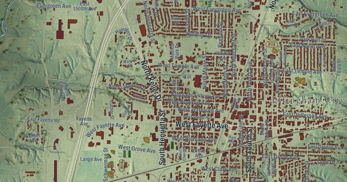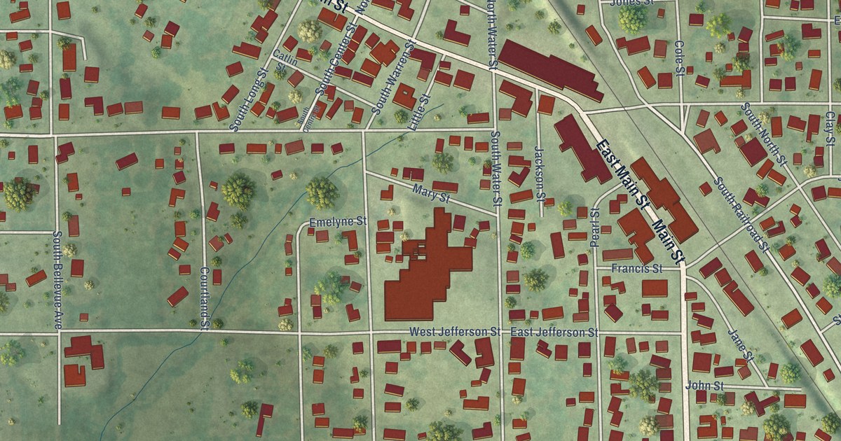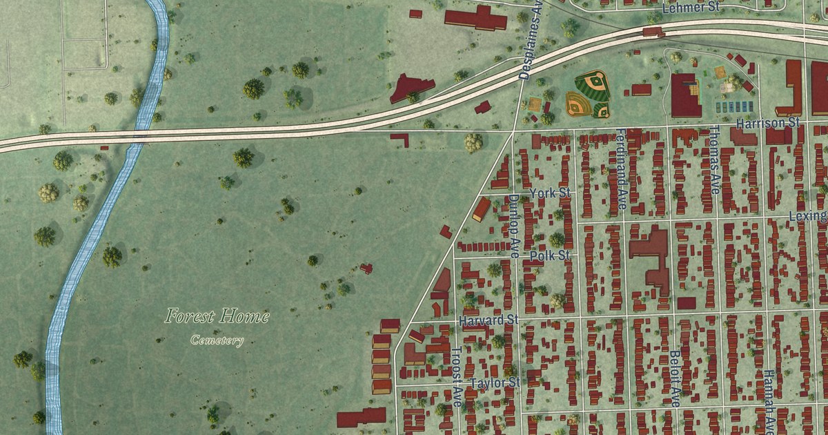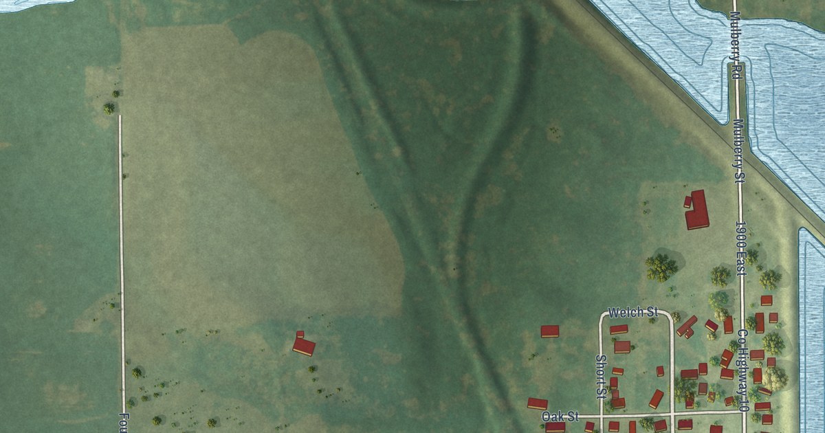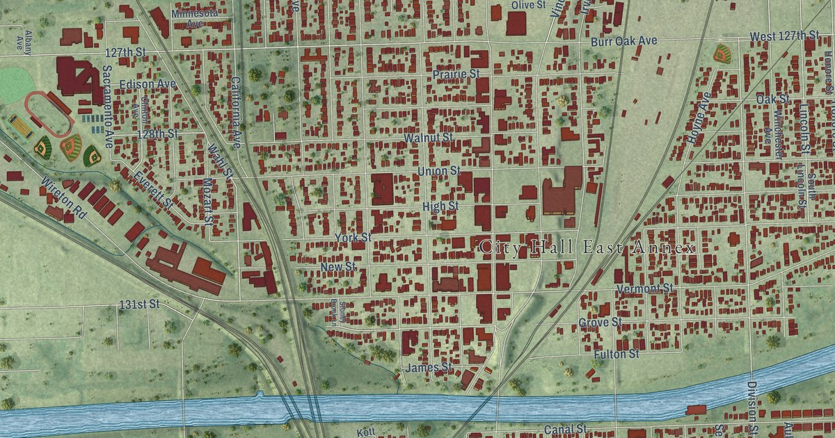
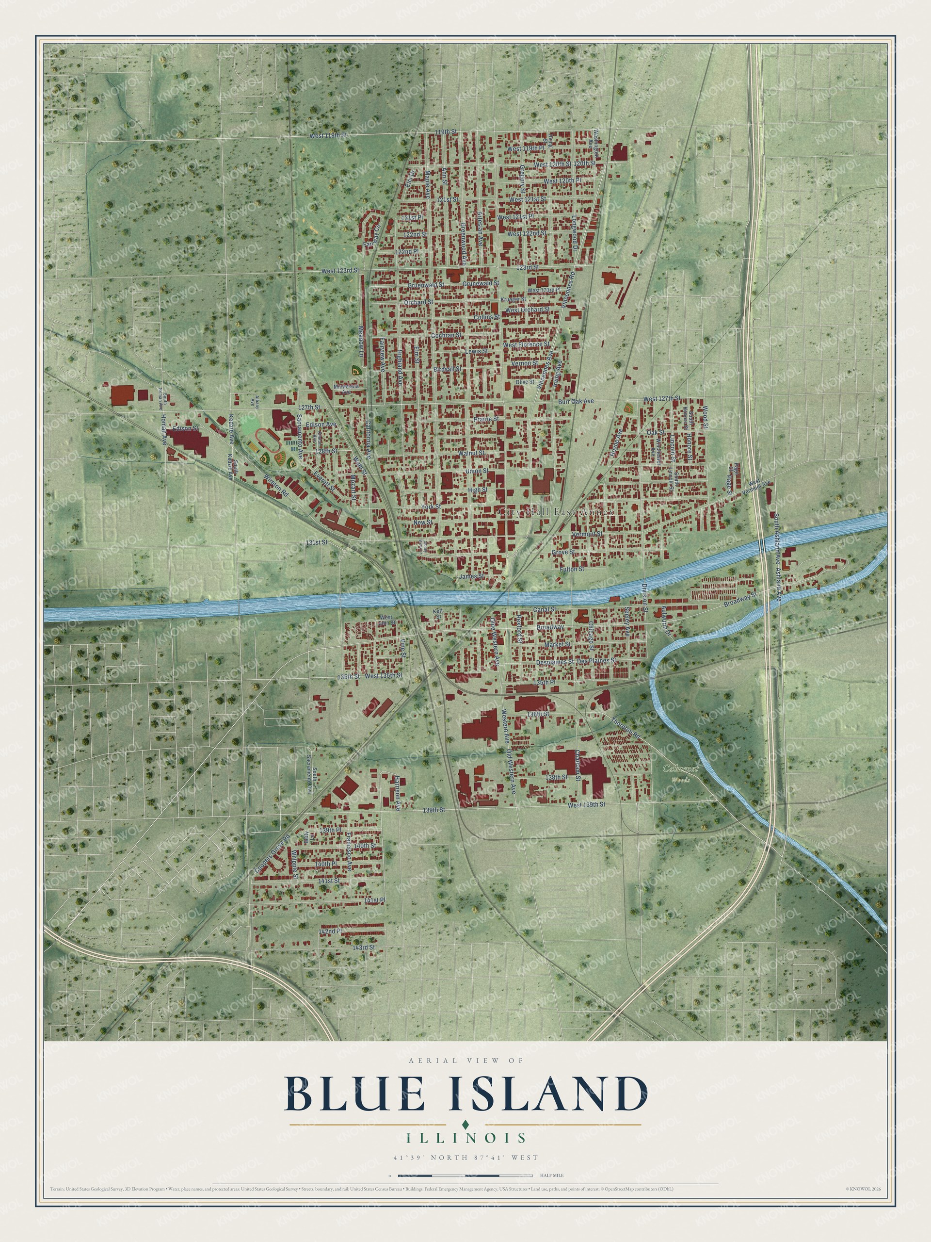
This beautifully detailed map of Blue Island, Illinois was created in 2026 using aerial imagery combined with modern topographical, census, street and landmark data. It's a modern aerial view of Blue Island in Cook County, Illinois, that combines modern data with a vintage aesthetic. The roads feature printed names, and if you look closely you can find your exact house accurately shown in its correct location.
Explore an aerial view of Blue Island, Illinois
On this map you'll find City Hall East Annex, Calumet Woods, Thornton Road, South Ashland Avenue, California Avenue, Vincennes Avenue, Vincennes Road, West Orchard Street, Edison Street, Division Street, West 119th Street, Grove Street, and more. Each red shape is a building, so zoom in on the preview and look for yours.
Blue Island is a city in Cook County. The Census Bureau counted 22,558 people here in 2020. The map prints the town name in its title panel, with the coordinates below it.
Take a closer look at the Blue Island map
Names on this map
These names are printed on this map.
Places: City Hall East Annex and Calumet Woods.
Streets and roads: Thornton Road, South Ashland Avenue, California Avenue, Vincennes Avenue, Vincennes Road, West Orchard Street, Edison Street, Division Street, West 119th Street, Grove Street, 141st Place, Western Avenue.
More street names, A to Z
119th Street, 120th Street, 121st Place, 121st Street, 122nd Place, 122nd Street, 123rd Street, 127th Street, 128th Street, 131st Street, 135th Place, 135th Street, 136th Street, 138th Street, 139th Place, 139th Street, 140th Place, 140th Street, 141st Street, 142nd Place, 143rd Street, Albany Avenue, Ann Street, Artesian Avenue, Ashland Avenue, Aulwurm Drive, Betty Lane, Birdsall Street, Broadway, Broadway Street, Burr Oak Avenue, Canal Street, Chatham Street, Chicago Street, Clinton Avenue, Cochran Street, Collins Street, Coopers Grove Road, Des Plaines Street, Desplaines Street, Edison Avenue, Elm Drive, Elm Street, Everett Street, Fairview Avenue, Fairway Circle, Francisco Avenue, Fulton Street, Greenwood Avenue, Gregory Street, Gruenwald Street, Grunewald Street, Harrison Avenue, Highland Avenue, High Street, Homan Avenue, Honore Street, Hoyne Avenue, Irving Avenue, Irving Street, James Street, Kedzie Avenue, Kott Street, Krueger Street, Lewis Street, Lincoln Street, Longwood Drive, Maple Avenue, Market Street, Meadow Lane, Minnesota Avenue, Mozart Street, New Street, Oak Street, Olde Western Avenue, Old Western Avenue, Olive Street, Orchard Street, Page Court, Page Street, Prairie Street, Rexford Street, Sacramento Avenue, Seeley Avenue, South Homan Avenue, South Honore Street, South Kedzie Avenue, South Lincoln Street, South Sacramento Avenue, Stoney Brook Lane, Union Street, Vermont Street, Vernon Street, Vine Street, Wahl Street, Walnut Street, Washington Avenue, West 119th Place, West 120th Place, West 120th Street, West 121st Place, West 121st Street, West 122nd Street, West 123rd Place, West 123rd Street, West 127th Street, West 135th Street, West 139th Street, West Florence Street, West John Street, West Vermont Avenue, Whipple Street, Winchester Avenue, Wireton Road, Wood Street, York Street.
Created by KNOWOL in 2026. The buildings are small red shapes, the roads carry their printed names, and shaded relief shows the shape of the land. The title panel reads "AERIAL VIEW OF BLUE ISLAND ILLINOIS" with 41°39' NORTH 87°41' WEST.
Hang it in the hallway, the office or the cabin, or give it to someone who left Blue Island and still calls it home. Open the preview and look for a street you know. See sizes and frames for the Blue Island map.