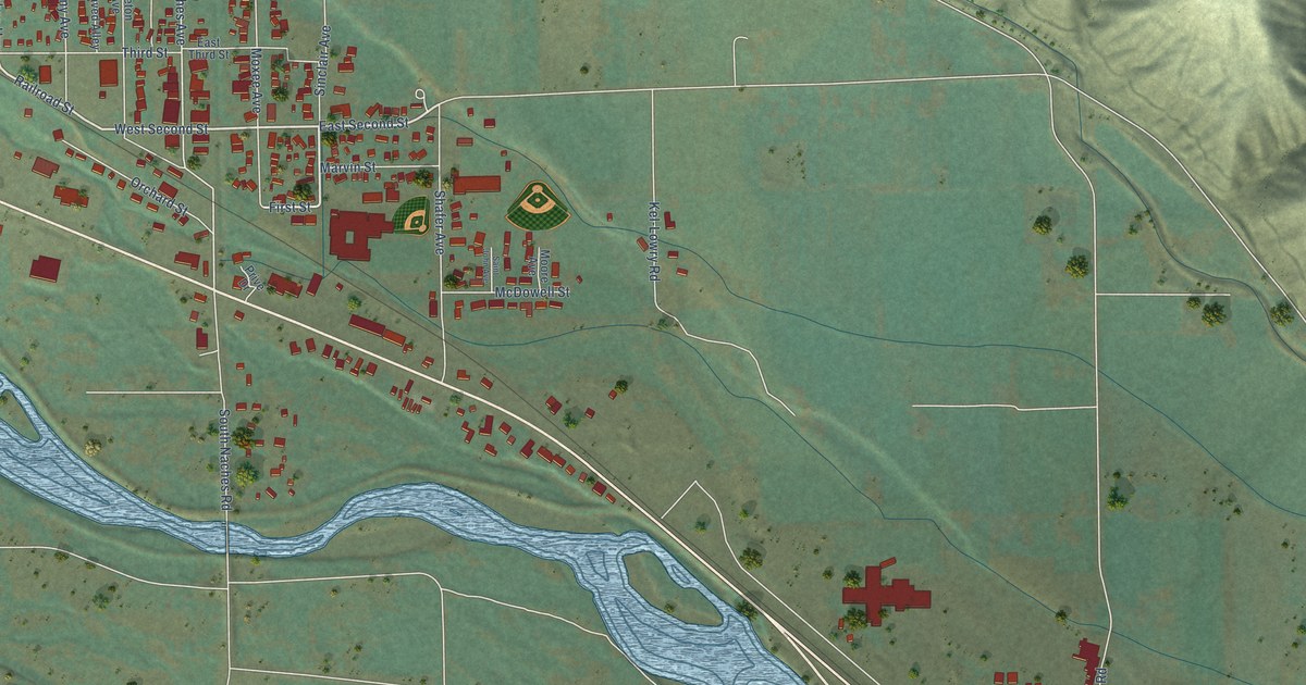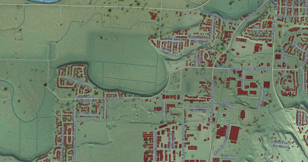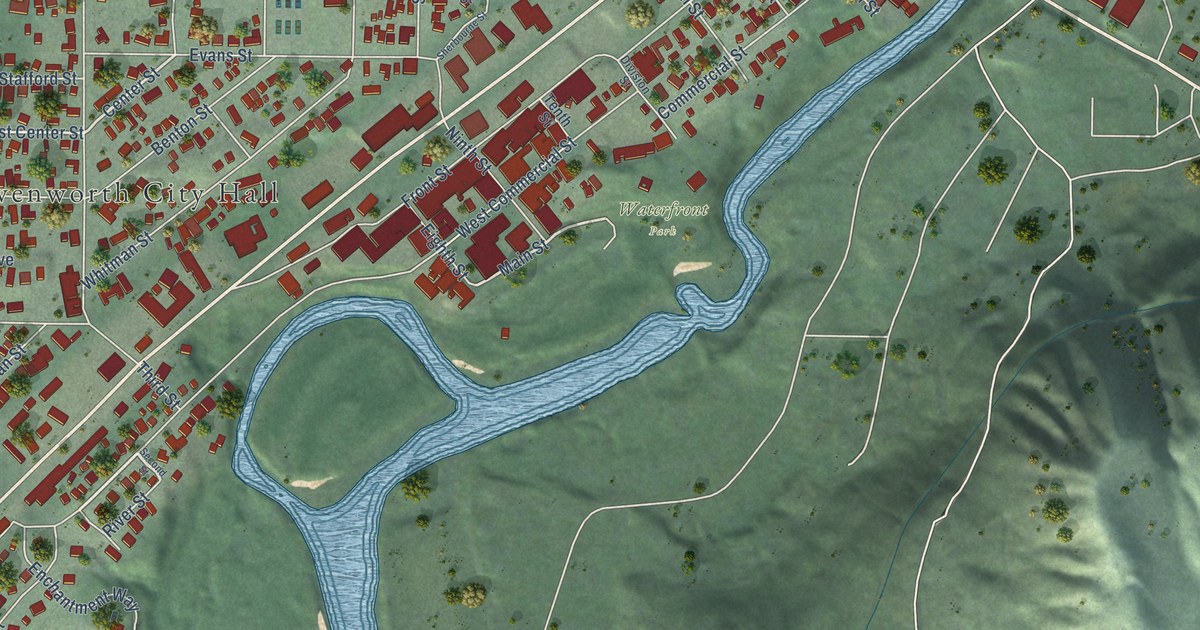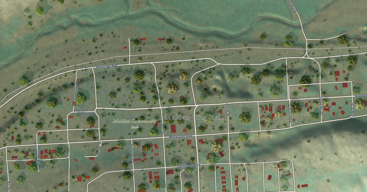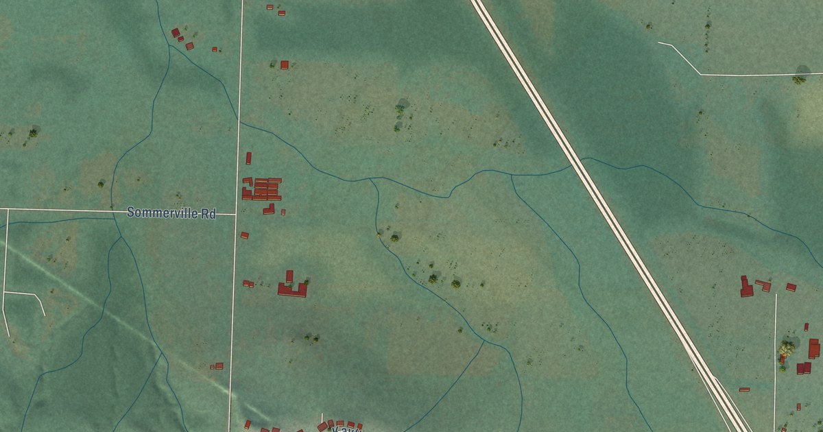
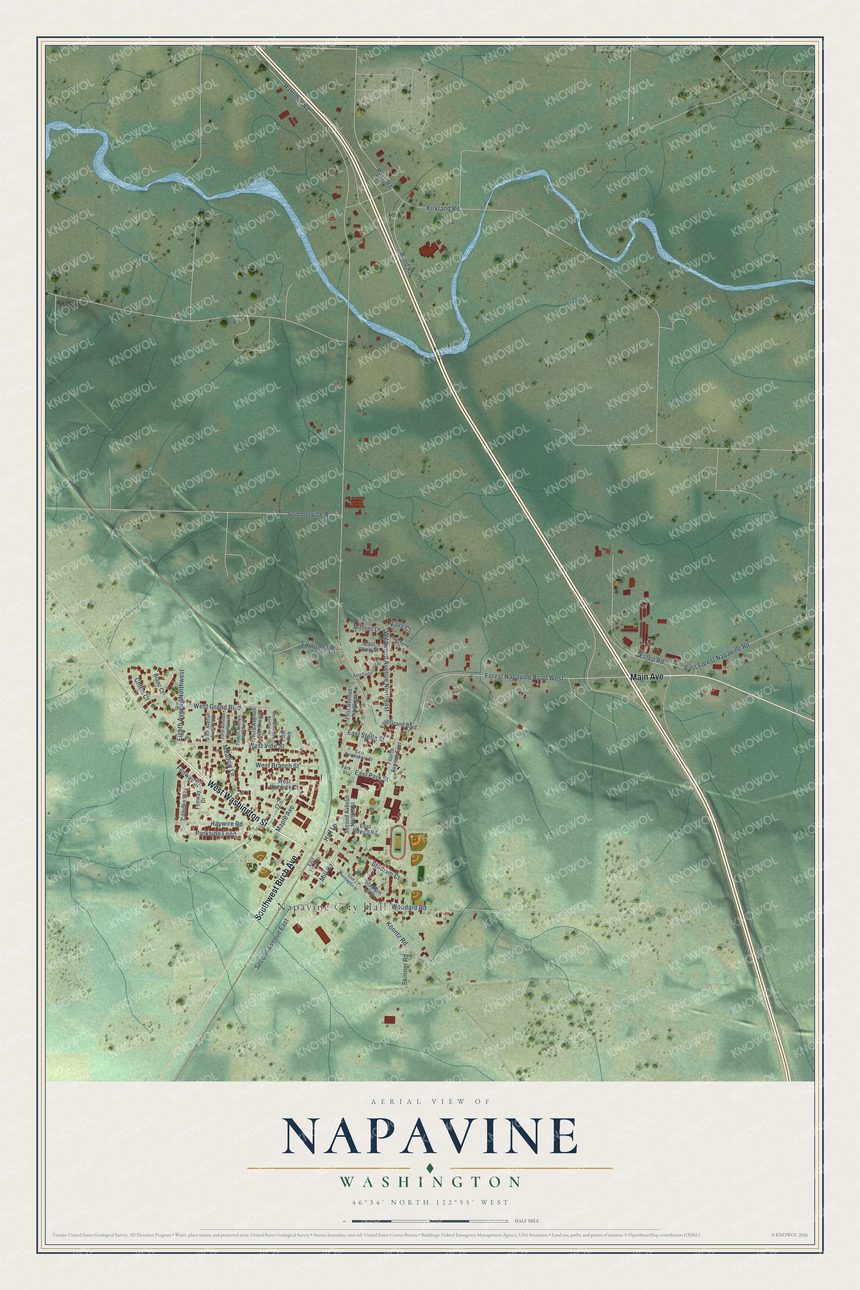
This beautifully detailed map of Napavine, Washington was created in 2026 using aerial imagery combined with modern topographical, census, street and landmark data. It's a modern aerial view of Napavine in Lewis County, Washington, that combines modern data with a vintage aesthetic. The roads feature printed names, and if you look closely you can find your exact house accurately shown in its correct location.
Explore an aerial view of Napavine, Washington
On this map you'll find Napavine City Hall, Napavine Community Park, West Washington Street, Main Avenue, Southwest Birch Avenue, Second Avenue East, Forest Napavine Road West, Hall Lane, Rush Road, Woodard Road, Koontz Road, Mill Road, and more. Each red shape is a building, so zoom in on the preview and look for yours.
Here is a piece of Napavine history, in the words of the record. The record at historylink.org puts it this way: "Jim Carroll, a council member for 41 years (1955-1996) whose grandparents arrived in Napavine the first year the railroad came through, noted that one of the city’s most significant decisions was to create a municipal water and sewer system in the 1950s."
Napavine is a city in Lewis County. The Census Bureau counted 1,888 people here in 2020.
Take a closer look at the Napavine map
Names on this map
These names are printed on this map.
Places: Napavine City Hall and Napavine Community Park.
Streets and roads: West Washington Street, Main Avenue, Southwest Birch Avenue, Second Avenue East, Forest Napavine Road West, Hall Lane, Rush Road, Woodard Road, Koontz Road, Mill Road, Estep Road, Hamilton Road.
More street names, A to Z
Blanc Court, Bond Road, Camden Way, Chieri Court, East Cedarcrest Street, East Forest Napavine Road, East Front Street, East Grand Boulevard, East Newaukum Street, East Park Street, East Rowell Road, East Stella Street, East View Street, East Washington Street, Edmonds Lane, Eighth Avenue Northwest, Fenway Drive, Fenway Street, Fifth Avenue Northwest, Fir Court, First Avenue, First Avenue Northeast, Fourth Avenue East, Fourth Avenue Northwest, Haywire Road, Kayli Court, Kirkland Road, Maple Avenue, Meadow Lane, Mitchell Lane, Parkside Loop, Park Street, Ridgeview Drive, Second Avenue Northeast, Second Avenue Northwest, Sixth Avenue Northwest, Skinner Road, Sommerville Road, Stadium Court, Stadium Loop, Third Avenue Northwest, West Branch Street, West Grand Boulevard, West Hemlock Court, West Vine Street, Wildwood Avenue Northeast.
Created by KNOWOL in 2026. The buildings are small red shapes, the roads carry their printed names, and shaded relief shows the shape of the land. The title panel reads "AERIAL VIEW OF NAPAVINE WASHINGTON" with 46°34' NORTH 122°55' WEST.
It suits a den, a classroom or a front hall, and it makes a gift for anyone with Napavine roots. Open the preview and find the block you know. See sizes and frames for the Napavine map.