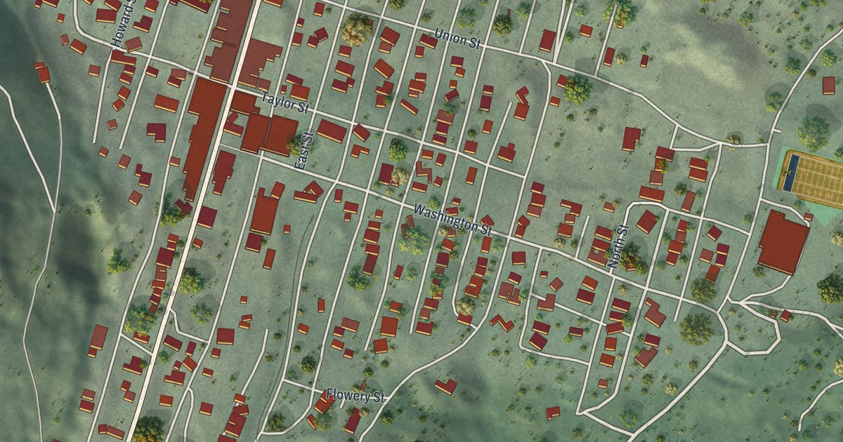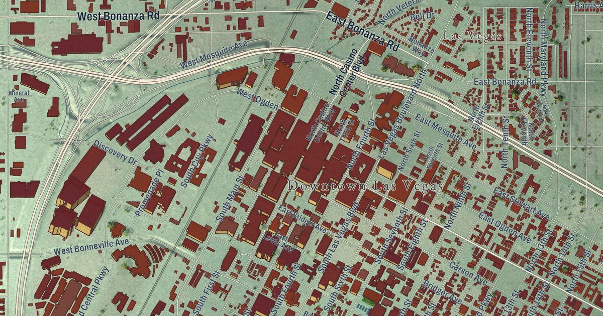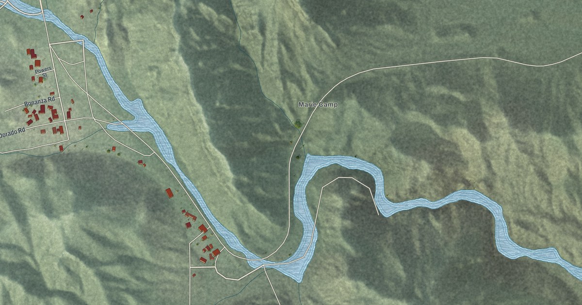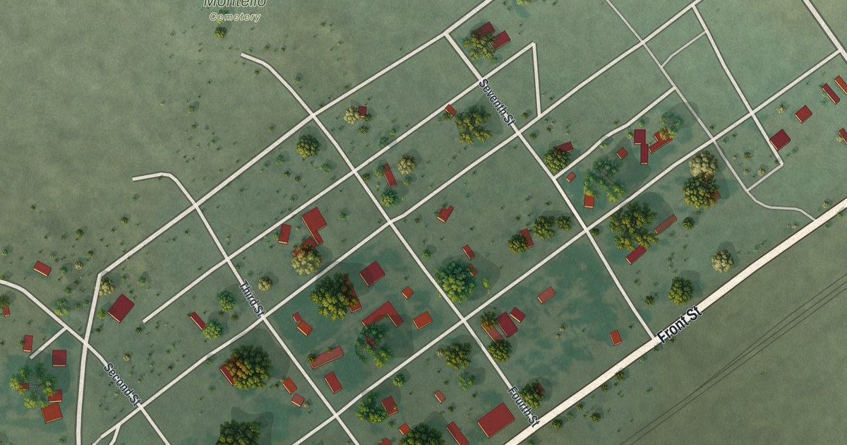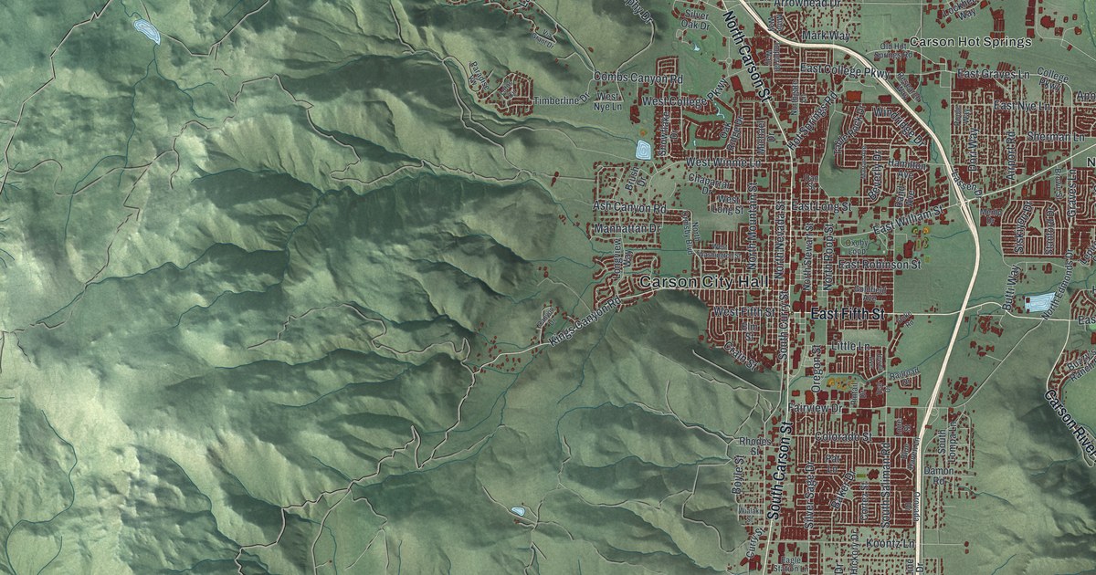
This beautifully detailed map of Carson City, Nevada was created in 2026 using aerial imagery combined with modern topographical, census, street and landmark data. It’s a one-of-a-kind view of Carson City that combines accurate data with a vintage aesthetic. The map shows every building in its true location, many of the roads carry their names, and the shaded topographic relief shows the shape of the land.
Explore an aerial view of Carson City, Nevada
On the map you’ll find Carson City Hall, Prison Hill Recreation Area, Silver Saddle Ranch, Carson Hot Springs, Empire, Lakeview, New Empire, Pinyon Hills, and Stewart, along with South Carson Street, North Carson Street, East Fifth Street, and more. If you look closely you can even find your house accurately drawn in its correct location. Zoom in on the preview to look for yours.
Did you know this piece of Carson City, Nevada history?
From Onlinenevada.org: "The Carson City Mint was one of only seven federal mints constructed in the United States."
Take a closer look at the Carson City map
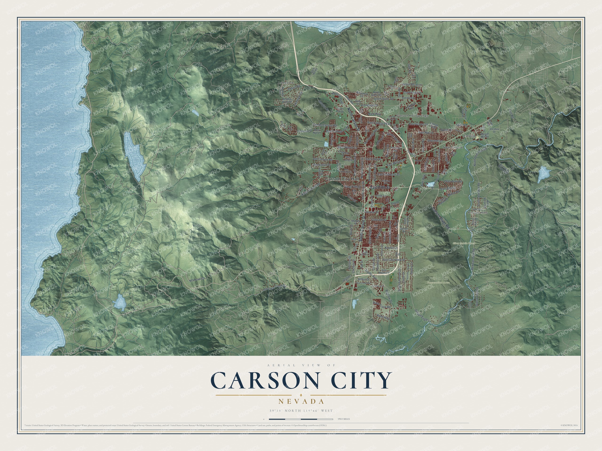
Street and place names on the Carson City, Nevada map
These names are printed on the map of Carson City, Nevada.
Places: Carson City Hall, Prison Hill Recreation Area, Silver Saddle Ranch, Carson Hot Springs, Empire, Lakeview, New Empire, Pinyon Hills and Stewart.
Streets and roads: South Carson Street, North Carson Street, East Fifth Street, Carson River Road, Kings Canyon Road, South Curry Street, Snyder Avenue, East Clearview Drive, Gentry Lane, East College Parkway, East William Street, East Graves Lane.
More street names, A to Z
Airport Road, Apollo Drive, Arrowhead Drive, Arroyo Vista Lane, Arthur Drive, Ash Canyon Road, Asphalt Drive, August Drive, Aurora Drive, Baker Drive, Beverly Drive, Bigelow Drive, Blue Haven Lane, Boeing Way, Bohr Road, Boyle Street, Brown Street, Brunswick Canyon Road, Brush Drive, Bryce Drive, Butti Way, Buzzy's Ranch Road, Canyon Drive, Carabou Drive, Centennial Park Drive, Center Drive, Chaparral Drive, Clear Creek Avenue, Cochise Street, College Parkway, Colorado Street, Combs Canyon Road, Conestoga Drive, Conte Drive, Cortez Street, Crain Street, Curry Street, Damon Road, Danielle Drive, Dan Street, Dori Way, Drako Way, Duck Hill Road, Duke Road, Eagle Station Lane, East Long Street, East Nye Lane, East Robinson Street, East Roland Street, Elm Street, Fairview Drive, Fair Way, Flint Road, Golden Eagle Lane, Goldfield Avenue, Goni Road, Graves Lane, Gregg Street, Hamilton Avenue, Heidi Circle, Hells Bells Road, Hickory Drive, Hobart Road, Hot Springs Road, Imperial Way, Imus Road, Jefferson Drive, Jewell Avenue, Junction Drive, Kelvin Road, Koontz Lane, Lakeview Road, Lassen Drive, Laurel Road, Lepire Drive, Line Drive, Little Lane, Lockheed Way, Loire Street, Longview Way, Lotus Circle, Manhattan Drive, Manzanita Terrace, Marian Avenue, Mark Way, Marsh Road, Meadow Wood Road, Medical Parkway, Menlo Drive, Mexican Dam Road, Michael Drive, Mills Road, Mina Way, Morgan Mill Road, Murphy Drive, Newton Road, NFS Road 039, North Deer Run Road, North Edmonds Drive, Northgate Lane, North Mountain Street, North Nevada Street, North Ormsby Boulevard, North Roop Street, North Stewart Street, North Sutro Terrace, Numaga Pass, Oak Ridge Drive, Oak Street, Old Clear Creek Road, Old Hot Springs Road, Oregon Street, Orovada Drive, Oxoby Loop, Paradise Vw, Pat Lane, Pinion Hills Drive, Pinion Hills Road, Pintail Drive, Ponderosa Drive, Poole Way, Rabe Way, Race Track Road, Railroad Drive, Rand Avenue, Research Way, Rhodes Street, Ruby Lane, Salk Road, Sherman Lane, Sierra Vista Lane, Silver Oak Drive, Silver Sage Drive, Siskiyou Drive, Snowflake Drive, South Deer Run Road, South Edmonds Drive, South Lompa Lane, South Saliman Road, South Sutro Terrace, Stanford Drive, Table Rock Drive, Teal Drive, Timberline Drive, Via Grant Drive, Voltaire Street, West College Parkway, West Fifth Street, West Long Street, West Nye Lane, West Washington Street, West Winnie Lane, Wialaki Street, Wild Horse Road, Windridge Drive.
See the Carson City, Nevada map on a wall
The Carson City map as an 18 x 24 inch print in a black frame.

This beautifully detailed map of Carson City makes an attractive addition to your office, library, or den, and it can even be used to teach children the geography and history of the area. It also makes a great gift for anyone with Carson City roots. When you’re done exploring, click here to get your copy of the Carson City map.