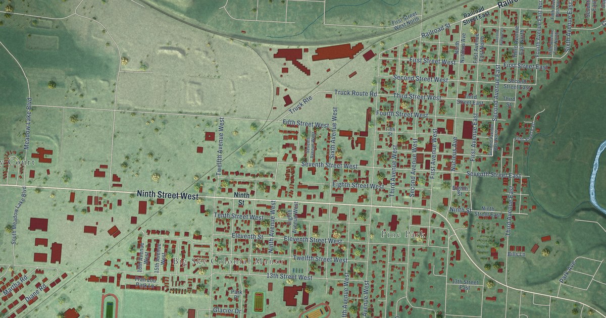
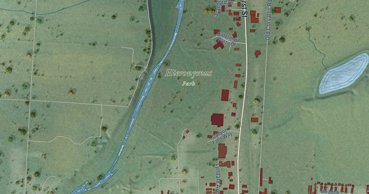
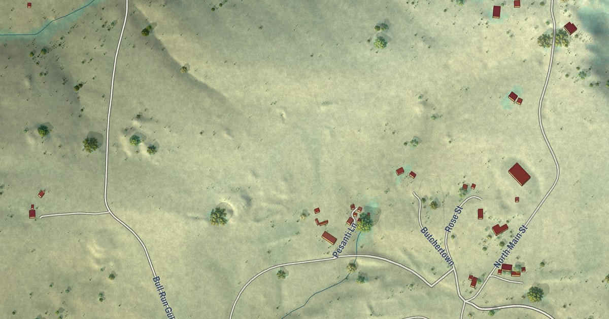
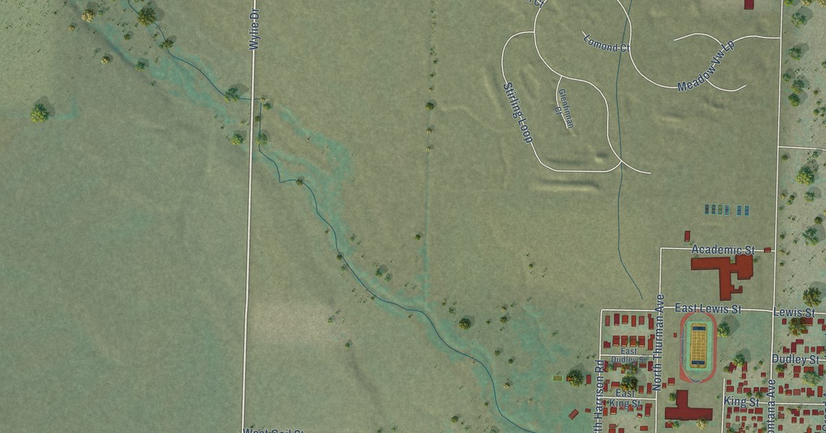
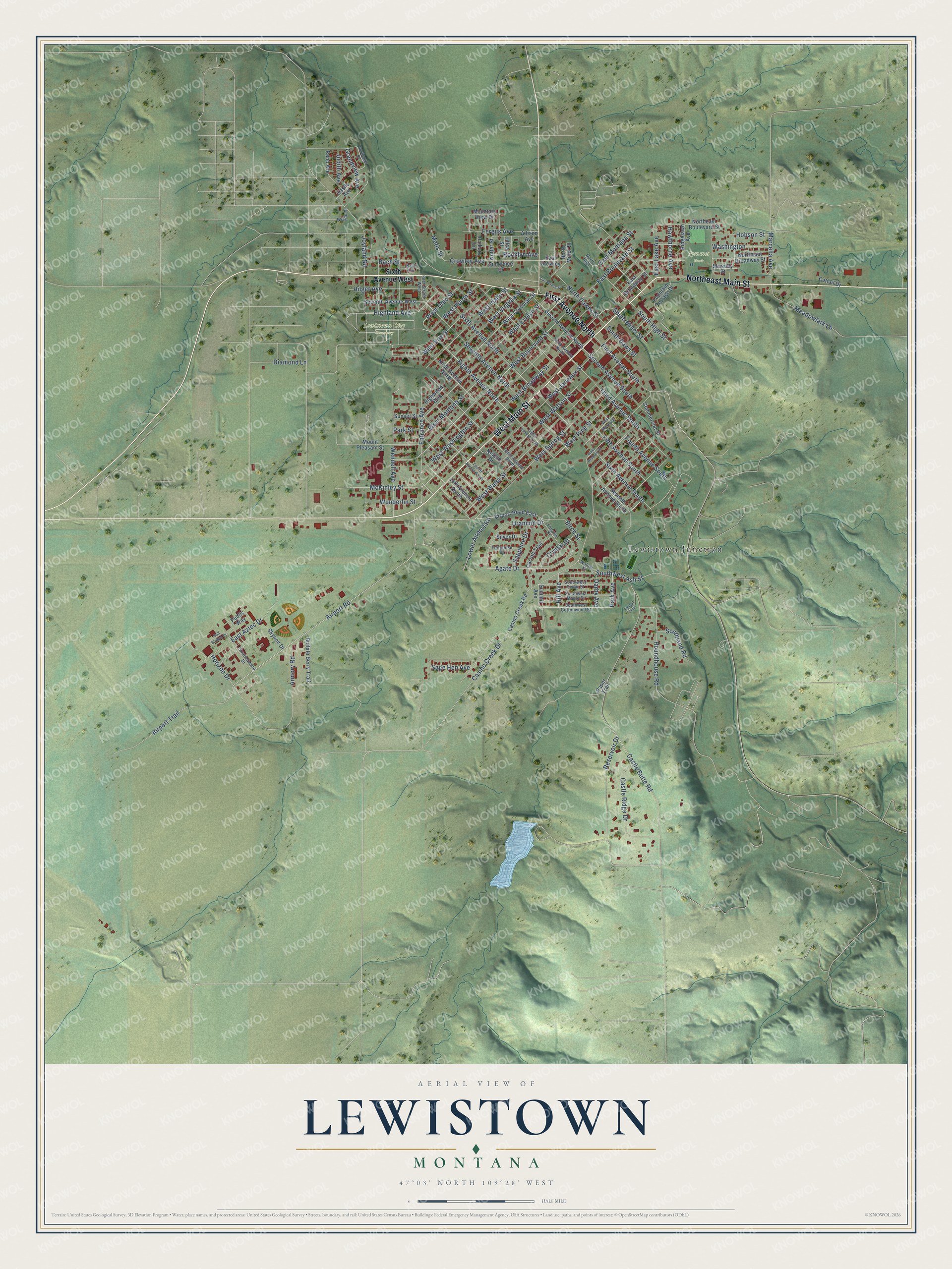
This beautifully detailed map of Lewistown, Montana was created in 2026 using aerial imagery combined with modern topographical, census, street and landmark data. It's a modern aerial view of Lewistown in Fergus County, Montana, that combines modern data with a vintage aesthetic. The roads feature printed names, and if you look closely you can find your exact house accurately shown in its correct location.
Explore an aerial view of Lewistown, Montana
On this map you'll find Lewistown City Cemetery, Symmes Park, Lewistown Junction, Northeast Main Street, First Avenue North, West Main Street, West Huron Street, Eighth Avenue North, Entrance Avenue, West Ohio Street, Southwest Ash Street, Hill Avenue, and more. Each red shape is a building, so zoom in on the preview and look for yours.
Here is a piece of Lewistown history, in the words of the record. The WPA Guide to Montana puts it this way: "Lewistown, first called Reed's Fort for Maj. A. S. Reed, who opened the first post office in 1881, began as a small trading post on the Carroll Trail between Helena and Crow Island at the mouth of the Musselshell."
Lewistown is a city in Fergus County.
Take a closer look at the Lewistown map
Names on this map
These names are printed on this map.
Places: Lewistown City Cemetery, Symmes Park and Lewistown Junction.
Streets and roads: Northeast Main Street, First Avenue North, West Main Street, West Huron Street, Eighth Avenue North, Entrance Avenue, West Ohio Street, Southwest Ash Street, Hill Avenue, Airport Road, Reservoir Drive, McKinley Street.
More street names, A to Z
14th Avenue South, Agate Drive, Airport Road East, Airport Trail, Allison Avenue, Armory Road, Bach Avenue, Bach Street, Birch Street, Bootlegger Road, Buffalo Berry Trail, Carroll Trail, Casino Creek Drive, Casino Creek Road, Castle Avenue, Castle Butte Road, Castle Ridge Drive, Cattail Drive, Commercial Street, Crowley Avenue, Crystal Drive, Cut Across Street, Darby Avenue, Diamond Lane, East Aztec Drive, East Boulevard Street, East Broadway Street, East Crowley, East Lake Avenue, East Montana Street, Eighth Avenue South, Fergus Avenue, Fifth Avenue South, First Avenue South, First Street West, Fluorite Drive, Fountain Terrace Drive, Fourth Avenue South, Grandview Avenue, Gulf Stream Drive, Hawthorne Avenue, Hickory Lane, Highland Avenue, Highwood Boulevard, Hilger Avenue, Hobson Street, Horizon Drive, Joyland Road, Judith Avenue, Lower Airport Road, Marcella Avenue, Meadowlark Lane, Metis Street, Mountain View Drive, Mount Pleasant Street, Nelson Drive, Ninth Avenue North, North Dawes Street, Northeast Boulevard Street, Northeast Broadway Street, North High, North Miller Street, Nutter Street, Paper Trail, Park Avenue, Park Street, Public Way, Reno Avenue, Ridgelawn Avenue, Rocklyn Avenue, Roundhouse Road, Sage Hen Avenue, Sapphire Drive, Second Avenue North, Second Avenue South, Sereday Street, Seventh Avenue North, Seventh Avenue South, Seventh Avenue West, Silver Drive, Sixth Avenue North, Sixth Avenue South, Sixth Avenue West, Skyline Drive, South Daws Street, South High Street, Southland Road, South Miller Street, Southwest Cedar Street, Southwest Cottonwood Street, Southwest Maple Street, Stratosphere Drive, Summit Avenue, Sundance Drive, Sunset Street, Tenth Avenue South, Third Avenue North, Third Avenue South, Tindall Trail, Turquoise Drive, Twelfth Avenue South, Uranium Drive, Utica Street, Walnut Street, Washington, Wendell Avenue, West Boulevard Street, West Brassey Street, West Broadway Street, West Corcoran Street, West Erie Street, West Evelyn Street, West Idaho Street, West Janeaux Street, West Montana Street, West Morase Street, West Pine Street, West Spring Street, West Virginia Street, West Washington Street, West Water Street, West Watson Street, Wright Street, Wunderlin Street.
Created by KNOWOL in 2026. The buildings are small red shapes, the roads carry their printed names, and shaded relief shows the shape of the land. The title panel reads "AERIAL VIEW OF LEWISTOWN MONTANA" with 47°03' NORTH 109°28' WEST.
It suits a den, a classroom or a front hall, and it makes a gift for anyone with Lewistown roots. Open the preview and find the block you know. See sizes and frames for the Lewistown map.