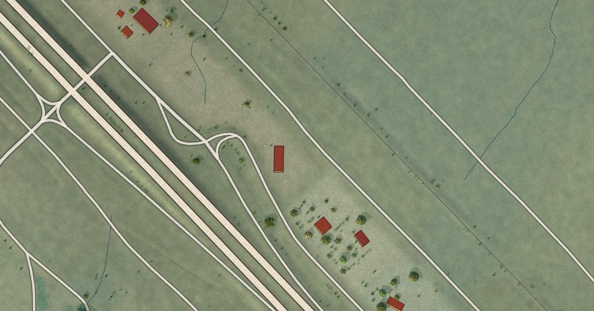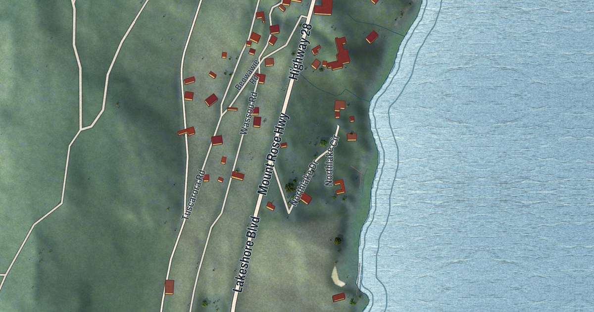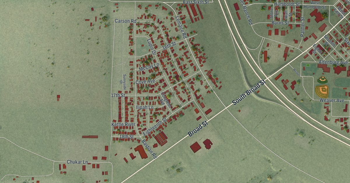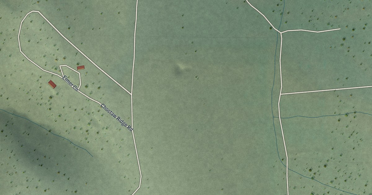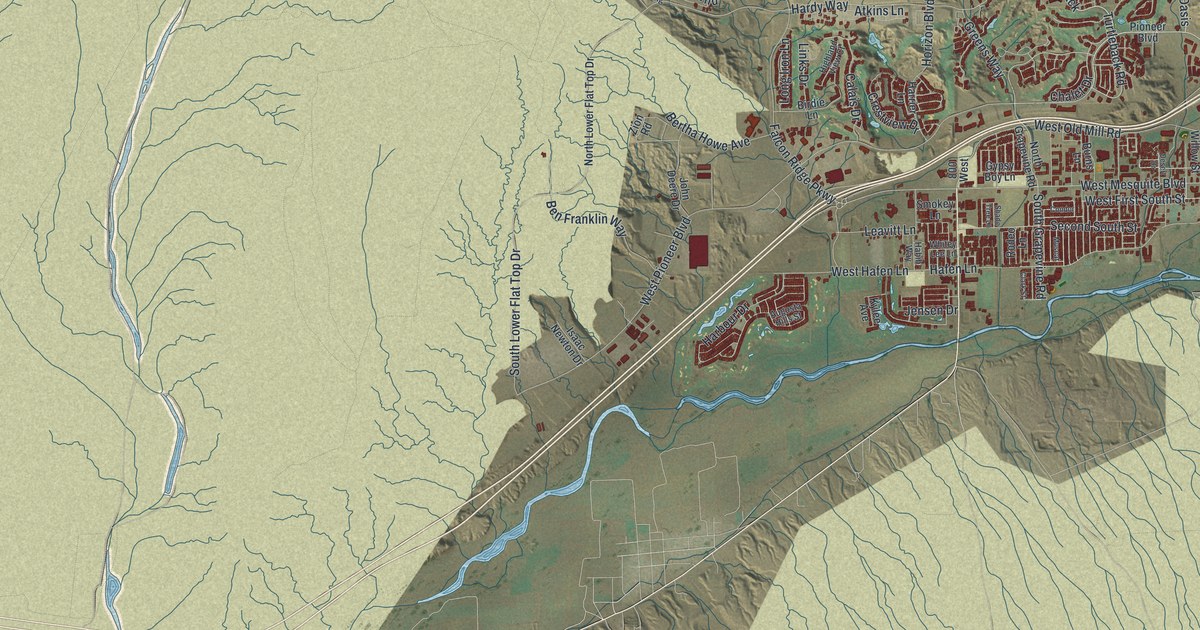
This beautifully detailed map of Mesquite, Nevada was created in 2026 using aerial imagery combined with modern topographical, census, street and landmark data. It’s a one-of-a-kind view of Mesquite that combines accurate data with a vintage aesthetic. The map shows every building in its true location, many of the roads carry their names, and the shaded topographic relief shows the shape of the land.
Explore an aerial view of Mesquite, Nevada
On the map you’ll find Mesquite City Hall, Riverside, and Turtleback, along with Riverside Road, Turtleback Road, West Pioneer Boulevard, Oasis Boulevard, South Grapevine Road, East Old Mill Road, Hardy Way, West Mesquite Boulevard, Marilyn Parkway, and more. If you look closely you can even find your house accurately drawn in its correct location. Zoom in on the preview to look for yours.
Did you know this piece of Mesquite, Nevada history?
From Shpo.nv.gov: "The Virgin River provided water for settlers in Bunkerville (1877) and Mesquite (1880)."
Take a closer look at the Mesquite map
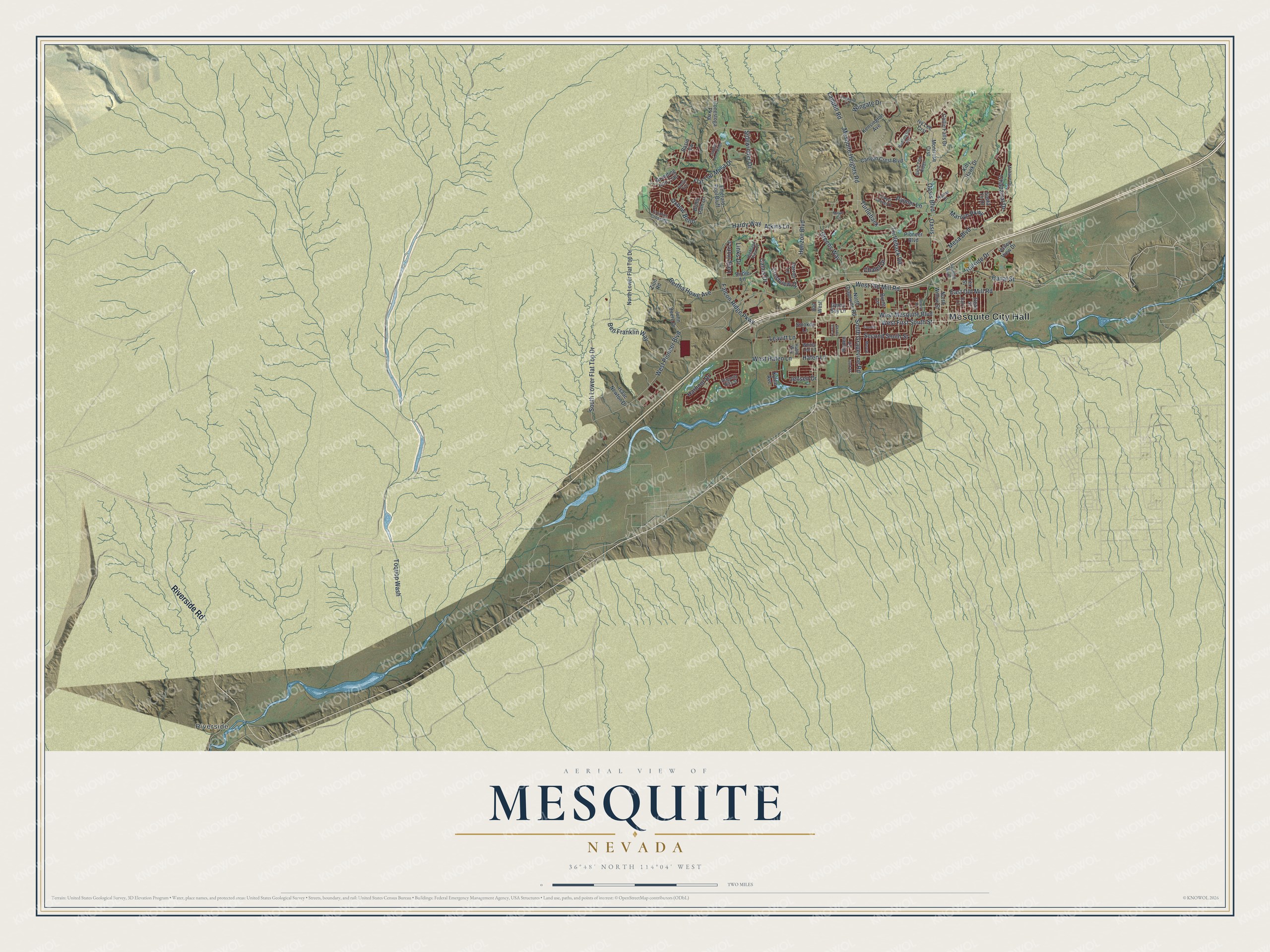
Street and place names on the Mesquite, Nevada map
These names are printed on the map of Mesquite, Nevada.
Places: Mesquite City Hall and Riverside.
Streets and roads: Riverside Road, Turtleback Road, West Pioneer Boulevard, Oasis Boulevard, South Grapevine Road, East Old Mill Road, Hardy Way, West Mesquite Boulevard, Turtleback, Marilyn Parkway, Mesquite Heights Road, Second South Street.
More street names, A to Z
800 West, Atkins Lane, Augusta Hills Street, Basin Vw, Ben Franklin Way, Bertha Howe Avenue, Birdie Lane, Blind Pew Ridge, Branding Iron Trail, Bridle Path Lane, Burns Lane, Calais Drive, Canal Street, Canyon Crest Boulevard, Chalet Drive, Chaparral Drive, Clark Street, Collin Falls Drive, Condor, Conestoga Parkway, Copper Springs Drive, Crestview Drive, Dairy Lane, Desert Drive, Dogwood Lane, Emerald Pool Bluff, Falcon Ridge Parkway, Flat Top Mesa Drive, Frontier Crossing, Gean Street, Greens Way, Grotto Trail, Gypsy Boy Lane, Habib Way, Hafen Lane, Hanna Court, Harbour Drive, Harrier Lane, Highland View Court, Hillside Drive, Horizon Boulevard, Huntington Heights, Isaac Newton Drive, Ivy Lee Crst, Jensen Drive, John Deere Drive, Kensington Avenue, Kitty Hawk Drive, Kylee Avenue, Landfill Road, Leavitt Lane, Links Drive, Long Iron Lane, Mayan Circle, Mesa Boulevard, Mohave Drive, Montrose Crst, Muscat, North Grapevine Road, North Lower Flat Top Drive, North Willow Street, Oasis, Oxbow Bend, Palmer Lane, Pioneer Boulevard, Rodeo Lane, Saddle Horn Ridge, Sandhill Boulevard, Santa Fe Drive, Shade Tree Lane, Sidewinder Drive, Smokey Lane, South Lower Flat Top Drive, Tex Street, Toquop Wash, Valley View Drive, West First South Street, West Hafen Lane, West Old Mill Road, Whitey Lee Lane, Wingate Drive, Zion Road.
See the Mesquite, Nevada map on a wall
The Mesquite map as an 18 x 24 inch print in a black frame.

This beautifully detailed map of Mesquite makes an attractive addition to your office, library, or den, and it can even be used to teach children the geography and history of the area. It also makes a great gift for someone who left Mesquite and still calls it home. When you’re done exploring, click here to get your copy of the Mesquite map.