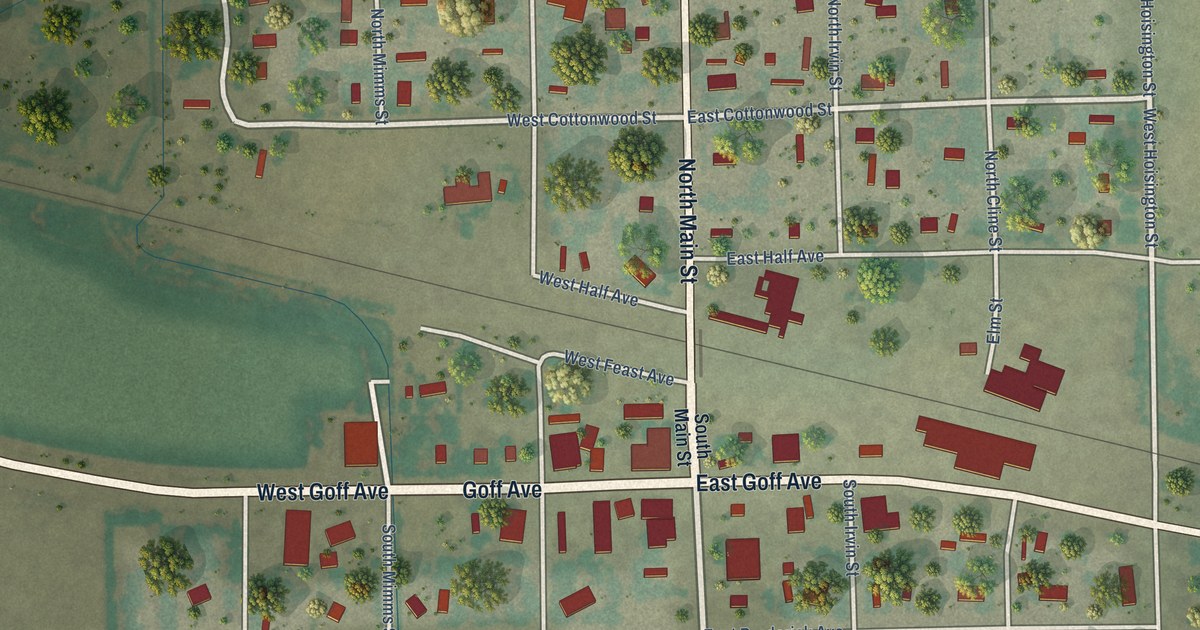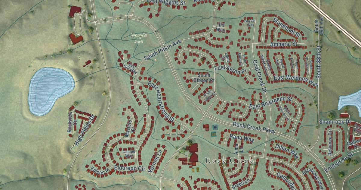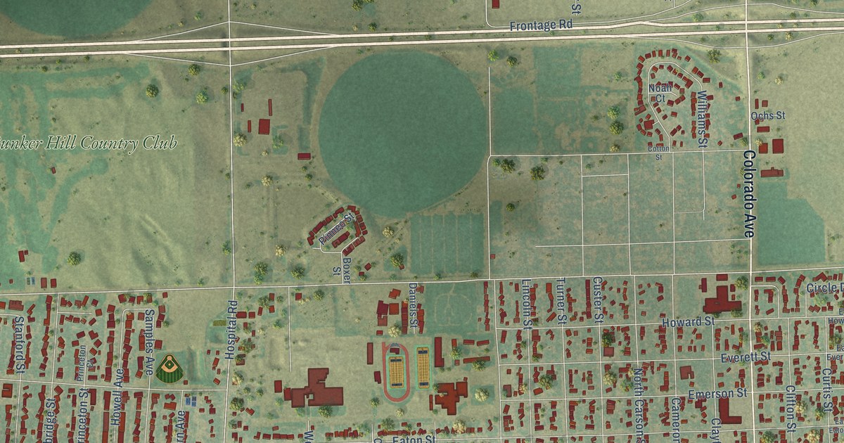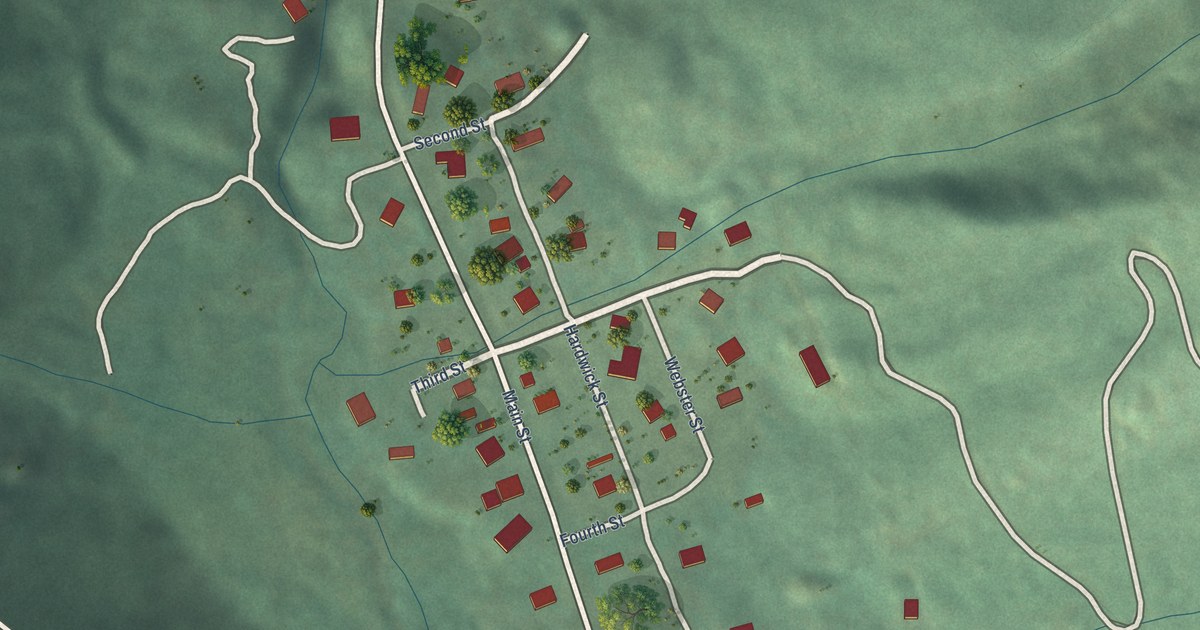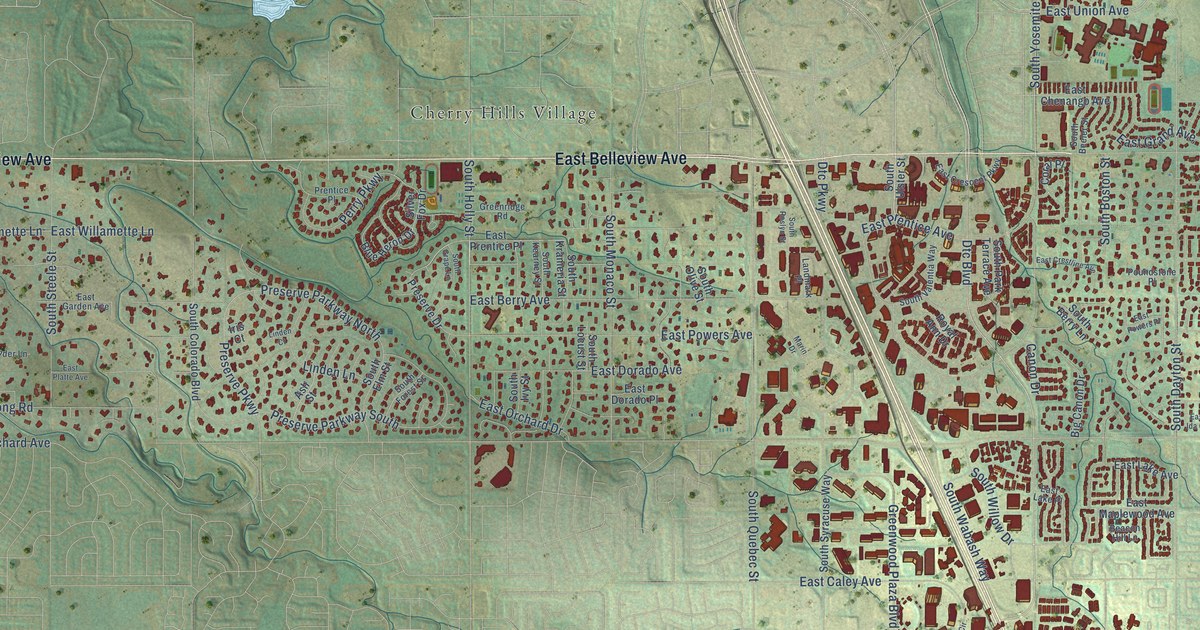
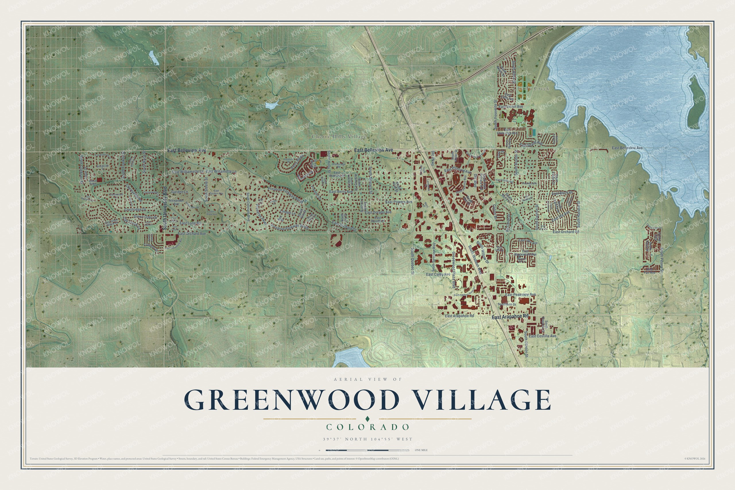
This beautifully detailed map of Greenwood Village, Colorado was created in 2026 using aerial imagery combined with modern topographical, census, street and landmark data. It's a modern aerial view of Greenwood Village in Arapahoe County, Colorado, that combines modern data with a vintage aesthetic. The roads feature printed names, and if you look closely you can find your exact house accurately shown in its correct location.
Explore an aerial view of Greenwood Village, Colorado
On this map you'll find Cherry Creek, Cherry Hills Village, East Belleview Avenue, South University Boulevard, East Arapahoe Road, South Yosemite Street, Dtc Boulevard, East Union Avenue, East Orchard Drive, East Peakview Avenue, South Dayton Street, South Willow Drive, and more. Each red shape is a building, so zoom in on the preview and look for yours.
Greenwood Village has a story worth telling. The National Register of Historic Places puts it this way: "The school is the only building designated a historic landmark by
Greenwood Village,
The first Curtis School was founded in 1901 and when the educational demands of the
community expanded, the original frame building was replaced by the current brick
building in 1914."
Greenwood Village is a city in Arapahoe County. The Census Bureau counted 15,691 people here in 2020.
Take a closer look at the Greenwood Village map
Names on this map
These names are printed on this map.
Places: Cherry Creek and Cherry Hills Village.
Streets and roads: East Belleview Avenue, South University Boulevard, East Arapahoe Road, South Yosemite Street, Dtc Boulevard, East Union Avenue, East Orchard Drive, East Peakview Avenue, South Dayton Street, South Willow Drive, South Boston Street, East Orchard Road.
More street names, A to Z
Alexander Avenue, Alexander Lane, Ash Street, Beacon Hill Lane, Big Canon Drive, Blue Heron Drive, Brookside Drive, Canon Drive, Cherry Creek Drive, Cherryville Road, Coral Place, Cottonwood Lane, Crabtree Drive, Crestridge Drive, Dtc Parkway, East Belleview Drive, East Berry Avenue, East Berry Drive, East Caley Avenue, East Chenango Avenue, East Costilla Avenue, East Crescent Parkway, East Crestline Avenue, East Dorado Avenue, East Dorado Place, East Fair Avenue, East Garden Avenue, East Grand Avenue, East Green Willow Lane, East Ida Avenue, East Ida Circle, East Lake Avenue, East Lake Circle, East Lake Place, East Long Drive, East Long Lane, East Long Road, East Maplewood Avenue, East Orchard Avenue, East Platte Avenue, East Powers Avenue, East Powers Place, East Prentice Avenue, East Prentice Place, East Tufts Avenue, East Westglow Lane, East Willamette Lane, East Williamette Lane, Franklin Lane, Garden Lane, Green Oaks Drive, Green Oaks Lane, Greenridge Road, Greenwood Lane, Greenwood Plaza Boulevard, Iris Court, Landmark Place, Linden Court, Linden Lane, Logan Drive, Marin Drive, Oak Creek Lane, Perry Parkway, Poundstone Place, Prentice Place, Preserve Drive, Preserve Parkway, Preserve Parkway North, Preserve Parkway South, Royal Ann Drive, Silver Fox Drive, South Akron Street, South Alton Street, South Beeler Street, South Berry Lane, South Clarkson Street, South Clinton Street, South Colorado Boulevard, South Columbine Way, South Elm Street, South Emporia Street, South Fiddlers Green Circle, South Florence Street, South Forest Street, South Franklin Street, South Fulton Court, South Fulton Street, South Galena Street, South Grape Lane, South Havana Street, South Hillside Street, South Holly Street, South Ivy Street, South Kearney Street, South Krameria Street, South Locust Street, South Monaco Street, South Olive Street, South Paris Street, South Park Terrace Avenue, South Peoria Street, South Quebec Street, South Race Street, South Roslyn Street, South Steele Street, South Syracuse Way, Southtech Drive, South Ulster Street, South Valentia Way, South Vine Street, South Wabash Way, South Williams Drive, Sunset Ridge.
Created by KNOWOL in 2026. The buildings are small red shapes, the roads carry their printed names, and shaded relief shows the shape of the land. The title panel reads "AERIAL VIEW OF GREENWOOD VILLAGE COLORADO" with 39°37' NORTH 104°55' WEST.
It looks right in a kitchen, an office or a den, and it's a gift for anyone who grew up in Greenwood Village or moved away. Open the preview and find your street. See sizes and frames for the Greenwood Village map.