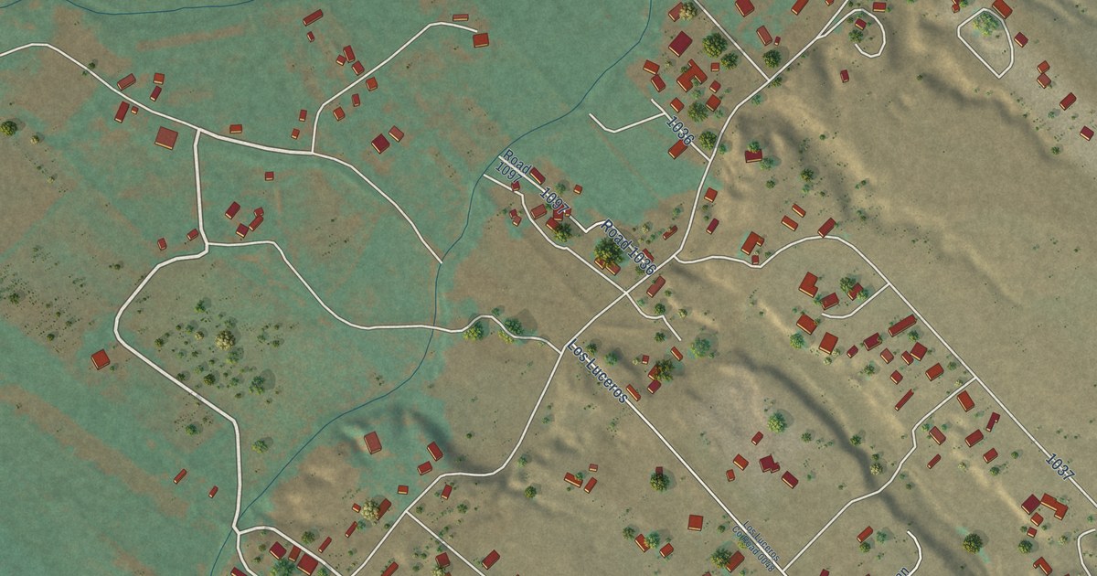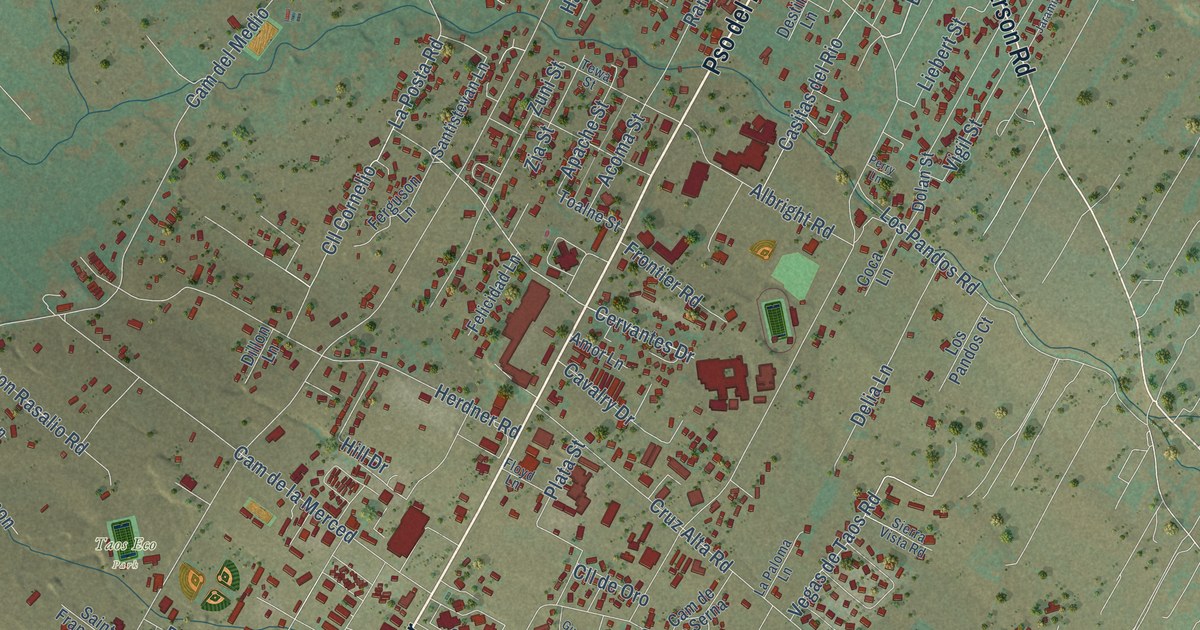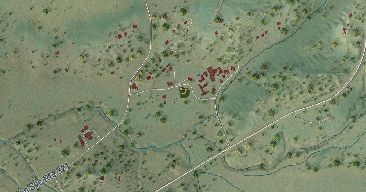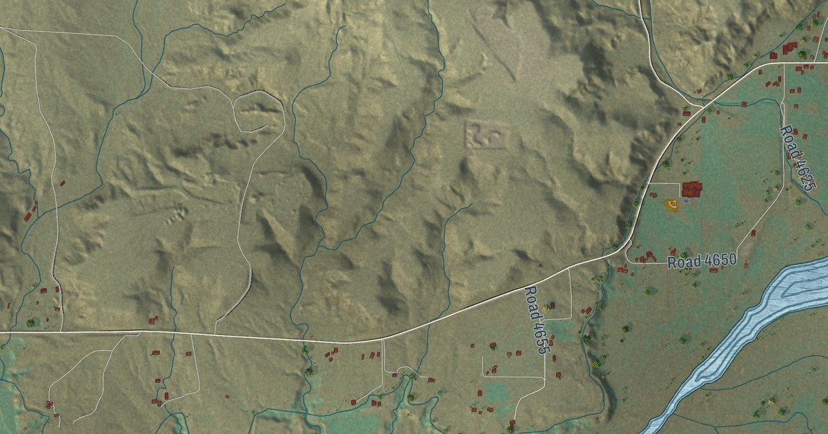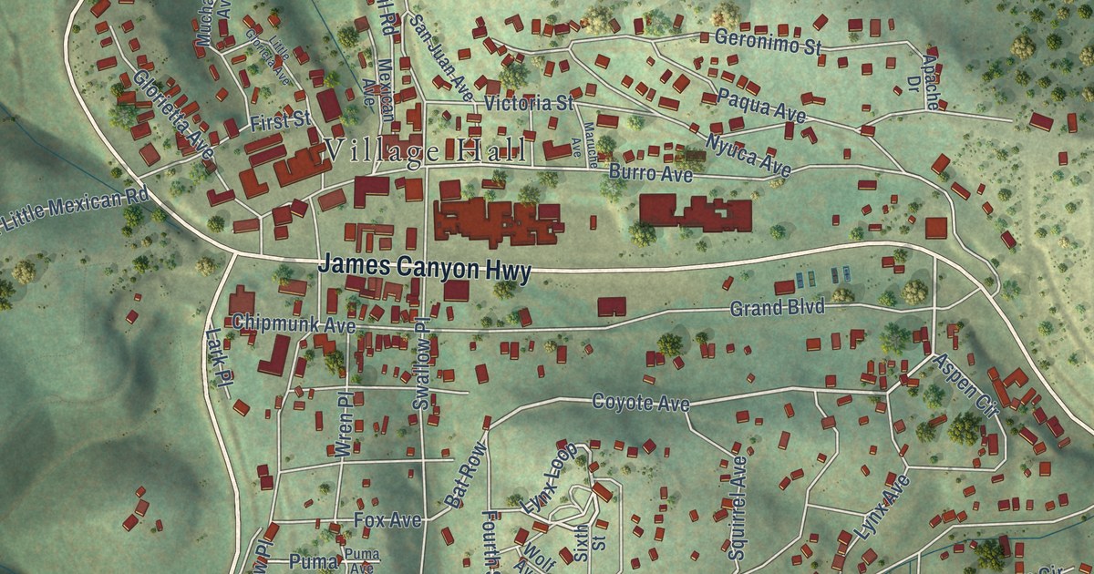
This beautifully detailed map of Cloudcroft, New Mexico was created in 2026 using aerial imagery combined with modern topographical, census, street and landmark data. It’s a one-of-a-kind view of Cloudcroft that combines accurate data with a vintage aesthetic. The map shows every building in its true location, many of the roads carry their names, and the shaded topographic relief shows the shape of the land.
Explore an aerial view of Cloudcroft, New Mexico
On the map you’ll find Village Hall, Bat Row, and Curlew Place, along with James Canyon Highway, Cox Canyon Highway, Columbine Boulevard, Coyote Avenue, Lynx Loop, Panther Avenue, Lynx Avenue, Woodlands Way, Shell’s Lane, and more. If you look closely you can even find your house accurately drawn in its correct location. Zoom in on the preview to look for yours.
Did you know this piece of Cloudcroft, New Mexico history?
From the Historical Marker Database: "In order to provide timber for the construction of his El Paso & Northeastern Railroad north of Alamagordo, Charles B. Eddy in 1898 built a spur into the Sacramento Mountains. The line operated as far as Cloudcroft until 1947."
Take a closer look at the Cloudcroft map
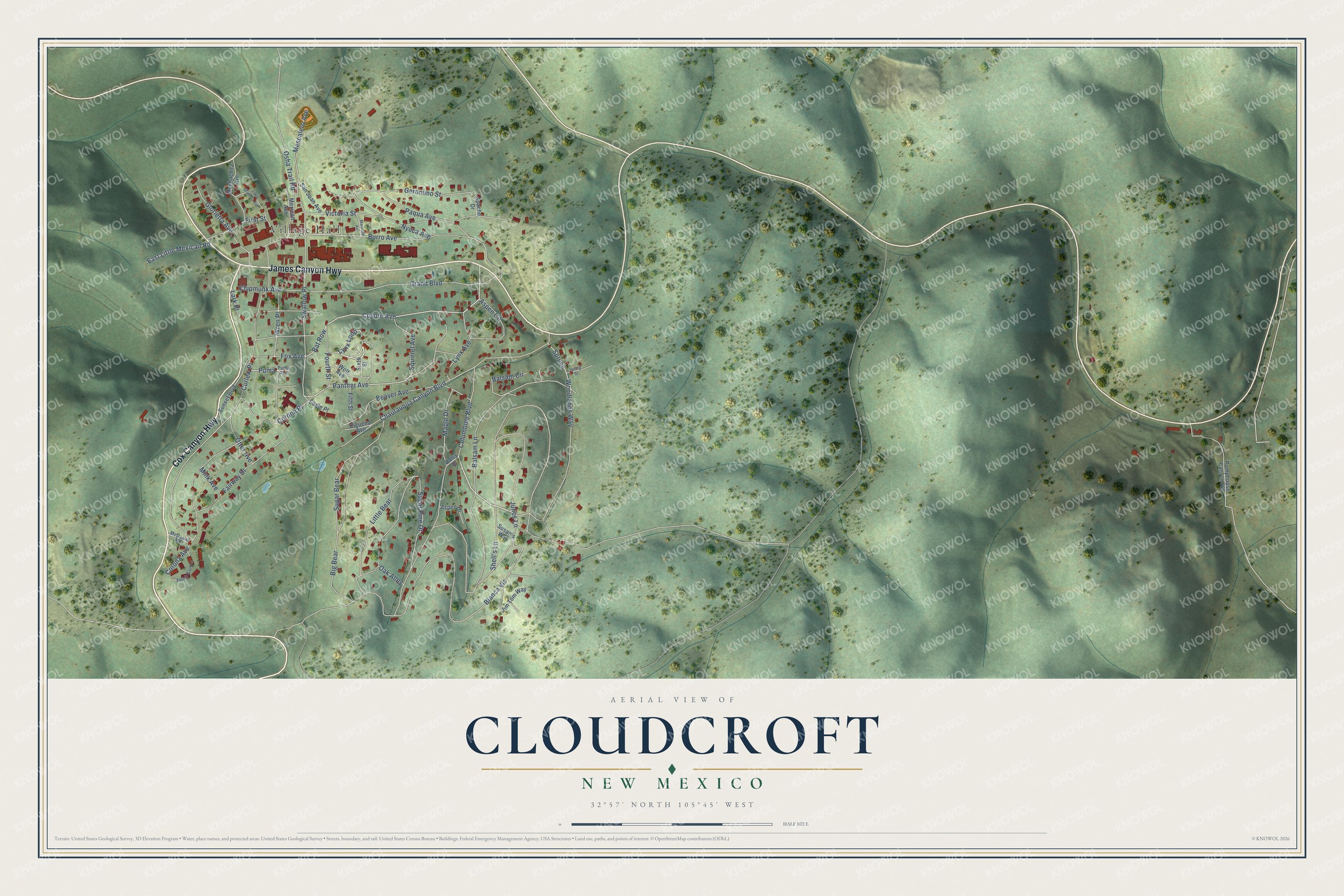
Street and place names on the Cloudcroft, New Mexico map
These names are printed on the map of Cloudcroft, New Mexico.
Places: Village Hall.
Streets and roads: James Canyon Highway, Cox Canyon Highway, Columbine Boulevard, Coyote Avenue, Lynx Loop, Panther Avenue, Lynx Avenue, Bat Row, Woodlands Way, Curlew Place, Shell's Lane, Blanca Vis.
More street names, A to Z
Apache Drive, Aspen Circle, Aspen Drive, Balsam Circle, Balsam Lane, Beaver Avenue, Big Bear, Burro Avenue, Chautauqua Canyon Boulevard, Chipmunk Avenue, Ciguena Avenue, Corona Avenue, Corona Place, Daisy Drive, Eagle Place, East Little Mexican Road, Fairway Drive, Fifth Street, First Street, Fourth Street, Fox Avenue, Geronimo Street, Glorietta Avenue, Grand Boulevard, Jim Tom Way, Julies Lane, Lark Place, Little Bear, Little Glorieta Avenue, Maple Drive, Maruche Avenue, McDaniel Road, Mescalero Avenue, Mexican Avenue, Mink Avenue, Muchachita Avenue, Nyuca Avenue, Oak Alley, Osha Trail Road, Otter Avenue, Paqua Avenue, Puma, Puma Avenue, Pumphouse Canyon Road, San Juan Avenue, Sixth Street, Spring Street, Spruce, Squirrel Avenue, Sugar Bear, Sugar Pine Drive, Sunset Boulevard, Susan's Way, Swallow Place, Switch Back Lane, Victoria Street, Wolf Avenue, Wren Place.
See the Cloudcroft, New Mexico map on a wall
The Cloudcroft map as an 18 x 24 inch print in a black frame.

This beautifully detailed map of Cloudcroft makes an attractive addition to your office, library, or den, and it can even be used to teach children the geography and history of the area. It also makes a great gift for anyone with Cloudcroft roots. When you’re done exploring, click here to get your copy of the Cloudcroft map.