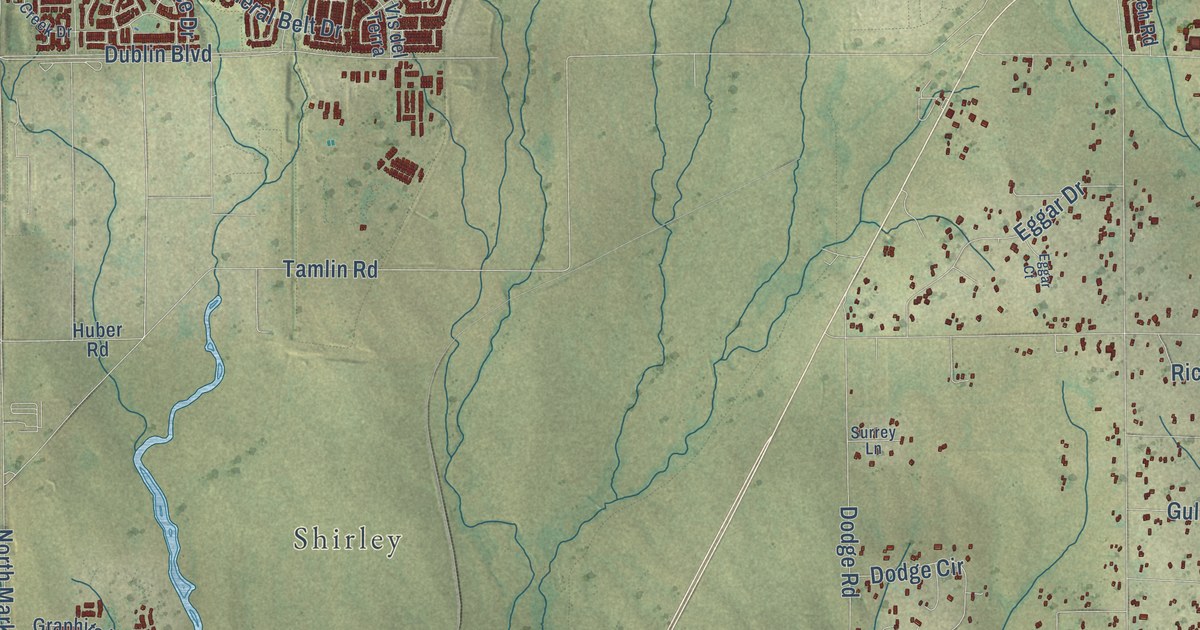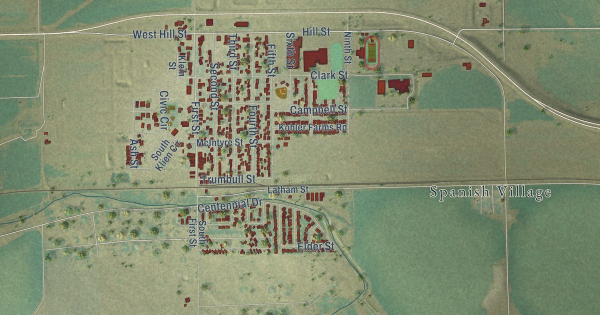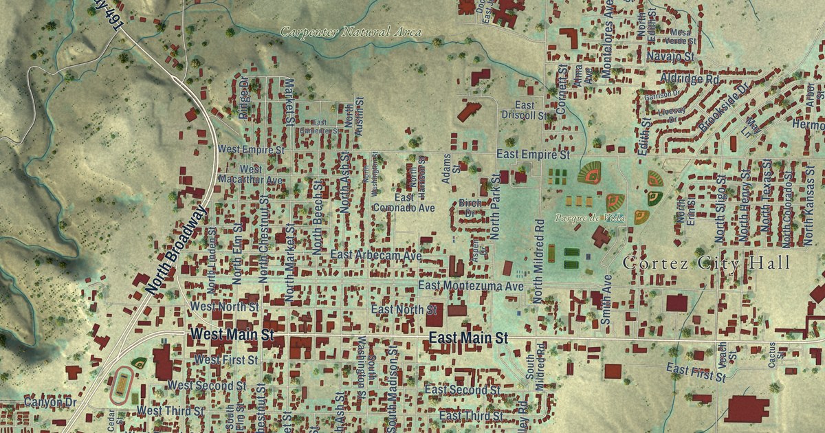
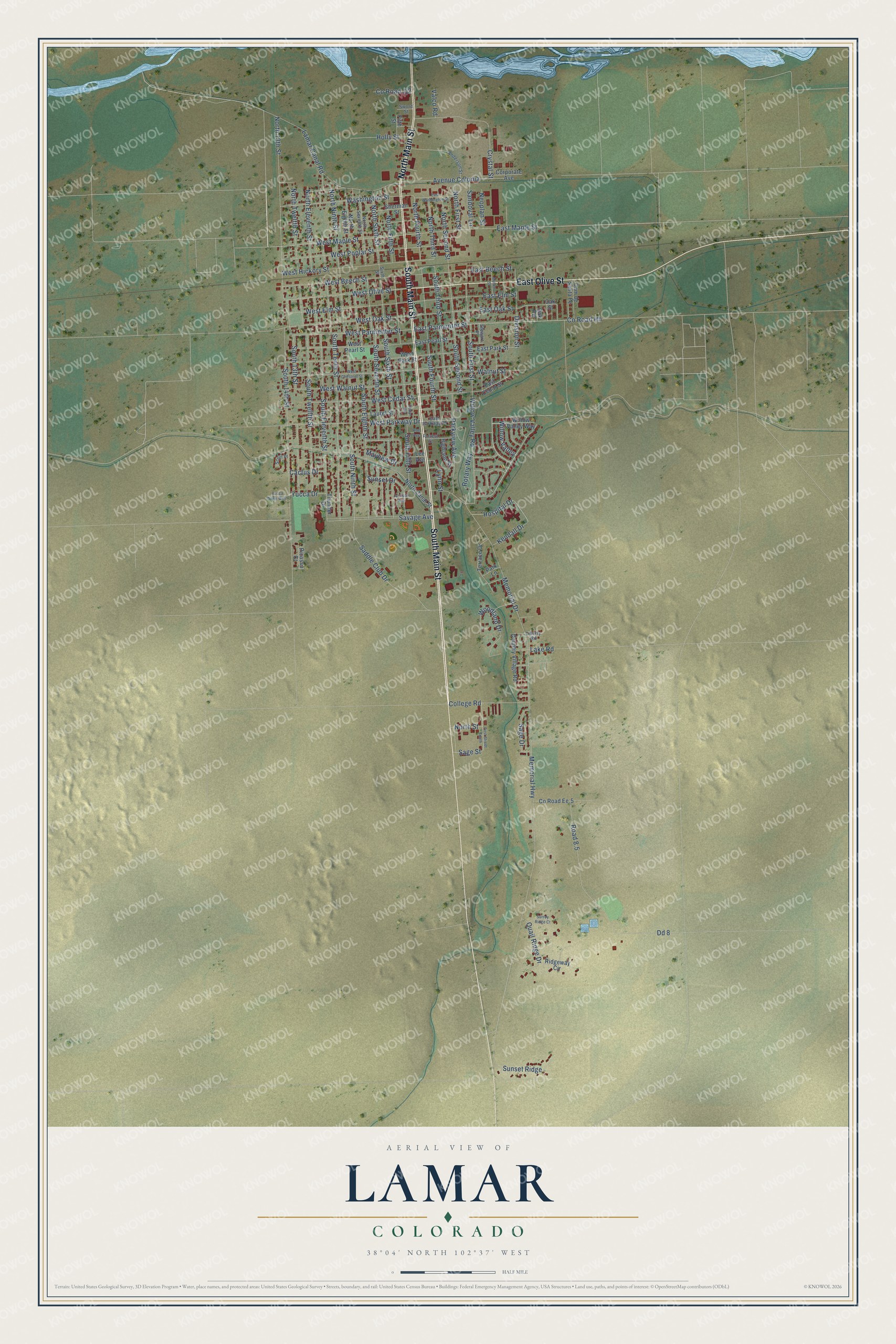
This beautifully detailed map of Lamar, Colorado was created in 2026 using aerial imagery combined with modern topographical, census, street and landmark data. It’s a one-of-a-kind view of Lamar that combines accurate data with a vintage aesthetic. The map shows every building in its true location, many of the roads carry their names, and the shaded topographic relief shows the shape of the land.
Explore an aerial view of Lamar, Colorado
On the map you’ll find Willow Valley, along with South Main Street, East Olive Street, North Main Street, Willow Valley Road, West Olive Street, West Maple Street, North Fourth Street, South 13th Street, East Maple Street, Memorial Highway, Yucca Drive, and more. If you look closely you can even find your house accurately drawn in its correct location. Zoom in on the preview to look for yours.
Did you know this piece of Lamar, Colorado history?
From the Colorado Encyclopedia: "The Lamar Post Office was built in 1936 as a Public Works Administration (PWA) project. Designed by Pueblo architect Walter DeMordaunt, the building is the only Spanish Colonial Revival post office built as part of the New Deal in Colorado."
Take a closer look at the Lamar map
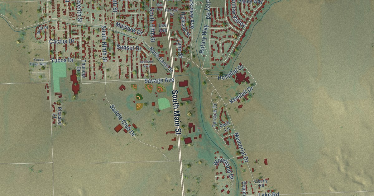
Street names on the Lamar, Colorado map
These names are printed on the map of Lamar, Colorado.
Streets and roads: South Main Street, East Olive Street, North Main Street, Willow Valley, Willow Valley Road, West Olive Street, West Maple Street, North Fourth Street, South 13th Street, East Maple Street, Memorial Highway, Yucca Drive.
More street names, A to Z
Anderson Street, Avenue Colonia, Cactus Drive, Cam de Santa Fe, Cedar Hls, College Road, Corporate Avenue, Country Village Road, County Road Ee.5, County Road Hh, County Road Jj2, Crystal Street, Dd 8, Division Street, East Beech Street, East Cedar Street, East Elm Street, East Oak Street, East Park Street, East Parkway Drive, East Parmenter Street, East Pearl Street, East Washington Street, Fifth Street, First Street South, Forrest Street, Highland Street, Holly Street, Hospital Drive, Jackson Avenue, Kendall Drive, Lake Road, Lamar Canal Road, Laurel Street, Lee Avenue, Liberty Road, Lynn Street, Mayhew Drive, Memorial Drive, Mullen Street, Neoplan Street, North 13th Street, North Canal Street, North Eighth Street, North Eleventh Street, North Fifth Street, North First Street, North Ninth Street, North Second Street, North Seventh Street, North Sixth Street, North Street, North Third Street, North Twelfth Street, Oak Road, Oak Street, Park Lane, Parkview Avenue, Picasso Court, Quail Ridge Drive, Ridgeway Circle, Road 8.5, Roe Avenue, Rotary Way, Saddle Club Drive, Sage Drive, Sage Street, Sandoval Lane, Savage Avenue, Scott Place, Sherman Street, Sixth Street, South 14th Street, South Eighth Street, South Eleventh Street, South Fifth Street, South First Street, South Fourth Street, South Ninth Street, South Second Street, South Seventh Street, South Sixth Street, South Tenth Street, South Third Street, South Twelfth Street, Stewart Place, Sunset Drive, Sunset Ridge, Surrey Ridge Court, Sword Street, Terrace Drive, Thunder Drive, Valco Road, Walnut Street, Washington Street, West Beech Street, West Cedar Street, West Chestnut Street, West Elm Street, West Hickory Street, West Oak Street, West Park Street, West Parkway Drive, West Parmenter Street, West Pearl Street, West Poplar Street, West Walnut Street, Willow Valley Way, Woodland Drive, Yucca Drive West.
See the Lamar, Colorado map on a wall
The Lamar map as an 18 x 24 inch print in a black frame.

This beautifully detailed map of Lamar makes an attractive addition to your office, library, or den, and it can even be used to teach children the geography and history of the area. It also makes a great gift for anyone with Lamar roots. When you’re done exploring, click here to get your copy of the Lamar map.