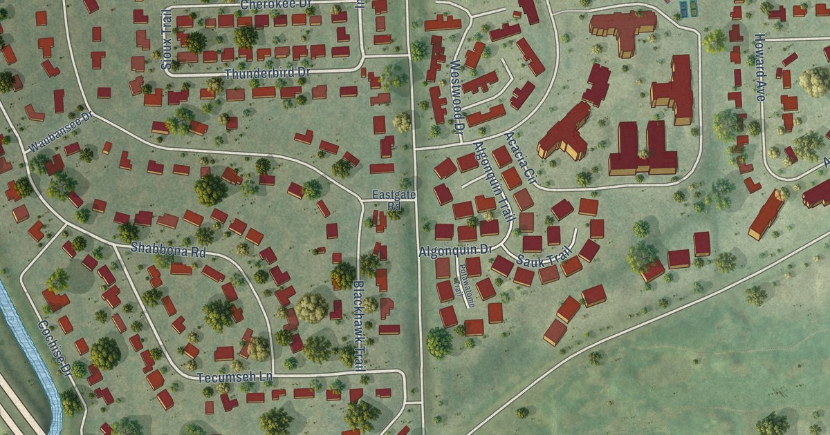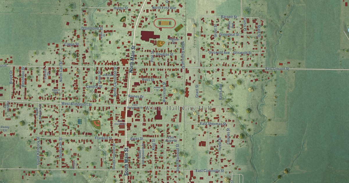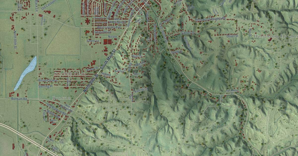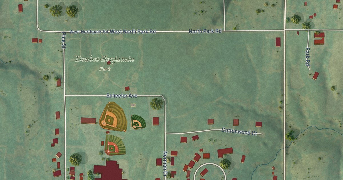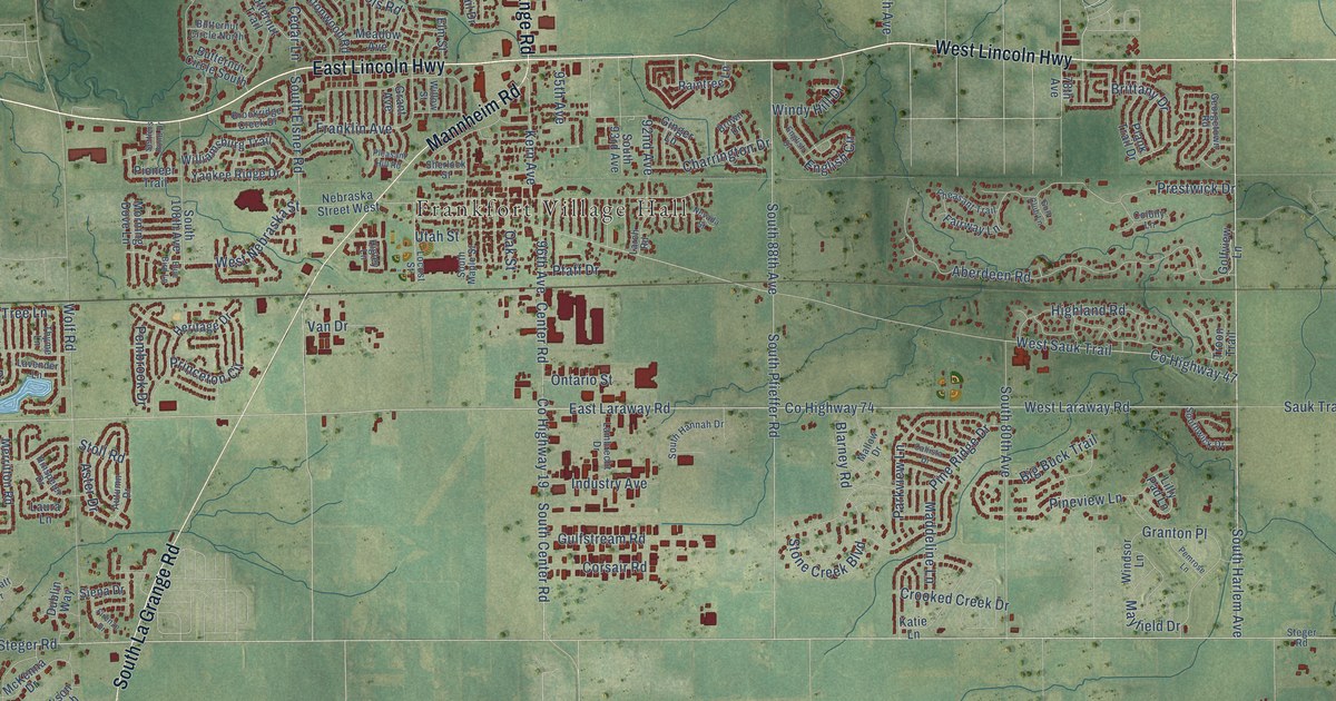
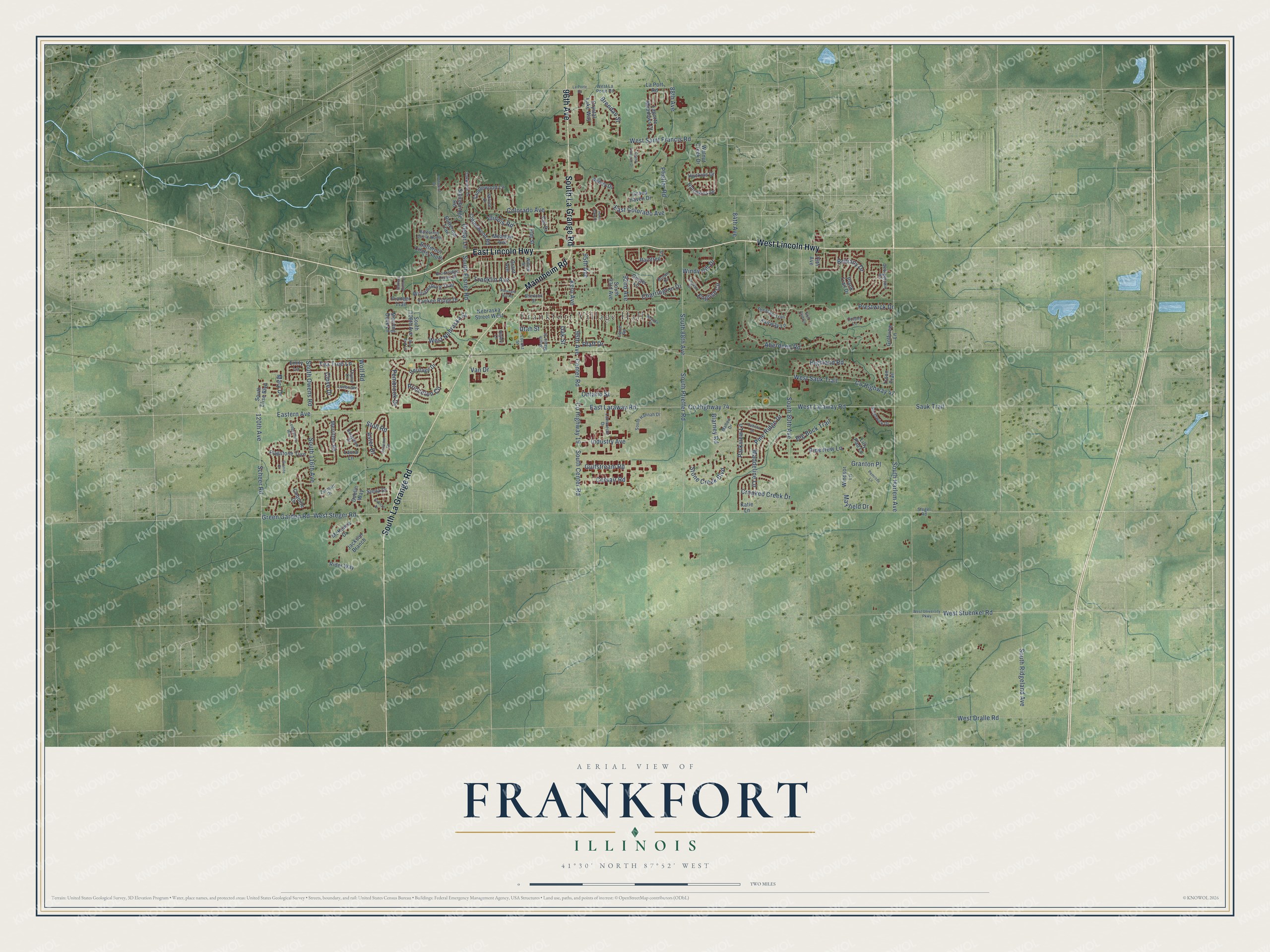
This beautifully detailed map of Frankfort, Illinois was created in 2026 using aerial imagery combined with modern topographical, census, street and landmark data. It's a modern aerial view of Frankfort in Will County, Illinois, that combines modern data with a vintage aesthetic. The roads feature printed names, and if you look closely you can find your exact house accurately shown in its correct location.
Explore an aerial view of Frankfort, Illinois
On this map you'll find Frankfort Village Hall, West Lincoln Highway, East Lincoln Highway, South La Grange Road, Mannheim Road, 96th Avenue, South Harlem Avenue, West Laraway Road, West Steger Road, 120th Avenue, Eastern Avenue, Co Highway 74, and more. Each red shape is a building, so zoom in on the preview and look for yours.
Frankfort has a story worth telling. The Will County History puts it this way: "Doty’s residence was a regular preaching-place until the era of schoolhouses, as there was no church edifice built until after the village of Frankfort was laid out."
Frankfort is a village in Will County. The Census Bureau counted 20,296 people here in 2020.
Take a closer look at the Frankfort map
Names on this map
These names are printed on this map.
Places: Frankfort Village Hall.
Streets and roads: West Lincoln Highway, East Lincoln Highway, South La Grange Road, Mannheim Road, 96th Avenue, South Harlem Avenue, West Laraway Road, West Steger Road, 120th Avenue, Eastern Avenue, County Highway 74, Green Garden Road.
More street names, A to Z
78th Avenue, 84th Avenue, 88th Avenue, 92nd Avenue, 95th Avenue, Abbey Drive, Aberdeen Road, Aster Drive, Autumn Drive, Big Buck Trail, Blarney Road, Blue Bird Lane, Brendan Street, Brittany Drive, Brookridge Creek Drive, Brown Drive, Butternut Circle North, Butternut Circle South, Butternut Trail, Callista Drive, Cedar Lane, Center Road, Charrington Drive, Clove Drive, Colony Lane, Colorado Avenue, Coquille Drive, Corsair Road, Cottonwood Road, County Highway 19, County Highway 47, Crooked Creek Drive, Crystal Lake Way, Dublin Way, East Colorado Avenue, East Laraway Road, Elm Street, Emily Lane, English Circle, English Drive, Fairway Lane, Firenze Drive, Flagstone Turn, Franklin Avenue, Georgetown Road, Ginger Lane, Golf Club Lane, Golfview Lane, Grand Haven Drive, Grand Traverse Drive, Granite Drive, Grant Avenue, Granton Place, Gulfstream Road, Heritage Drive, Highland Road, Higley Lane, Hinspeter Drive, Hotchkiss Drive, Huckins Drive, Hunt Club Drive, Illinois Road, Industry Avenue, Ironwood Drive, Jackson Branch, Katie Lane, Kern Avenue, Lambrecht Drive, Laporte Meadows Court, La Porte Road, La Port Road, Larch Road, Laura Lane, Lavender Lane, Ledgestone Way, Lilly Pad Lane, Locust Street, Maddeline Lane, Mallow Drive, Mary Drive, Mayfield Drive, McKenna Drive, Meadow Avenue, Merritton Road, Morning Dove Lane, Nebraska Street West, Nevada Street, Oak Street, Oakwood Drive, Ontario Street, Parkview Lane, Pembrook Drive, Pemrose Lane, Pfaff Drive, Pfieffer Road, Pheasant Trail, Pine Ridge Drive, Pineview Lane, Pioneer Trail, Plank Trail Drive, Pleasant Hill Road, Prestwick Drive, Princeton Circle, Raintree Lane, Rider Way, Sauk Trail, Scheer Road, Settlers Pond Drive, Sherlock Street, Siena Drive, South 80th Avenue, South 88th Avenue, South 93rd Avenue, South 108th Avenue, South 116th Avenue, South Center Road, South Elise Boulevard, South Elsner Road, South Hannah Drive, South Maple Street, South Owens Road, South Pfieffer Road, South Ridgeland Avenue, Southwick Drive, Spruce Drive, Steger Road, Stoll Road, Stonebridge Road, Stone Creek Boulevard, Tanglewood Lane, Tea Tree Lane, Thyme Lane, Troon Trail, Utah Street, Vail Drive, Van Drive, Walnut Creek Drive, West Dralle Road, West La Porte Road, West Nebraska Street, West Saint Francis Road, West Sauk Trail, West Stuenkel Road, West University Parkway, Williamsburg Trail, Willow Street, Windsor Lane, Windy Hill Drive, Wolf Road, Yankee Ridge Drive, Zermatt Drive.
Created by KNOWOL in 2026. The buildings are small red shapes, the roads carry their printed names, and shaded relief shows the shape of the land. The title panel reads "AERIAL VIEW OF FRANKFORT ILLINOIS" with 41°30' NORTH 87°52' WEST.
It looks right in a kitchen, an office or a den, and it's a gift for anyone who grew up in Frankfort or moved away. Open the preview and find your street. See sizes and frames for the Frankfort map.