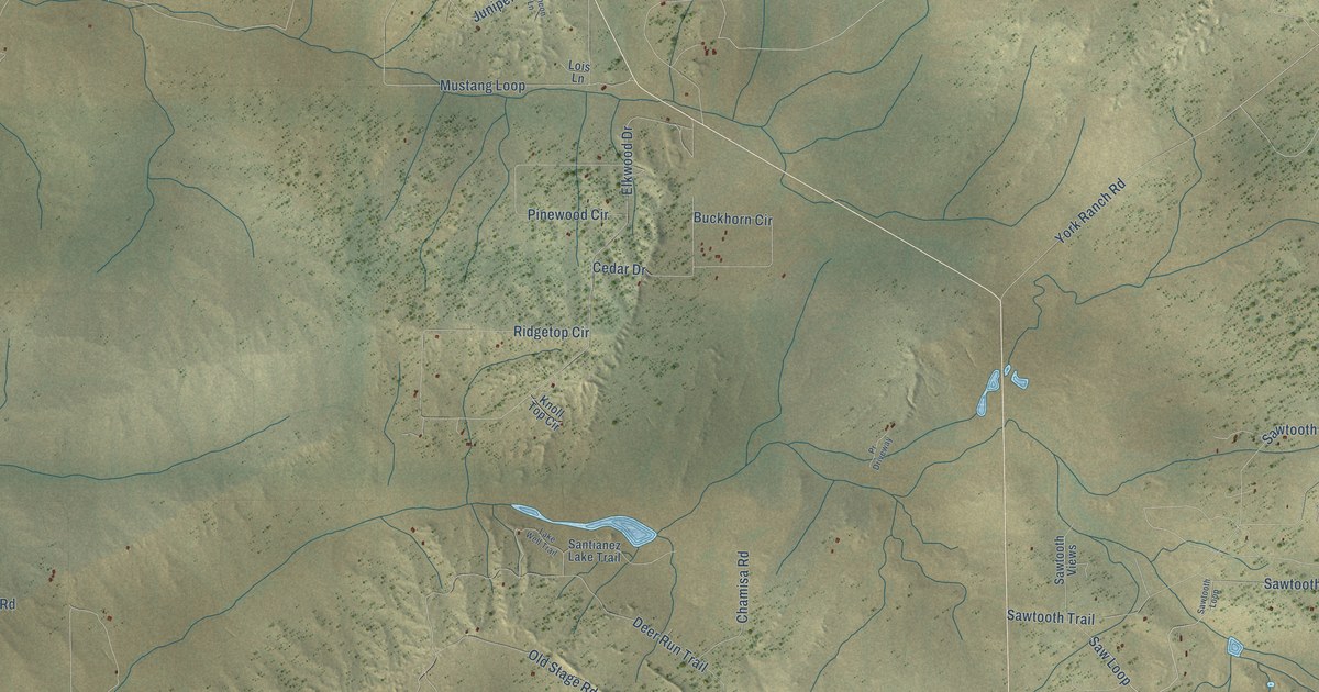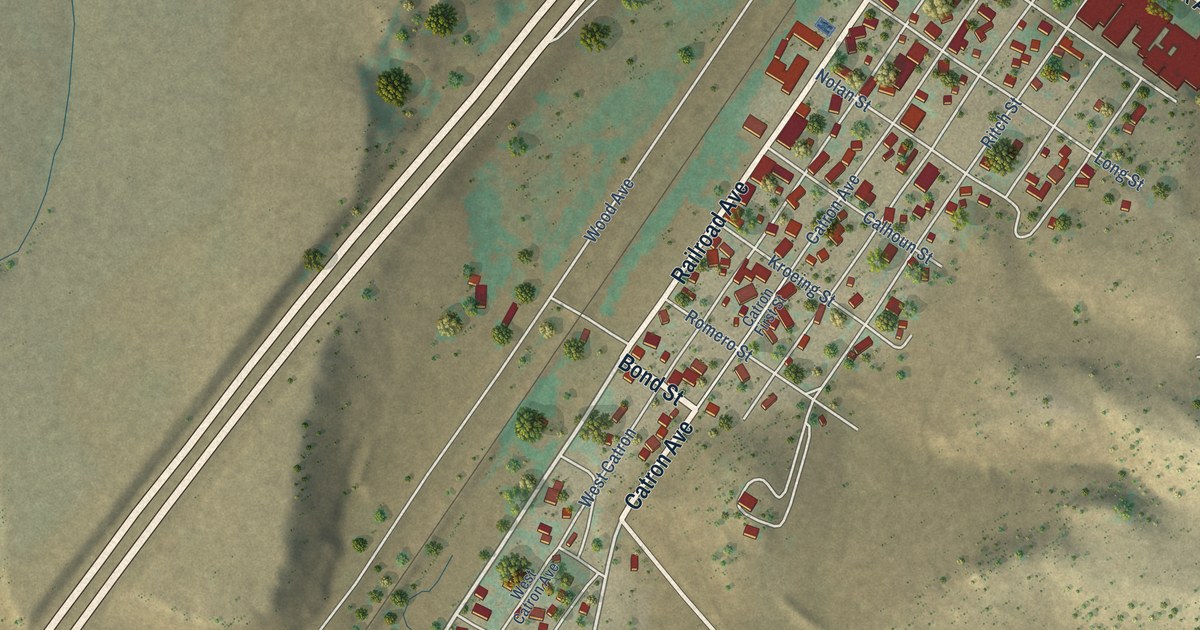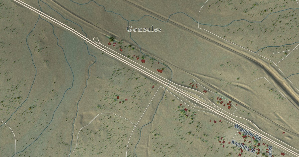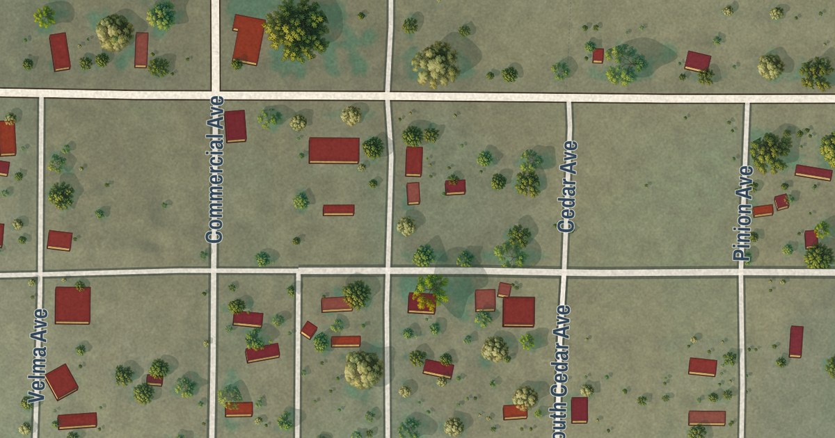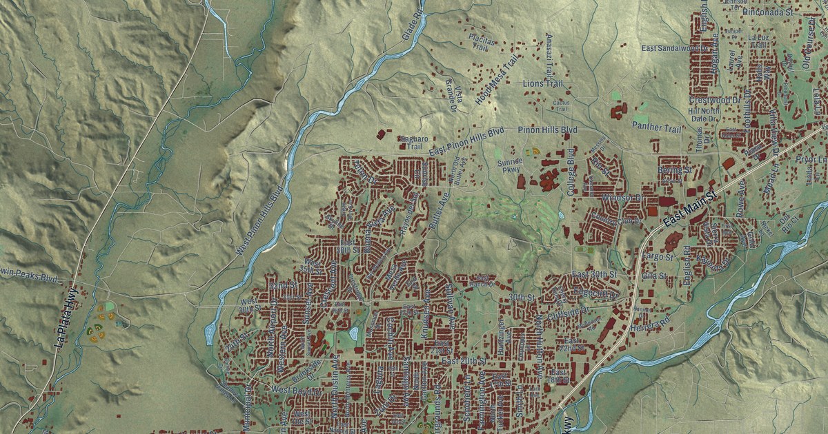
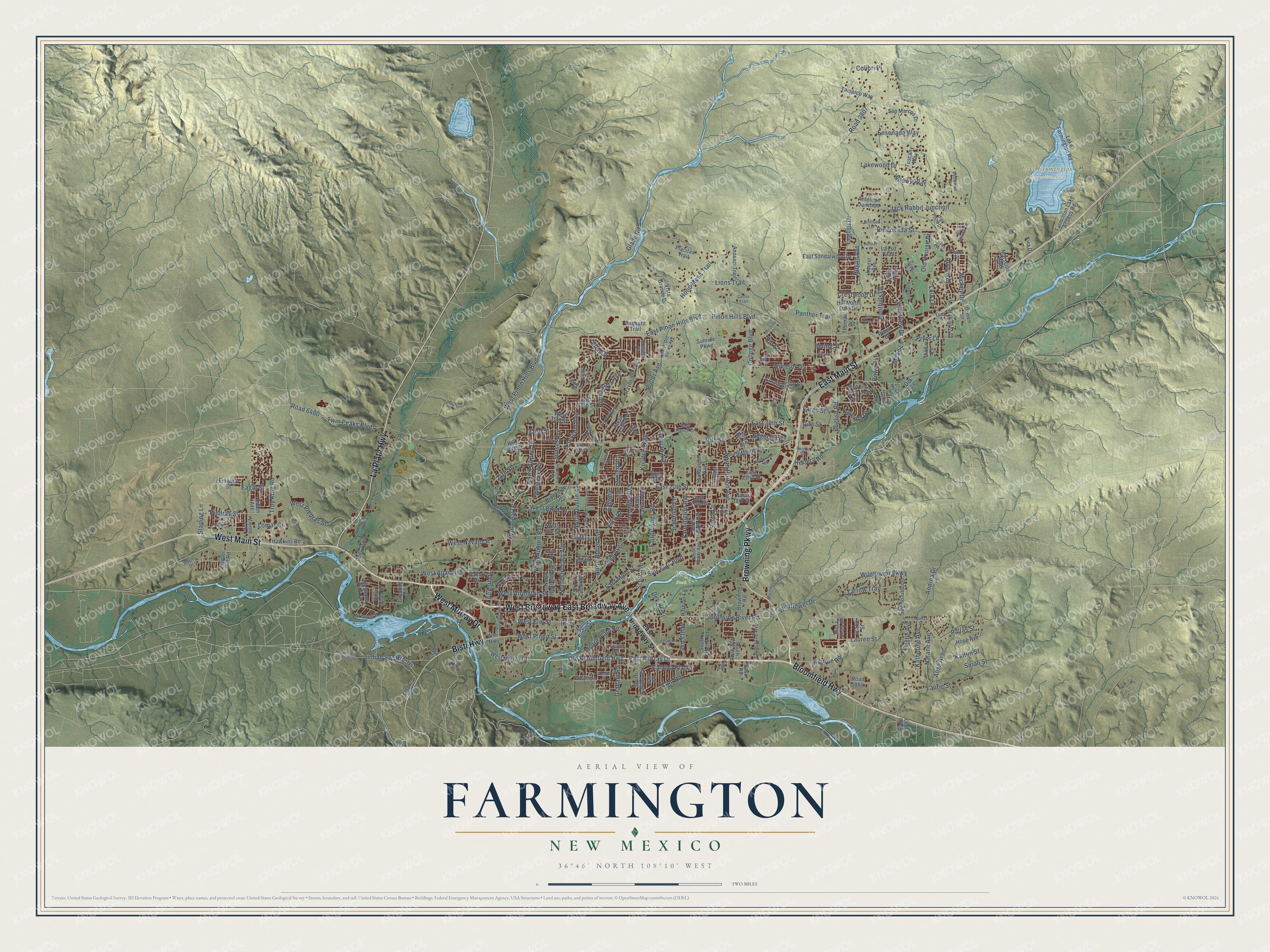
This beautifully detailed map of Farmington, New Mexico was created in 2026 using aerial imagery combined with modern topographical, census, street and landmark data. It’s a one-of-a-kind view of Farmington that combines accurate data with a vintage aesthetic. The map shows every building in its true location, many of the roads carry their names, and the shaded topographic relief shows the shape of the land.
Explore an aerial view of Farmington, New Mexico
On the map you’ll find Berg Park, Lake Farmington Recreation Area, and West Broadway, along with Bloomfield Highway, West Murray Drive, East Broadway Avenue, Browning Parkway, East Main Street, West Main Street, La Plata Highway, Bisti Highway, West Pinon Street, and more. If you look closely you can even find your house accurately drawn in its correct location. Zoom in on the preview to look for yours.
Did you know this piece of Farmington, New Mexico history?
From the University of New Mexico Libraries: "After the Ancestral Puebloans abandoned the Farmington area, it was occupied by the Navajo, Utes, and the Jicarilla Apache. The current town was incorporated in 1901, and a narrow gauge railroad to Durango, Colorado was completed in 1905."
Take a closer look at the Farmington map
Street and place names on the Farmington, New Mexico map
These names are printed on the map of Farmington, New Mexico.
Places: Berg Park and Lake Farmington Recreation Area.
Streets and roads: Bloomfield Highway, West Murray Drive, West Broadway, East Broadway Avenue, Browning Parkway, East Main Street, West Main Street, La Plata Highway, Bisti Highway, West Pinon Street, East Murray Drive, Old Bloomfield Highway.
More street names, A to Z
18th Street, 24th Street, 30th Street, 31st Street, 32nd Street, 33rd Street, Airport Drive, Alise Avenue, Alpine Avenue, Anasazi Trail, Andrea Drive, Antelope Junction, Arctic Street, Arroyo Drive, Basin Road, Bayhill Drive, Bering Street, Billie Avenue, Bonnie Circle, Brookside Drive, Browning Road, Buena Vista Avenue, Butler Avenue, Cactus Trail, Camaron Avenue, Camina Placer, Cam Rio, Cam Sol, Cherry Hills Drive, Cliffside Drive, Club House Drive, Cochiti Avenue, Colibri Place, College Boulevard, Country Club Drive, Courtland Drive, Coy Avenue, Crescent Avenue, Crestridge Drive, Crestwood Drive, Cristo Rey Avenue, Culpepper Lane, Deer Trail, Dekalb Street, Dellwood Court, Del Rio Court, Drinen Lane, Eagle Street, East 17th Street, East 18th Street, East 20th Street, East 21st Street, East 22nd Street, East 27th Street, East 28th Street, East 30th Street, East 38th Street, East Alder Street, East Broadway Street, East Elm Street, East Hopi Street, East Navajo Street, East Pinon Hills Boulevard, East Pinon Street, East Ranch Drive, East Sandalwood Drive, East Ute Street, Edgecliff Drive, El Paso Drive, Emerald Street, Energy Court, English Drive, English Road, Ensenada Way, Fairgrounds Road, Farmington Avenue, Farminton Lake Access Road, First Avenue, Foothills Drive, Gila Street, Glade Road, Gold Avenue, Goldenrod Avenue, Gooding Lane, Graham Road, Hallmarc Drive, Halls Way, Hannon Drive, Harbour Lane, Harper Hill Road, Hawk Eye Street, Hawkins Road, Herrera Road, High Point Drive, Hill North Dale Drive, Hines Road, Hogan Avenue, Hood Mesa Trail, Hope Avenue, Huntzinger Avenue, Hydro Plant Road, Indian Service Road 36, Indian Svc Route 36, Jack Rabbit Junction, Jeffery Drive, Johnson Terrace, Juniper Place, Kaitlin Street, Katherine Avenue, Kayenta Drive, Kira Drive, Knudsen Avenue, Laguna, Lake Farmington Road, Lakewood Drive, La Luz Trail, La Puente Street, Largo Street, Lark Avenue, Laurel Avenue, Lauren Street, Laurie Street, Linda Lane, Lions Trail, Lola Lane, Lomas Street, Malta Avenue, Marseille Boulevard, Mead Lane, Melissa Street, Mesa Verde Avenue, Mesa Vista Drive, Messina Drive, Mickey Drive, Mission Avenue, Monroe Road, Morningstar Drive, Mortenson Road, Mossman Drive, Municipal Drive, Natane Avenue, Nickel Lane, North Airport Drive, North Auburn Avenue, North Behrend Avenue, North Butler Avenue, North Carlton Avenue, North Court Avenue, North Dustin Avenue, North Hutton Avenue, North Monterey Avenue, North Old Butler Avenue, North Orchard Avenue, North Sunset Avenue, North Tucker Avenue, Ojo Court, Old Course Drive, Pallas Street, Panther Trail, Pecos Street, Piedras Street, Pinehurst Drive, Pinon Hills Boulevard, Placitas Trail, Plaza Drive, Poulson Avenue, Primavera Drive, Pryor Lane, Rayos del Sol, Rinconada Street, Rio Street, Road 3807, Road 5793, Road 5860, Road 6000, Road 6480, Robin Avenue, Rowe Avenue, Saguaro Trail, Sandstone Avenue, San Juan Boulevard, San Marcos Drive, San Medina Avenue, Santiago Avenue, Sarah Street, Schofield Lane, Scott Avenue, Shadow Valley Lane, Sierra Vista Drive, Skyline Drive, Smith Lane, South Carlton Avenue, South Dustin Road, South Hutton Road, South Lake Street, Southside River Road, South Tucker Avenue, Spruce Street, Stable Street, Starling Lane, Sullivan Avenue, Sunrise Circle, Sunrise Parkway, Sunset Avenue, Sycamore Street, Tampico Way, Taylor Drive, Teton Drive, Thomas Drive, Troy King Road, Tuscany Way, Twin Peaks Boulevard, Valle Vista Drive, Veda Lane, Viento Avenue, Villa View Drive, Vine Avenue, Vista Grande Drive, Walnut Drive, West 30th Street, West 35th Street, West Apache Street, West Arrington Street, West Boyd Drive, West Elm Street, Western Avenue, Westland Park Drive, West Navajo Street, West Piedras Street, West Pinon Hills Boulevard, West Ute Street, Wildflower Drive, Wildflower Parkway, Wildwood Street, Windsor Drive, Yarrow Trail, Zuni Drive.
See the Farmington, New Mexico map on a wall
The Farmington map as an 18 x 24 inch print in a black frame.

This beautifully detailed map of Farmington makes an attractive addition to your office, library, or den, and it can even be used to teach children the geography and history of the area. It also makes a great gift for anyone with Farmington roots. When you’re done exploring, click here to get your copy of the Farmington map.