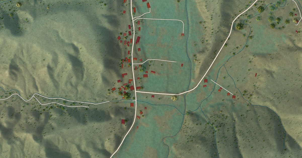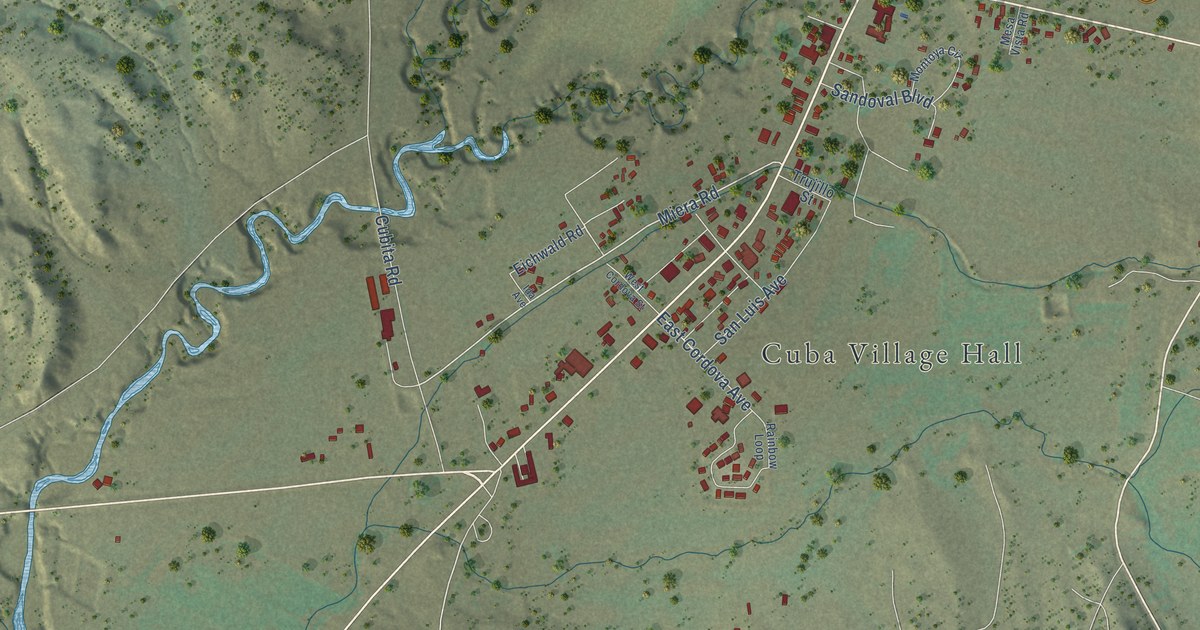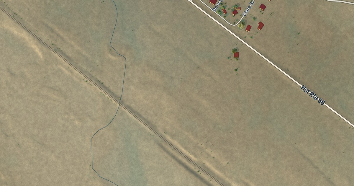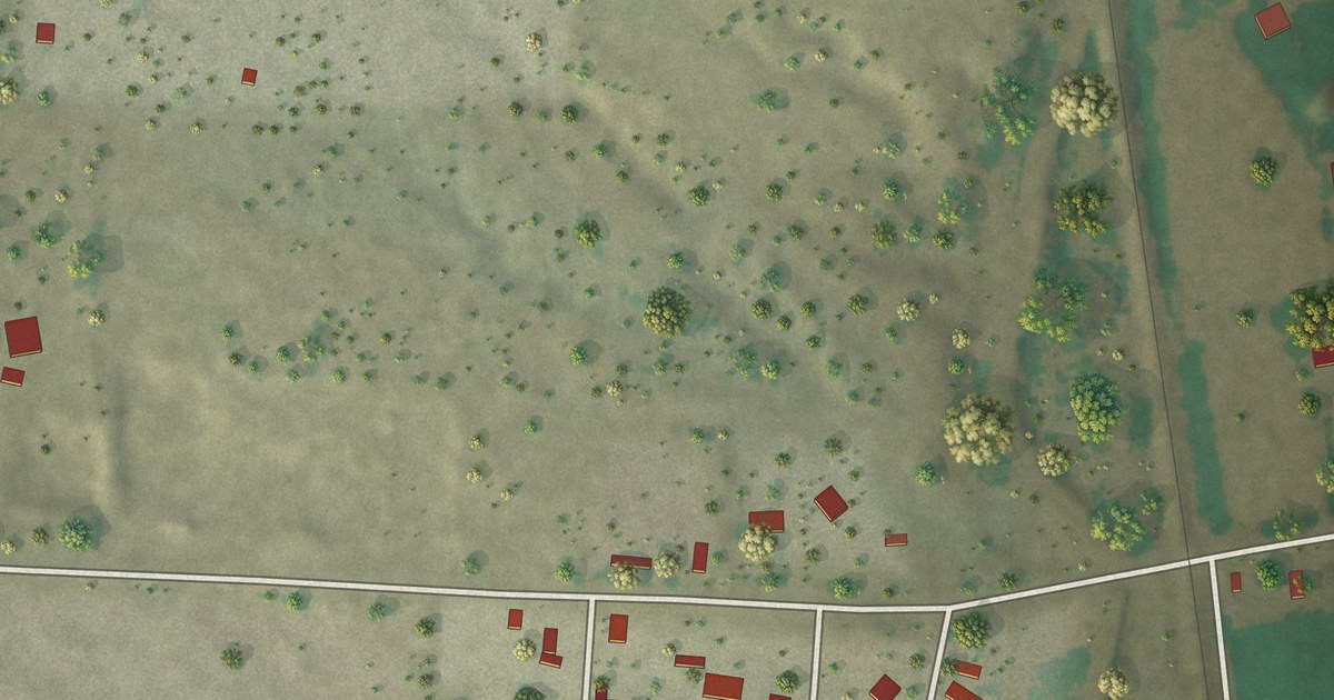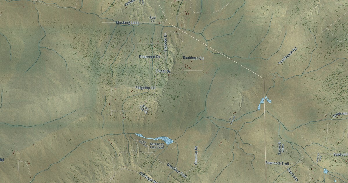
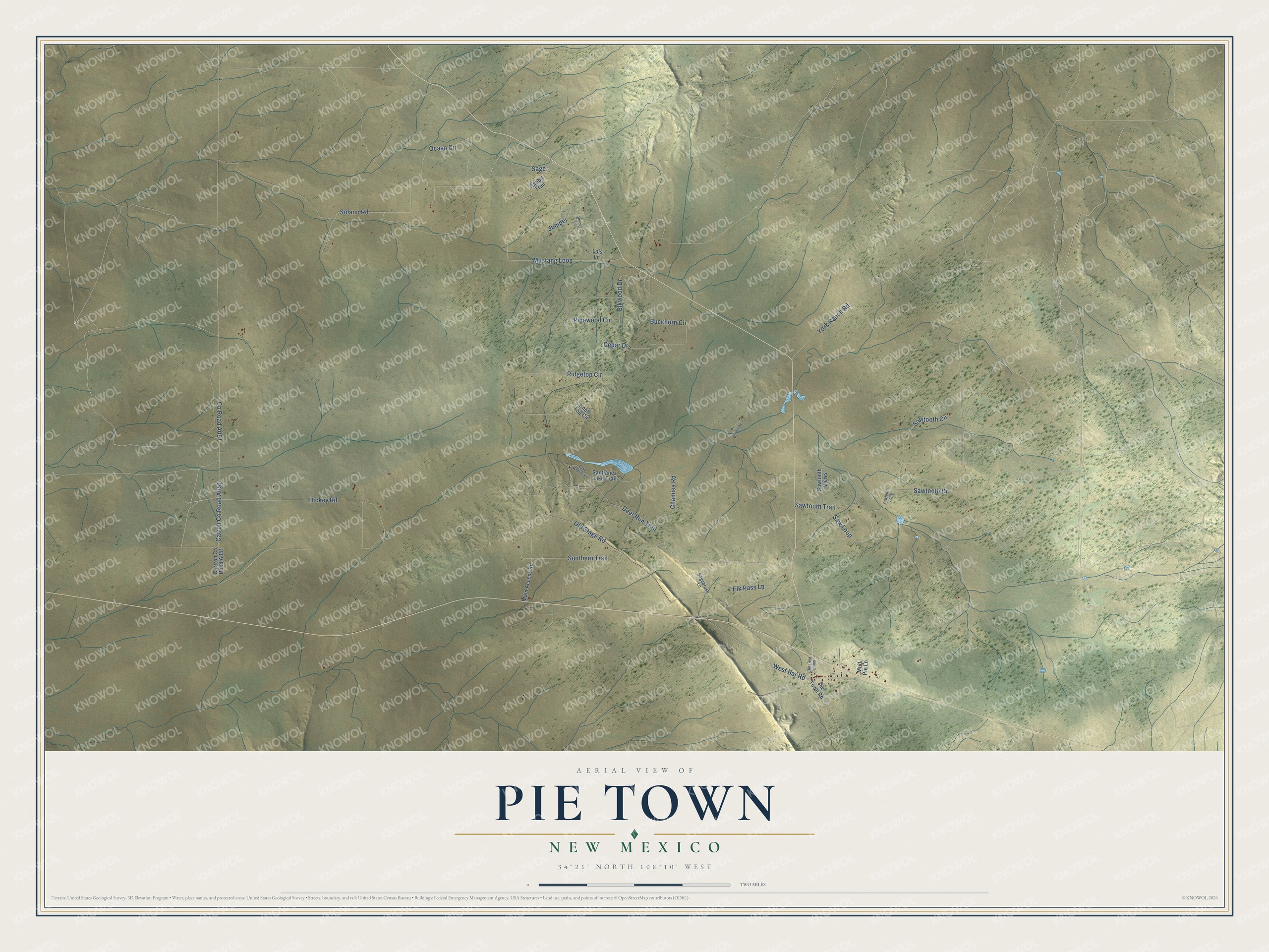
Pie Town is a community of 166 in Catron County, New Mexico. This beautifully detailed map of Pie Town, New Mexico was created in 2026 using aerial imagery combined with modern topographical, census, street and landmark data. It's a modern aerial view of Pie Town in Catron County, New Mexico, that combines modern data with a vintage aesthetic. The roads feature printed names, and if you look closely you can find your exact house accurately shown in its correct location.
Explore an aerial view of Pie Town, New Mexico
On this map you'll find Southern Trail, Elk Pass Lp, Sage, Catron Co Road A051, Old Stage Road, Mustang Loop, Sawtooth Drive, Co Road A051, Deer Run Trail, Solano Road, Sawtooth Trail, Ridgetop Circle, and more. Each red shape is a building, so zoom in on the preview and look for yours.
Pie Town has a story worth telling. As the story goes, Pie Town began by the early 1920s with a man named Norman, who filed a mining claim, opened a general store and baked pies from scratch for family and travelers. His pies were such a hit that people called the crossroads Pie Town. When locals asked for a post office around 1927, they said it would be Pie Town or no town. Dust Bowl families from Oklahoma and West Texas built the town up in the 1930s. In 1940, Farm Security Administration photographer Russell Lee made some 600 pictures of their life there. That's from the Smithsonian magazine.
Take a closer look at the Pie Town map
Names on this map
These names are printed on this map.
Streets and roads: Southern Trail, Elk Pass Lp, Sage, Old Stage Road, Mustang Loop, Sawtooth Drive, Deer Run Trail, Solano Road, Sawtooth Trail, Ridgetop Circle, West Bar Road, Elkwood Drive.
More street names, A to Z
Buckhorn Circle, Cedar Drive, Chamisa Road, Hickey Road, Juniper, Knoll Top Circle, Lake Well Trail, Lois Lane, Main Access Road, Mud Pie Lane, Ocaso Circle, Pie Town Road, Pinewood Circle, Pr Driveway, Rabbit Trail, Rincon Lane, Sagebrush Lane, Santianez Lake Trail, Saw Loop, Sawtooth Circle, Sawtooth Loop, Sawtooth Views, South Pie Town, York Ranch Road.
See it on a wall
The Pie Town map as a framed print. Swipe for more.


Created by KNOWOL in 2026. The buildings are small red shapes, the roads carry their printed names, and shaded relief shows the shape of the land. The title panel reads "AERIAL VIEW OF PIE TOWN, NEW MEXICO" with 34°21' NORTH 108°10' WEST.
It looks right in a kitchen, an office or a den, and it's a gift for anyone who grew up in Pie Town or moved away. Open the preview and find your street. See sizes and frames for the Pie Town map.